| About | Home | Recent Activities |
|
The Strollers
|
||
|
Narrowboating |
River Cruises |
Travel |
| Cornwall | Morganeering | Copyright |
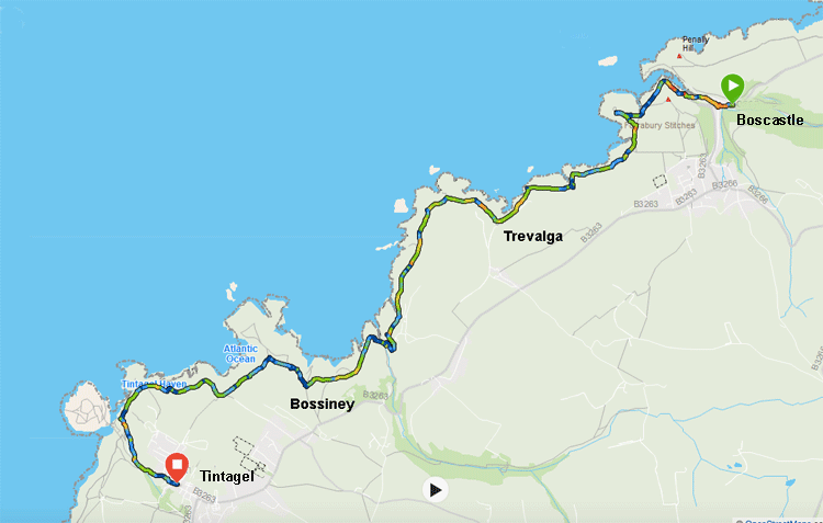
27th May 2021 .
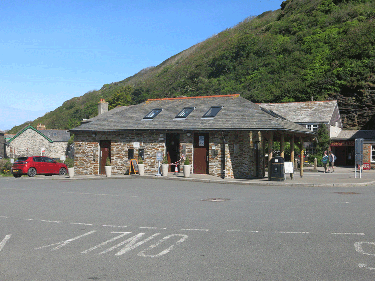
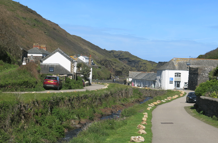
Start Point (SX 0999 9125) in Boscastle Harbour...... have your 20p ready for the toilet block!
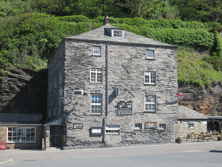
The Cobweb Inn
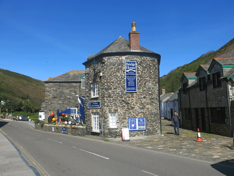
The Bridge House
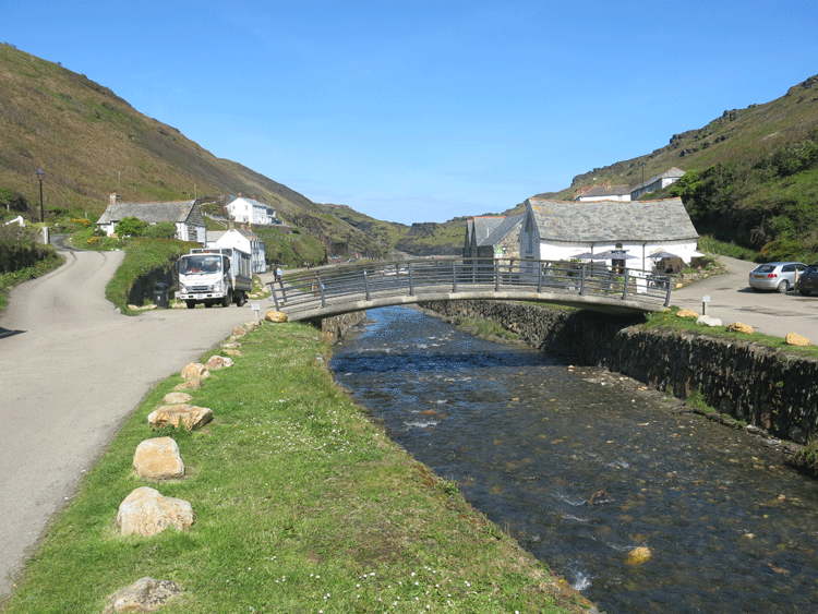
Keep to the left of the river
Take the road to the left
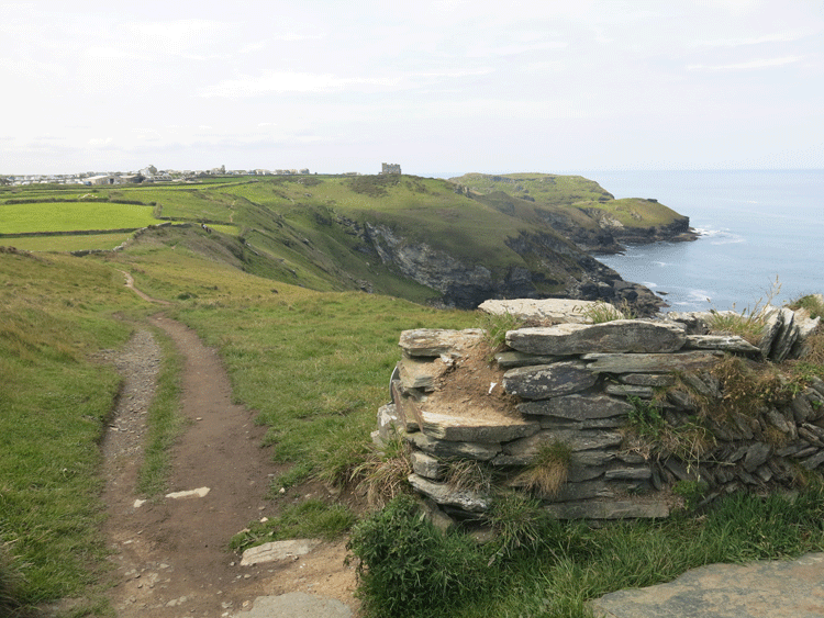
Entrance to Boscastle Harbour
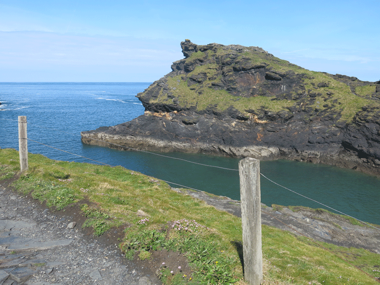
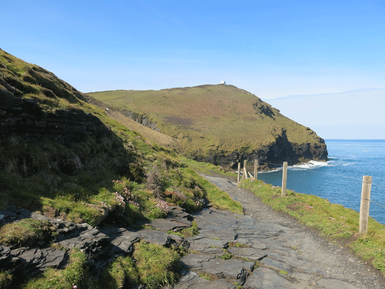
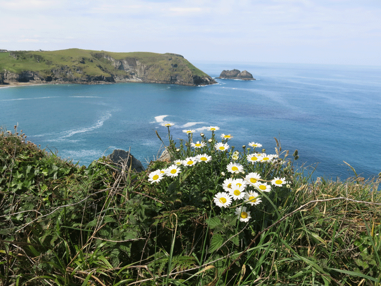
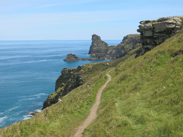
Heading towards Willapark
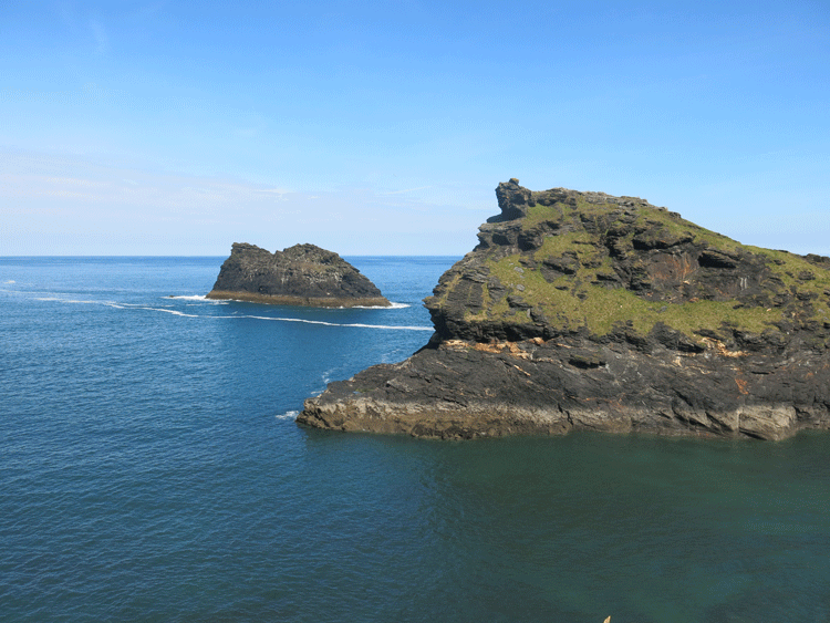
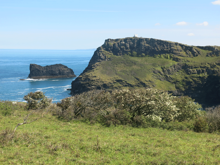
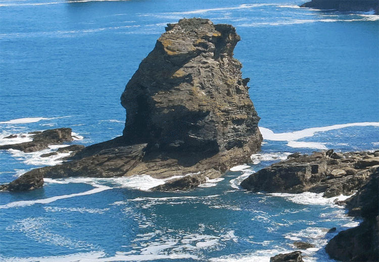
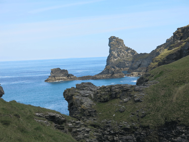
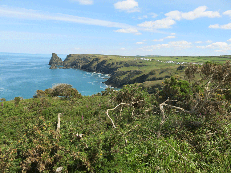
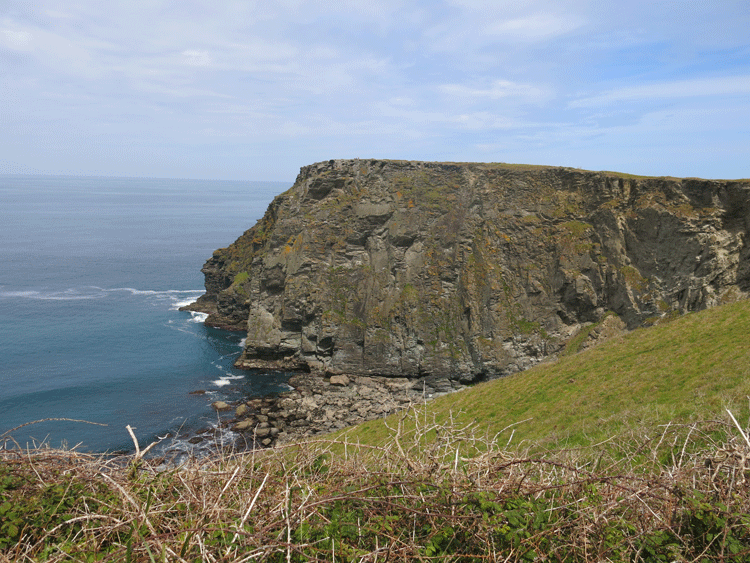
Meachard
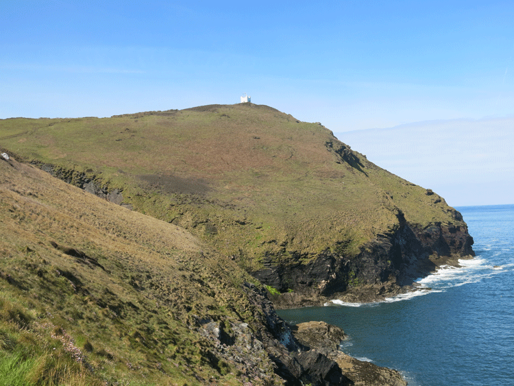
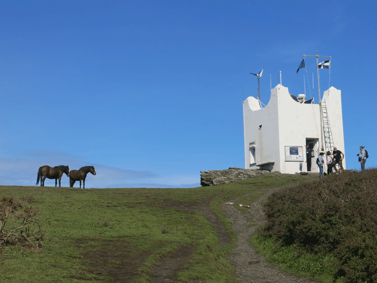
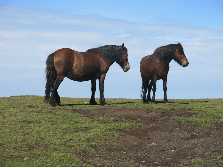
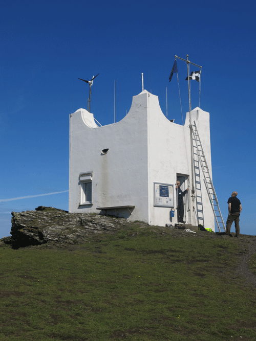
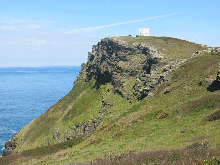
Willapark
Willapark
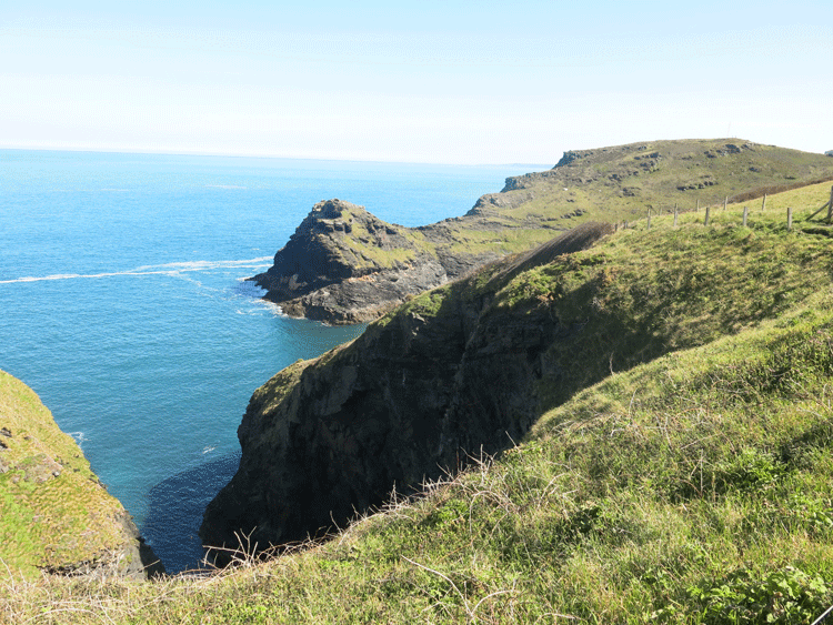
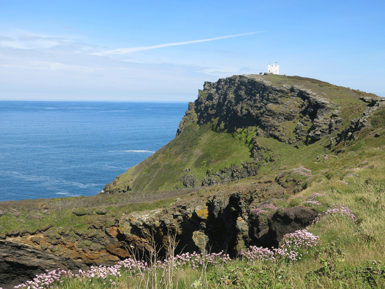
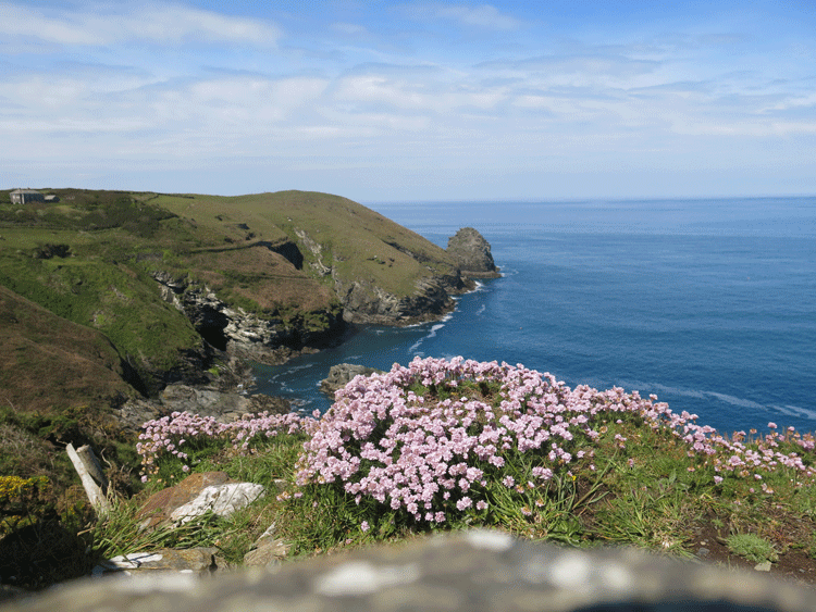
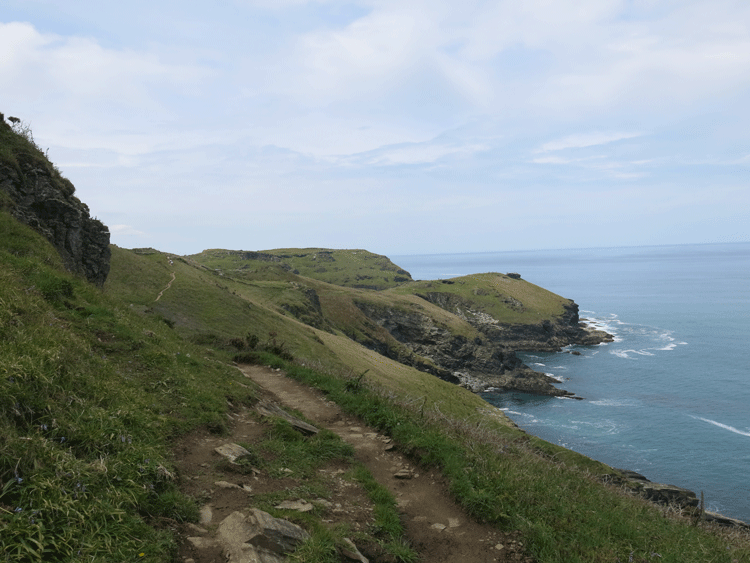
Looking back to Willapark
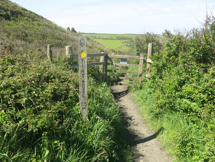
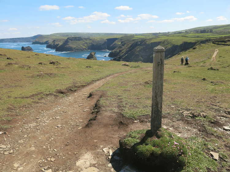
Tintagel 3.5 miles
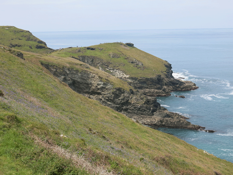
Looking back from Fire Beacon Hill
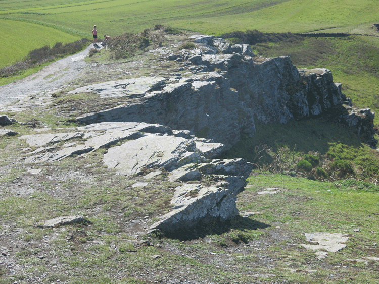
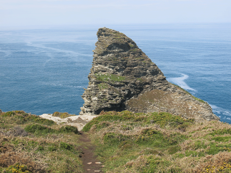
Cornwall's Matterhorn
Looking towards Tintagel, with the hotel just visible on the headland
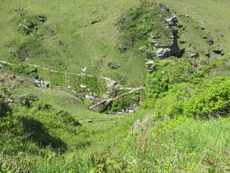
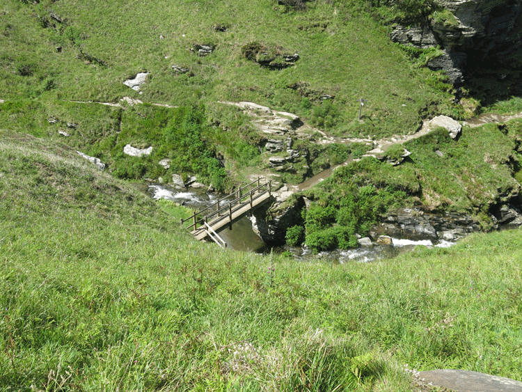
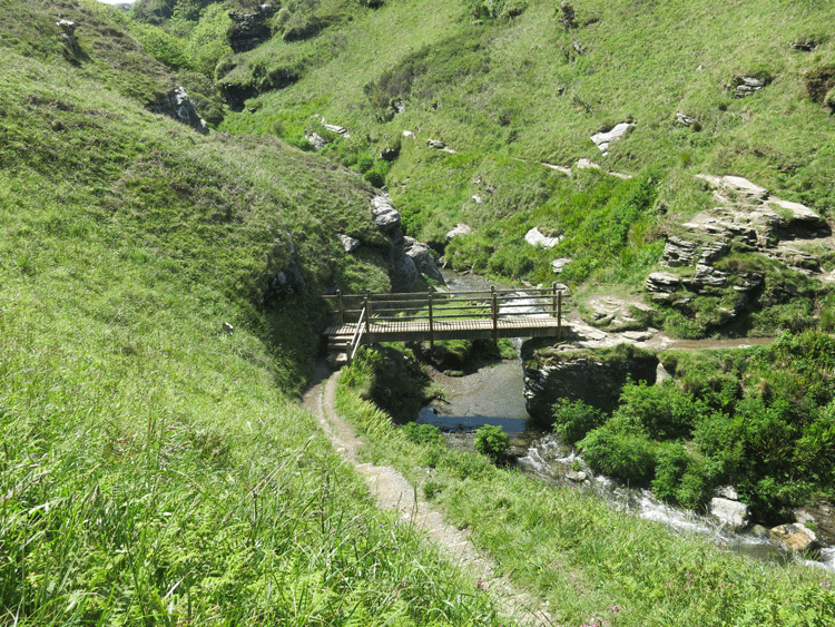
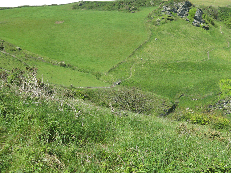
The way ahead.... a huge drop to a small footbridge followed by a substantial climb the other side
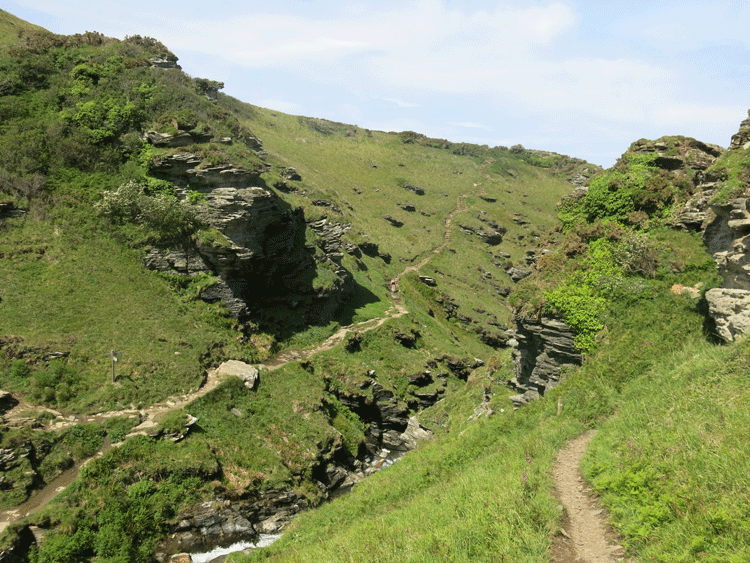
The climb the other side
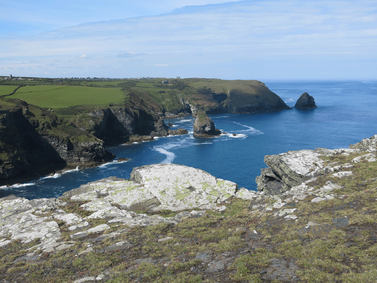
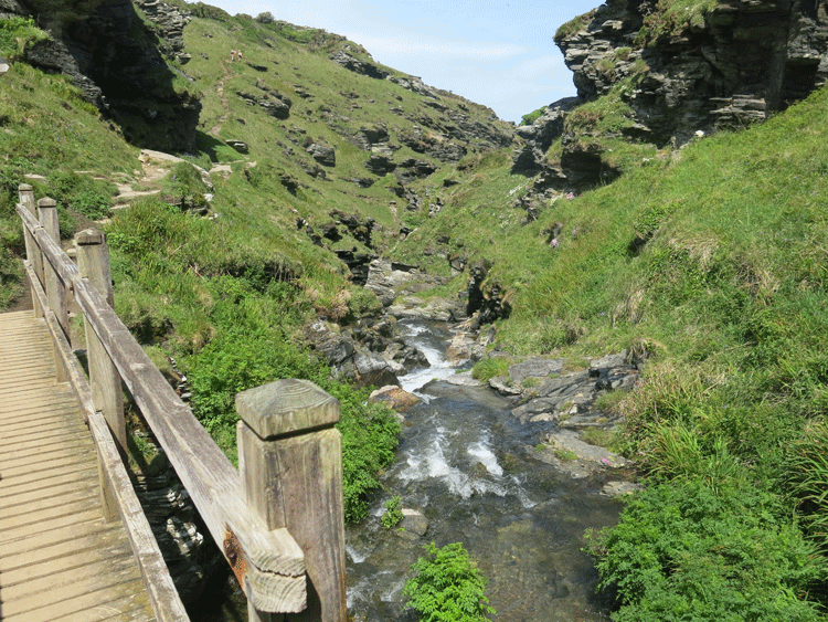
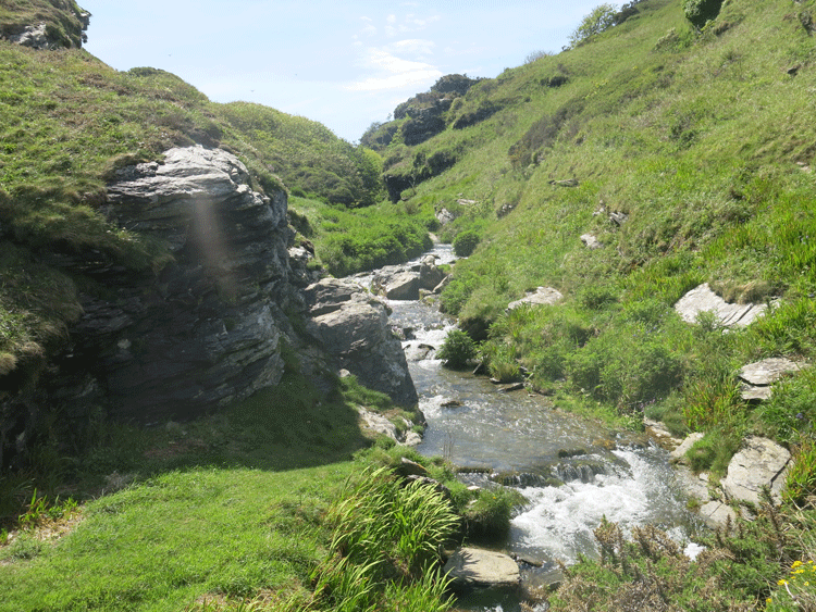
Rocky Valley
Looking back to the "Cornwall Matterhorn"
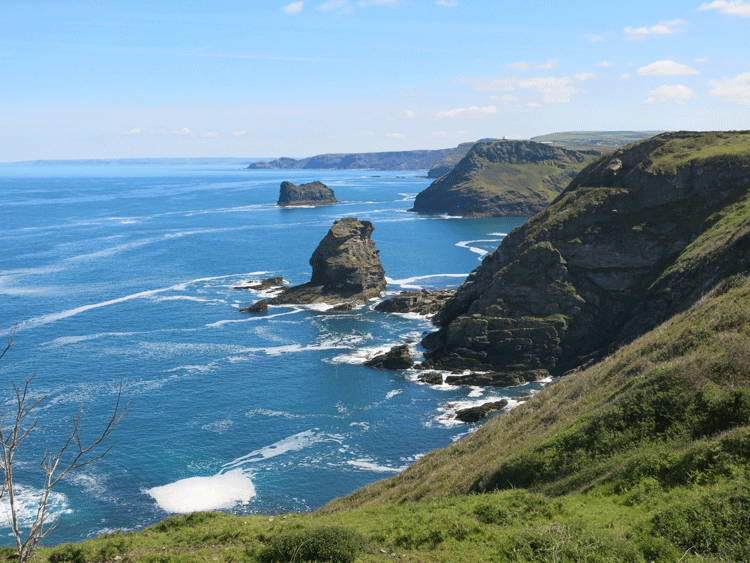
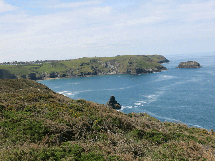
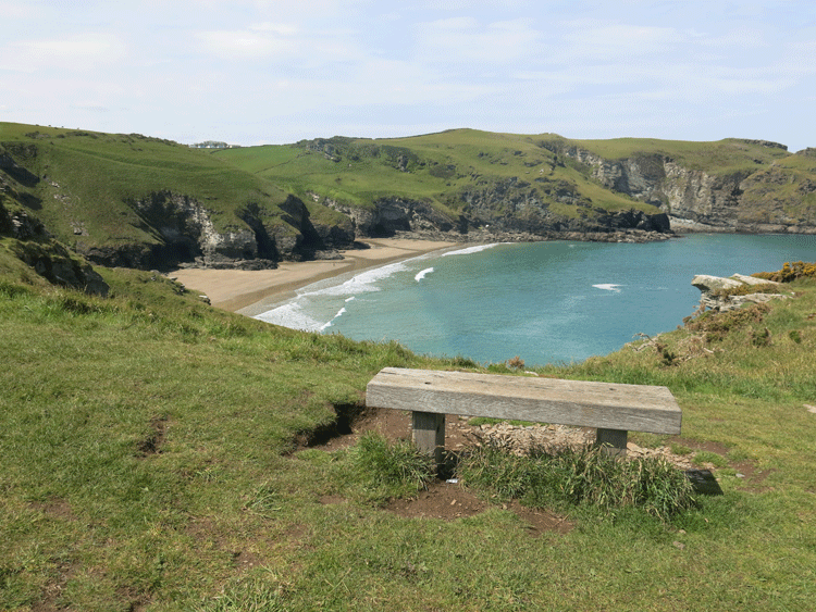
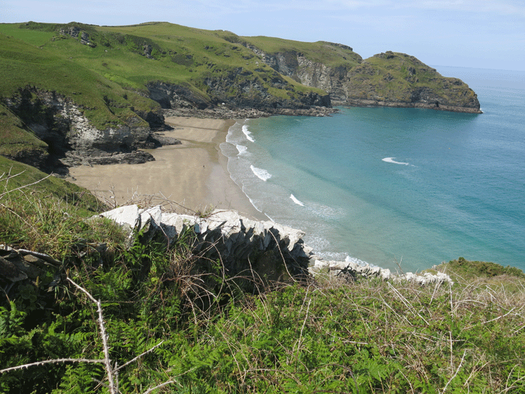
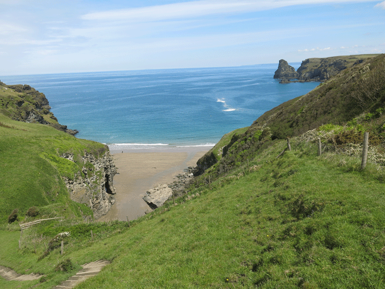
Benoath Cove
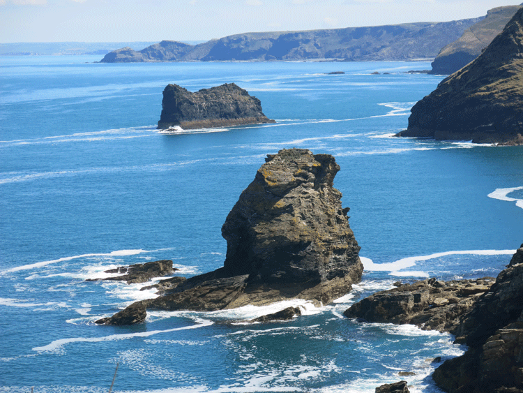
Lye Rock
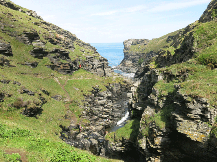
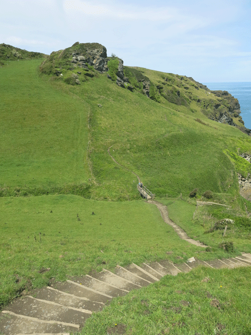
Another huge descent to a footbridge with a climb the other side
Another flat headland called "Willapark"
Barras Nose.....Heading to Tintagel castle
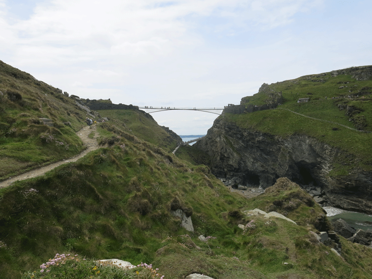
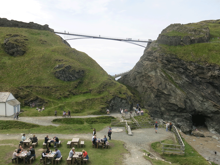
Footbridge to Tintagel Castle
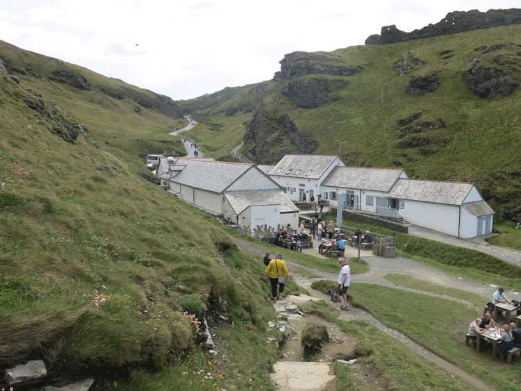
Steep track up to the village
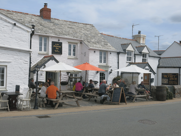
Tintagel Village
|
||||||||||||||||||||||||||||||||||||