
Cornwall
16th July 2021
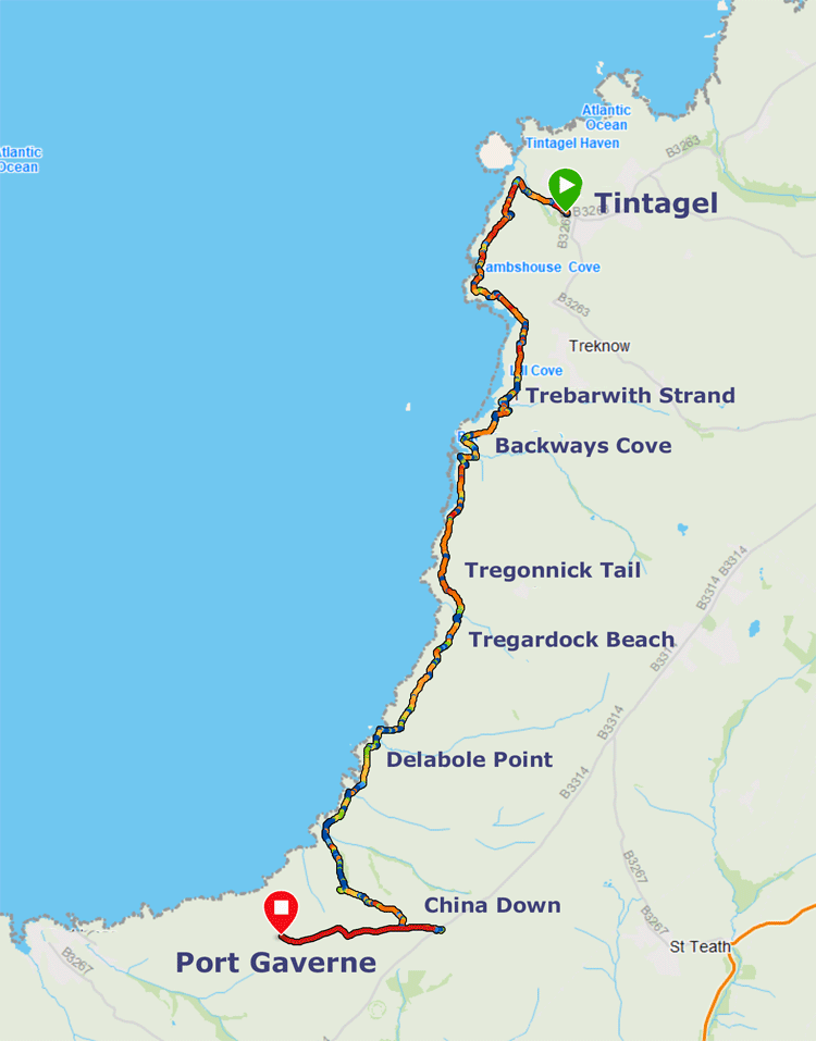
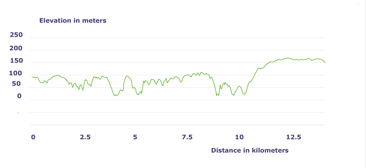
| Distance |
Time |
Elevation in meters |
Km |
Elapsed
Hrs-Mins |
Moving
Hrs-Mins |
Gain |
Loss |
Min |
Max |
| 12.5 |
5H30 |
4H00 |
652 |
583 |
16 |
168 |
|
|
|
|
|
|
|


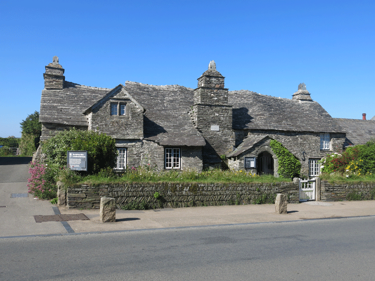
My start point..... The Old Post Office in Tintagel
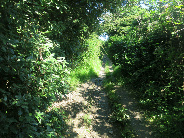
Taking the shaded path to Glebe Cliff
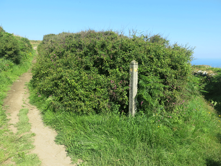
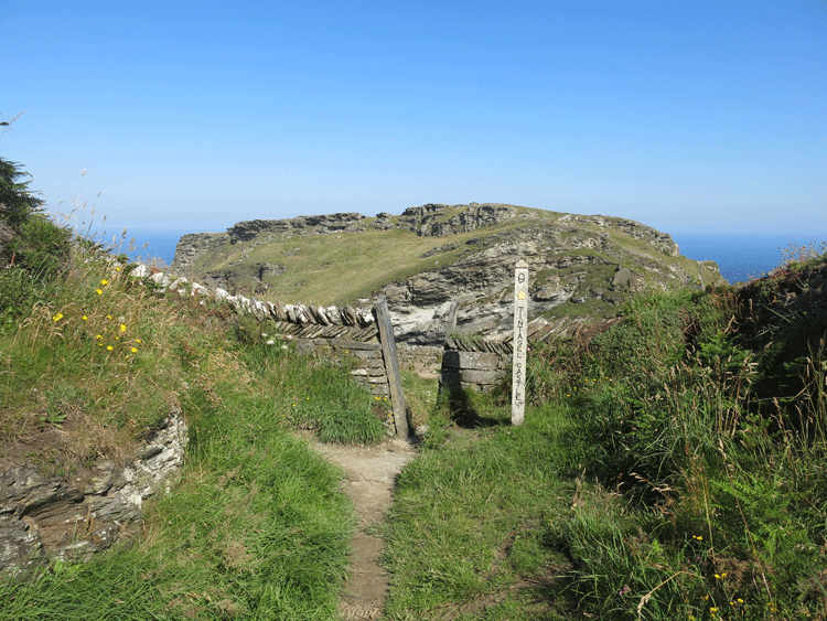
Fork in the path.... left is directly to Glebe Cliff, right is to Glebe Cliff via Tintagel Castle
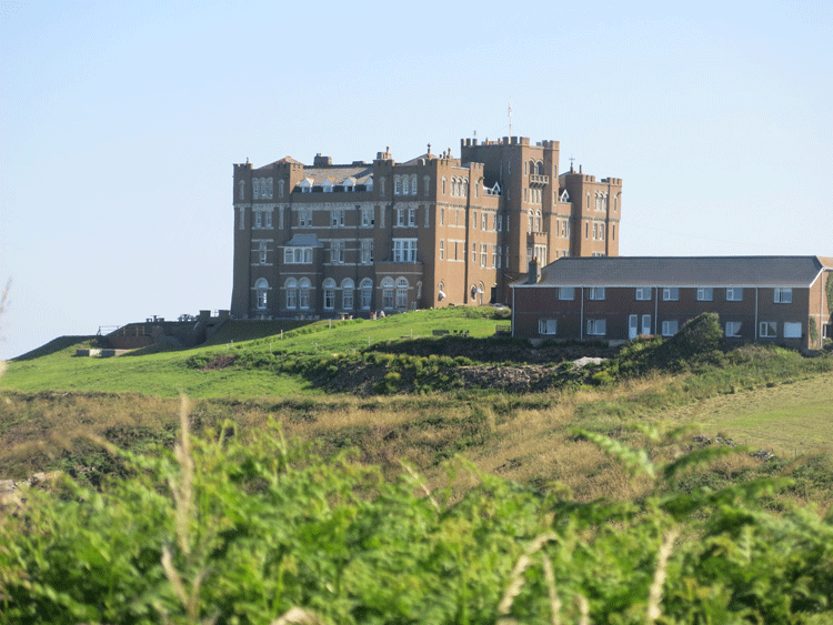
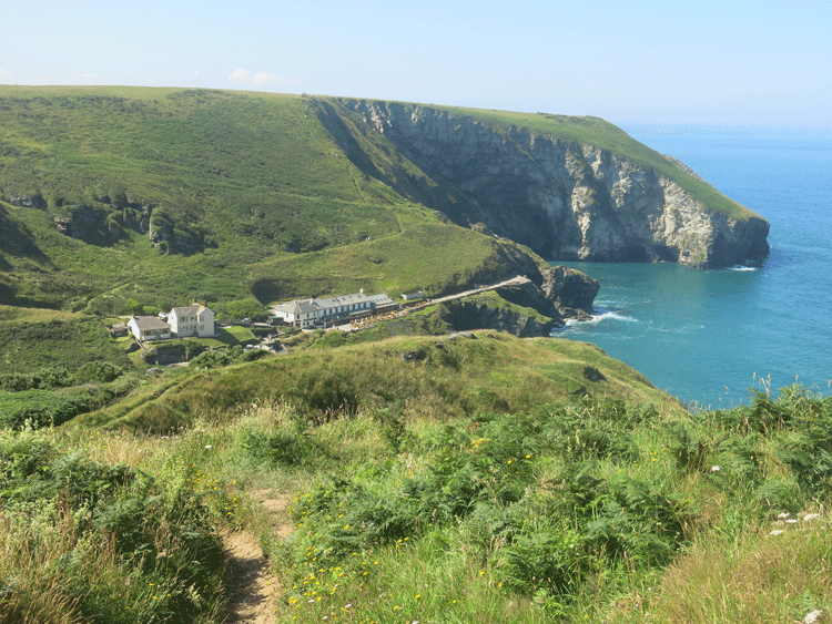
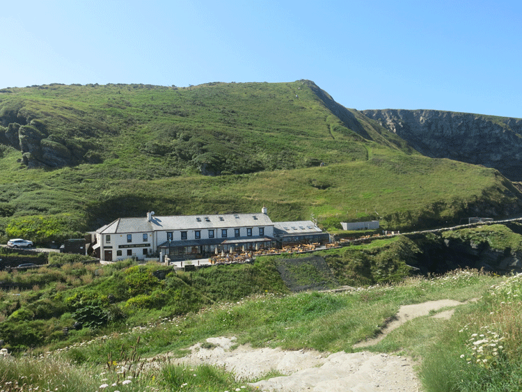
Camelot Castle Hotel, Tintagel
Approaching Tintagel Castle
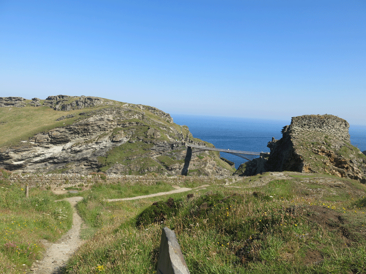
Tintagel Castle with the bridge leading from the headland
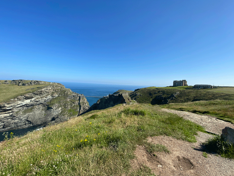
Tintagel Castle with the Camelot Castle Hotel in the distance
| |
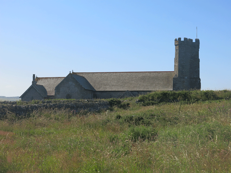
The church is dedicated to St. Materiana or Mertherian. She is recorded as Tintagel’s patroness by 1258 and is also the patron Saint of Minster, where she was reputed to be buried. Between c.1080 and 1200 Tintagel’s present church was built on an earlier burial ground used by Tintagel Castle’s Dark Age occupants. At first Tintagel church was simply a chancel and nave with a tiny north-east chapel added soon after – the Blessed Sacrament Chapel. There was also a Norman churchyard chapel or two (found in recent excavations). Transepts were added to Tintagel church in the late 13th or early 14th century giving it a cruciform shape. The Earls of Cornwall held Tintagel Castle at this time.
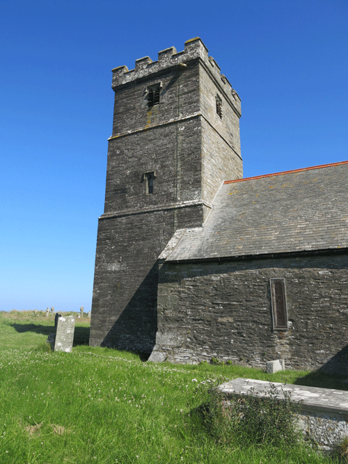
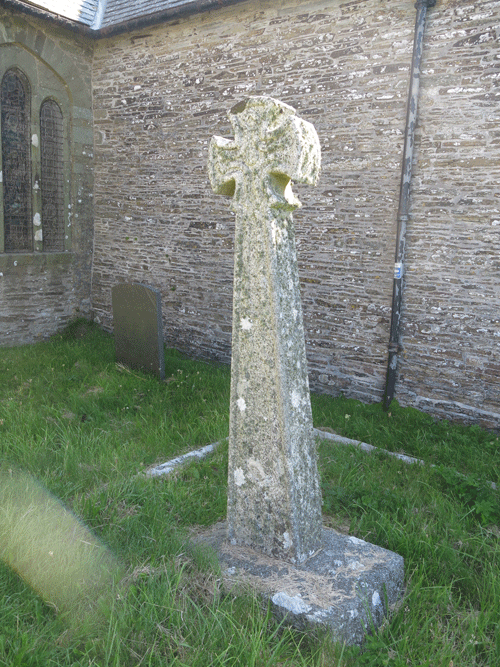
The north and south doorways are both Norman as are the nave windows, other windows are Early English, Decorated or Perpendicular in style or Victorian replacements. The hinges of the north door are reputedly original 12th century ironwork. The west window contains a brief history of Tintagel. The tower is at the west end and is variously dated to the 13th or 14th centuries or c.1400, but the belfry windows look 16th century. Its screen from 2007 is in memory of churchwardens who have served the parish. The Font is Norman and has serpents carved into the corners. Remains of an earlier Norman stone tub font that would have stood on the ground were found recycled in the foundations of the second-phase churchyard chapel. Another Norman font bowl brought from St. Julitta’s chapel in the Castle is in the north-east chapel with an early altar. There is a large 13th century memorial stone with a carved foliated cross and stone seats run round the south transept. There is also a three quarter length memorial brass of c.1430 to Johanna Kelly, the then vicar’s mother.
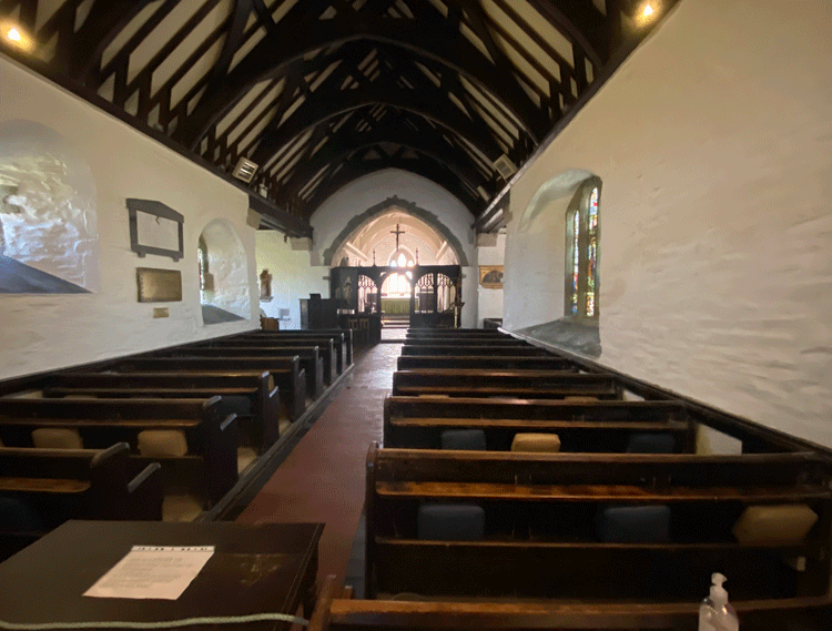
The Rood screen dates from the early 16th century but no evidence has been found that it was introduced in the 19th century. It lacks its canopy and is darkly stained and shows the sturdy construction required to support the medieval organ loft, organist and crucifix or rood. There are 14th century canopied recesses in the chancel. The reredos is constructed of carved 15th century bench ends some of which certainly came from St Teath. The Bishop’s chair is reputedly late Tudor and the priest’s reading chairs Victorian constructed of medieval carved wood. Look out for the Roman stone bearing the name of the emperor Licinius in the north transept and a life belt from the Italian barque “Iota” which was wrecked in Bossiney cove in 1893.
Courtesy of www.chct.info |
|
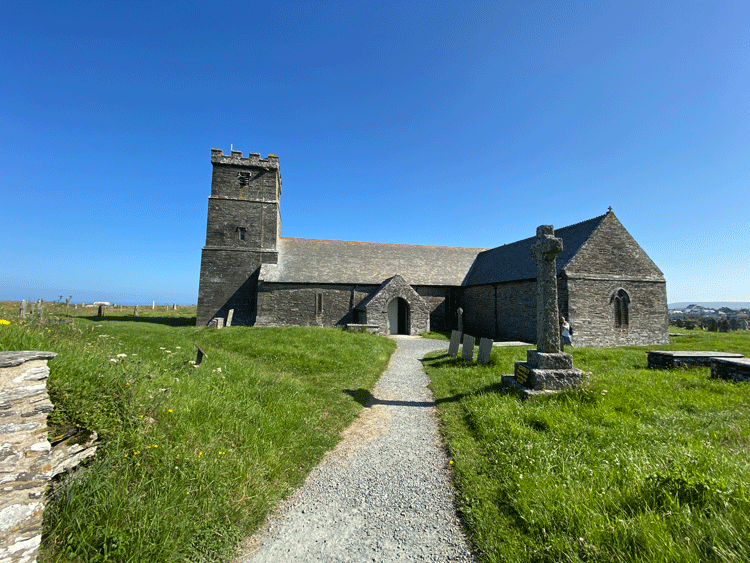
St Materiana Church
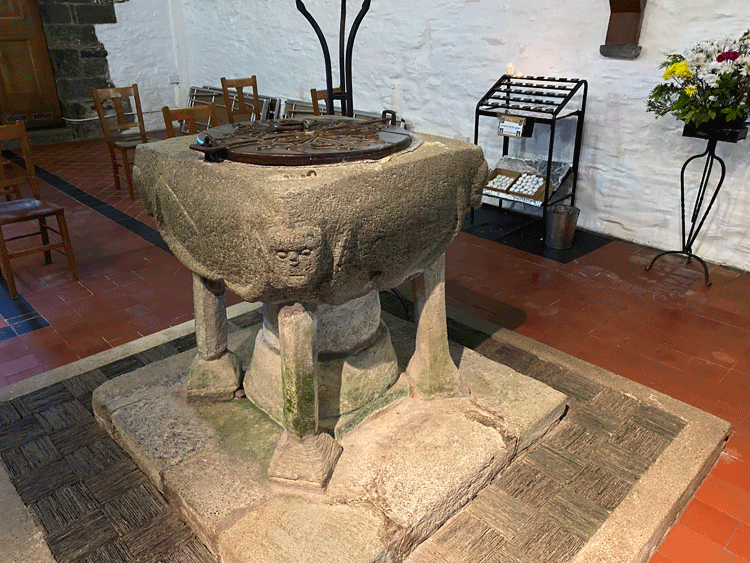
The Norman font with carved serpents at each corner

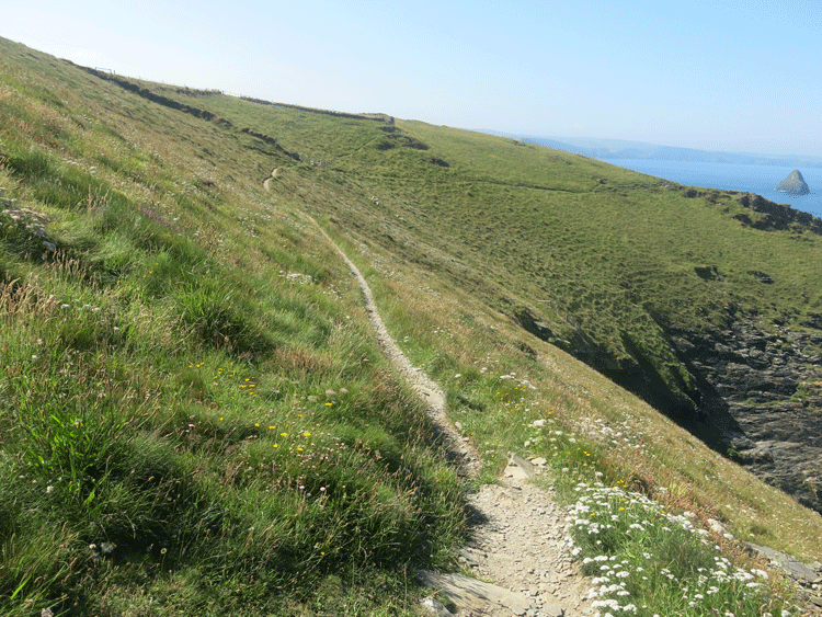
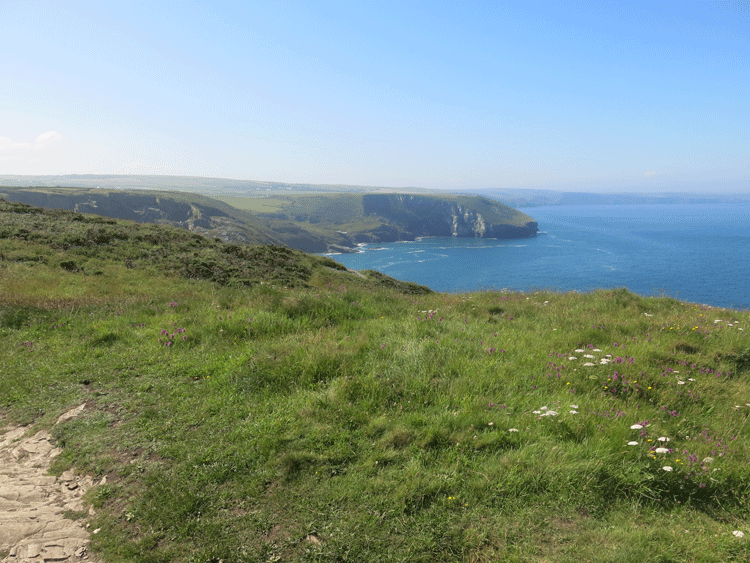
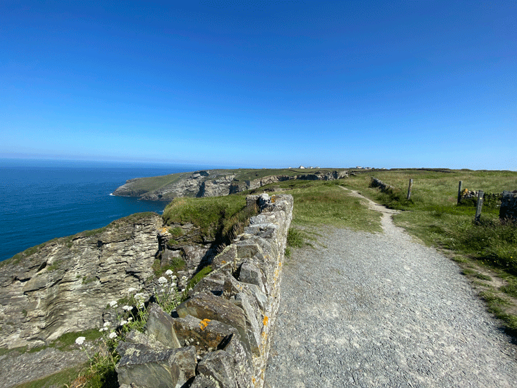
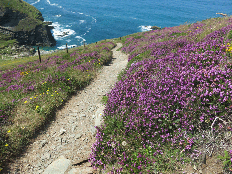
The section from the church to Trebarwith Strand is fairly flat,
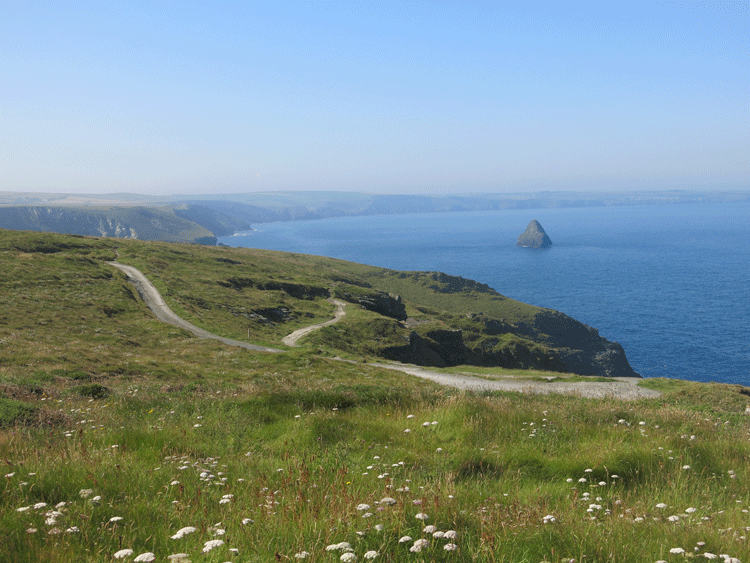
but be ready for the descent to the Strand! Gull Rock in the distance.
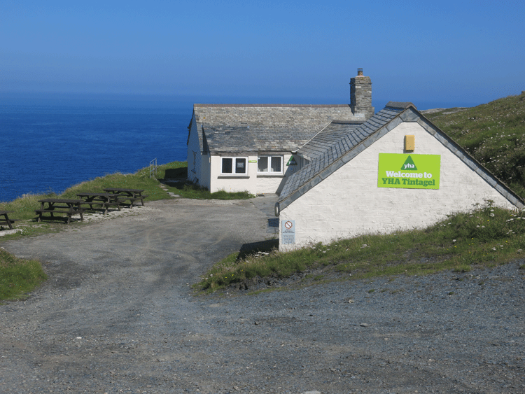
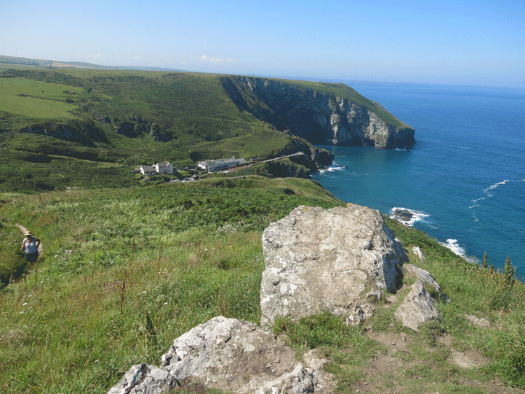
Tintagel YHA, right on top of the cliffs
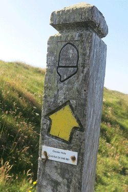
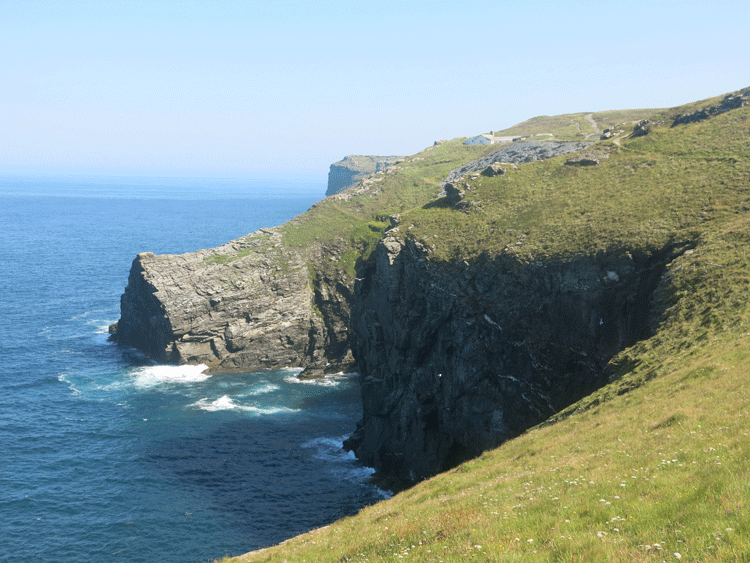
Dunder Hole
Dunderhole Point
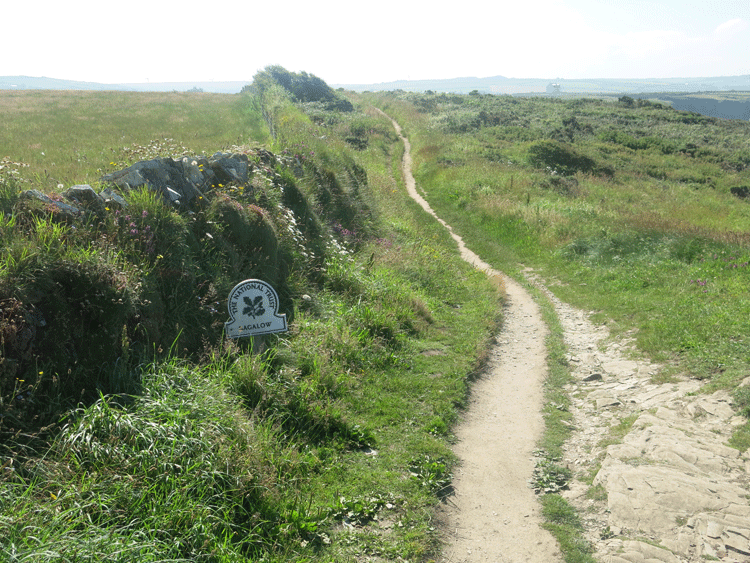
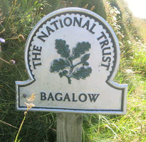
Bagalow
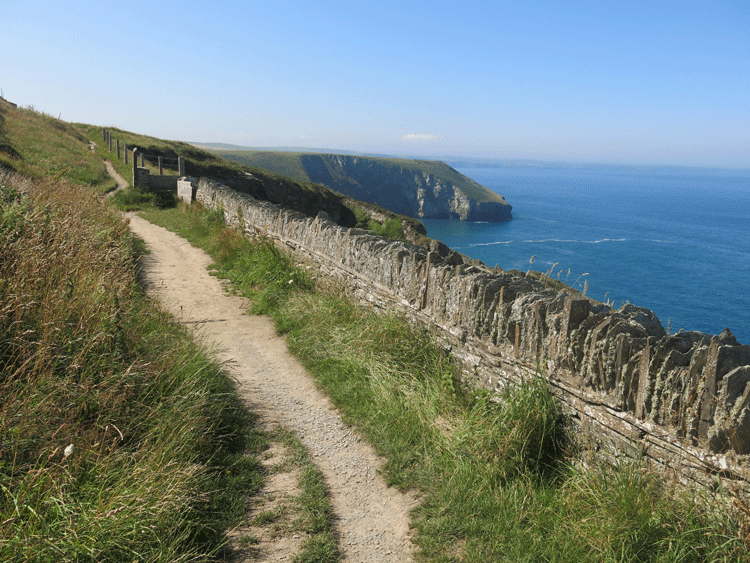
Stile from local Delabole slate
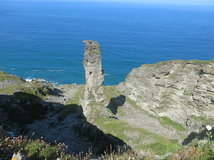
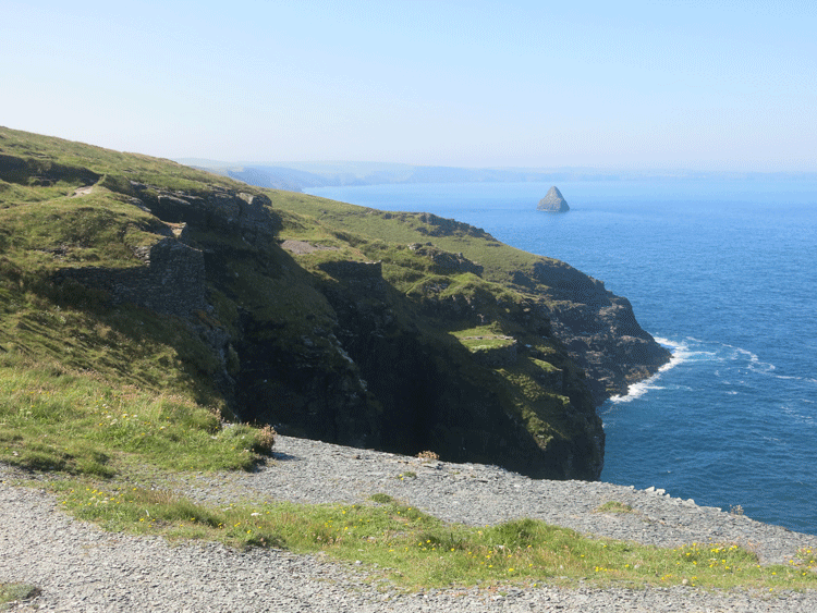
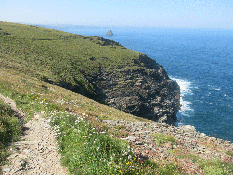
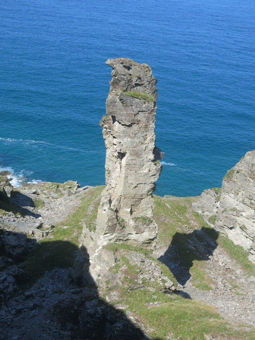
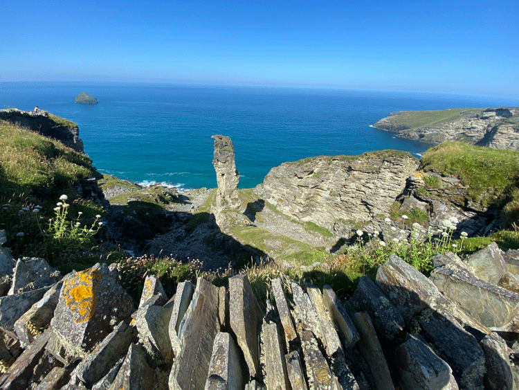
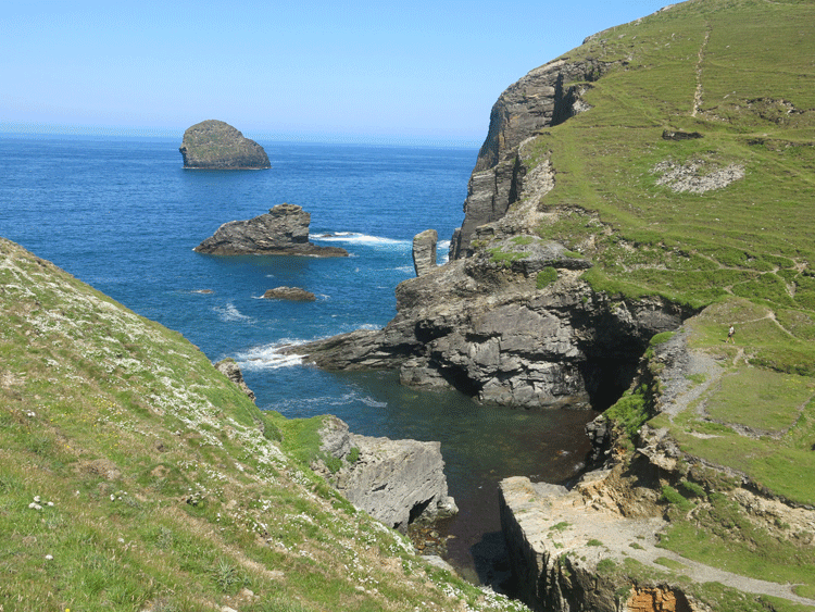
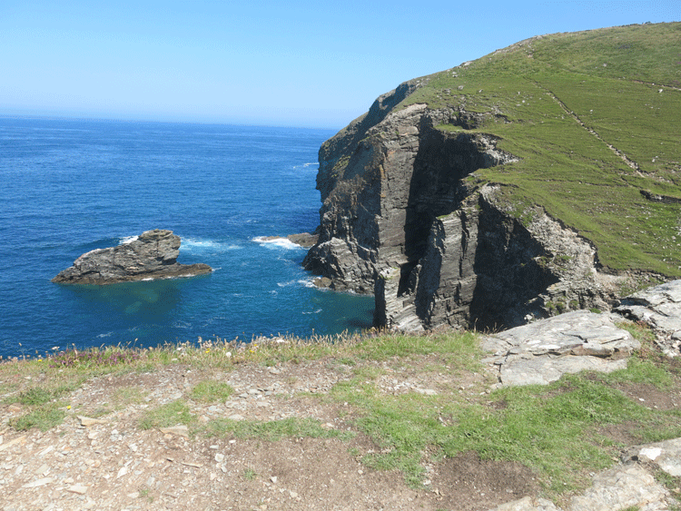
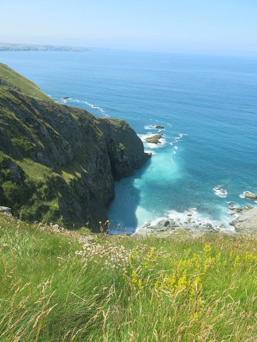
The Pinnacle of Lanterdan
| |
Lanterdan Quarry was once one of the largest quarries in north Cornwall, producing quality slate.
The remains of the quarry are impressive, located on the cliff above Vean Hole Beach, near Trebarwith Strand. Particularly notable is the tall pillar of rock. The quarrymen worked around this stone, not bothering to quarry it as it was not of good quality. With the good slate having been removed, this pinnacle was left standing like a sentinel on the cliff edge. These inferior quality pieces of slate were known, in the Cornish dialect as 'scullocks'.
The quarrymen worked the cliff face but never quarried the stone at the base of the cliff because of a geological fault here called the Trambley Cove Formation. This volcanic lava which was of no use to the quarrymen.
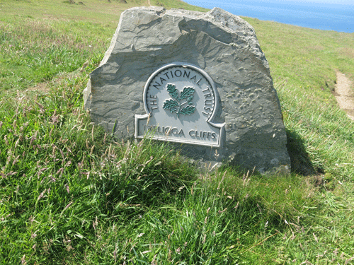
Today, Lanterdan Quarry is owned by the National Trust. Not only is it impressive because of its location but it is also a site of geological interest for two reasons. Firstly, it contains the fossils of brachiopods (shellfish). Secondly, monazite is found here - a rare mineral.
Research has shown that slate was being quarried in this area as early as 1305. Lanterdan Quarry was definitely in production by 1493, being leased by the Manor of Tintagel to Richard Cullow.
For several centuries, Lanterdan remained in operation until it finally closed just prior to the Second World War. |
|
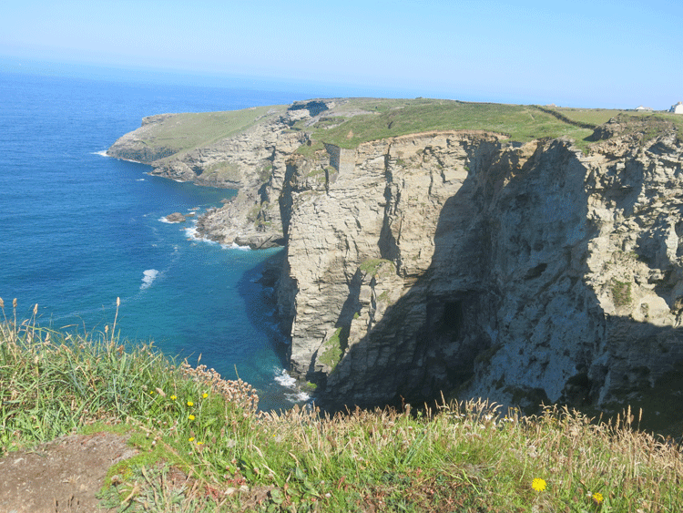
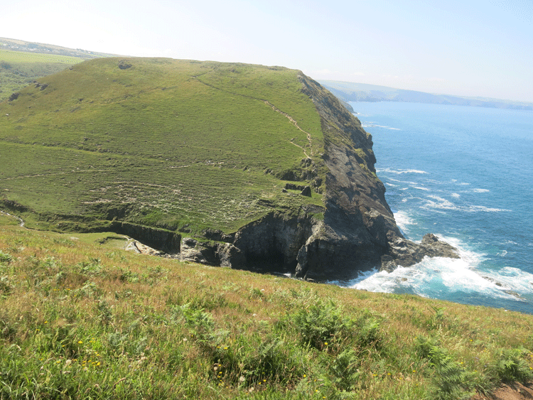
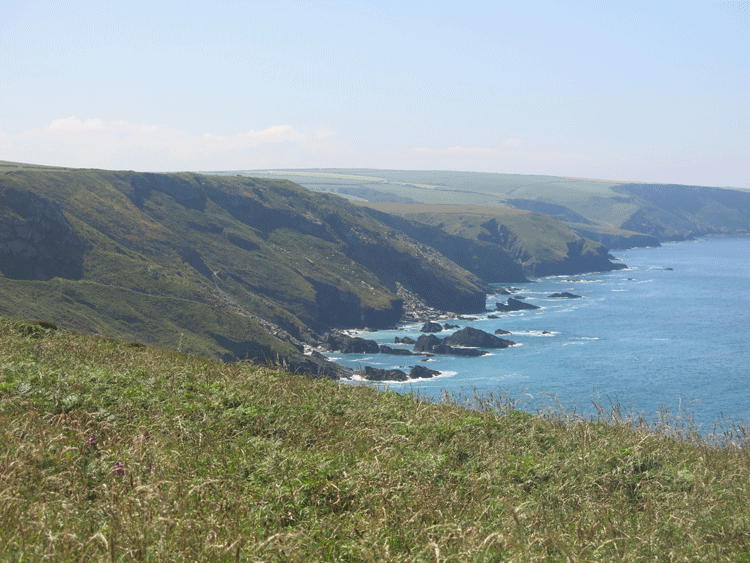
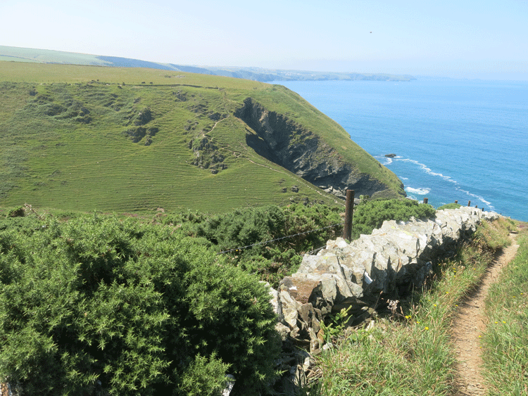
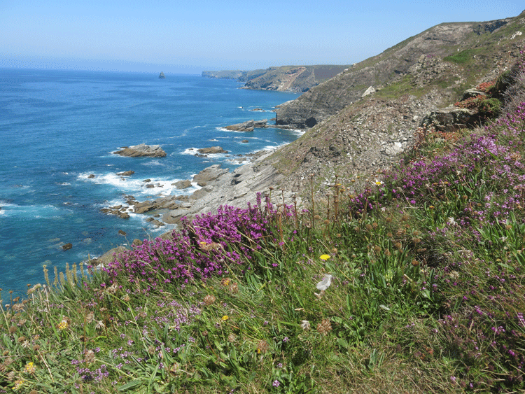
Looking back towards Tintagel
The descent to Trebarwith Strand, with Dennis Point just beyond.
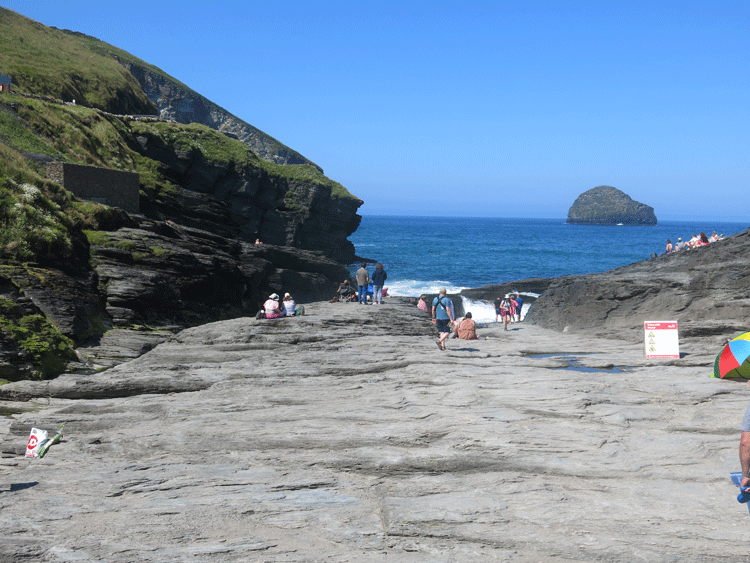
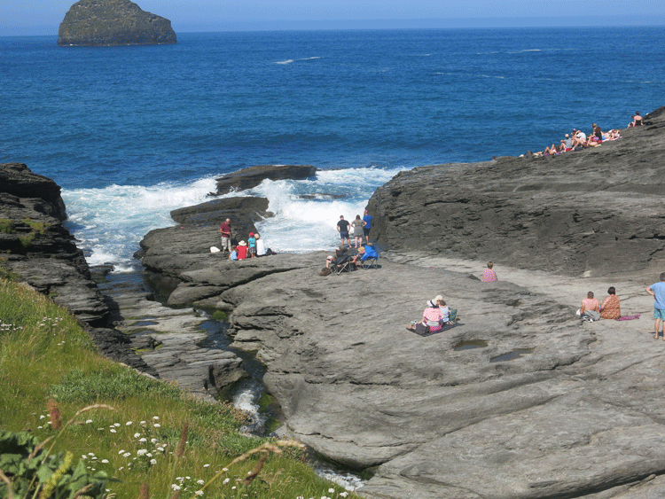
Trebarwith Strand. The beach is completely hidden at high tide.
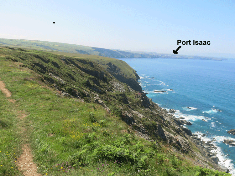
5.5 miles (8.8 Km) from Trebarwith Strand to Port Isaac
The climb out of Trebarwith Strand
Almost as soon as you have completed the climb out of Trebarwith Strand you are faced
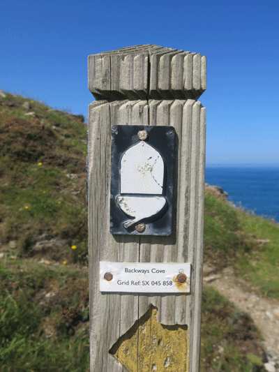
with another big descent to Backways Cove and a climb out the other side.
Descending to Backways Cove
Backways Cove
This makes a change..... a nice flat bit!
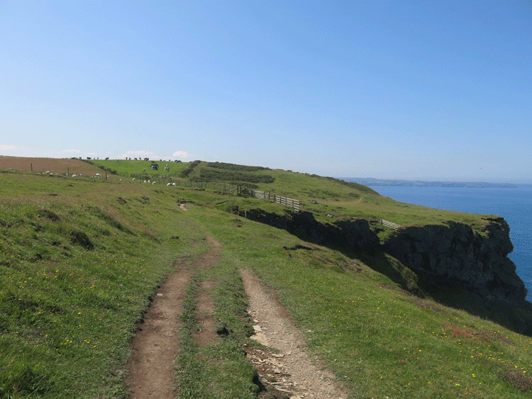
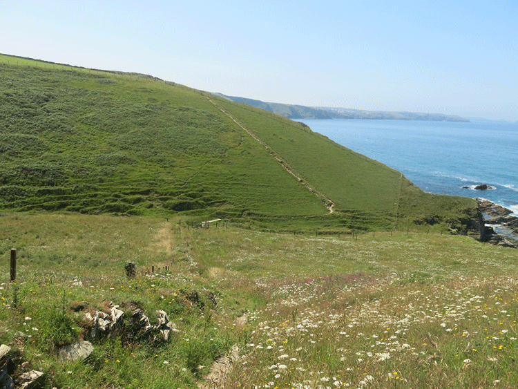
Treligga Cliffs
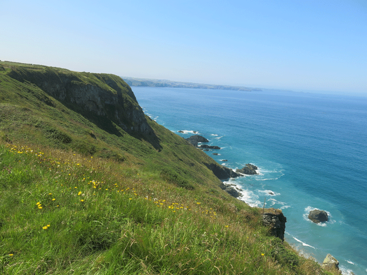
Another huge descent and a climb back up to Tregardock Beach
Looking back along the cliffs
It was 1-30 p.m. as I started this descent, the allotted time when I said that I would meet Sue in the Port Gaverne Hotel! Yet I still had three miles to do. The climbs were brutal, and at this point the guide book stated "First of four deep valleys signalling the start of some punishing ascents and descents". It was really hot, with the heat coming up from the granite rocks; I was getting low on water and I did not want to keep Sue waiting too long. Hence I decided to avoid the descents/ascents and head for the road at China Down. From there I would have an easy walk to Por4 Gaverne along the road, but as luck would have it a kind lady stopped in her car and said she was heading to Porth Gaverne, and would I like a lift!".
It was now after 3 p.m., the hottest part of the day, and the prospect of a lift for the last 2 miles was a God sent intervention. Perhaps it was my reward for all the "Indulgences" I have earned on the Camino walks! I was soon sitting in the Port Gaverne Hotel with a pint of iced water, and a pint of lager for back up |
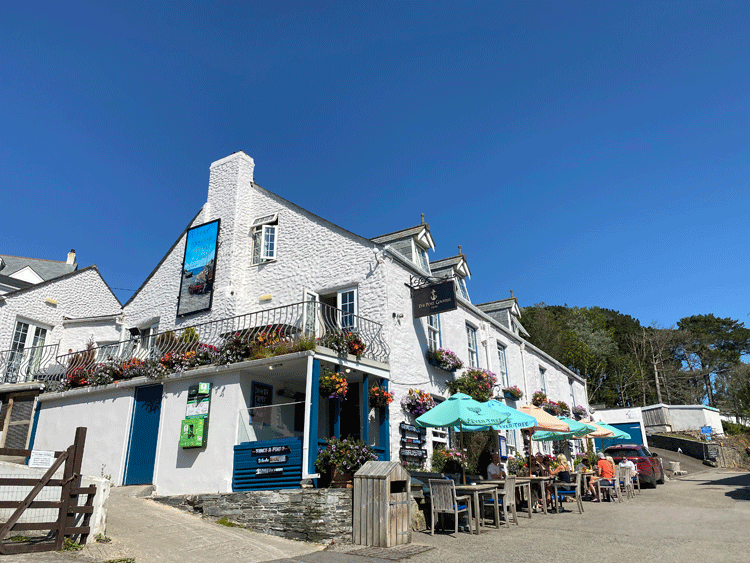
Port Gaverne Hotel
|
