St. Michael's Way - 26th March 2015

St. Michael's Way is a 12 mile route between Lelant, near St. Ives, and St. Michael's Mount at Marazion. It was part of a network of pilgrim routes that led to Santiago de Compostela in northern Spain, one of the three most important Christian pilgrim sites, and as such it has been designated a "European Cultural Route". The route was used by missionaries and pilgrims arriving from Wales and Ireland who chose to avoid the treacherous waters around Land's End by walking across the peninsular from Lelant to Marazion. The trail was largely forgotten until 1987 when the Council of Europe decided to promote the pilgrim route to Santiago as a European Cultural symbol, and the trail was officially opened in 2004.
The walk starts at the Church of St. Uny in Lelant, on a sandy headland overlooking Lelant harbour and Hayle. The church is thought to date back to the arrival of St. Uny in the 6th century. The walk follows the coast to Carbis Bay, where it turns inland to Steeple Hill and the Knill monument. John Knill was the collector of customs in St. Ives and died in 1782, and he built the monument as a mausoleum for himself. It consists of a 50 foot high pointed obelisk with a burial chamber below, but the burial chamber was never used as it was not built on consecrated ground. The path heads off inland towards Trencom Hill, passing Bowl Rock, a huge piece of granite said to have been put in place by a giant. Trencom Hill stands alone at 550 feet elevation, and is thought to have been a Neolithic fort, yet unexcavated. Neolithic axe heads found on the lower slopes of the hill date back to 3500 BC.
The path continues to Ninnes Bridge, where it passes through the front garden of a former Wesleyan Chapel dating from 1783. It is significant for its association with John Wesley's landmark visit to Cornwall. An early cross and a line of standing stones seem to mark the site as a religious centre from a much earlier time.
The final section takes you to Ludgvan from where there is a choice of two authentic medieval routes to Marazion. The first crosses the swampy marshes of Marazion, now managed by the RSBP as an important habitat for birds. The second goes along the country lanes to Gulval. In medieval times the Gulval route was used as an alternative path when wet ground and tides make the Marazion marshes unpassable. |
Distance |
Time |
Elevation in meters |
Km |
Elapsed
Hrs-Mins |
Moving
Hrs-Mins |
Gain |
Loss |
Min |
Max |
16.56 |
4H30 |
3H49 |
349.4 |
373.3 |
1.6 |
162 |
|
|
|
|
|
|
|


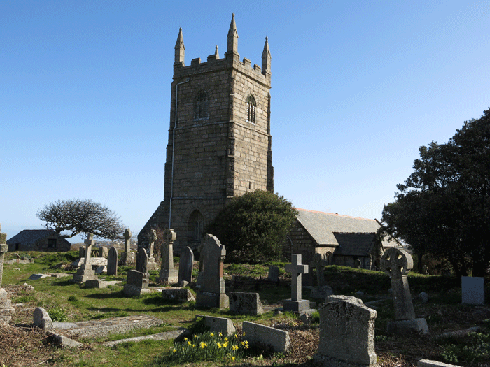
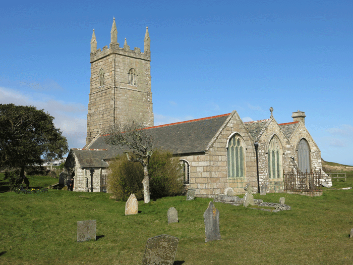
Church of St. Uny, Lelant

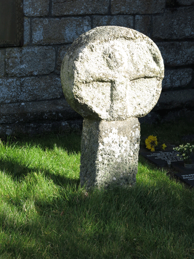
Ancient granite cross


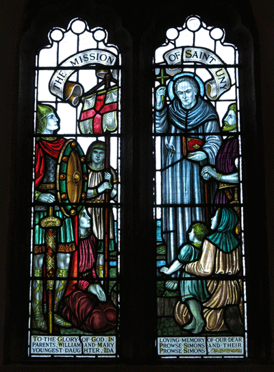
The Mission of St. Uny


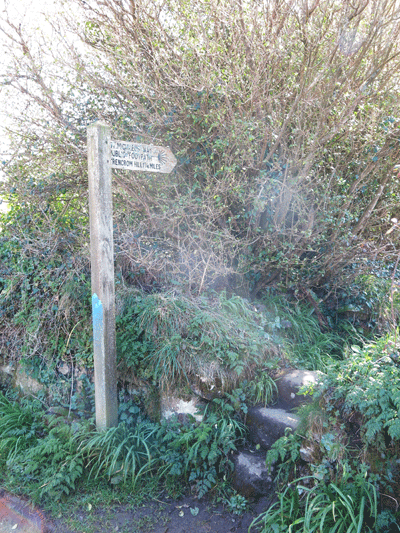
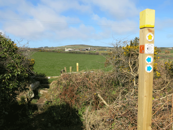
Yellow arrow for footpaths, blue for bridle ways and red for byways.


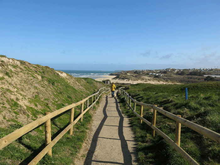
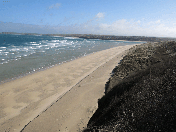
Approaching Carbis Bay

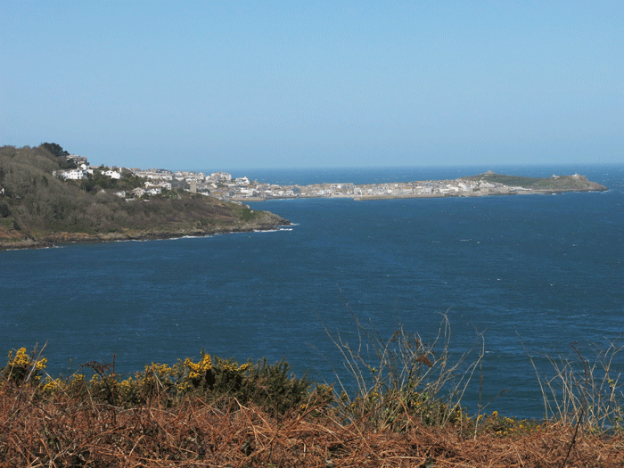
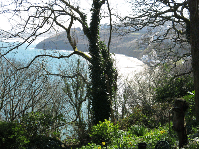
Looking across to St. Ives

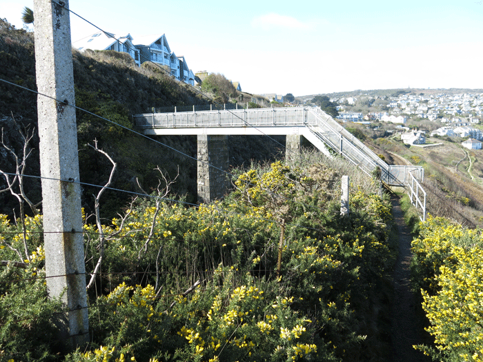
Crossing the railway bridge near Carbis Bay Station

The path crosses over the railway again by the Station, and drops down to Carbis Bay

You re-cross the railway and begin the climb up to Knill's Monument


Looking back down to Carbis Bay

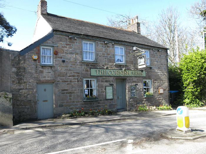
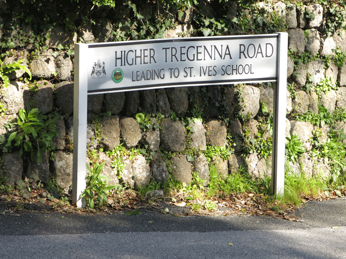
On reaching the main road you turn right, past The Cornish Arms, until you reach a road going to the left called "Higher Tregenna Road". On entering Higher Tregenna Road you will notice a narrow road going immediately off to the left called Steeple Lane.
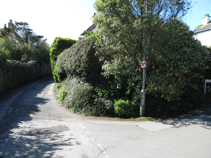
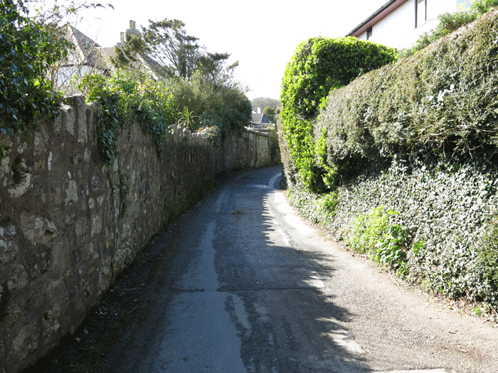


Steeple Lane

Steeple Lane eventually changes to Steeple Close, and at this point you have to take the narrow lane to the left


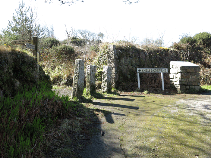
Eventually you come to the entrance to Knill's Monument

At this point the signpost tells you that you have covered 3.5 miles from Lelant and have 8.5 miles to go to Marazion

Knill's Monument

Looking back to Knill's Monument


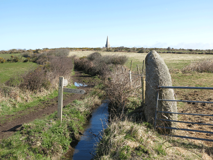
Trencom Hill 11/4 miles
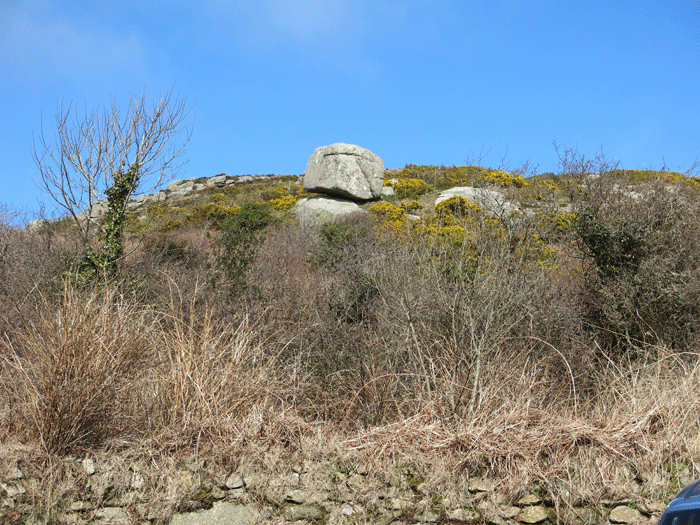


Bowl Rock


Close to Trencom Hill

Half way.... time for a sandwich


Trencom Hill


Marker telling you to take the road to the left

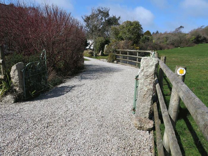
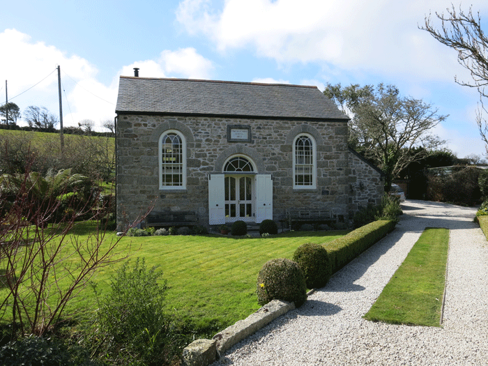
Approaching the Wesley Chapel, now a private house. There is a right of way around the edge of the garden.

The Wesley Chapel

Right of way along the edge of the garden by the standing stones

Looking back to Trencom Hill

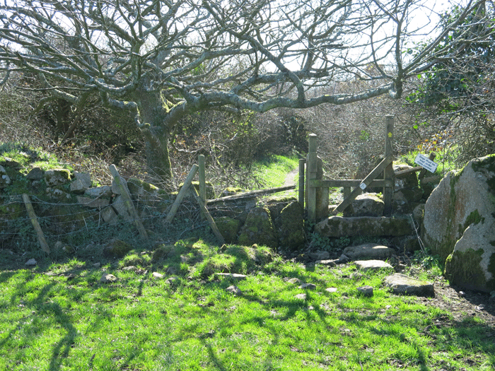
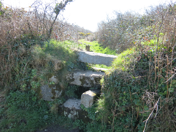
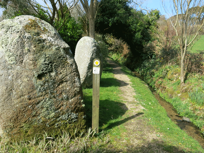
Good signage and signs of upkeep on the pathway

Heading towards Ashtown Farm

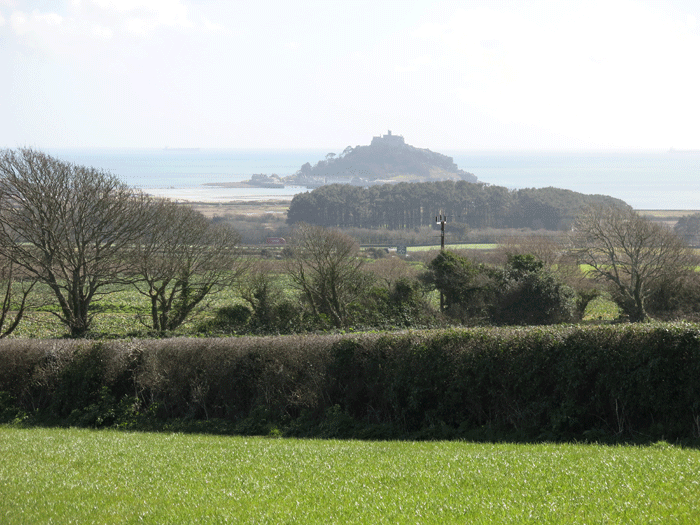
First sight of St. Michael's Mount in the distance shortly after Ashtown Farm


Looking back up the gorse covered hill

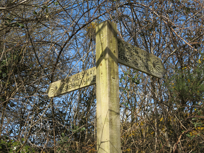
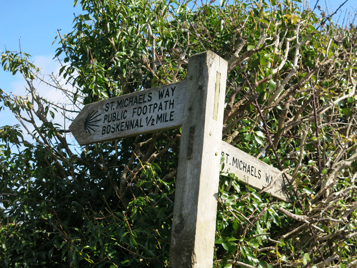
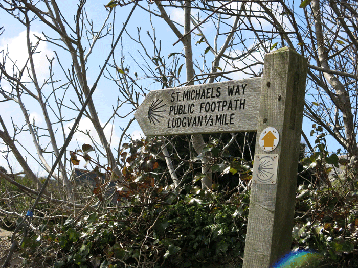
Boskennal only 1/3 of a mile

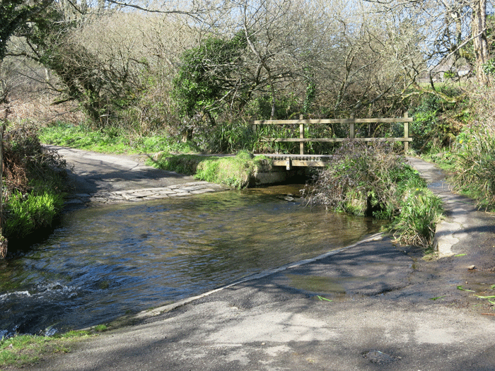
After crossing this bridge the path rises gently until it reaches a road; there is no signpost at this road
but you have to turn almost 180 degrees and go back on yourself


Getting closer to St. Michael's Mount


Ludgvan Church. The path emerges onto the main road between the church and the telephone box. There is a bench conveniently positioned where you can sit and consult a map. If you are going by the Marazion Marsh route you want the road to the right of this picture i.e. turn left as you emerge onto the road by the church.


Right turn off Church Road


|