| About | Home | Recent Activities |
|
Hiking Statistics
|
||
|
Narrowboating |
River Cruises |
Travel |
| Cornwall | Morganeering | Copyright |
Wednesday 30th August 2023
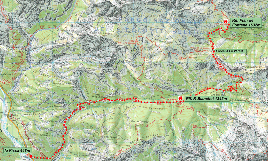
Base map courtesy of Tabacco maps
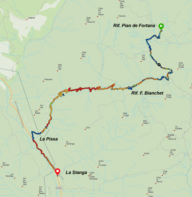
Map courtesy of Garmin
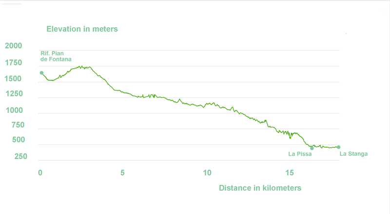
Elevation diagram courtesy of Garmin
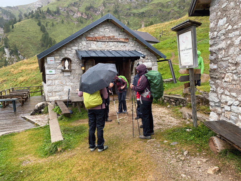
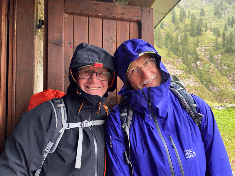
Last day..... ready for off......raining
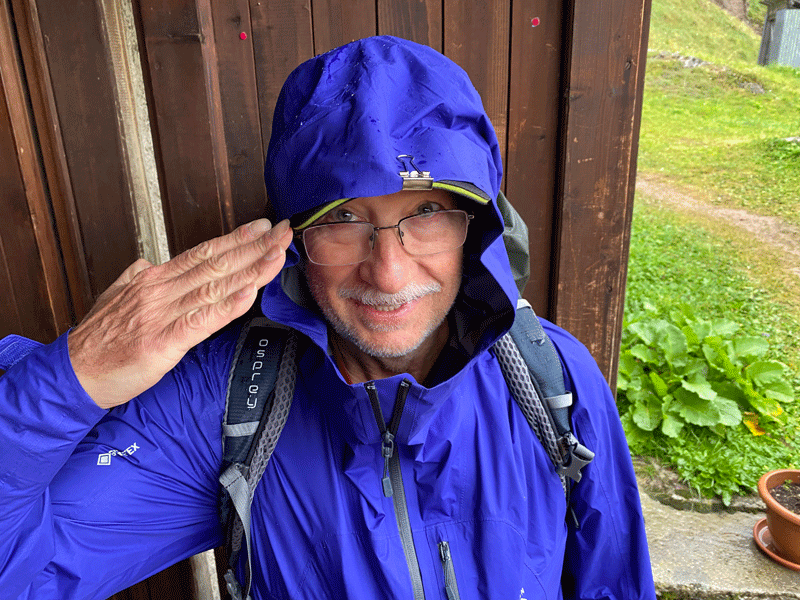
Ken joins the elite "Cap-Clip" club
"Clipped" and reporting for duty!
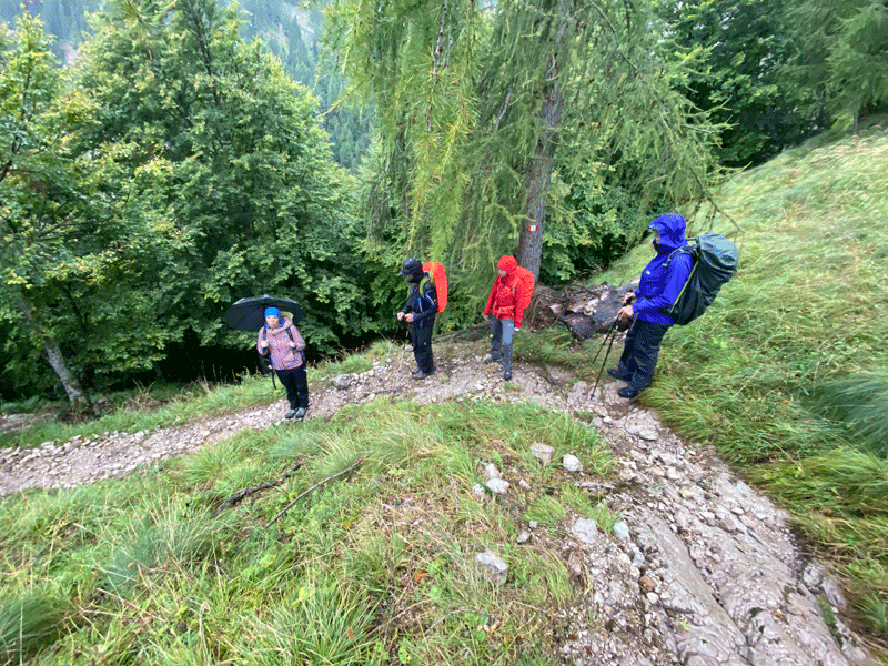
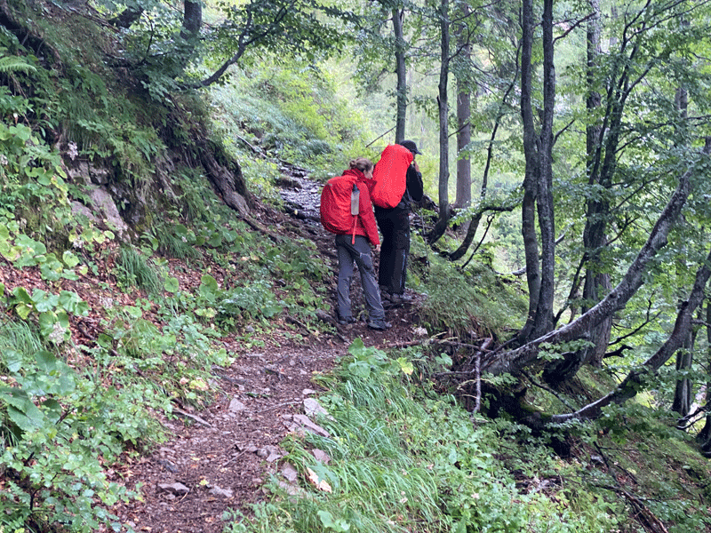
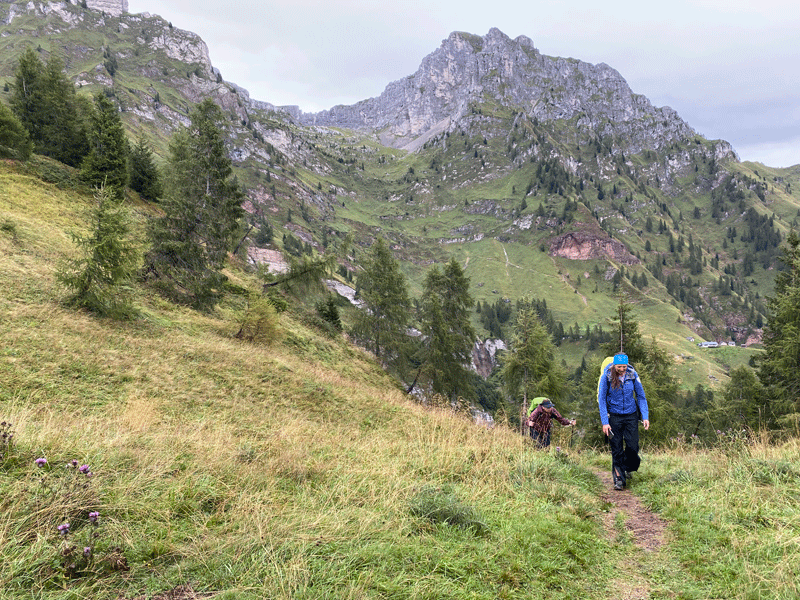
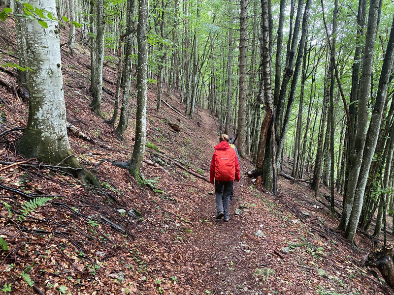
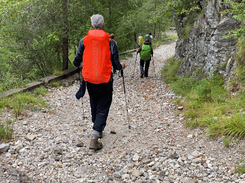
Off we go
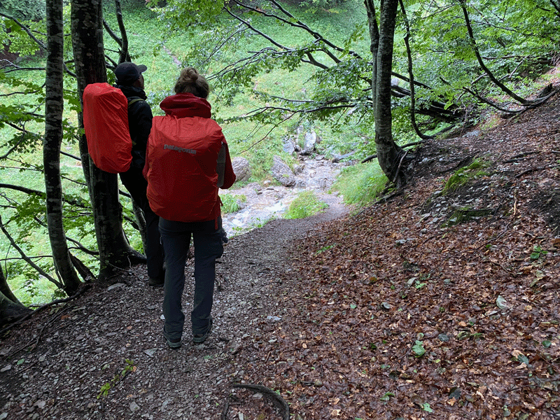
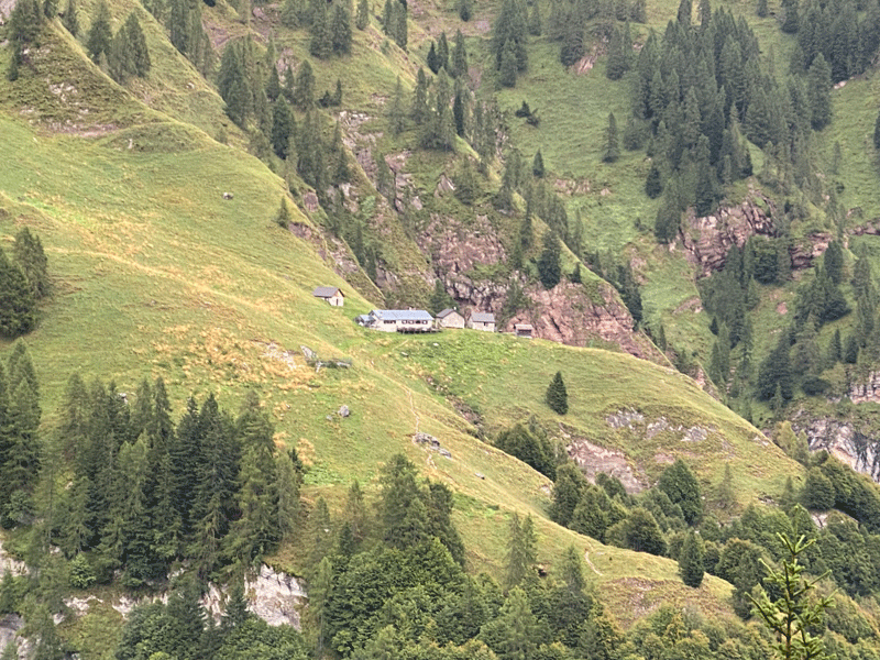
Looking back to Rifugio Pian de Fontana. We had 250m of climbing to do before
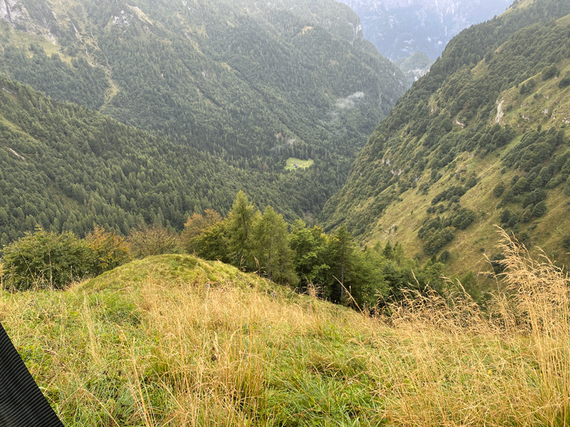
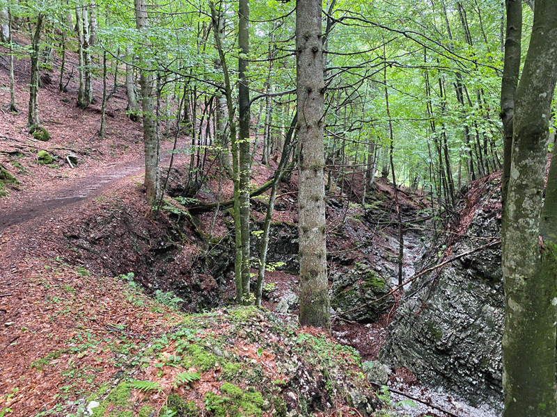
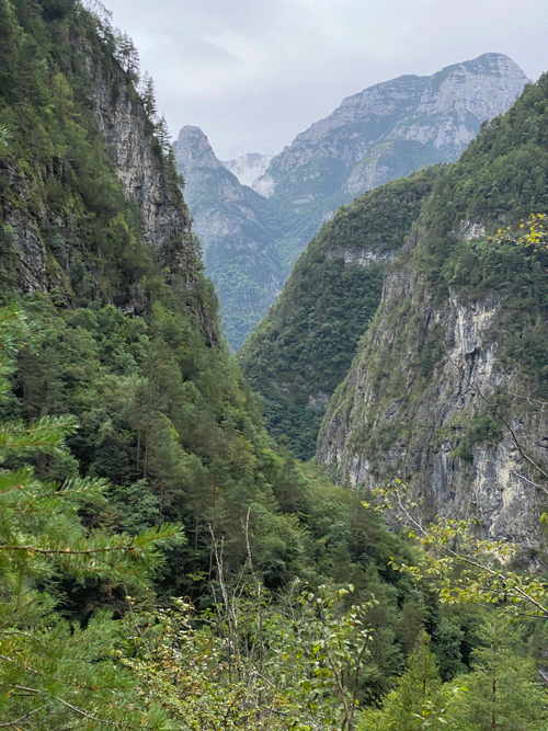
This gives a good impression of the bowl behind Rifugio Pian de Fontana which is
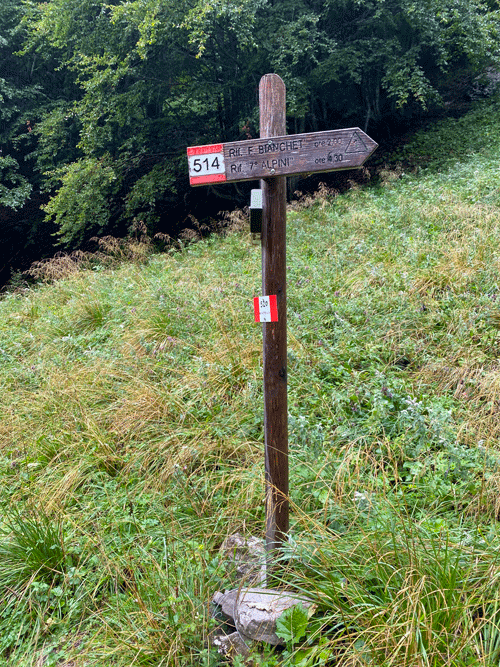
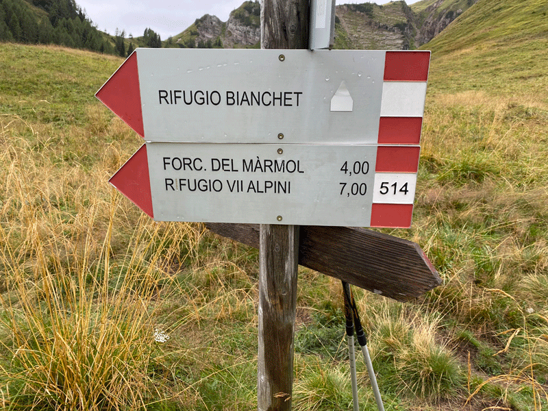
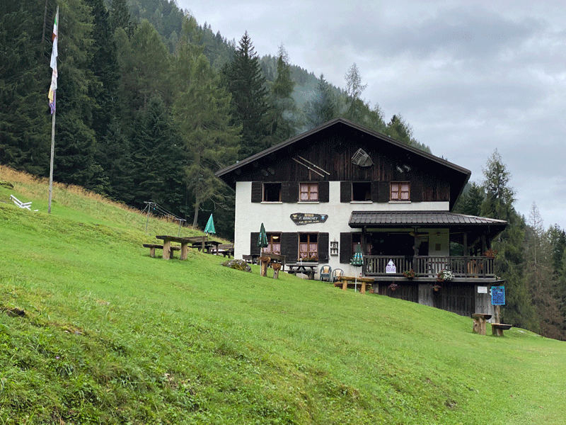
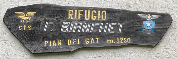
Rif F. Bianchet
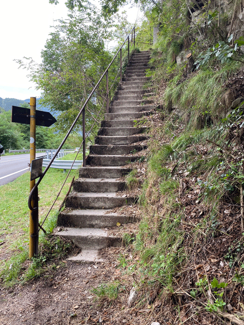
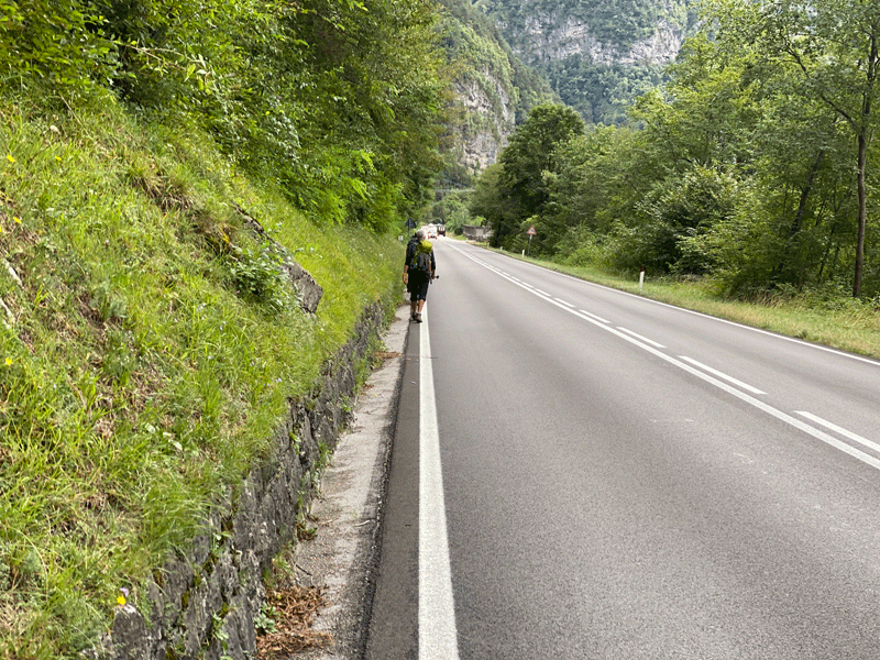
The steps to the road at La Pissa 16.24km in 6H30
Walk from La Pissa to La Stanga
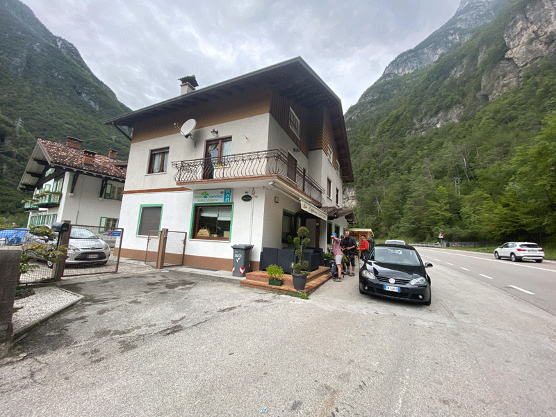
The bar at La Stanga
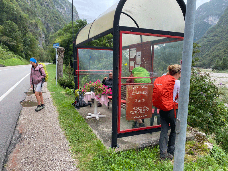
The bus stop at La Stanga
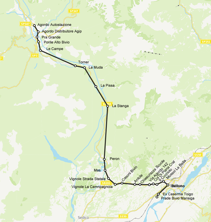
Bus Route - Agordo to Belluno
|
|||||||||||||||||||||||||||||||||