| About | Home | Recent Activities |
|
Hiking Statistics
|
||
|
Narrowboating |
River Cruises |
Travel |
| Cornwall | Morganeering | Copyright |
Tuesday 22nd August 2023
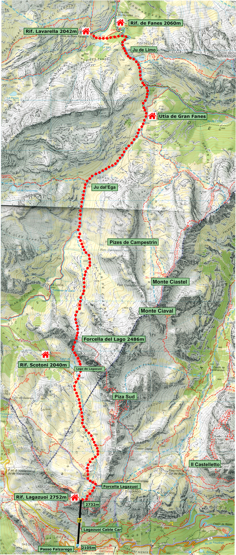
Base map courtesy of Tobacco maps
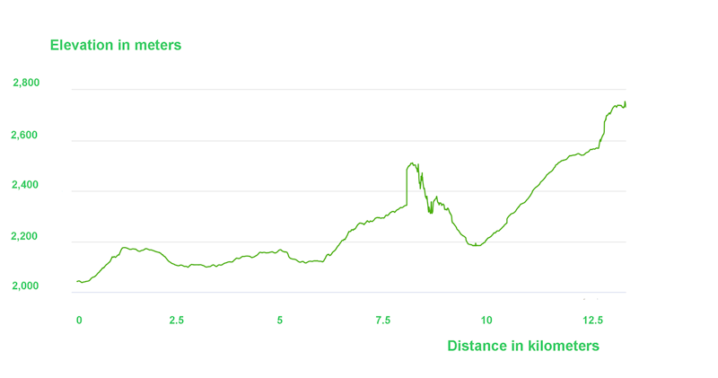
Elevation diagram courtesy of Garmin
Another sunny day!
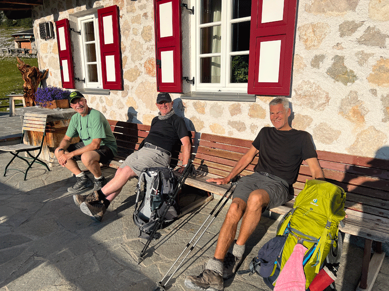
Enjoying the sun before we set off
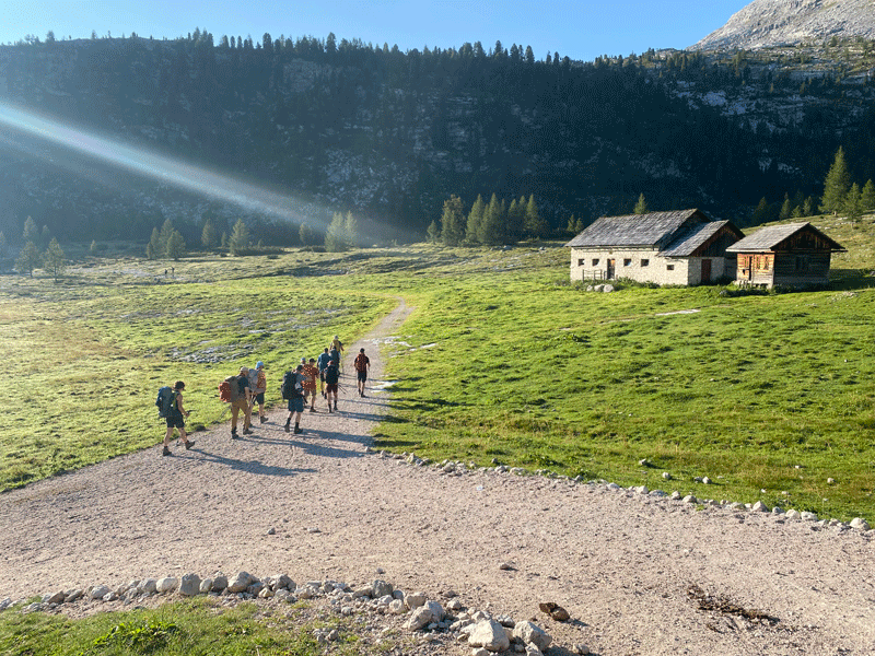
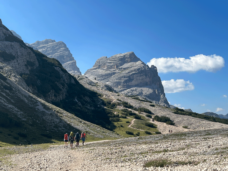
People leaving early
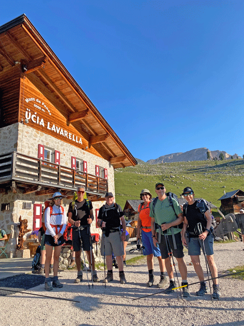
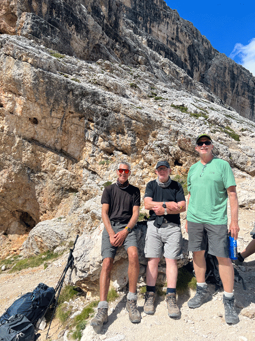
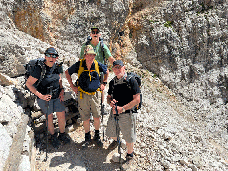
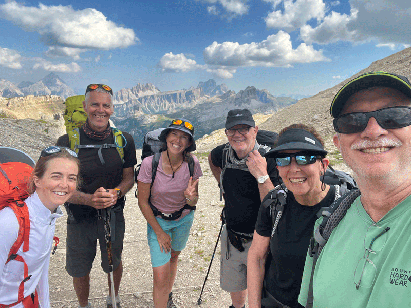
L to R: Dinah, Sandor, Mick, Kerri, Ken and Maura
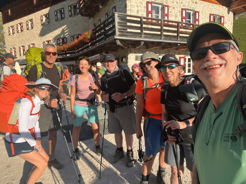
And the selfie.... L to R: Dinah, Sandor, Anna, Mick, Kerri, Maura and Ken
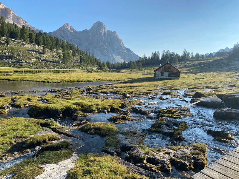
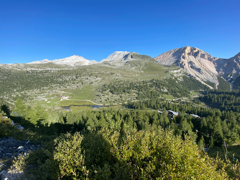
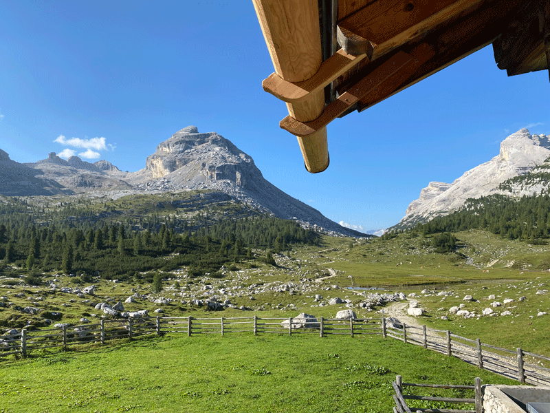
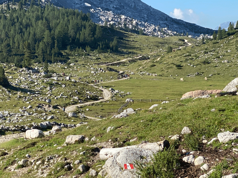
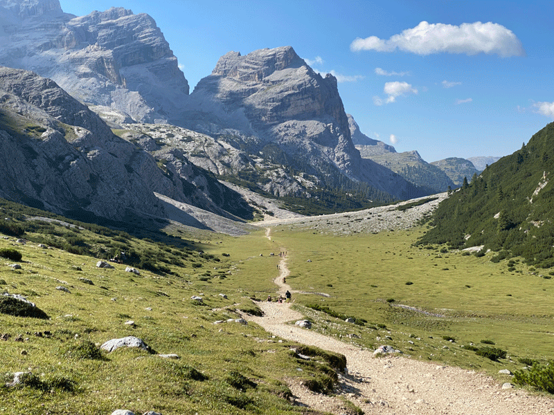
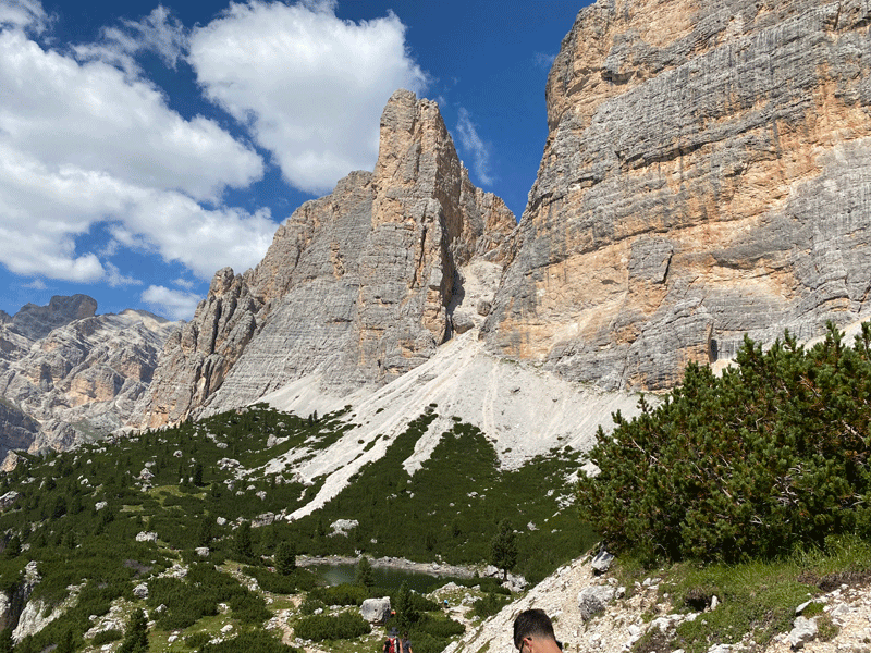
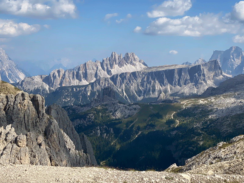
Looking back towards Lavarella. This basin is sometimes called "The Parliament"
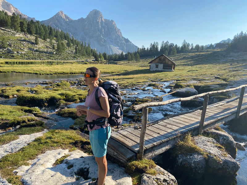
Looking back
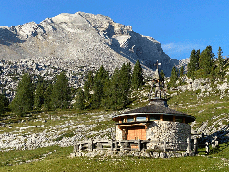
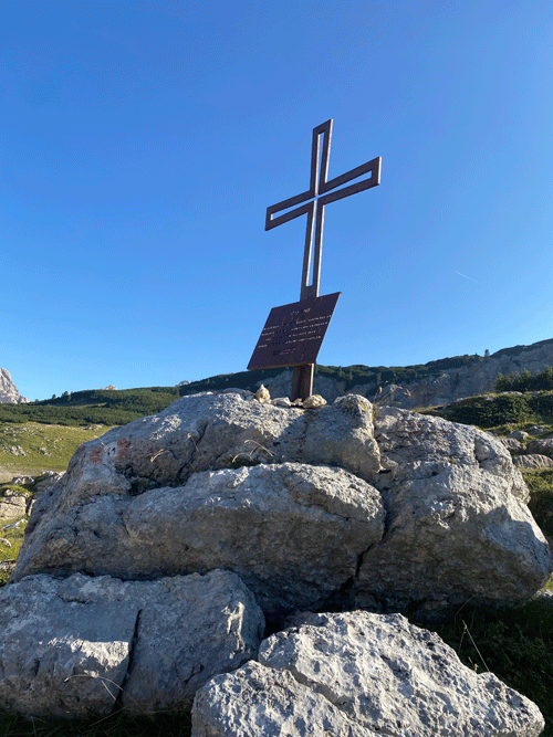
1915-1918 memorial
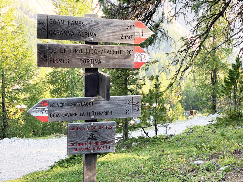
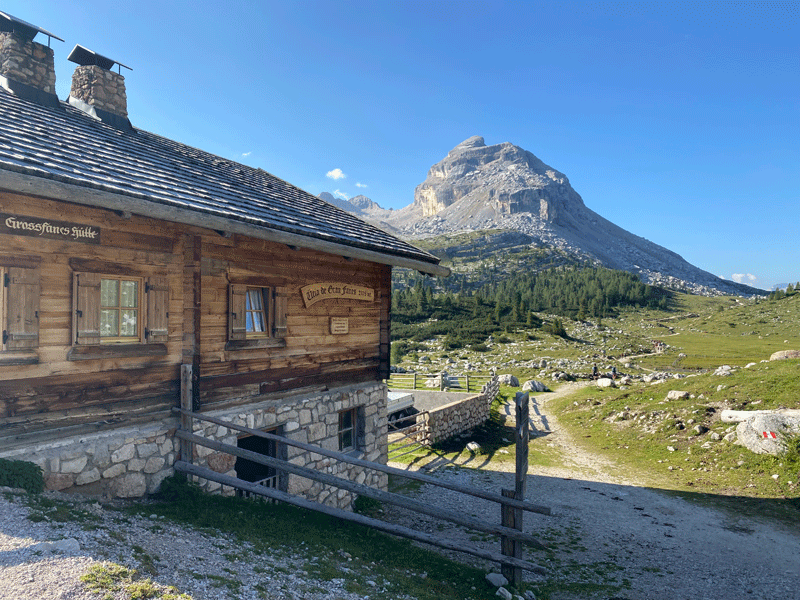
Approaching Ucia de Gran Fanes 2,105m
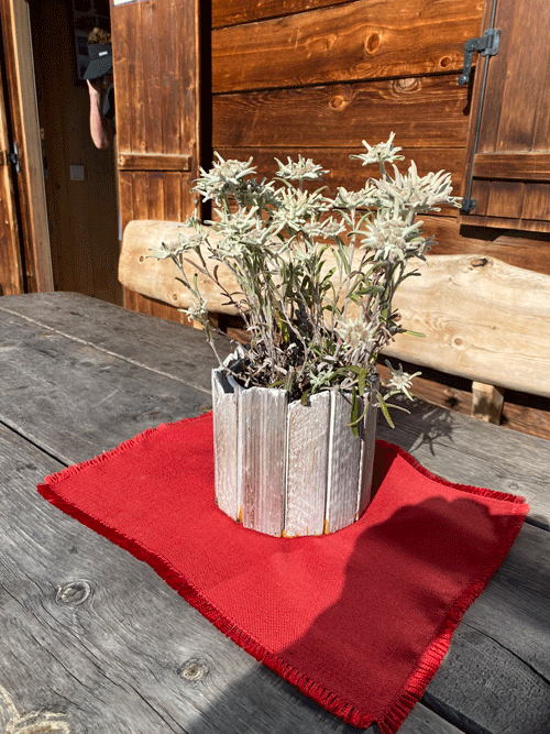
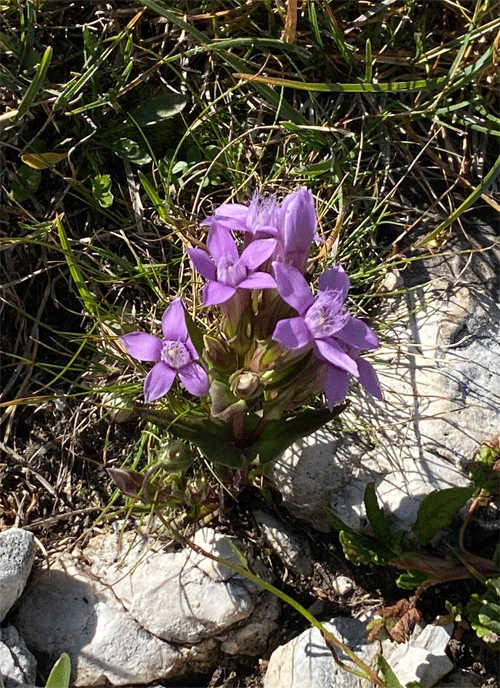
Domestic Edelweiss
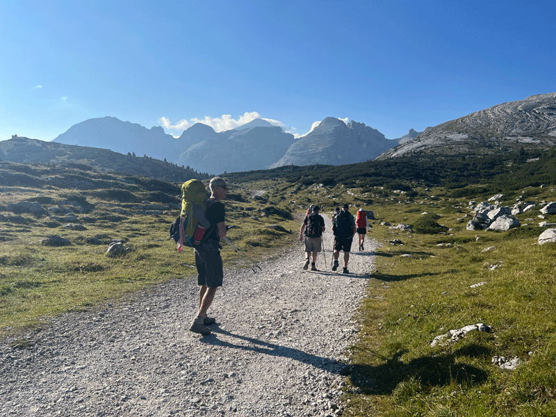
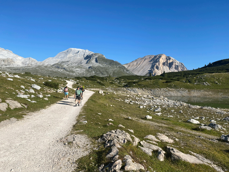
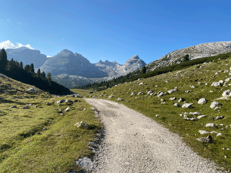
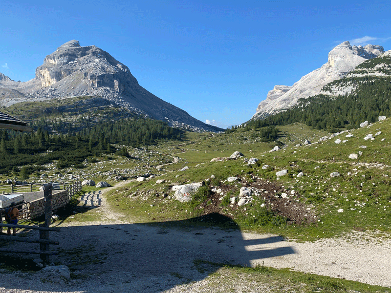
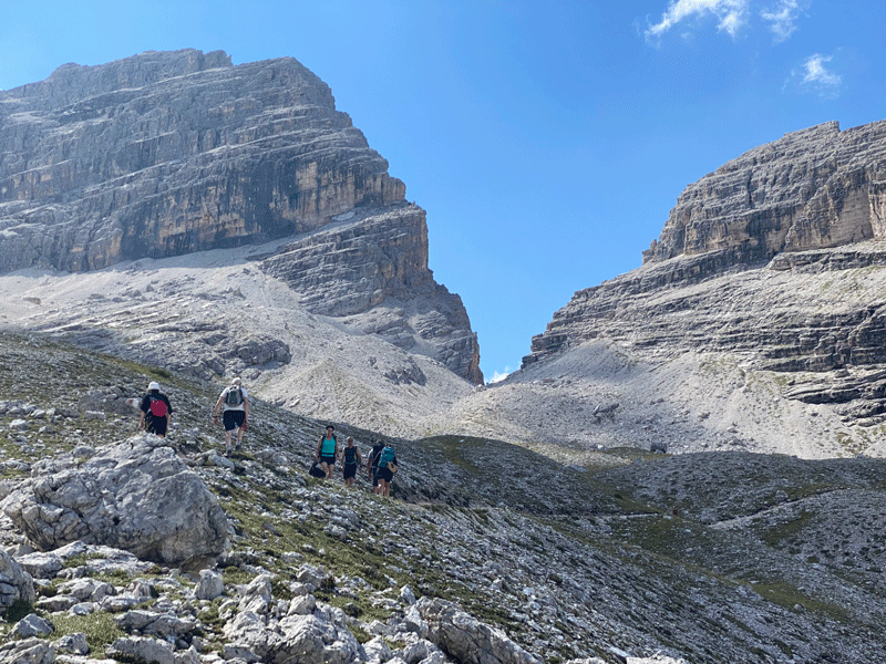
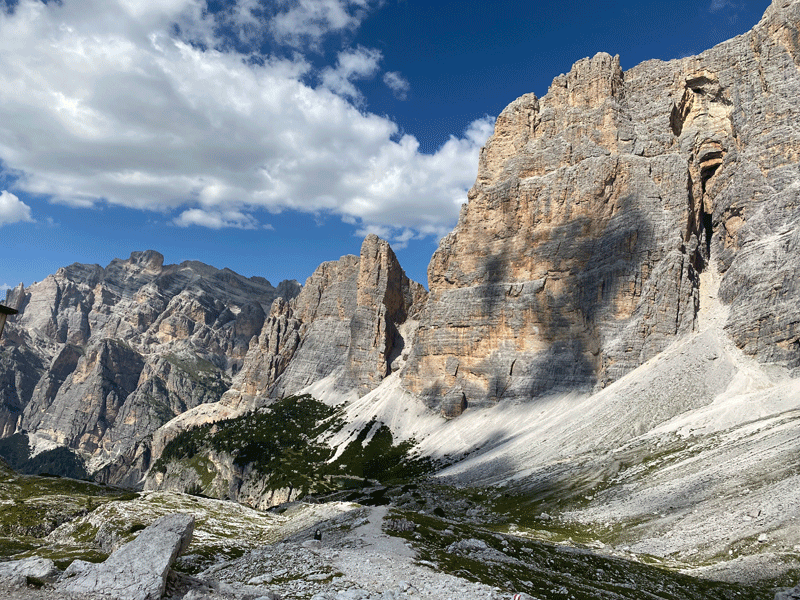
The trail ahead
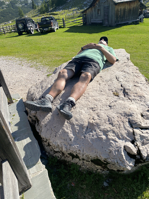
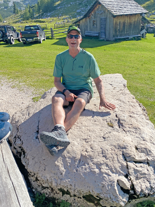
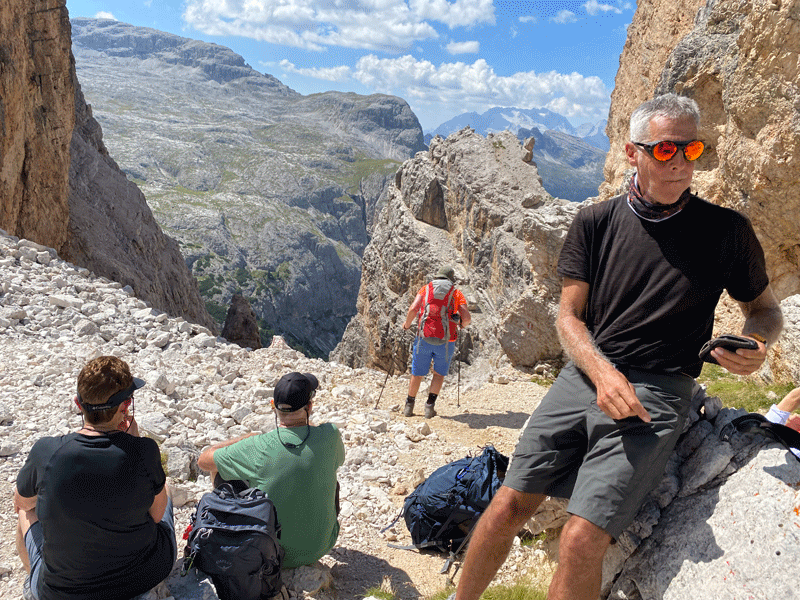
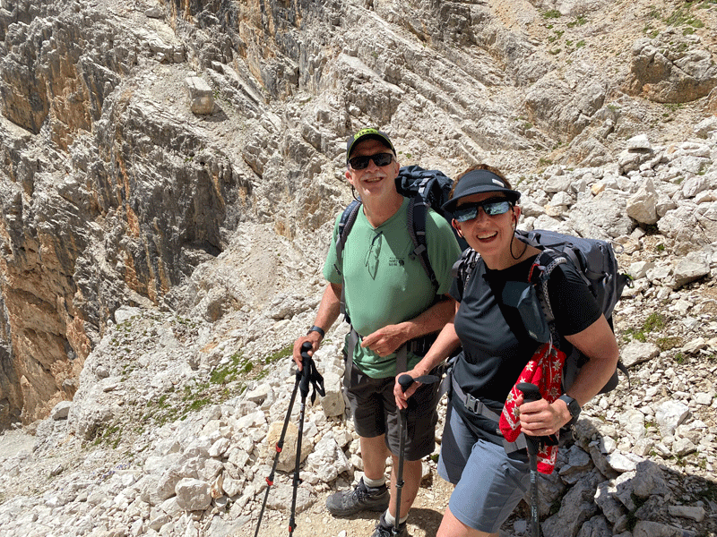
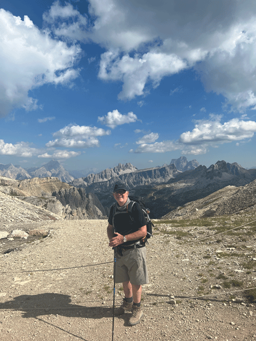
Ken soaking up the sun!
Until rudely awakened by the paparazzi!
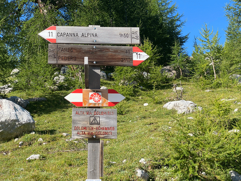
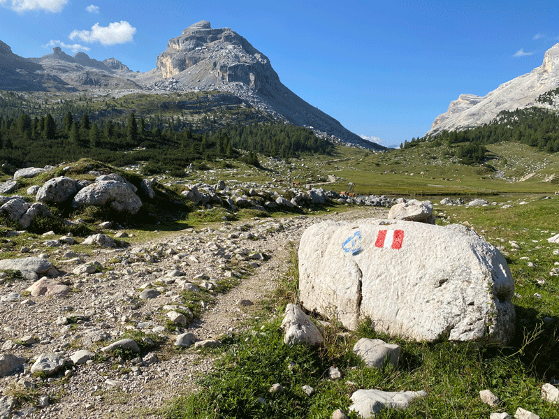
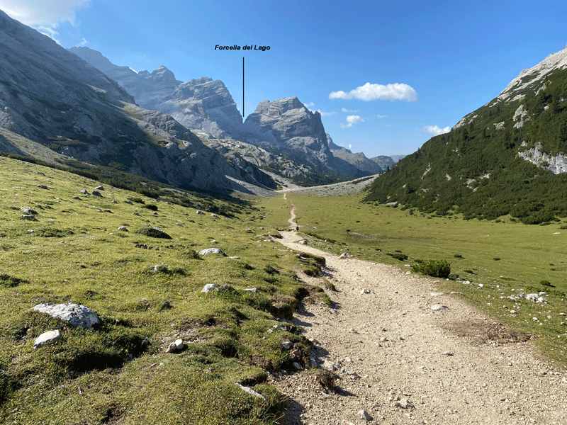
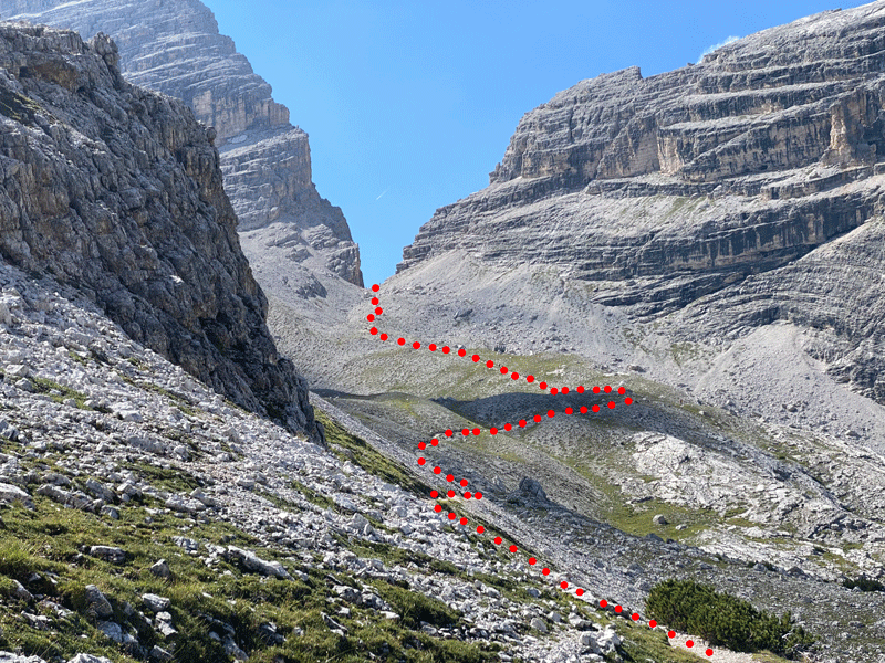
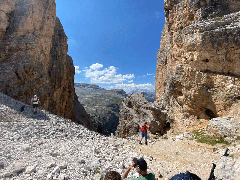
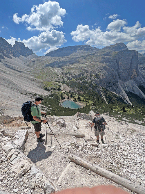
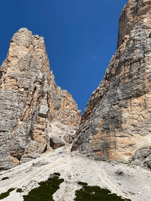
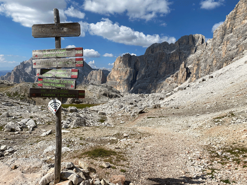
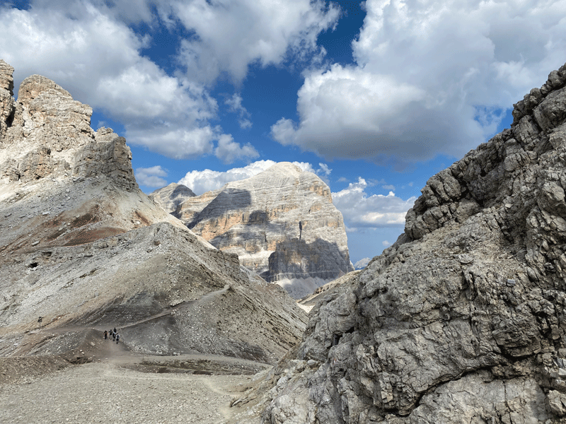
We were soon to leave route 11 to climb to the cleft in the rock, Forcella del Lago
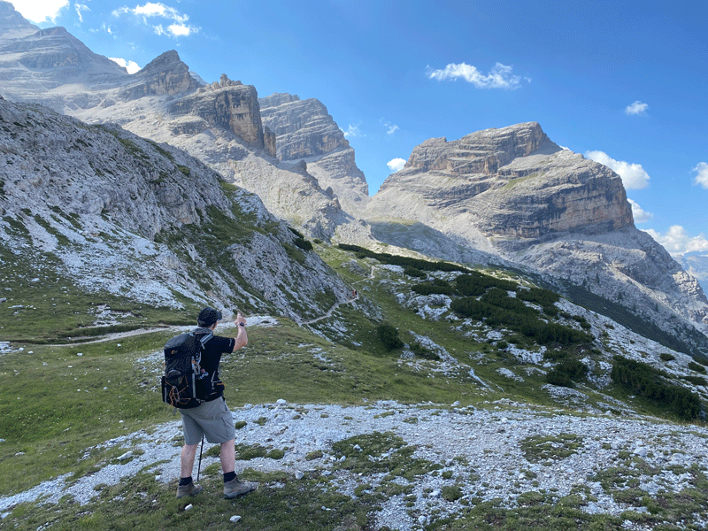
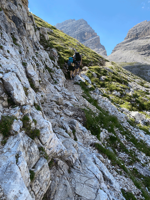
Mick surveying the path ahead
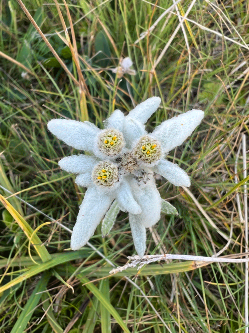
Edelweiss
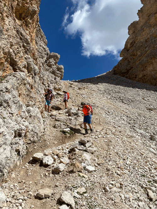
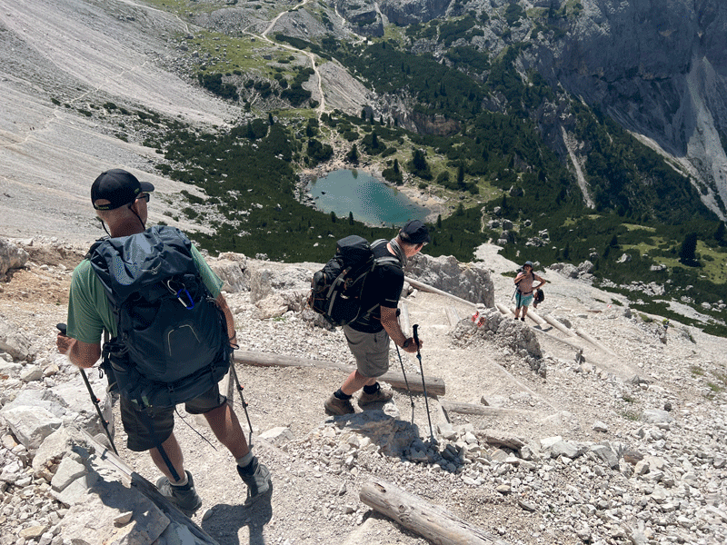
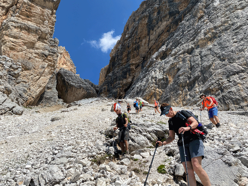
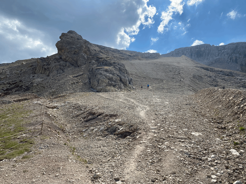
The climb up to Forcella del Lago
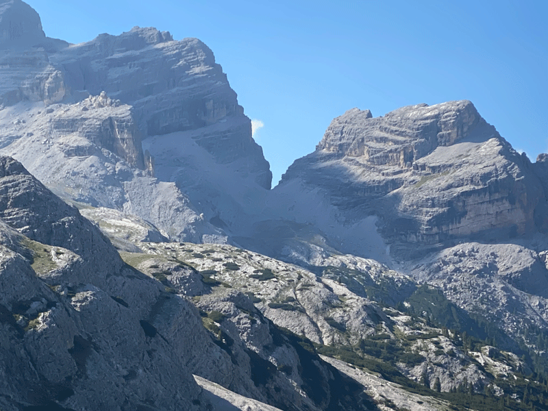
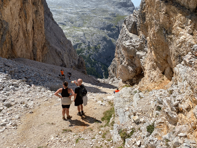
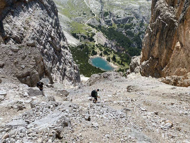
At the col Forcella del Lago. Two things immediately hit you at this point (a) the zig-zag path
Kerri starts the descent
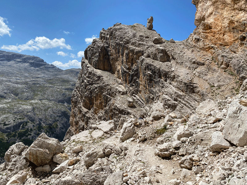
"Stone Man" rock off to the right
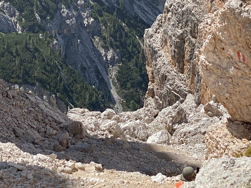
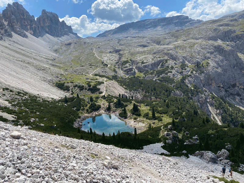
At this point it hits you; not only have you got to get down to the lake
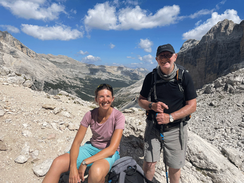
Ken and Maura taking it in their stride and enjoying it!
At this point I thought I was doing fairly well for a near-seventy-seven year old,
Dieter was being guided by his ski instructor Suzannah!
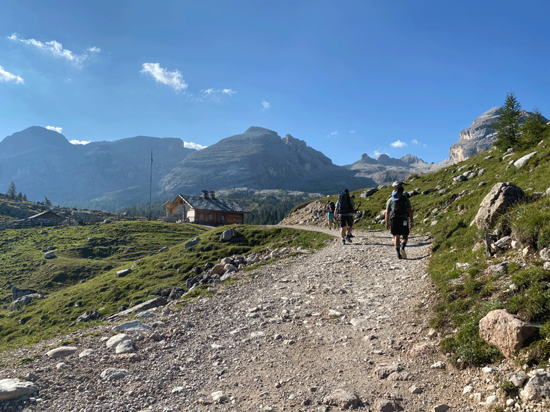
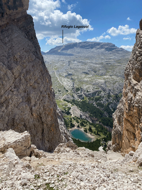
Looking back as we climb towards Rifugio Lagazuoi
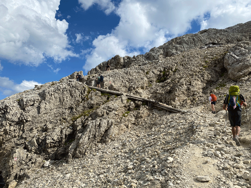
On the way up to the ridge line and Rifugio Lagazuoi
A good view of Tofana de Rozes
Time for another selfie. Check it out!
Reaching the col (Forcella Lagazuoi) for the last push up to Rifugio Lagazuoi. A good view of Tofana in the background.
The zig-zags make the climb a bit easier
Well done Mick? No, well done Anna for pacing me up the hill!
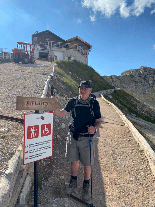
Made it!
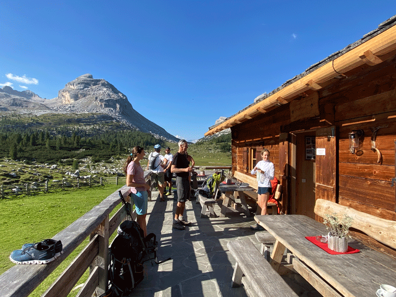
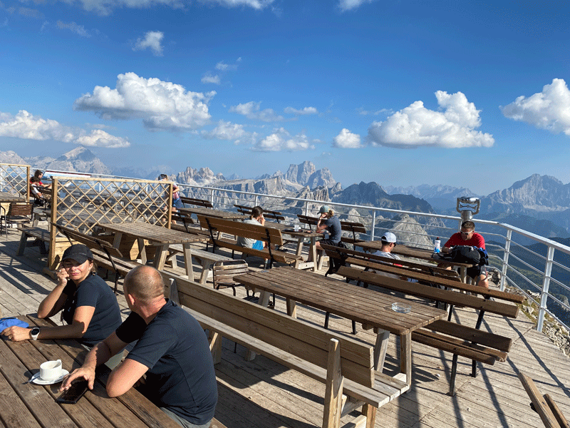
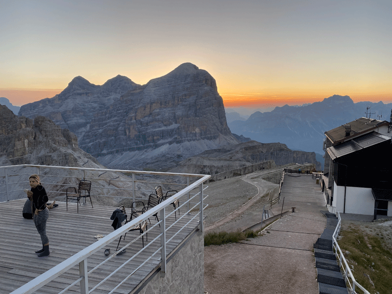
Rifugio Lagazuoi terrace with fantastic views
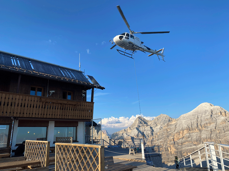
Fresh supply of drinks being brought up by helicopter.
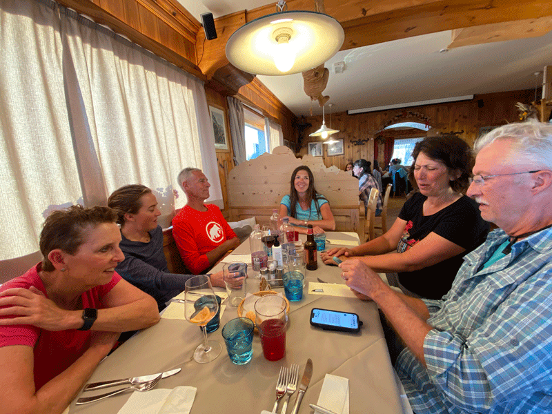
Ready for the evening meal
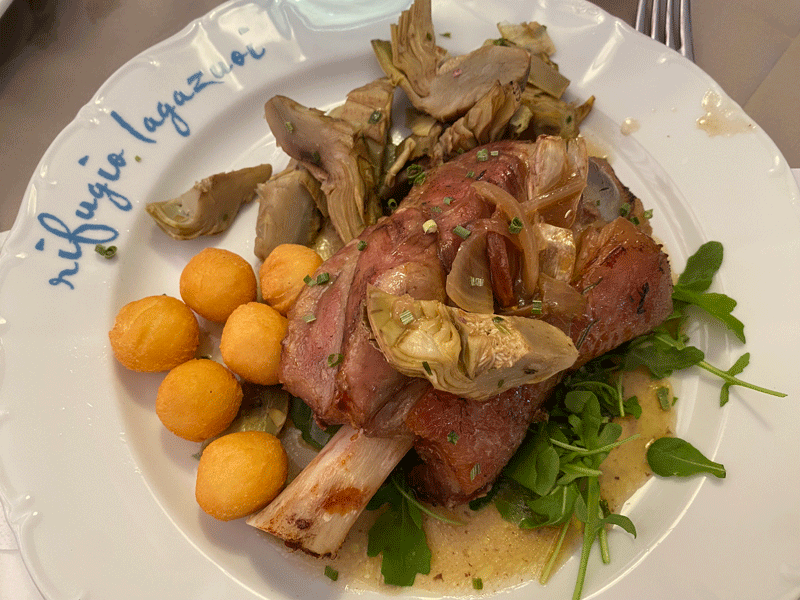
My choice for dinner..... pork knuckle
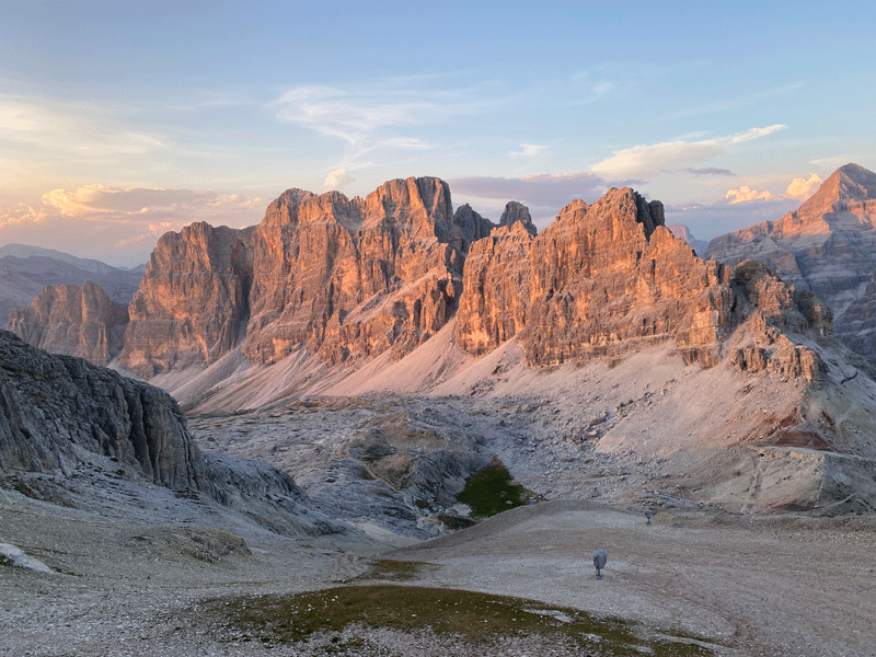
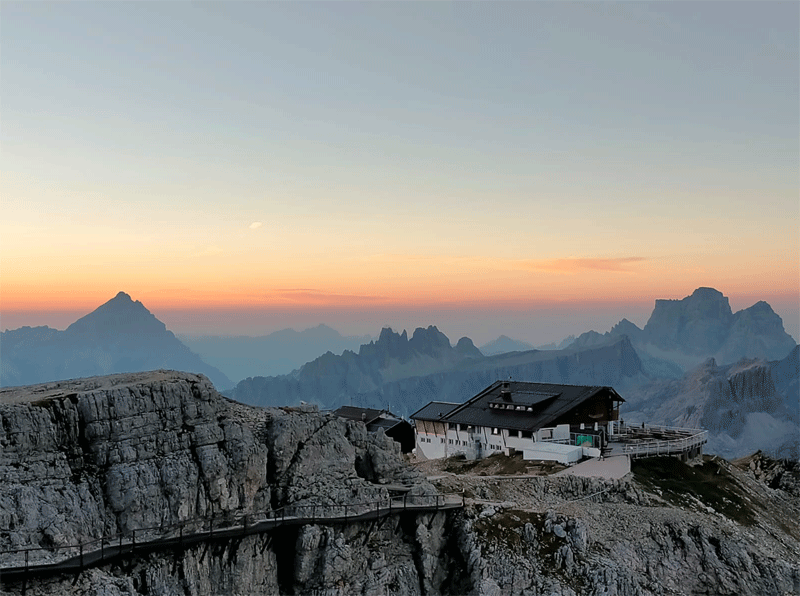
The mountains glow in the setting sun
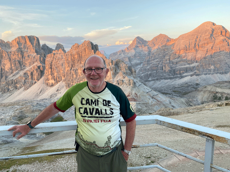
Mick glowing in the setting sun. It had been a hard day!
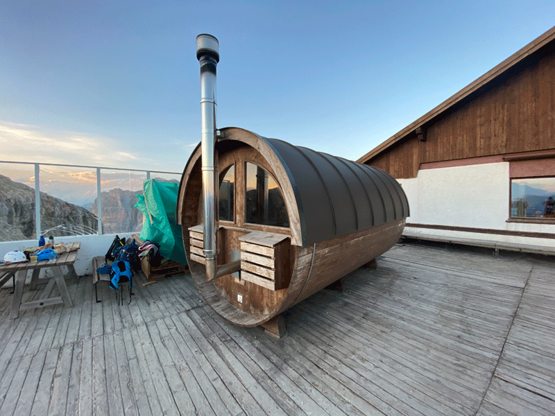
The sauna. Only Kerri was brave enough to try.
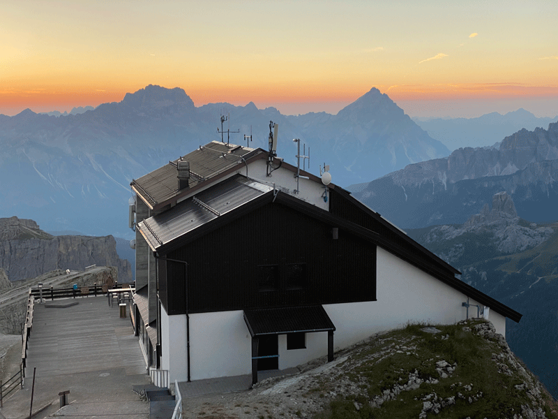
The building on the right is the Lagazuoi Cable Car
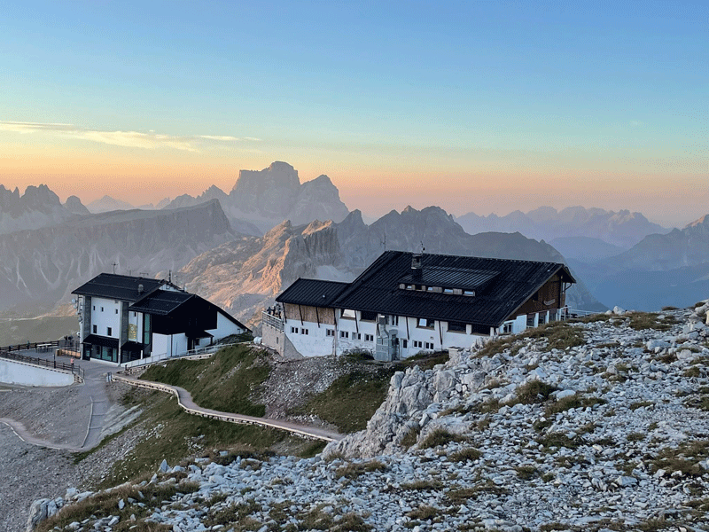
Cable car station and Rifugio Lagazuoi
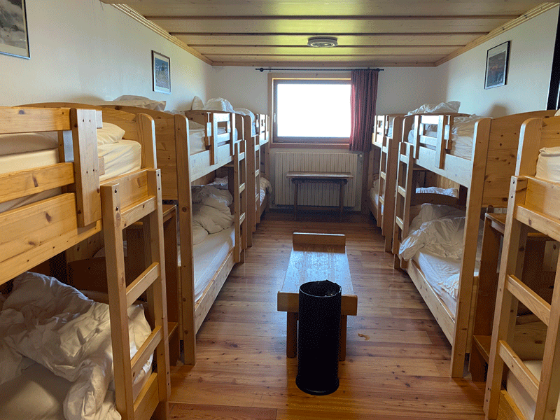
And time for bed! Although there were 12 beds in the room it was a comfortable night, and
|
||||||||||||||||||||||||||||||||