| About | Home | Recent Activities |
|
The Strollers
|
||
|
Narrowboating |
River Cruises |
Travel |
| Cornwall | Morganeering | Copyright |
St. Peter's Way Stage 2.
St. Peter's Bridge (A130) to Mundon
11 Miles - 3hours 40 minutes
20th August 2012
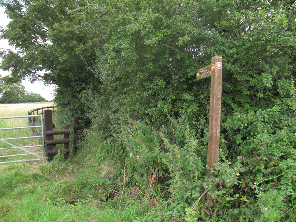
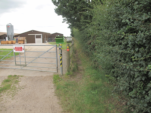
| The path goes off over the fields towards East Hanningfield 20 yards or so up the A130 from where it emerges from St. Peter's Bridge. |
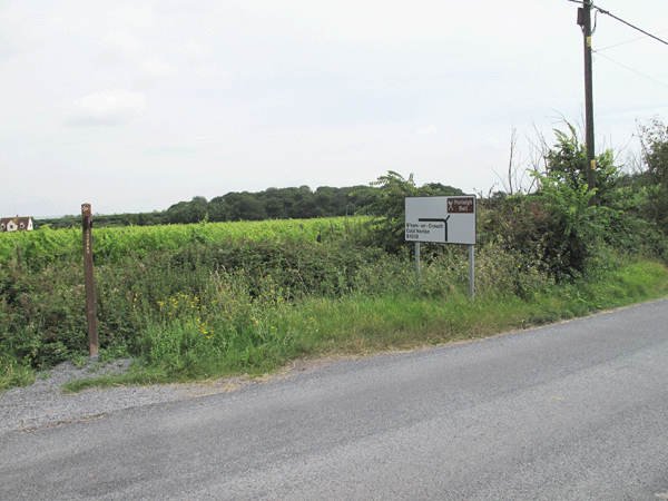
Route signposted on the old A130
The path goes off along the edge of a field towards Hill Farm
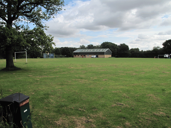
The path enters East Hanningfield via the Recreation Ground, going past the shops
and the school onto the main road in East Hanningfield
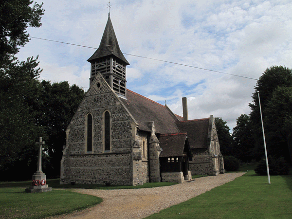
East Hanningfield Church
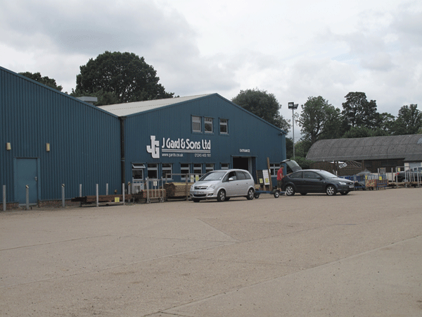
The path leaves East Hanningfield via the woodyard of J Gard & Sons, heading towards Back Butts Farm
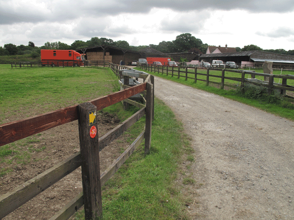
The path skirts around the side of Back Butts Farm
Entrance to Leigham's Farm
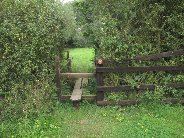
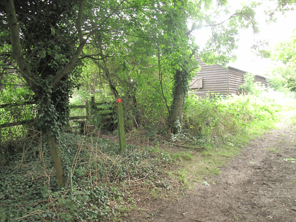
Leaving Leigham's Farm via a stile at the rear of the farm.
| The path approaches Bicknacre, skirting around the Recreation Ground, before emerging in the housing estate. It is a short walk to the main road through the houses, with the path continuing on the other side of the road a few yards further down. |
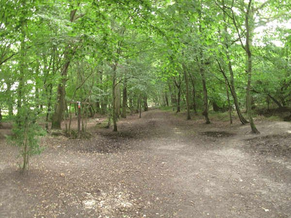
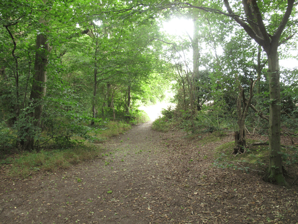
Entering Thrift Wood as you leave Bicknacre
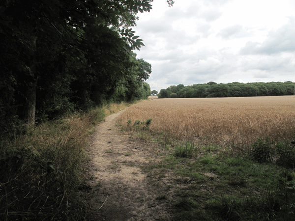
Heading out of the wooded area back in to open fields
Heading towards Folks Wood
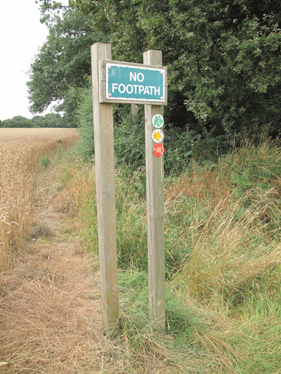
At the end of Folks Wood there is a sign advising you not to continue skirting the wood
to the right, but to heade out across the fields towards Jacklett's Wood
| Eventually you approach Wickham's Farm, where the path goes off to the right skirting around the farm itself. Eventually the path emerges on the road in Cock Clarks, and you turn right. You are looking for a sign showing the continuation of the path on the other side of the road, and you have to walk quite a long way up the road. The path starts on the other side of the road shortly after "The Crib". After crossing fields you emerge on Birchwood Road, and after a short distance you turn left down Lodge Lane. Passing Nieman's Farm, you eventually come to a dirt track road on the right leading to Mill Farm. |
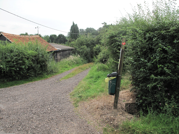
Entrance of the dirt track road heading towards Mill Farm
| This lane goes further than you might expect, and you are to be forgiven if you feel that you might have come the wrong way. But eventually you reach farm buildings and the path goes off to the left over a stile. |
The path goes off to the left via the stile.
| Cutting across the field the path emerges opposite New Hall Vineyard; the path actually goes through the vineyard and emerges the other side. |
New Hall Vineyard across the road
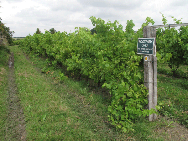
The path goes through the vineyard itself.
| Crossing the road, the path is clearly signposted and goes off up a slight incline towards the Church |
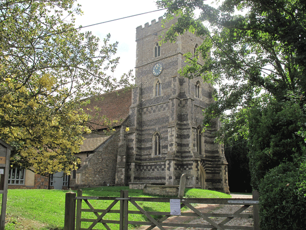
All Saints Church, Purleigh
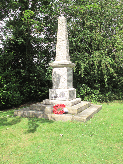
The War Memorial
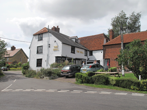
The Bell, Purleigh
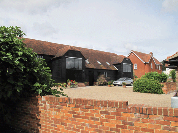
Purleigh Barns
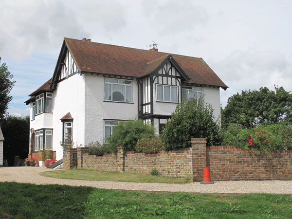
Purleigh Hall
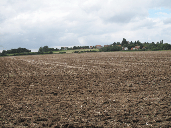
Looking back to Purleigh Hall, having made my own way directly across a ploughed field
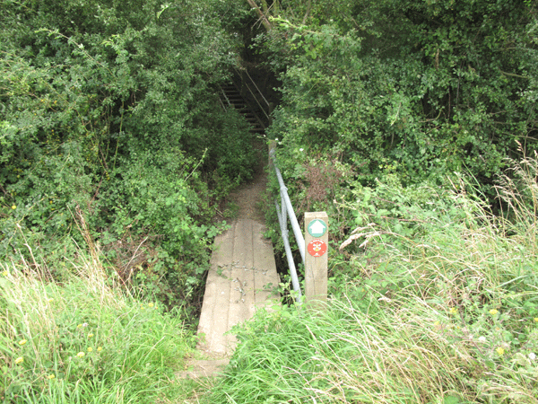
The path traverses a raised mound clearly shown on the Essex County Council guide map,
being perpendicular to Purleigh Street.
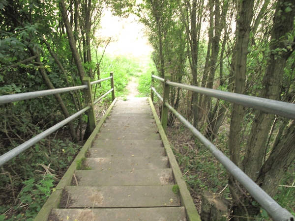
Steps take you down the other side of the mound; from there it is a straight walk
across a corn field to Simmonds Lane
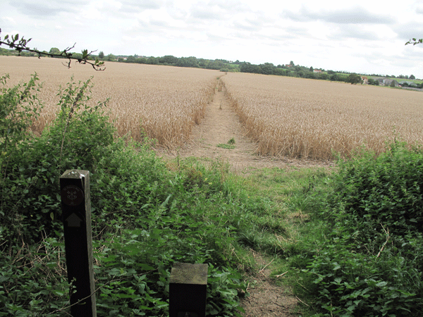
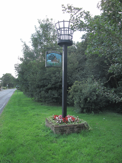
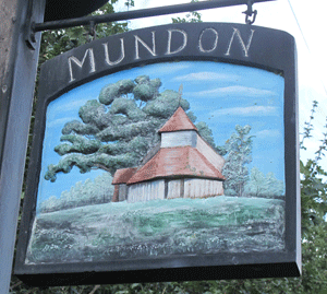
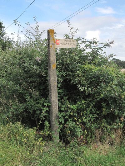
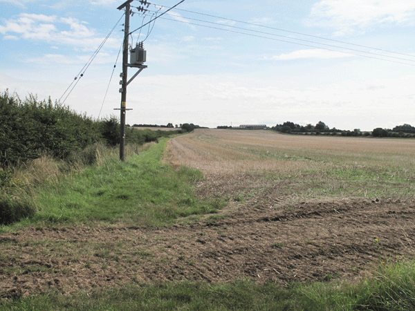
| Exiting "the mound" you head across the fields to Simmonds Lane. A short detour to the left along Simmonds Lane leads you across yet another field, exiting on the very busy Fambridge Road. Here you have to walk 20 yards or so to the left, but you have to ensure that no traffic is coming as the speed of the vehicles on this section of road is quite high. You eventually pass throgh Sparrow Wycke Farm, and come out into Mundon itself near The White Horse pub. The bus stop for those wanting the 3!X service to Maldon and Chelmsford is 500 yards past the pub |