| About | Home | Recent Activities |
|
Hiking Statistics
|
||
|
Narrowboating |
River Cruises |
Travel |
| Cornwall | Morganeering | Copyright |
Monday 21st August 2023
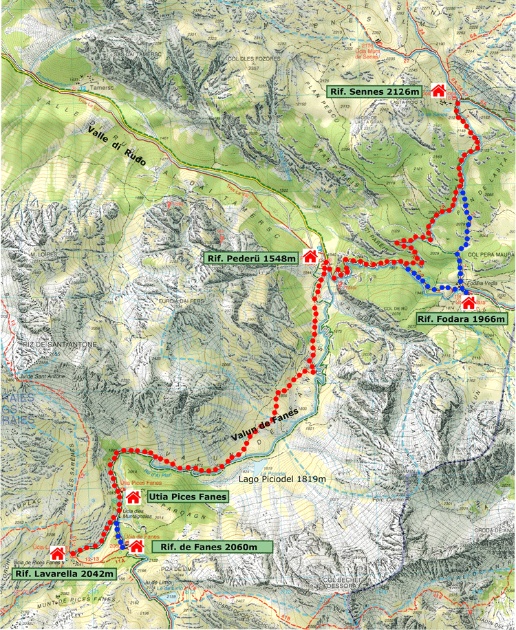
Base map courtesy of Tabacco Maps
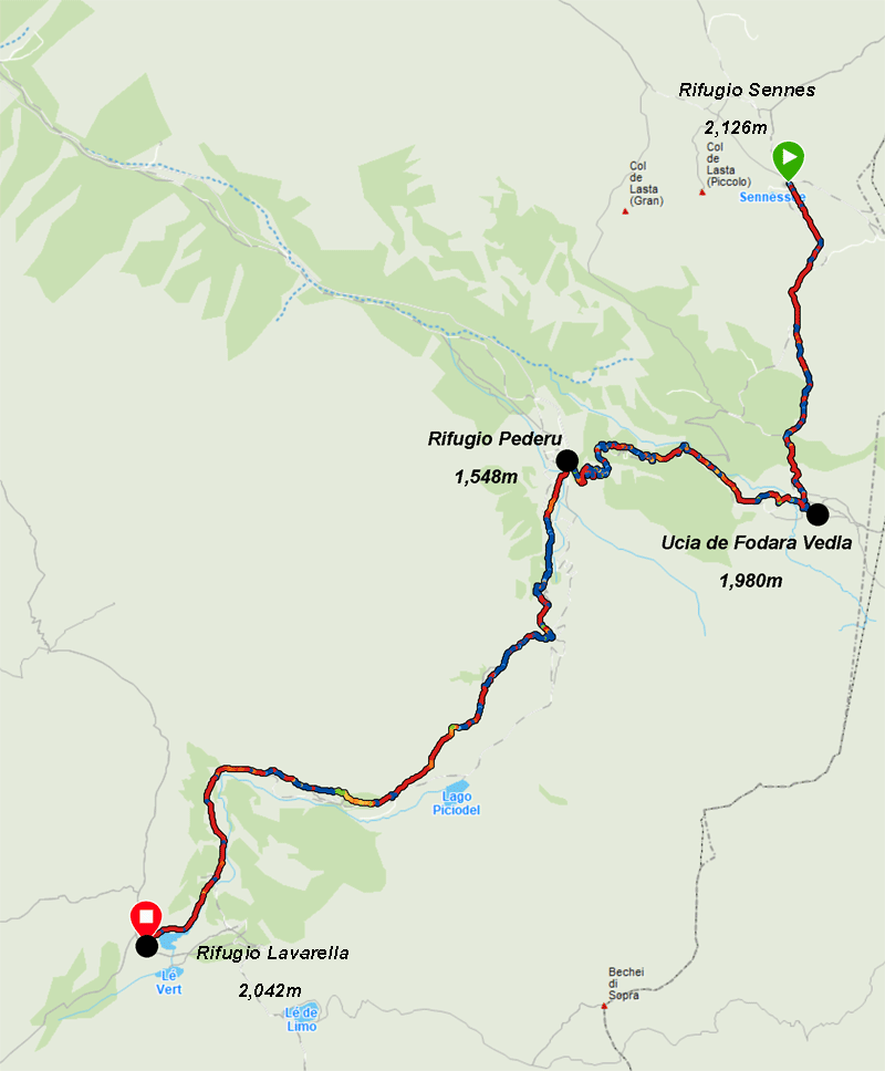
Map courtesy of Garmin
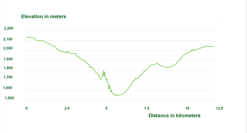
Elevation diagram courtesy of Garmin
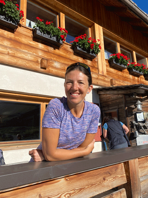
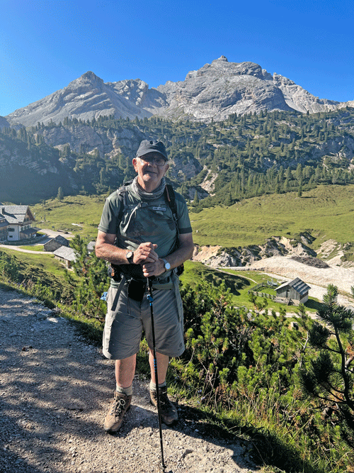
Good to see our guide bright and cheery in the early morning sun
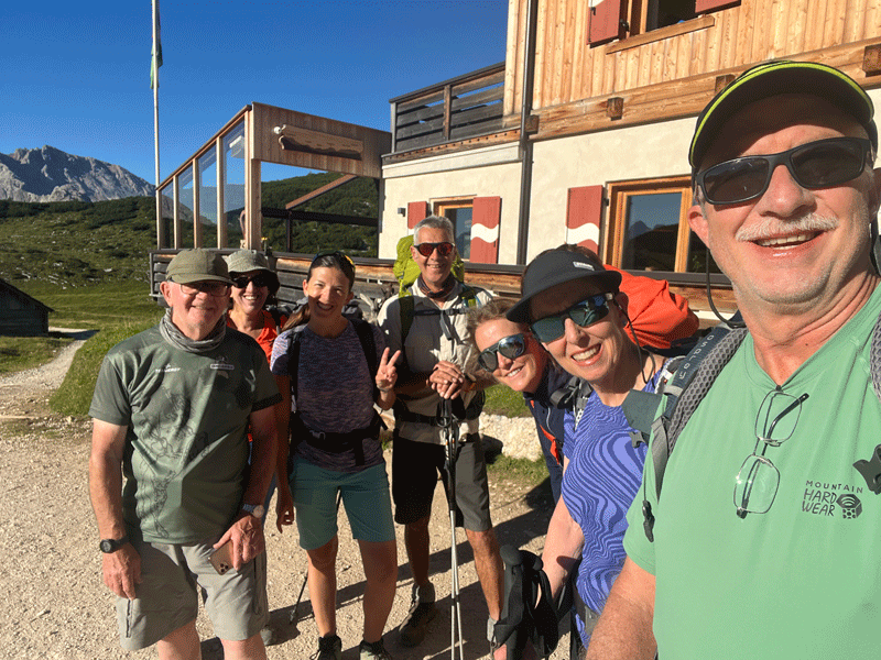
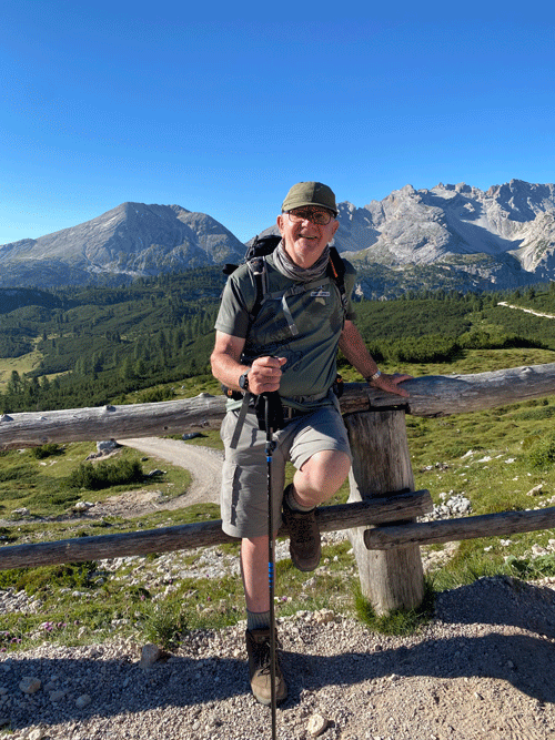
And the obligatory selfie courtesy of Ken
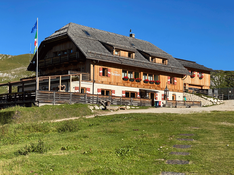
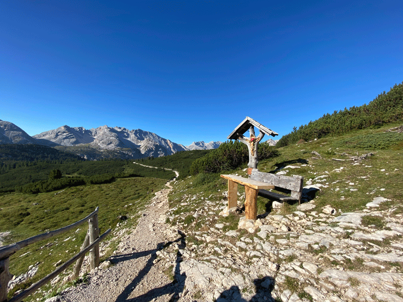
Leaving Rifugio Sennes
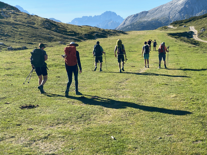
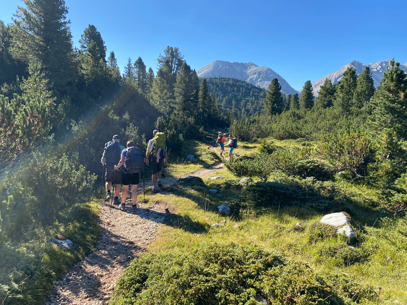
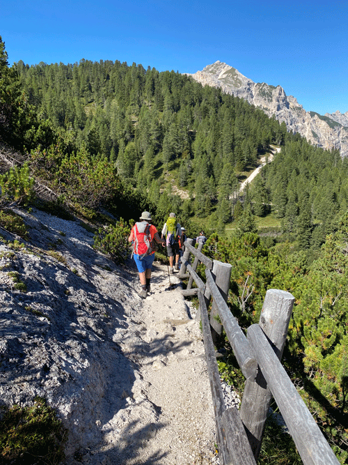
The first stretch is along the old military airfield
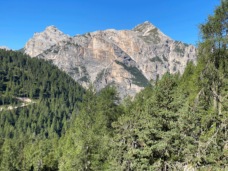
Looking back to the refugio
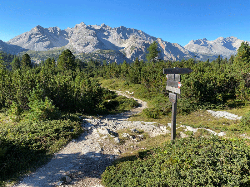
Then the trail to the right
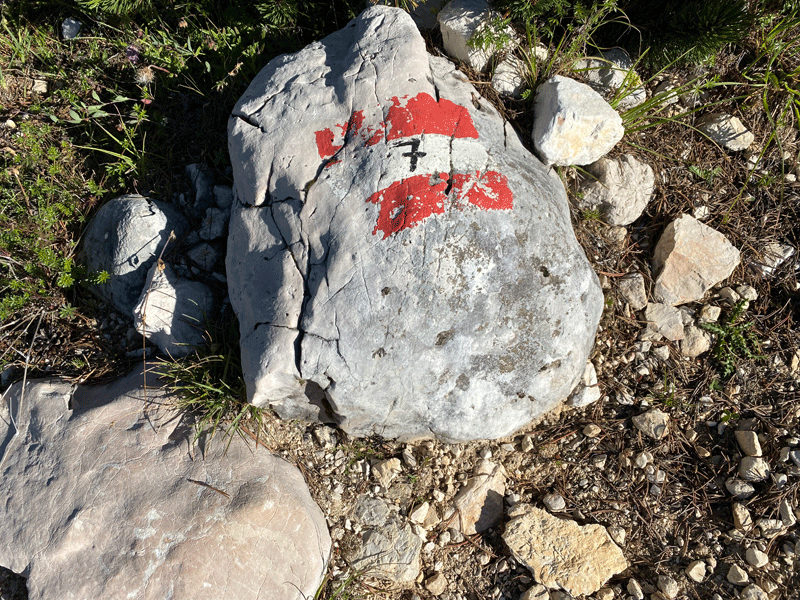
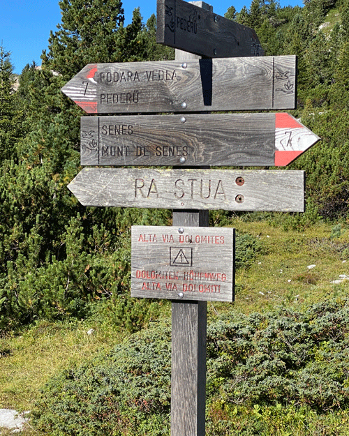
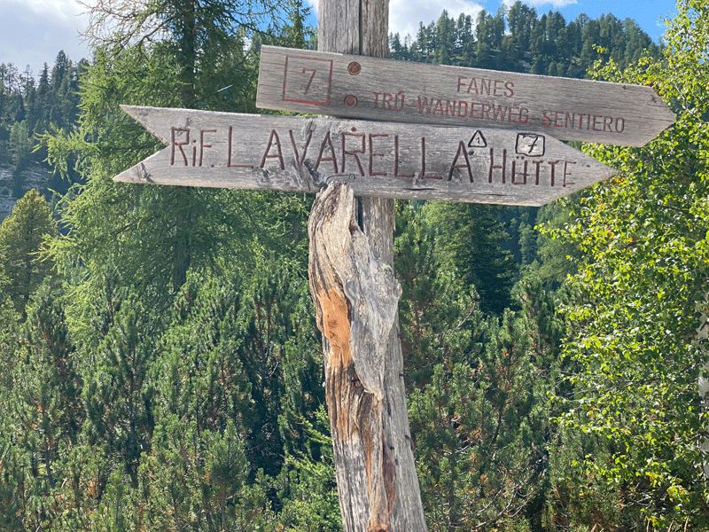
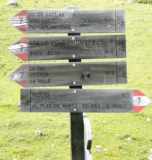
Route 7
Sign posted Ucia de Fodara Vedla and Pederü
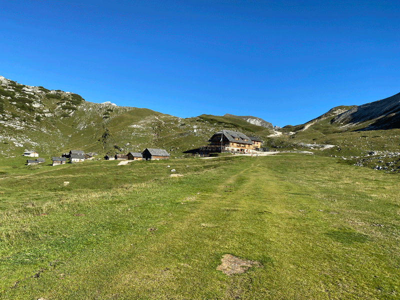
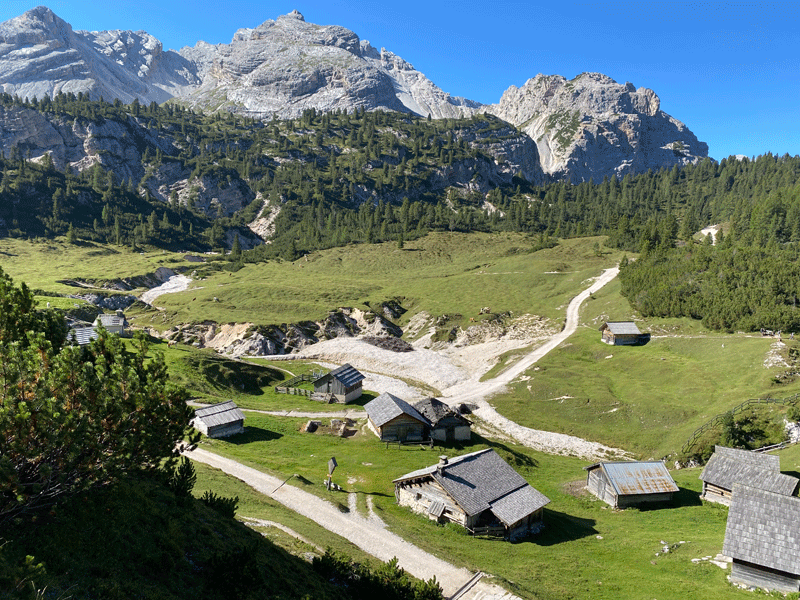
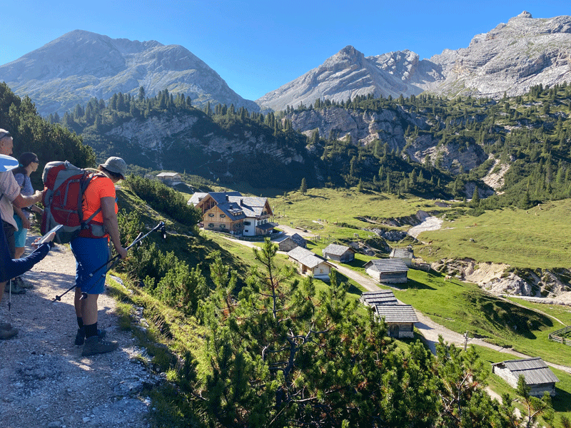
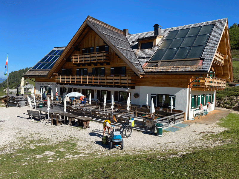
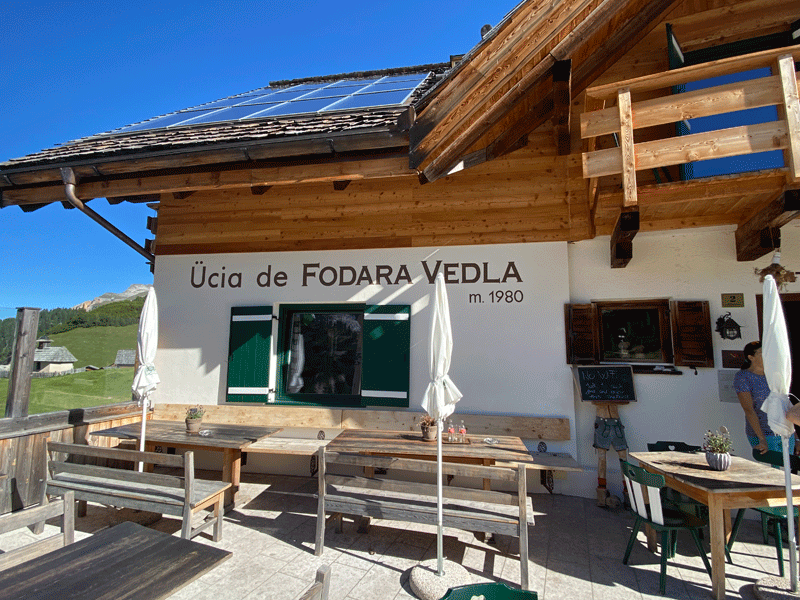
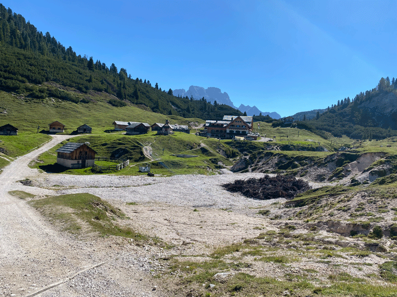
Our first glimpse of Ücia de Fodara Vedla. (Ucia is the Ladin name for "Rifugio")
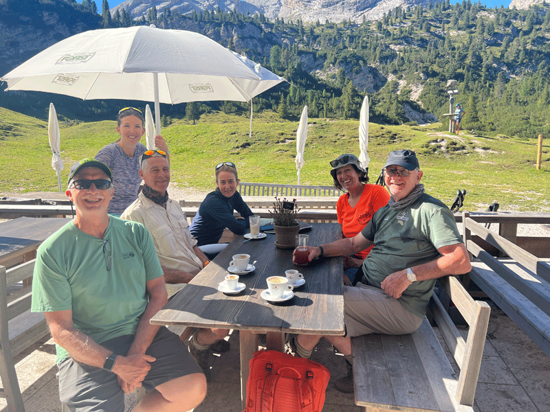
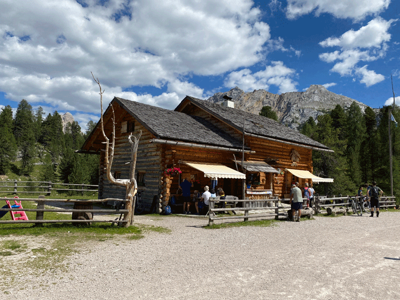
Coffee break at Fodara Vedla
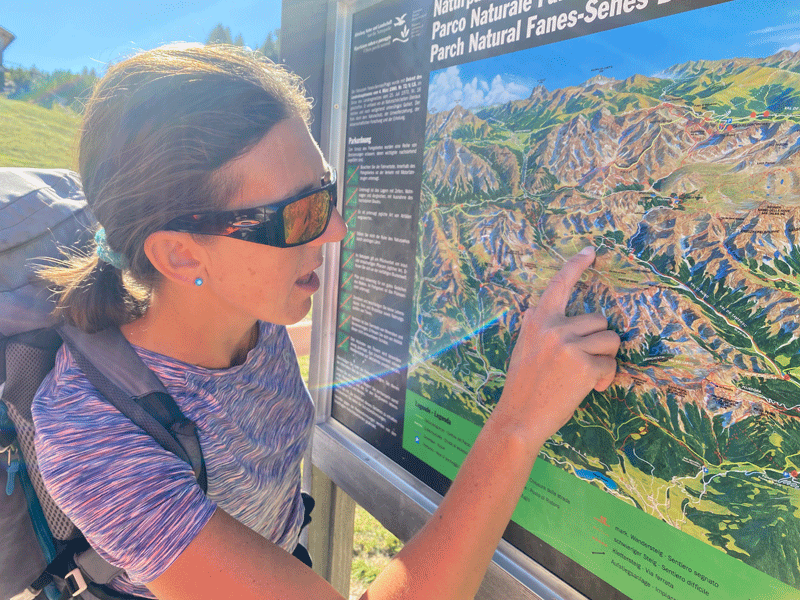
Anna explaining the route
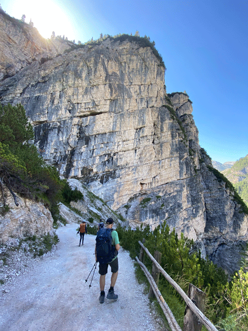
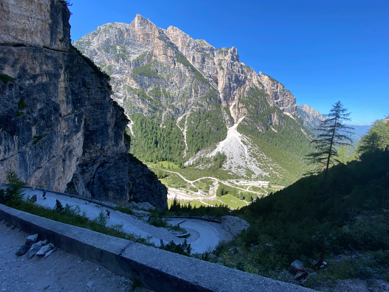
Path leading down to Rifugio Pederü
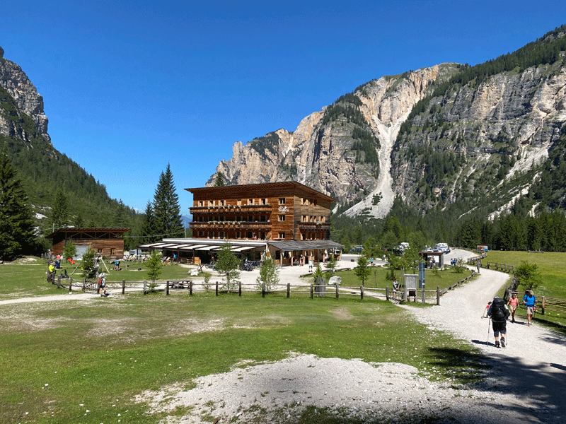
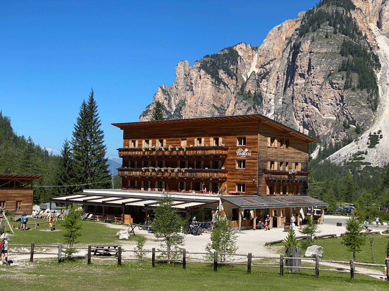
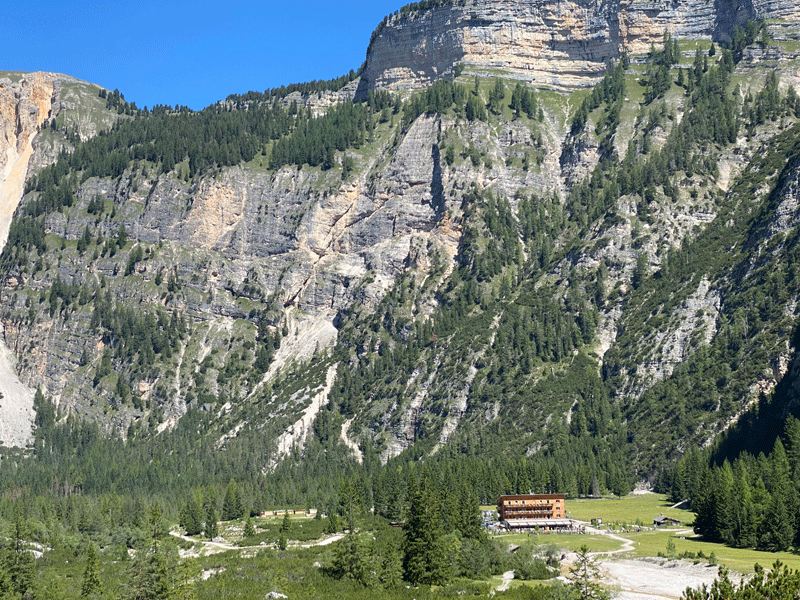
Rifugio Pederü
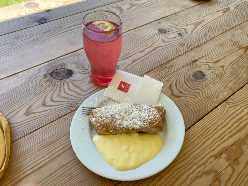
The perfect lunch...... a strudel and a skiwasser!
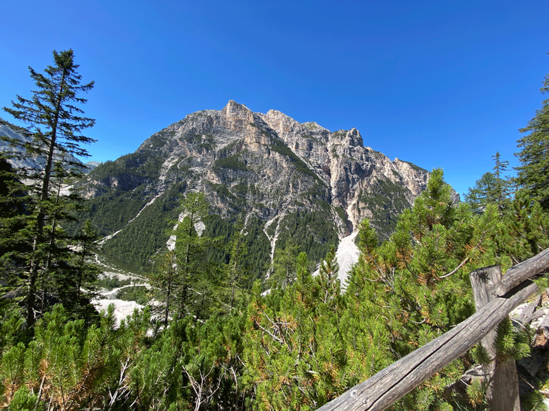
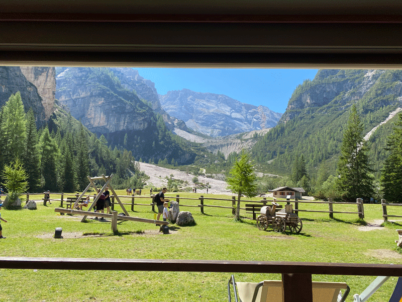
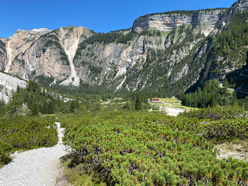
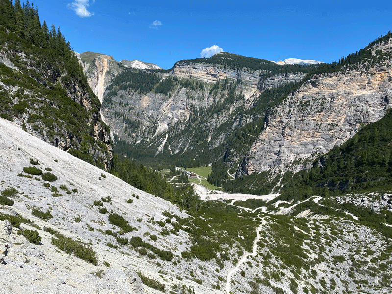
Rifugio Pederü in the distance
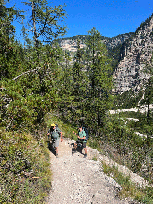
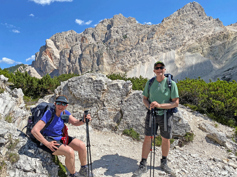
Mick and Ken
Maura and Ken
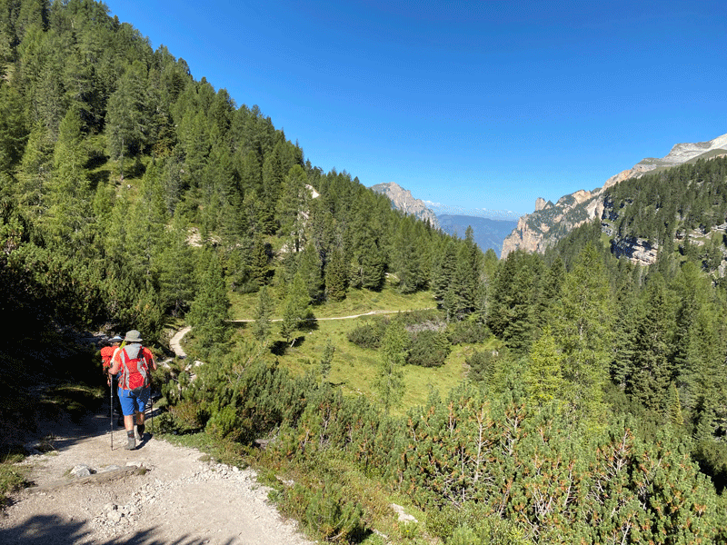
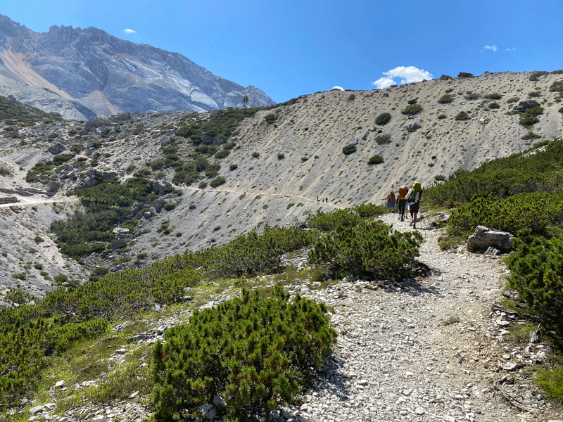
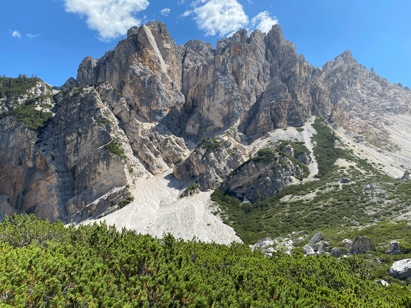
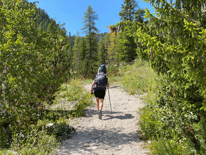
Reasonable gravel trail
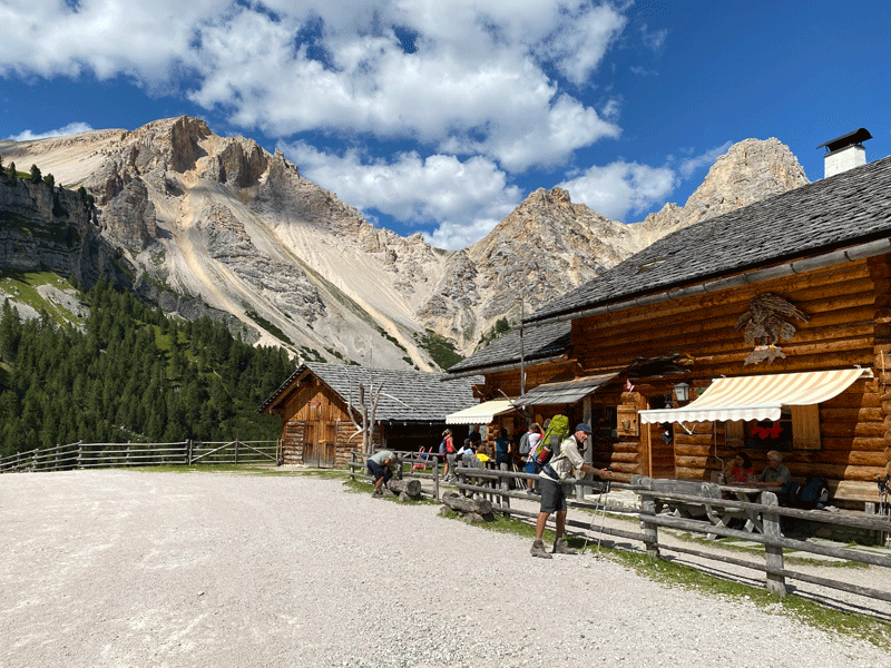
Ücia Pices Fanes
Ücia Pices Fanes
Ücia dles Muntagnoles
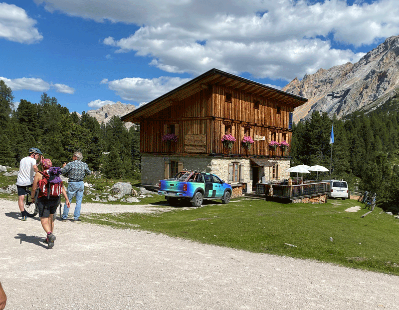
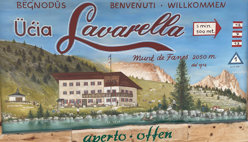
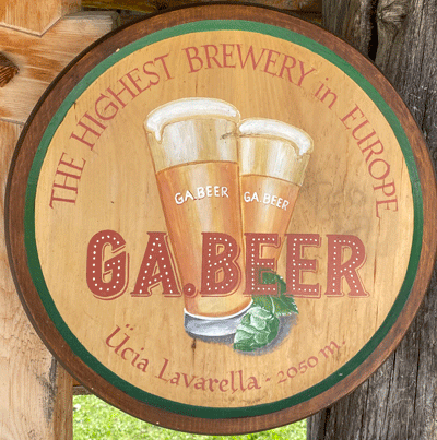
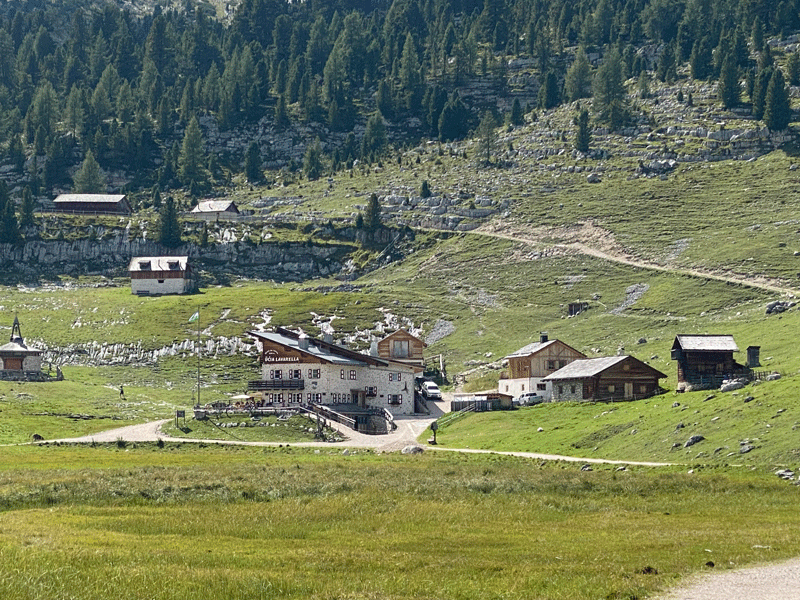
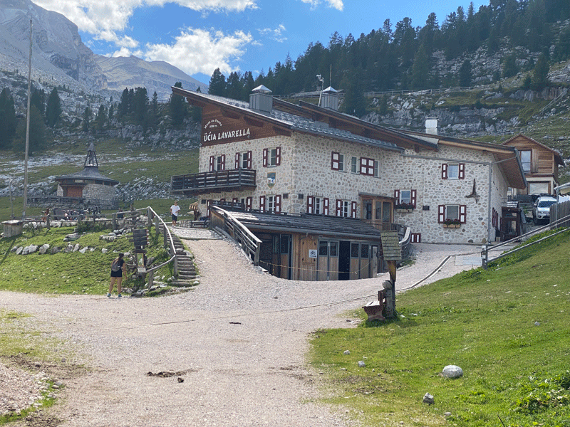
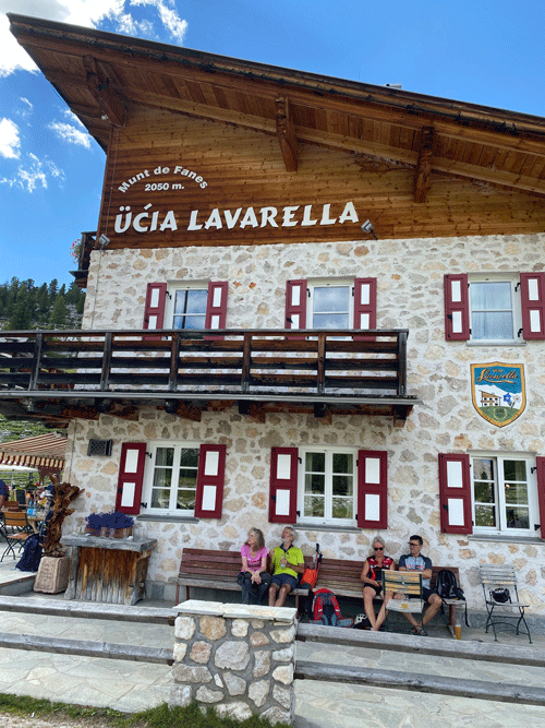
Ücia Lavarella
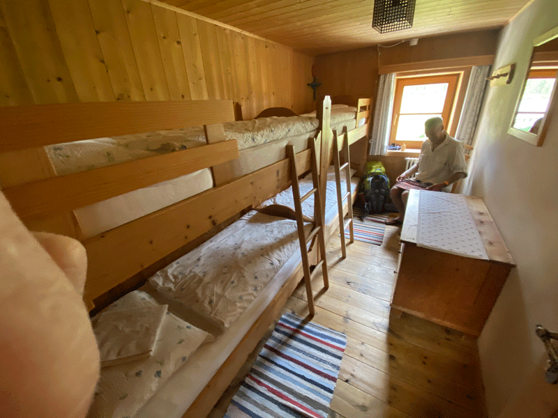
Bunk room
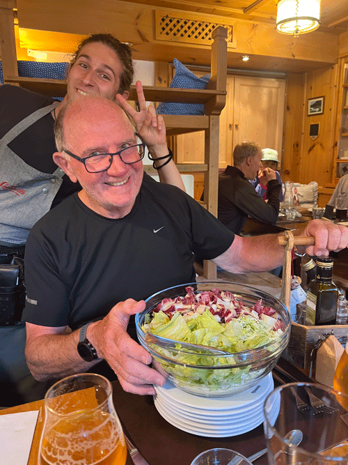
Mick given the task of serving the salad....... before Kerri kindly took over!
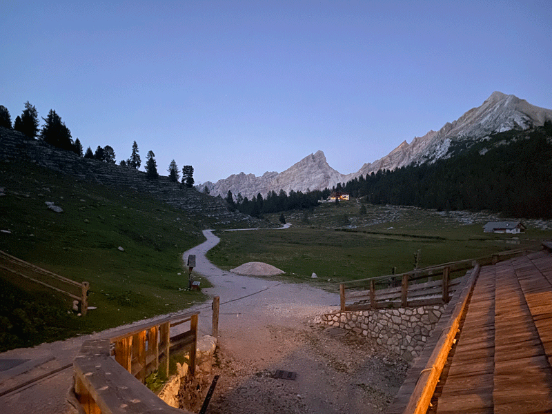
Night falls over the valley after another enjoyable day
|
|||||||||||||||||||||||||||||||