| About | Home | Recent Activities |
|
Hiking Statistics
|
||
|
Narrowboating |
River Cruises |
Travel |
| Cornwall | Morganeering | Copyright |
Saturday 26th August 2023
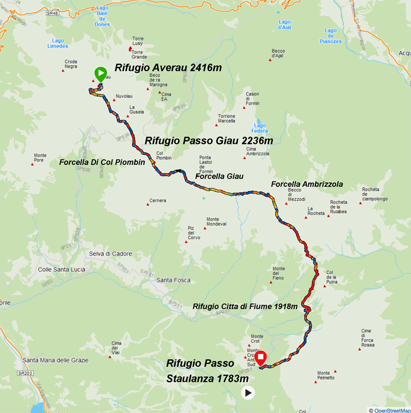
Map courtsey of Garmin
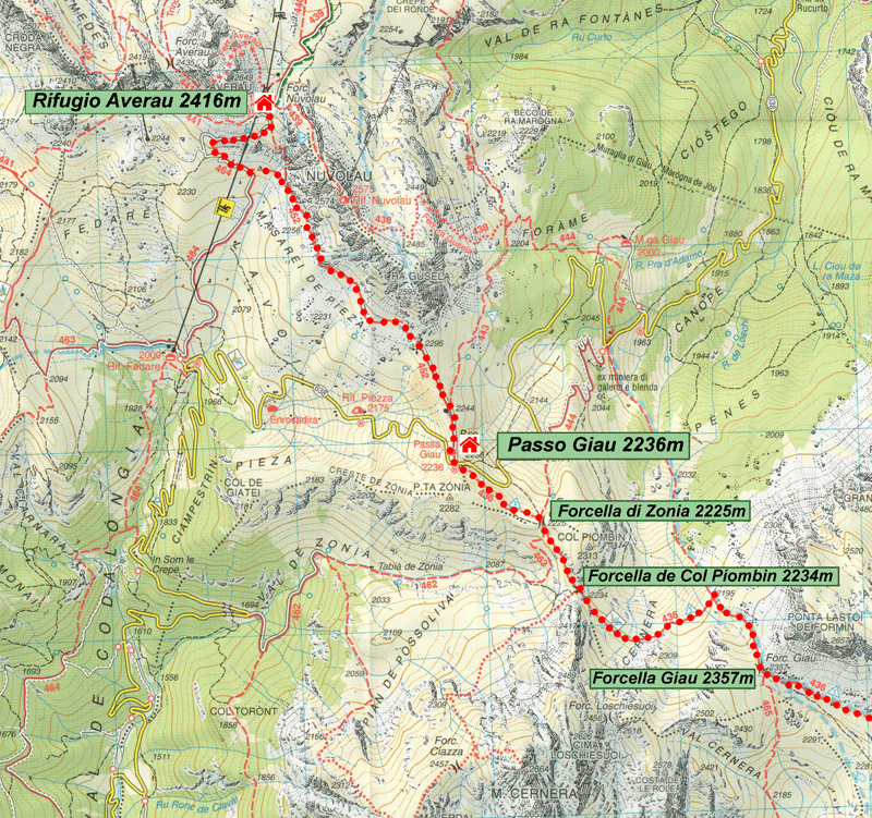
Base map courtesy of Tabacco Maps
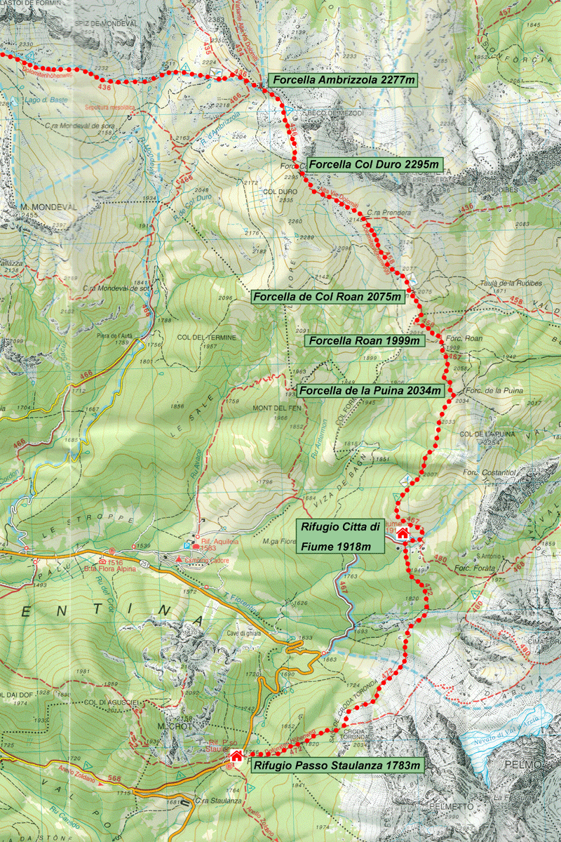
Base map courtesy of Tabacco Maps
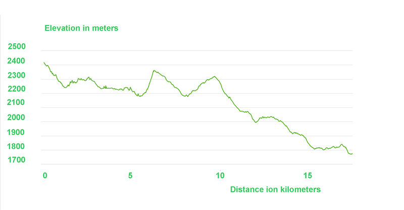
Elevation diagram courtesy of Garmin
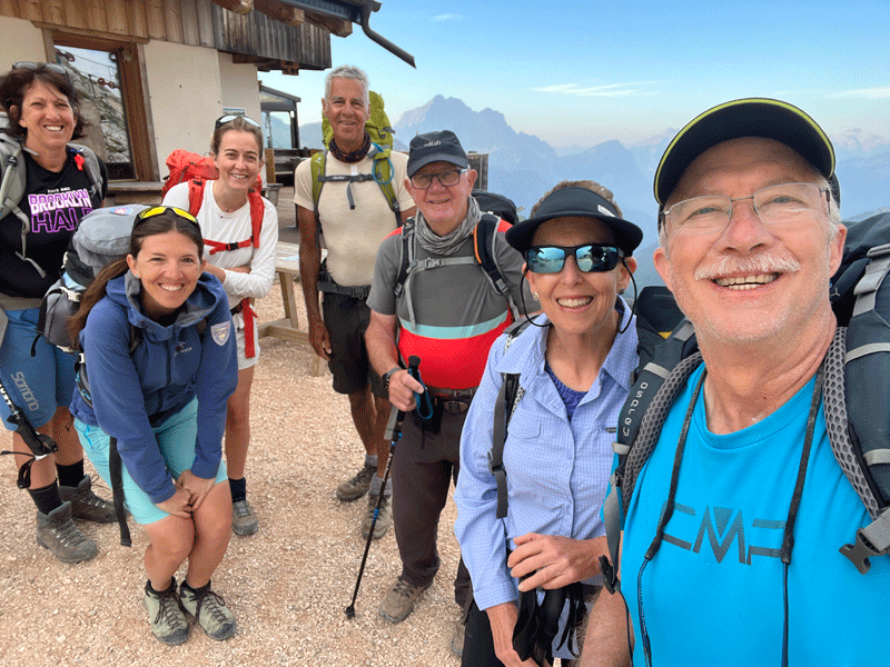
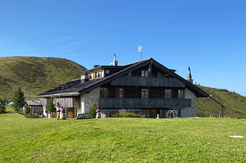
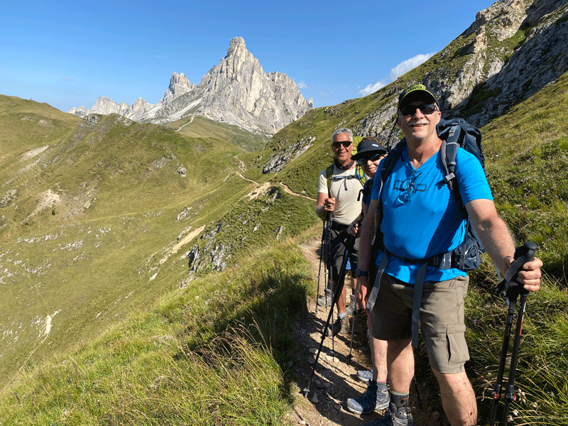
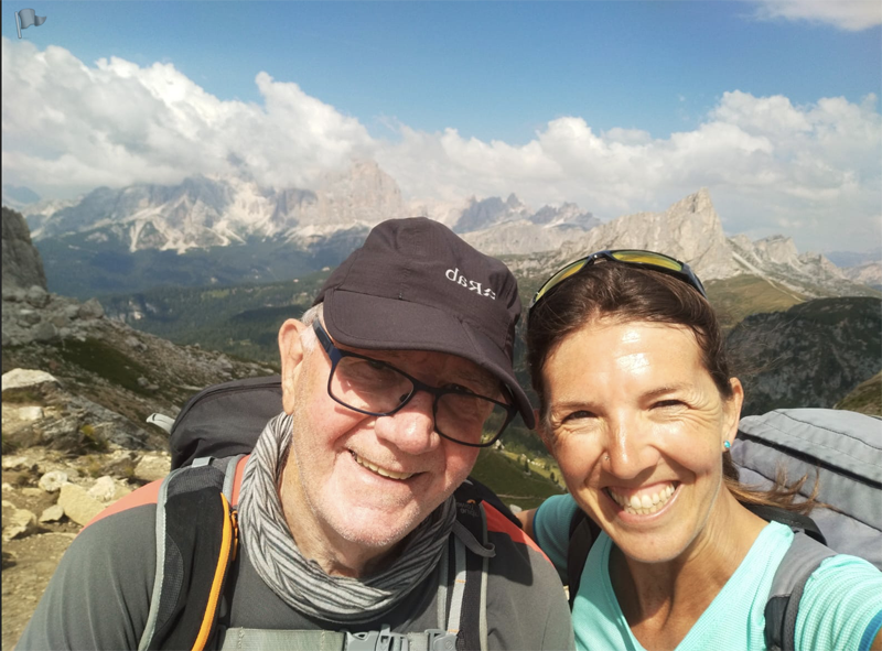
The obligatory selfie before we departed Rifugio Averau
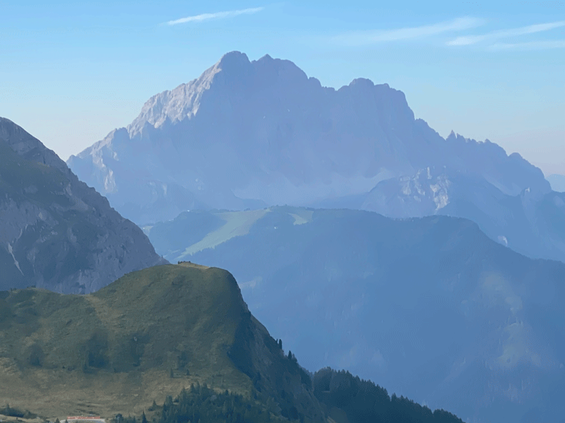
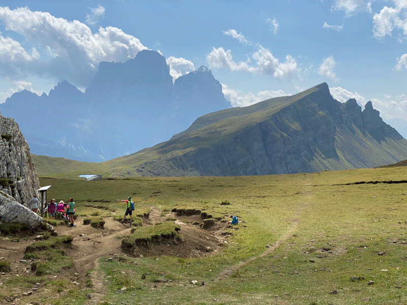
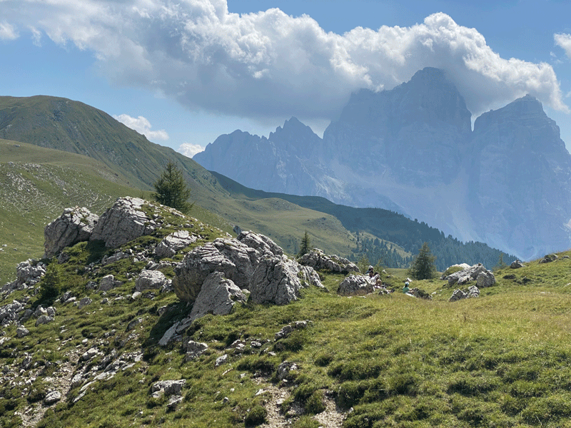
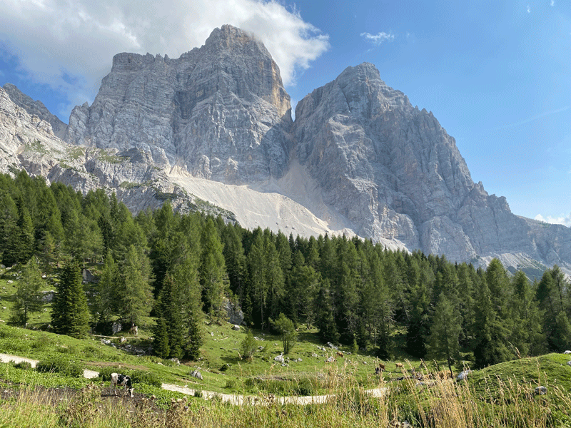
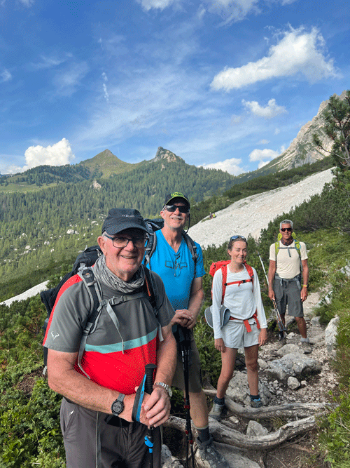
The faint mountain centre left background is Pelmo
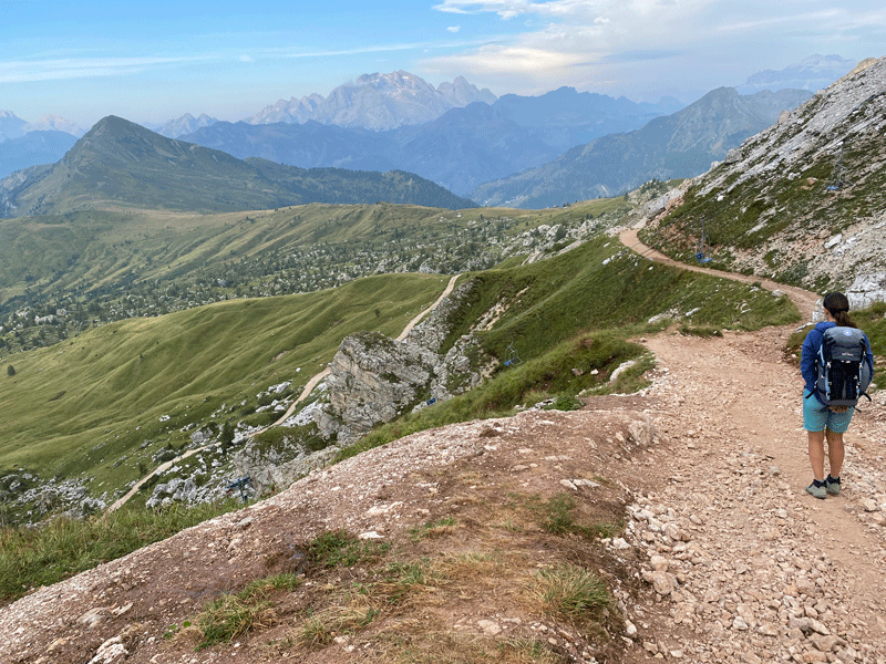
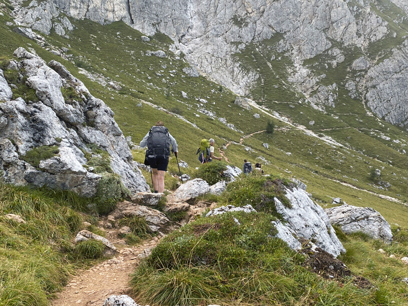
We are going downhill for a change! Thank the Lord!
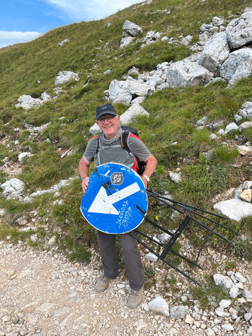
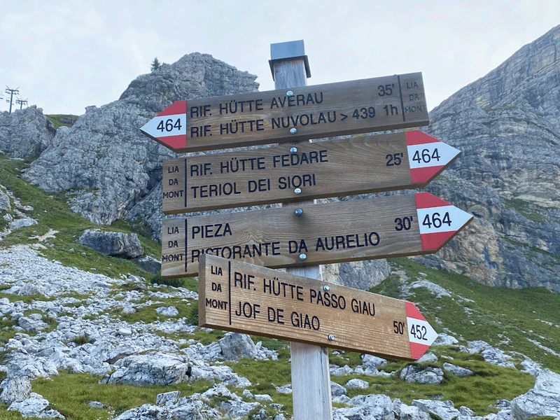
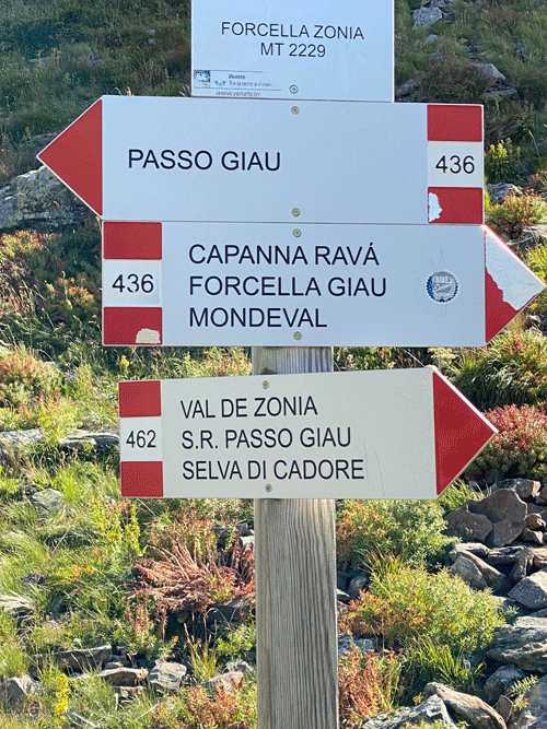
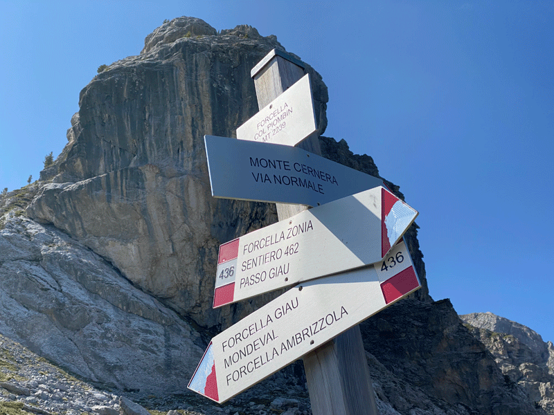
Fifty minutes to Rifugio Passo Giau on the 452
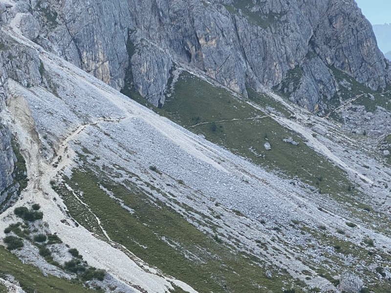
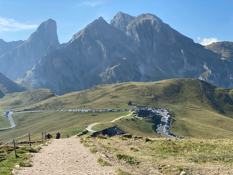
Its a long and winding road .......
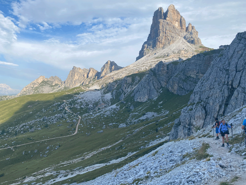
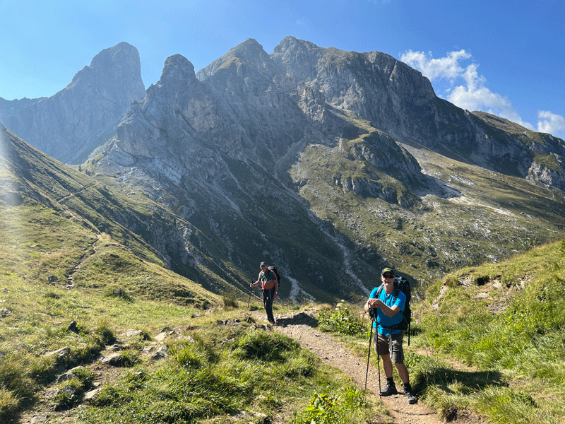
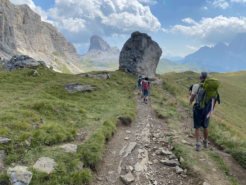
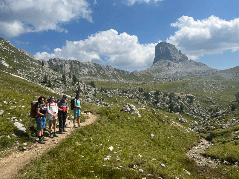
Looking back to Averau (1.5 km in 43 minutes to this point)
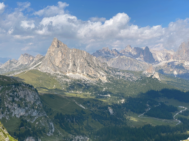
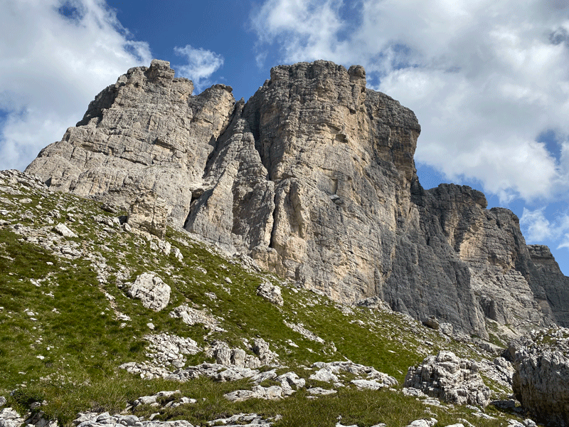
Averau, with Rifugio Averau just visible on the col.
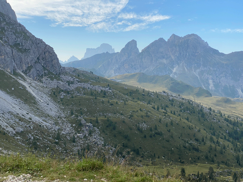
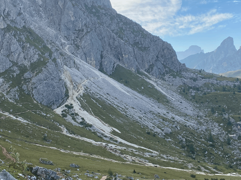
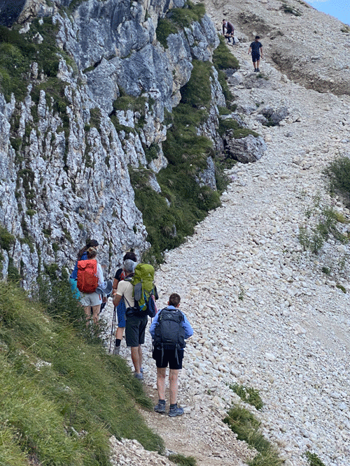
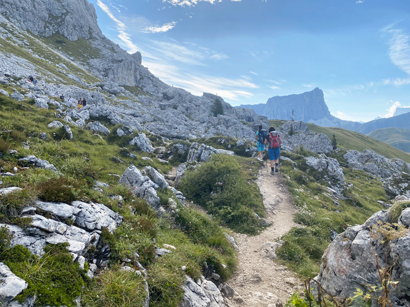
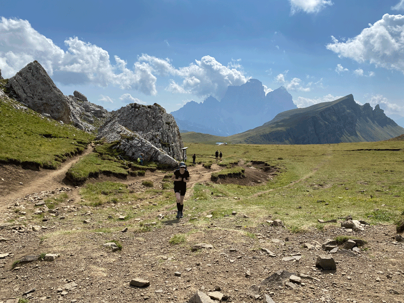
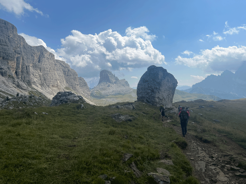
Approaching Passo Giau, with Pelmo in the background again. (2.4 km in 1H07 to this point)
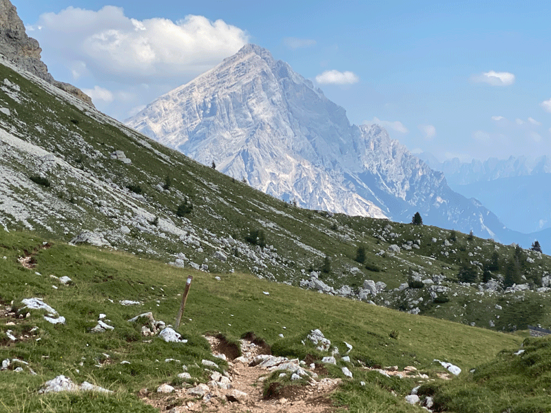
Tree, Rock........ Rock,Tree
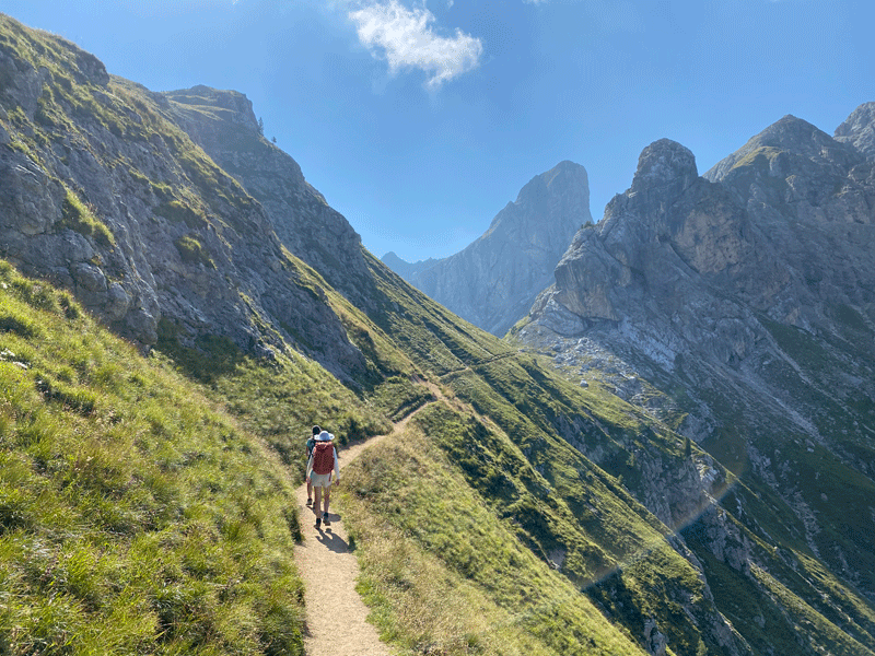
Dropping down to Passo Giau
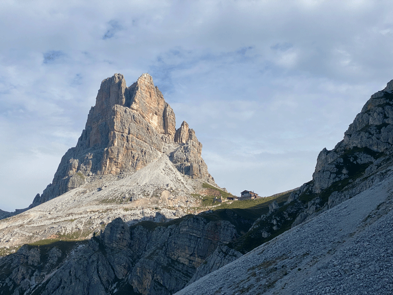
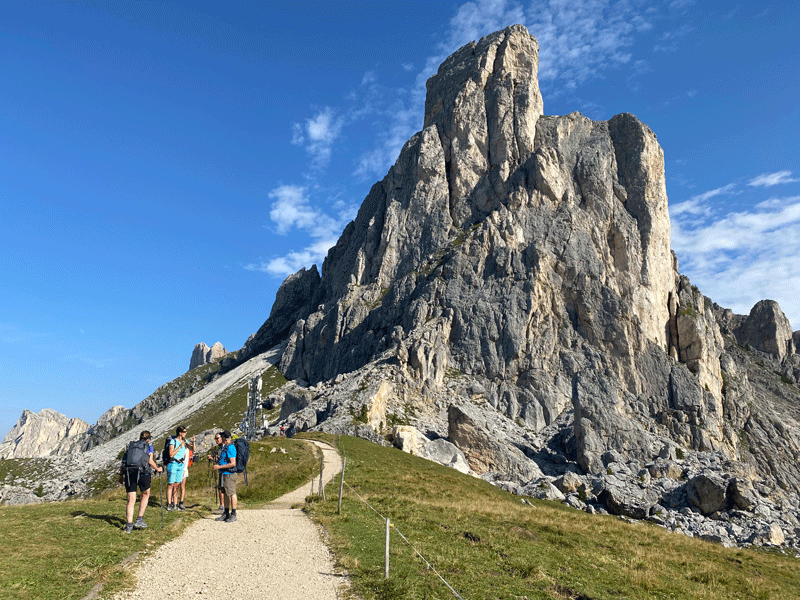
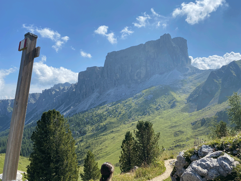
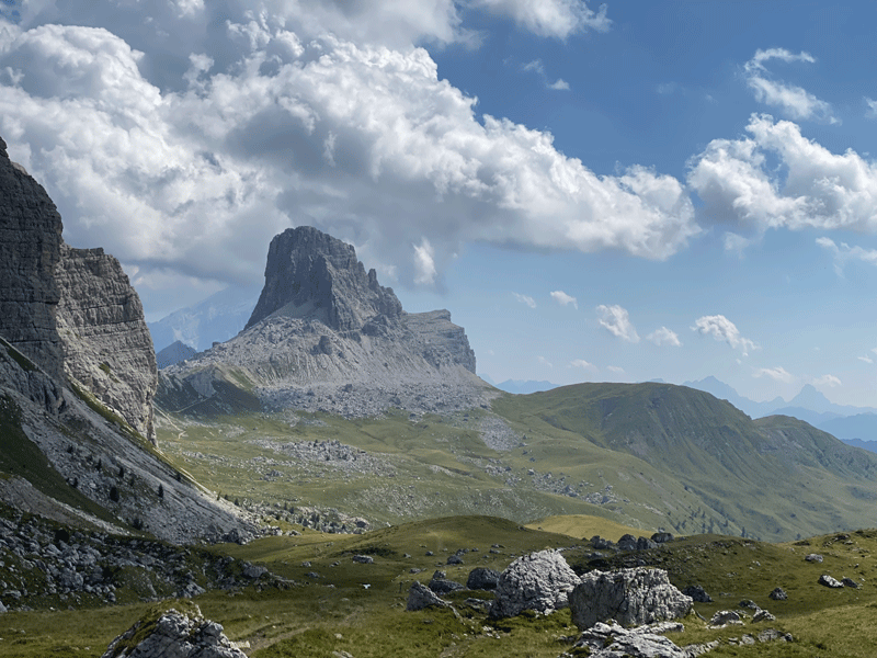
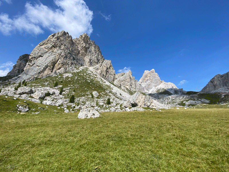
Don't forget to look back! This is Ra Gusela 2,595m
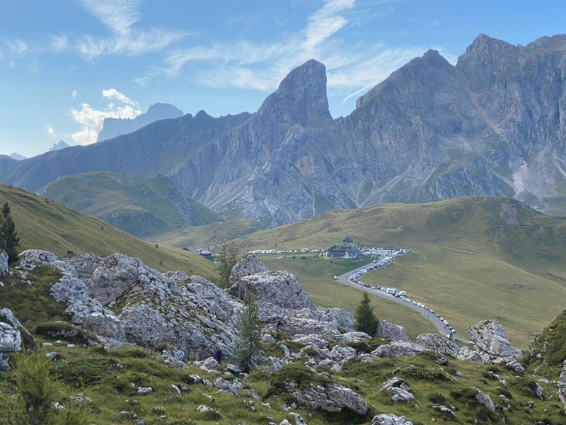
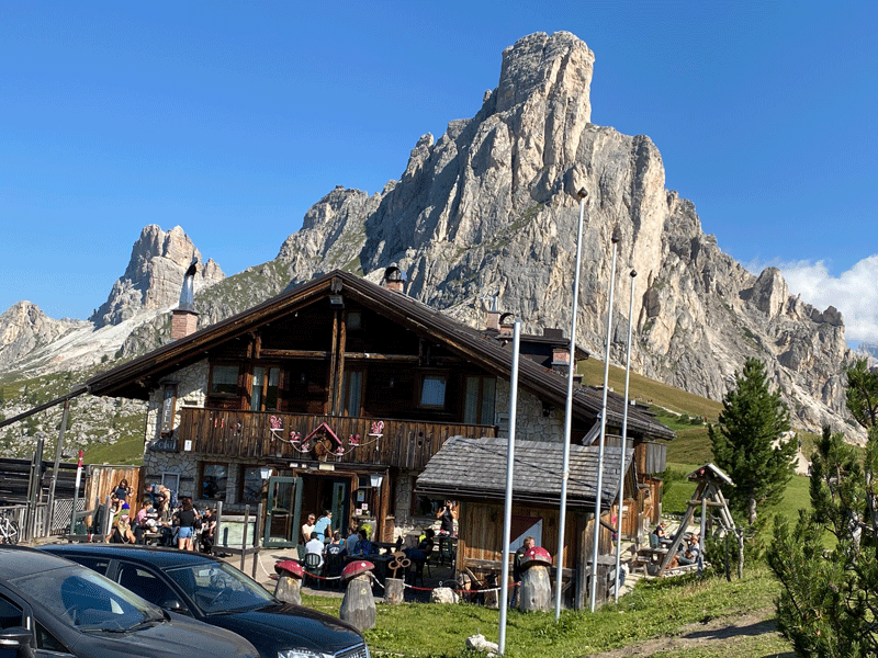
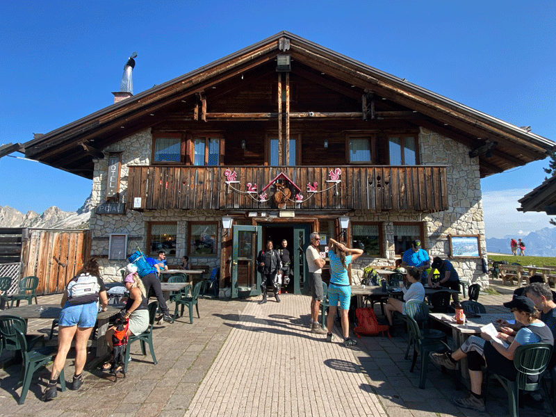
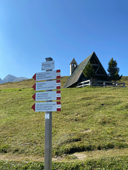
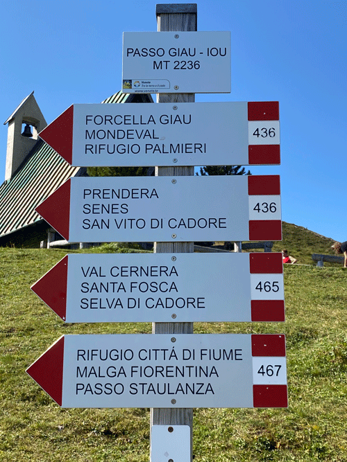
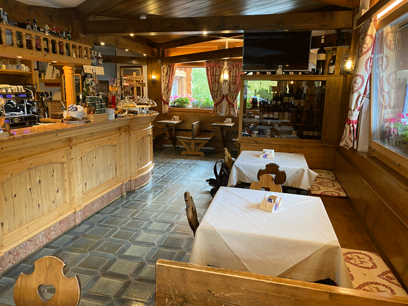
Rifugio Passo Giau
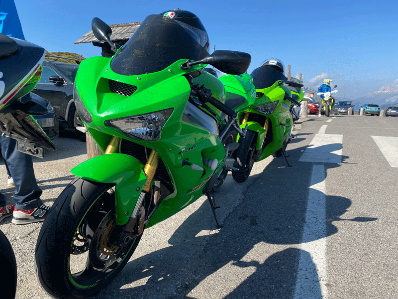
Passo Giau is a mecca for hot bikers who love to scream around the hairpin bends
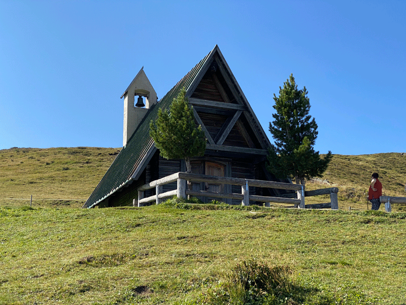
Chiesa di San Giovanni Gualberto
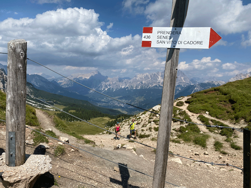
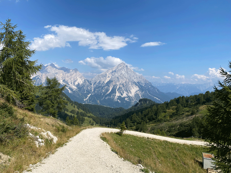
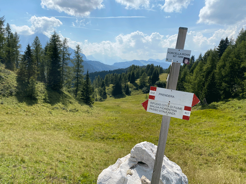
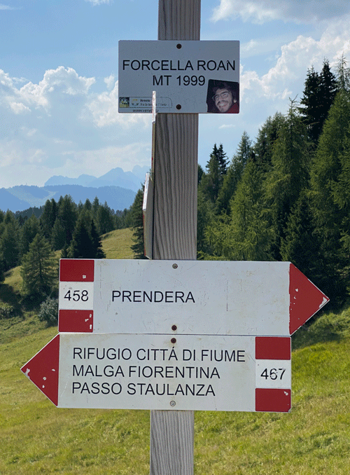
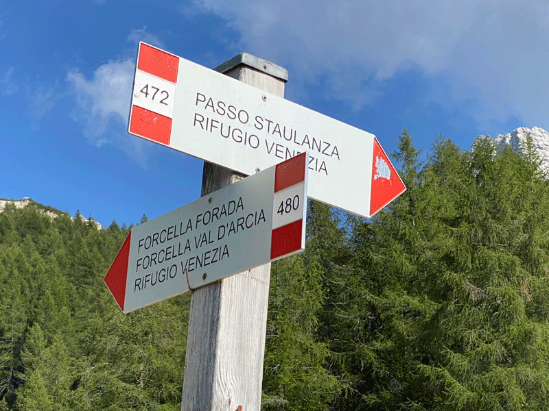
We were headed to Rifugio Citta di Fiume and Passo Staulanza on the 467
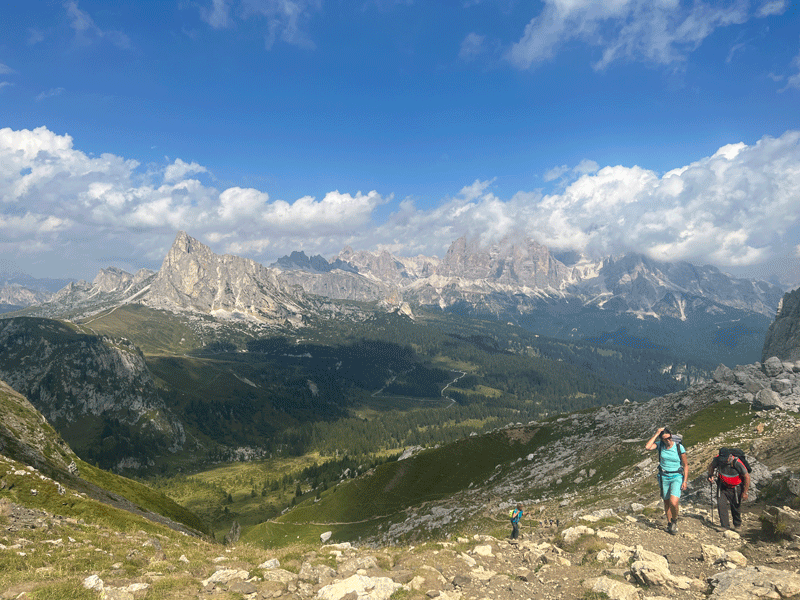
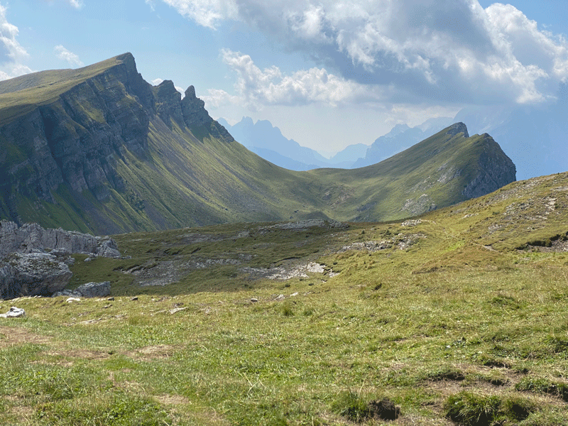
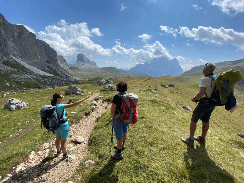
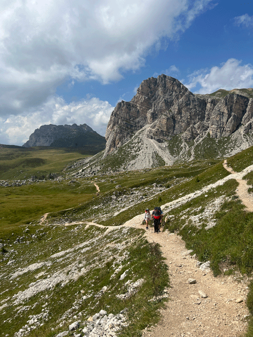
Looking back towards Passo Giau as we continued on our way
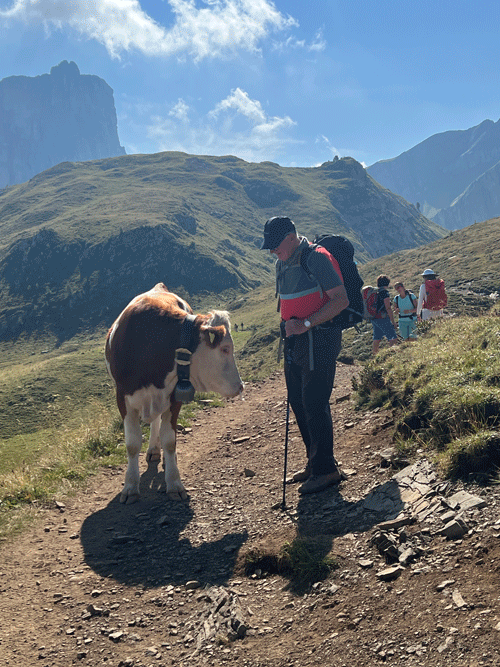
I'm cow #37462, pleased to meet you!
5.83 km 3H06 to this point
6.48 km 3H41 to this point
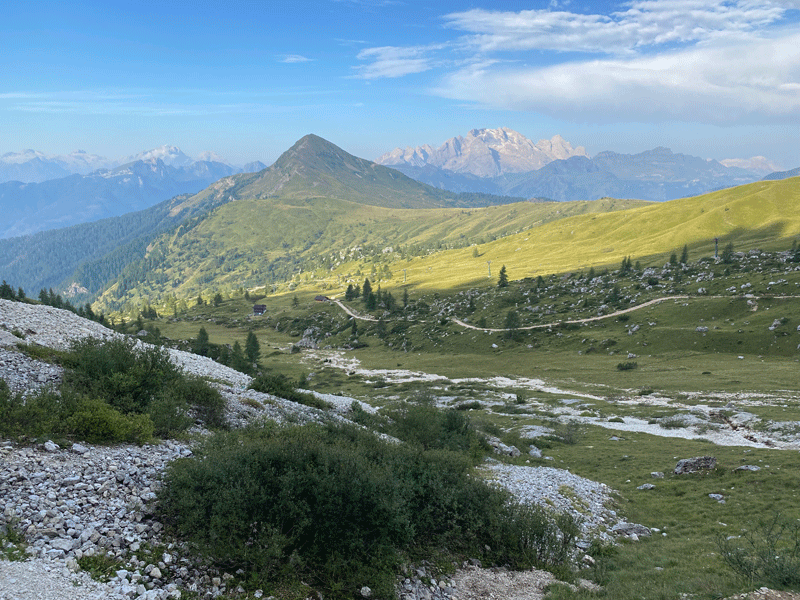
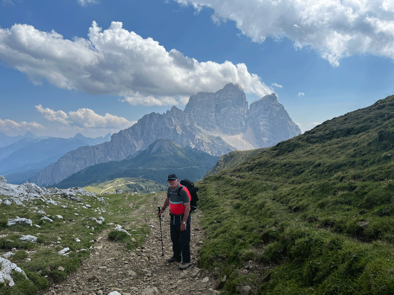
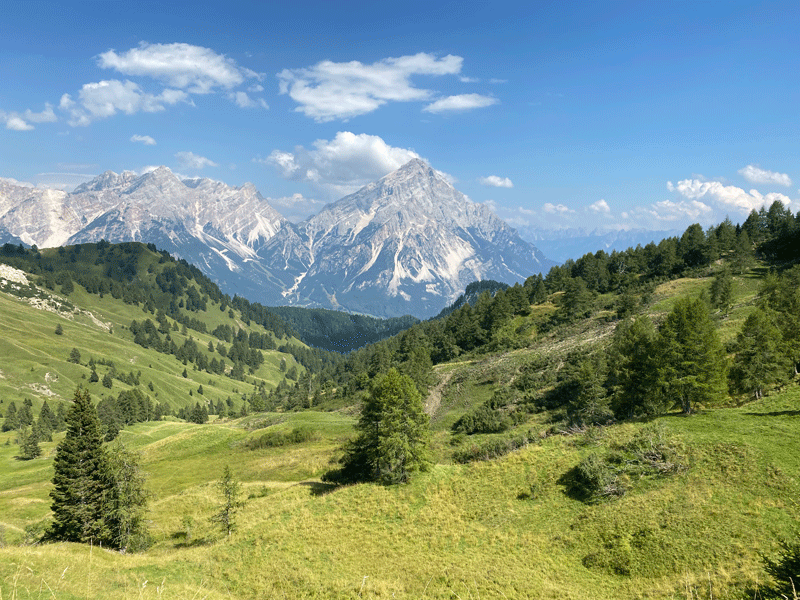
Rifugio Tissi is located at the top of the long diagonal slope ahead. Pelmo is in the background again.
Looking back over our route
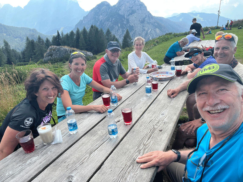
Mick, Kerri, Dinah, Anna. Sandor, Ken & Maura
Donkeys
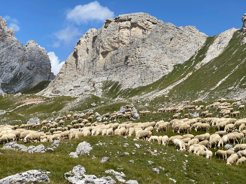
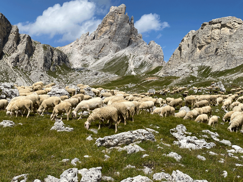
A flock of over 1000 sheeps
8.58 km 4H58 to this point
Courtesy of www.valboite.bl.it
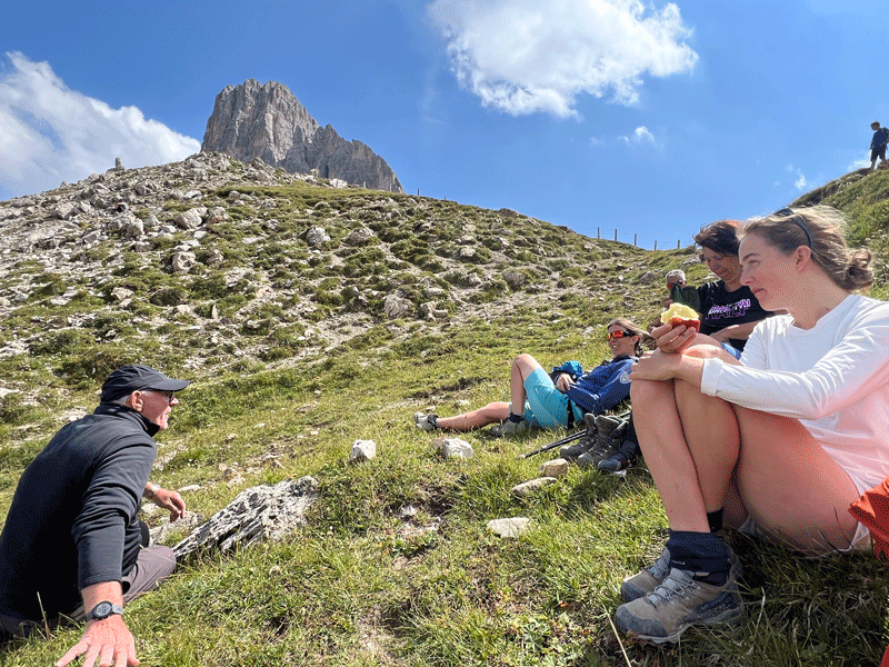
It was quite windy at this col, so we dropped down to find a suitable place for lunch
Our lunch spot. Could that possibly be Mick telling another joke?
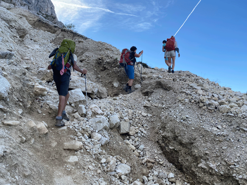
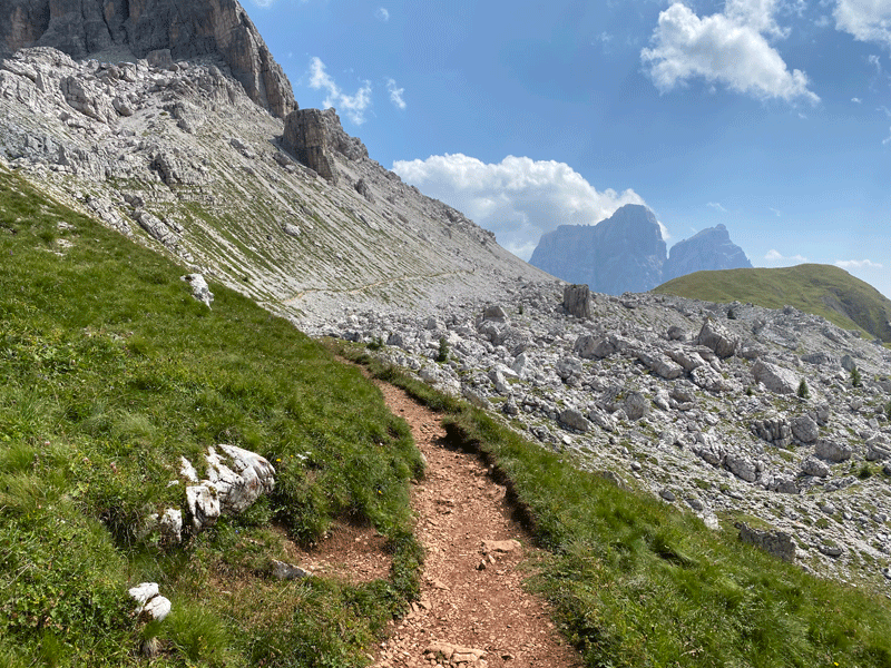
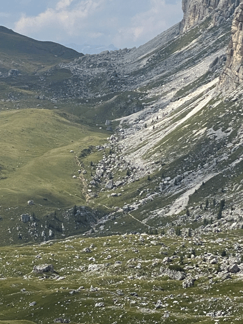
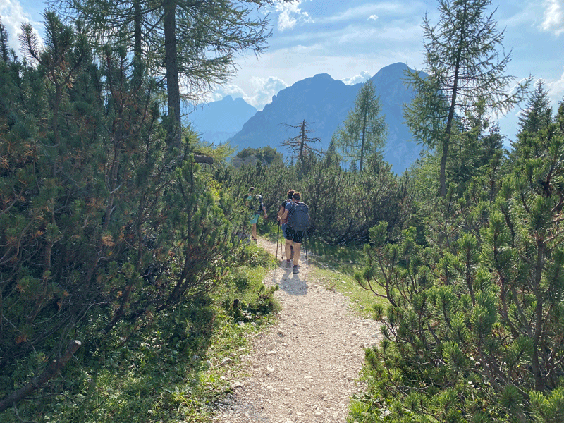
Off again. You can just see the path contouring across the scree field
I feel climbing coming on!
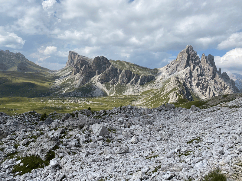
Antelao 3,264m
Pelmo
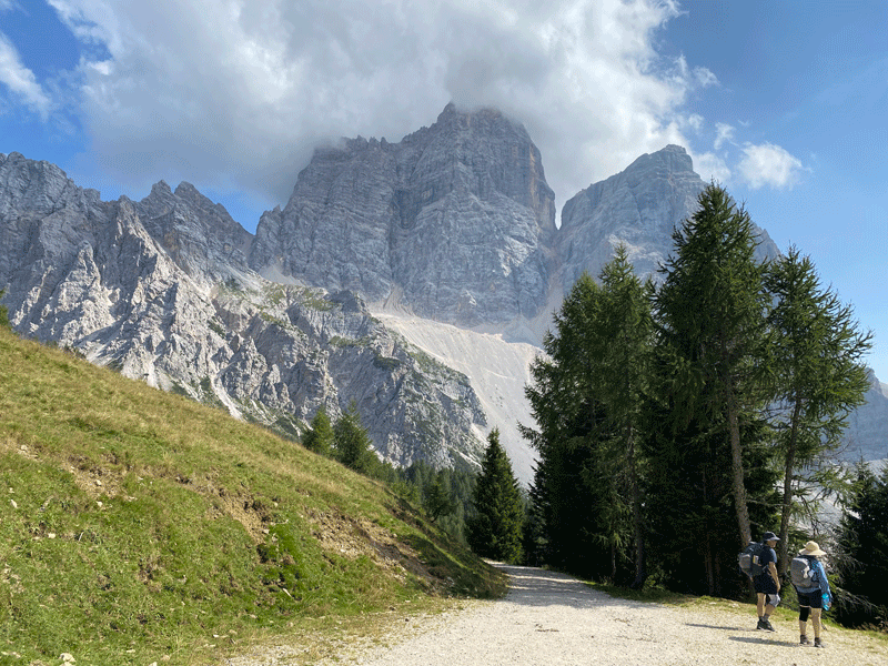
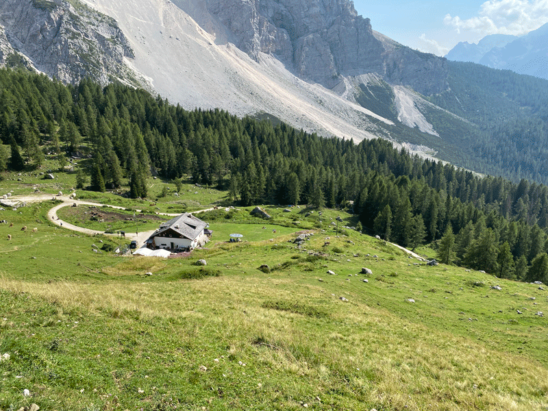
First sighting of Rifugio Citta di Fiume
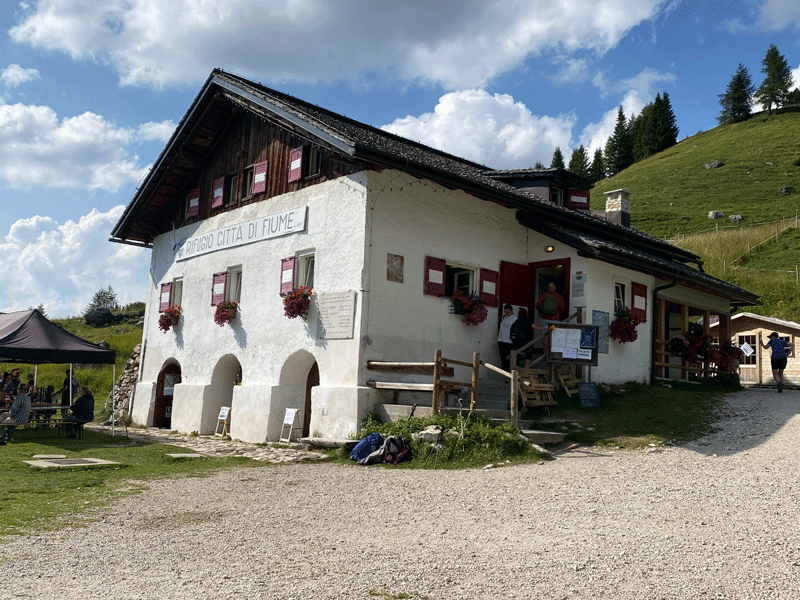
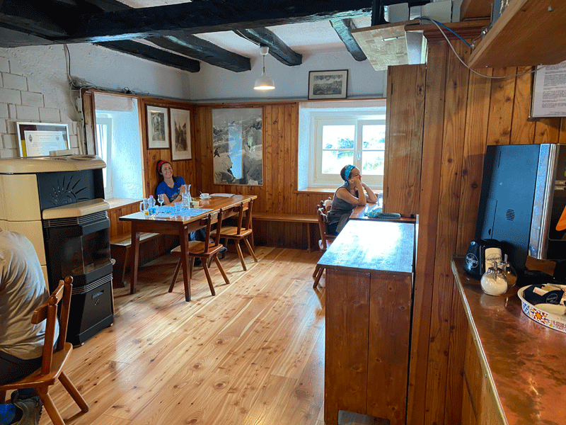
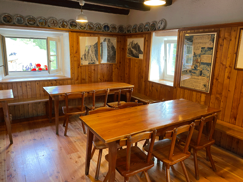
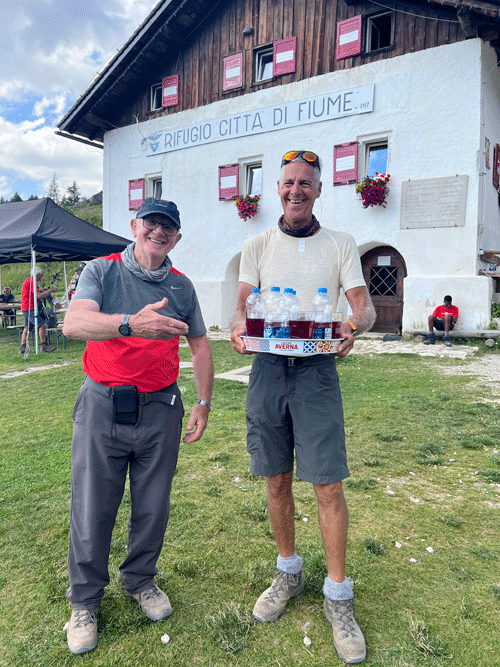
Rifugio Citta di Fiume 1,918m
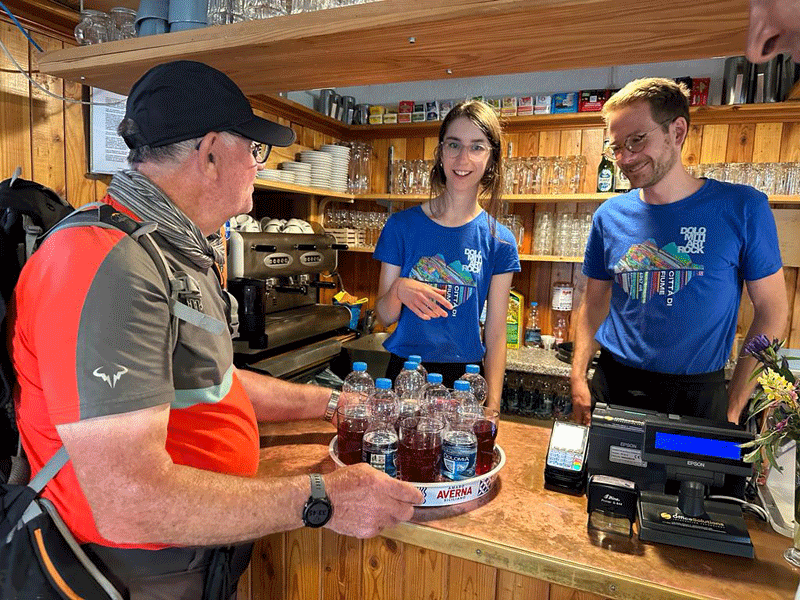
Celebratory skiwassers all round!
Pelmo
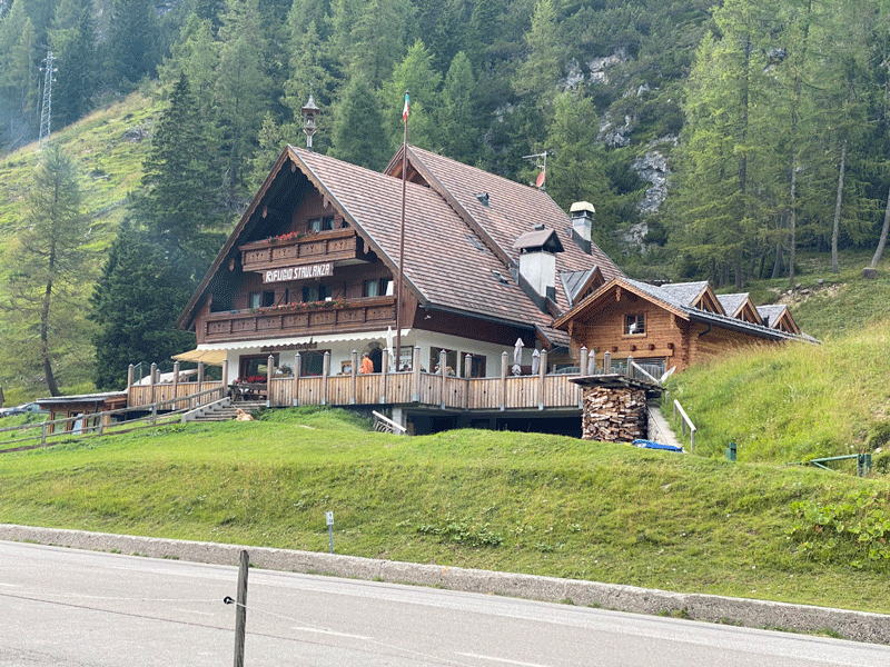
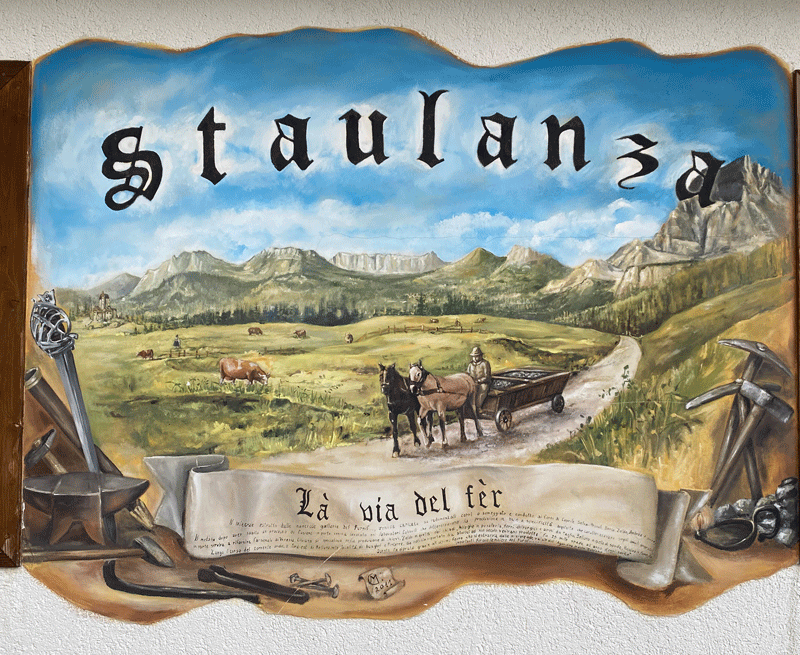
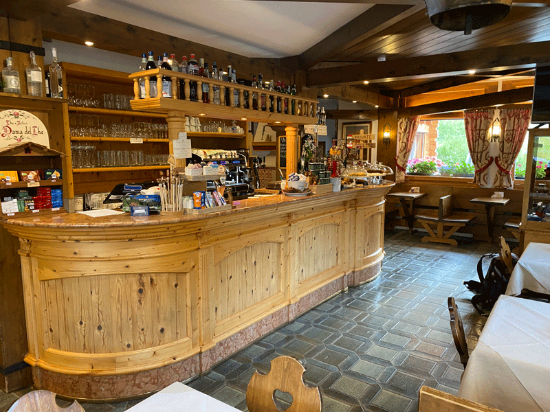
Rifugio Staulanza 1,783m
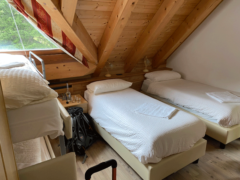
We had 2 rooms: this is the "boys" room
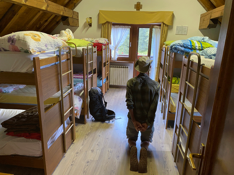
This is the normal bunk room. This chap was doing yoga
|
||||||||||||||||||||||||||||||||