| About | Home | Recent Activities |
|
Hiking Statistics
|
||
|
Narrowboating |
River Cruises |
Travel |
| Cornwall | Morganeering | Copyright |
Sunday 27th August 2023
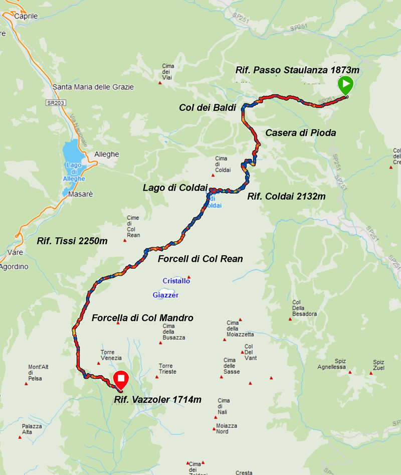
Map courtesy of Garmin
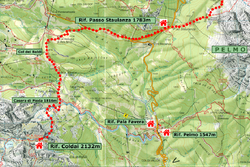
Base map courtesy of Tabacco Maps
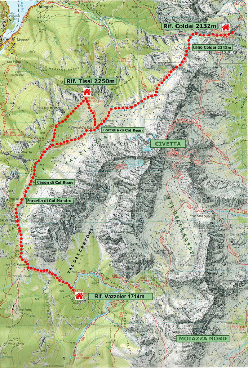
Base map courtesy of Tabacco Maps
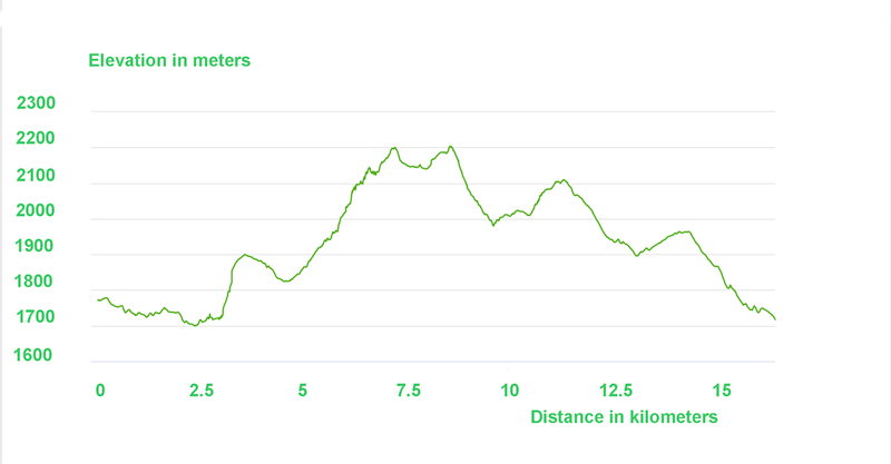
Elevation diagram courtesy of Garmin
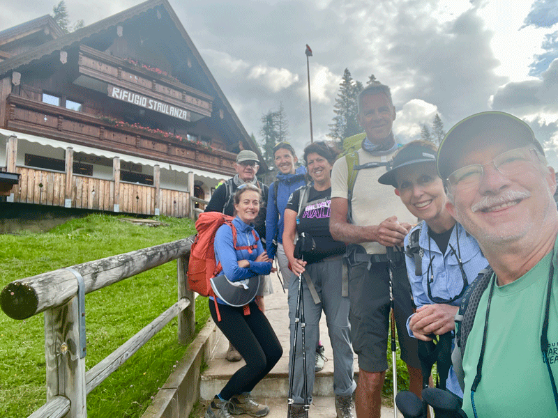
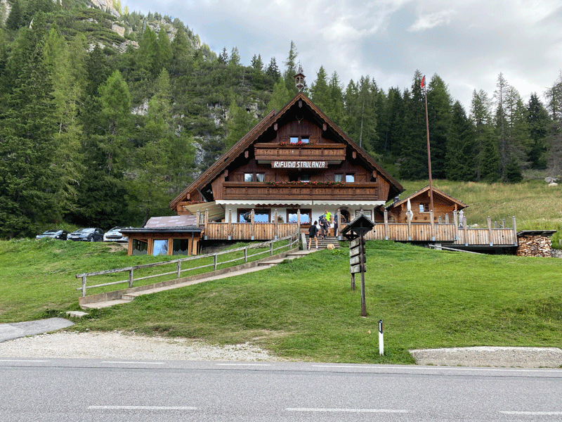
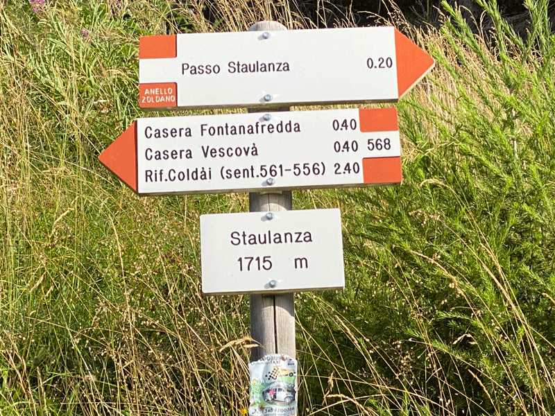
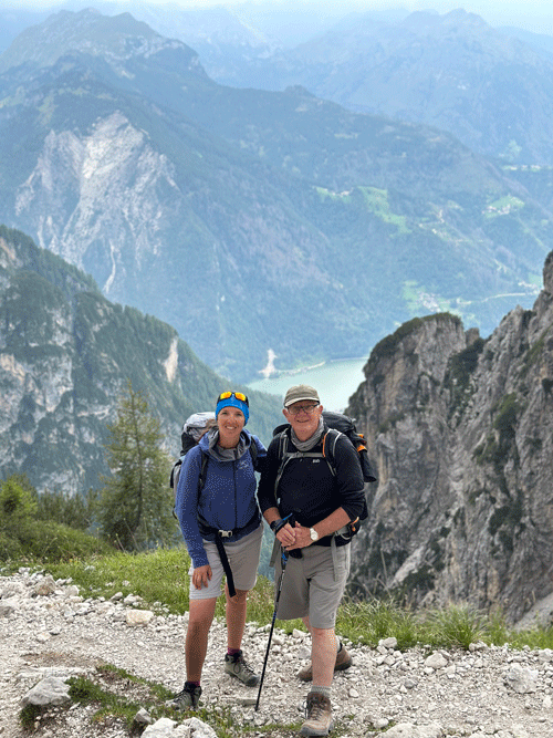
Ready for off...... 08:40 hrs
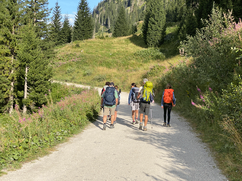
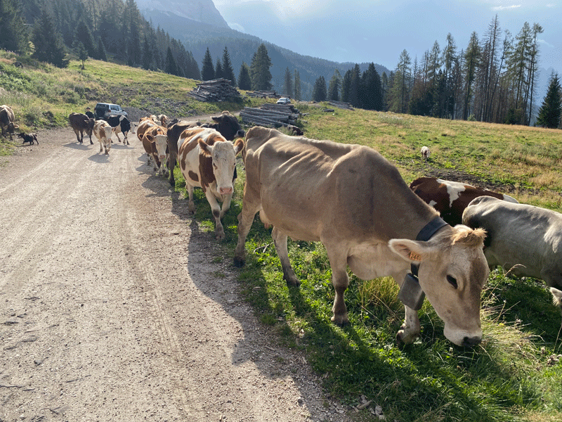
We walked along the left hand side of the road for a kilometer or so, before crossing to pick up a gravel track
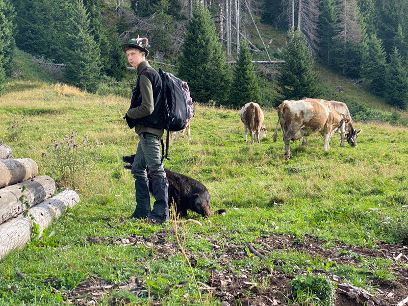
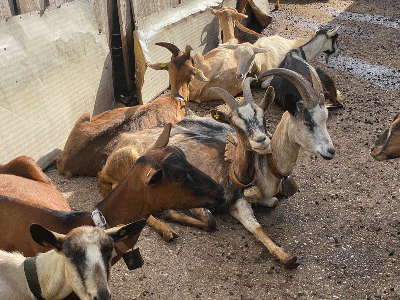
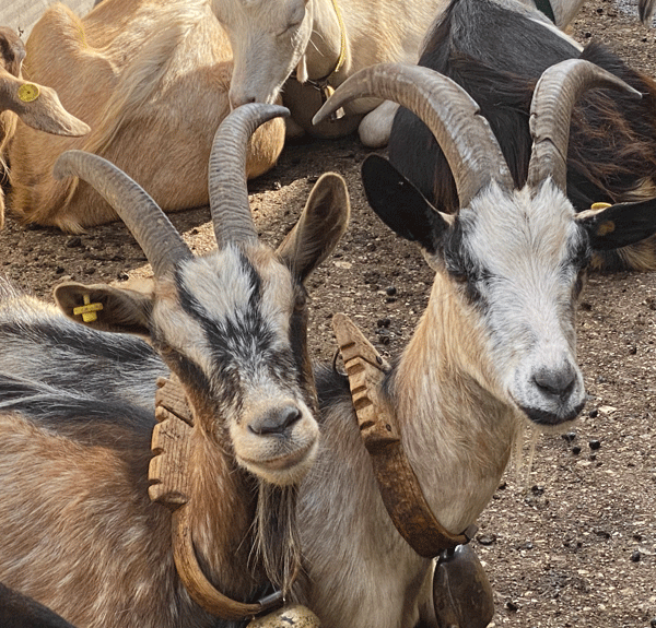
One man and his dog looking after the herd of cows
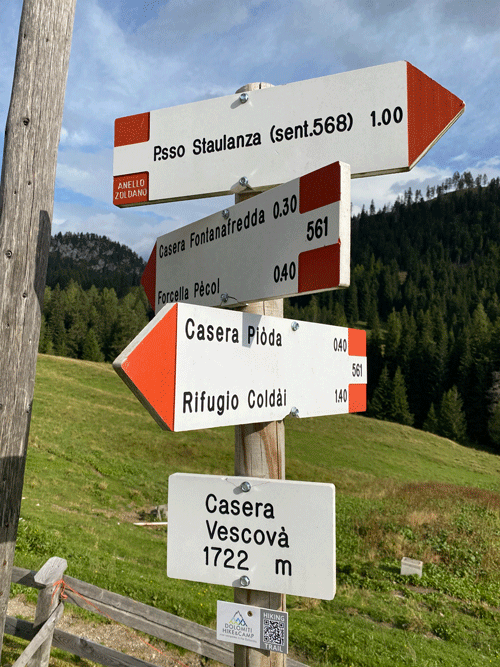
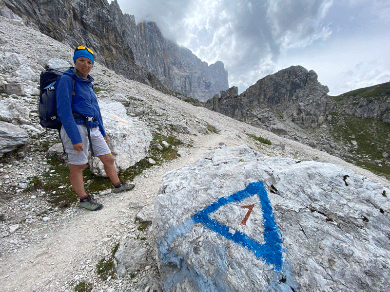
Casera Vescova 1722m
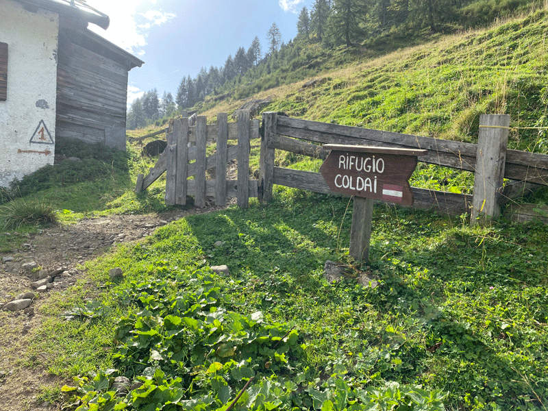
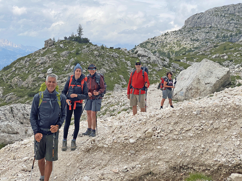
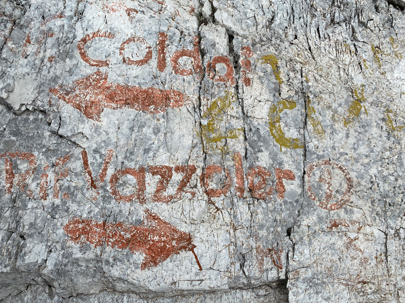
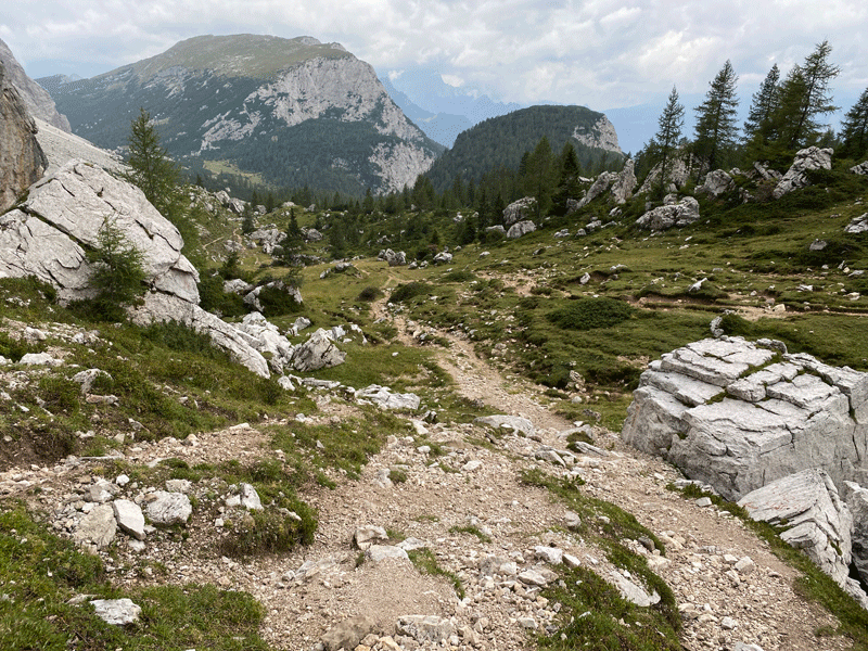
Onwards towards Rifugio Coldai
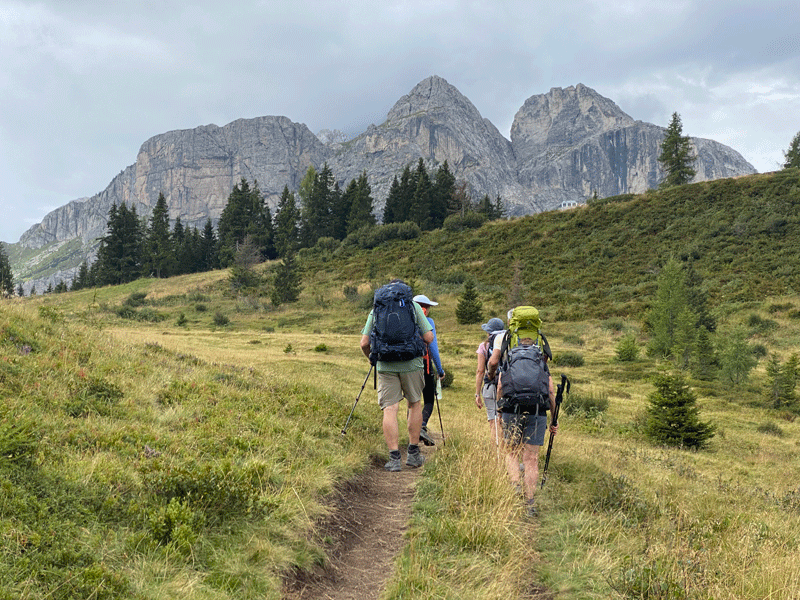
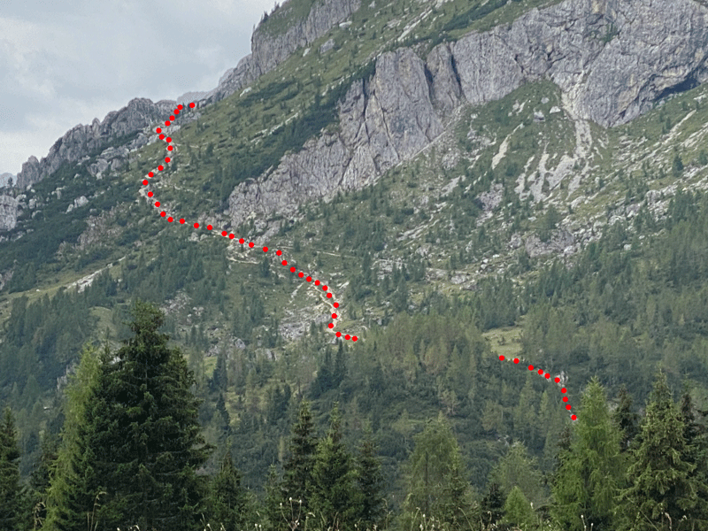
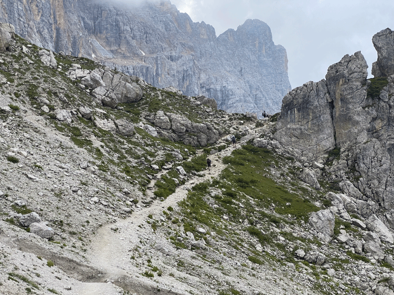
The climb up to Rifugio Coldai
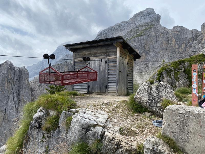
The cage and ropeway they use to get supplies to the rifugio
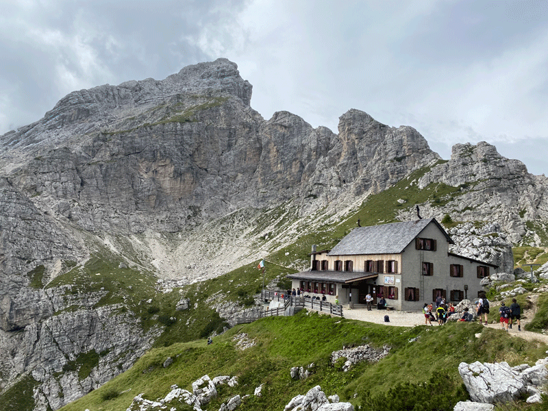
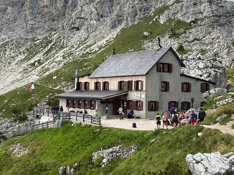
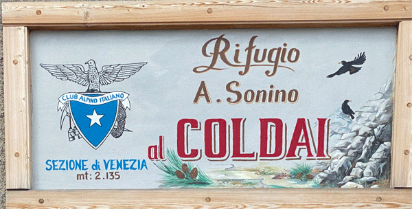
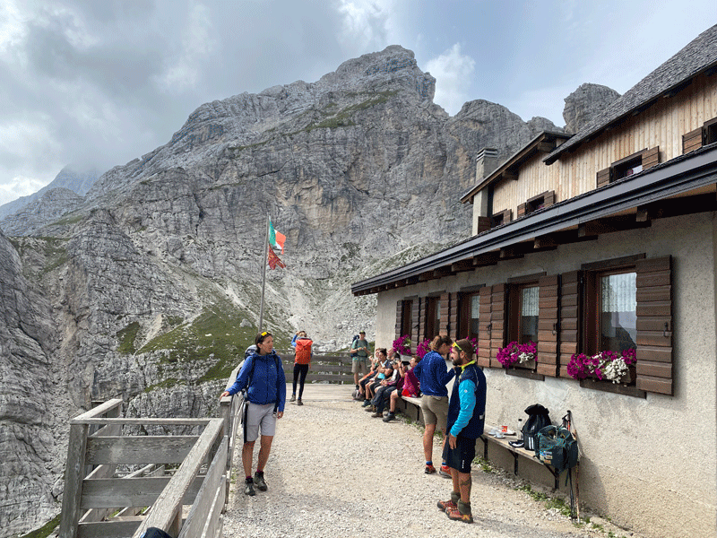
Rifugio Coldai 2,135m
6.58 km in 4H00 to this point
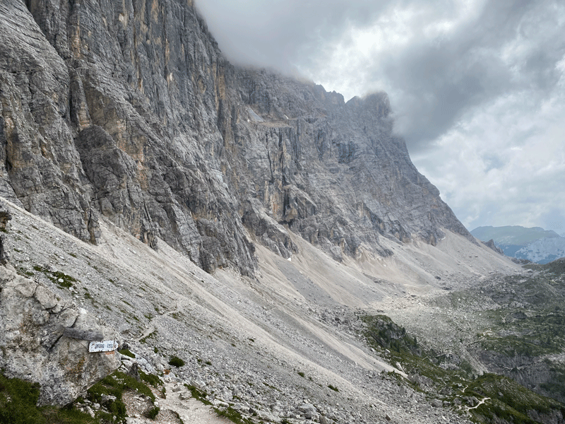
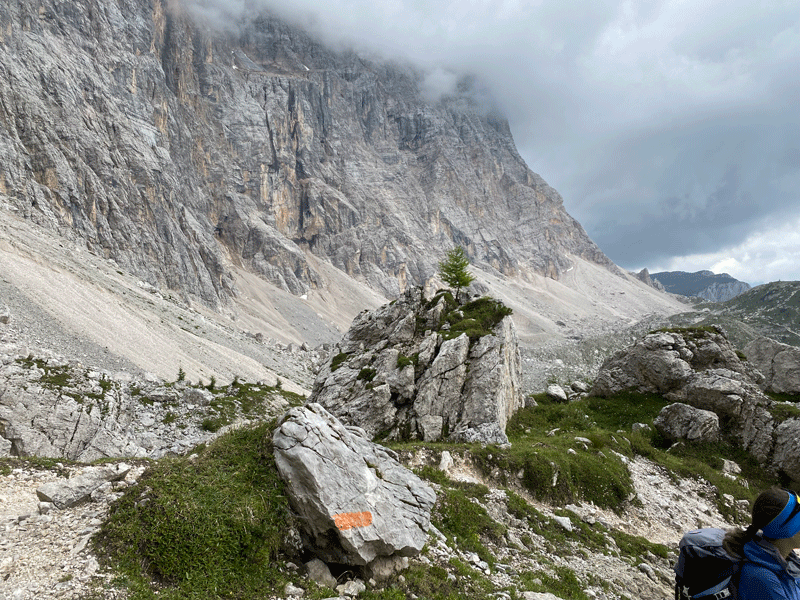
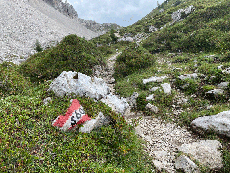
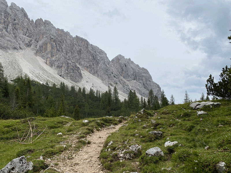
The path beyond Riugio Coldai
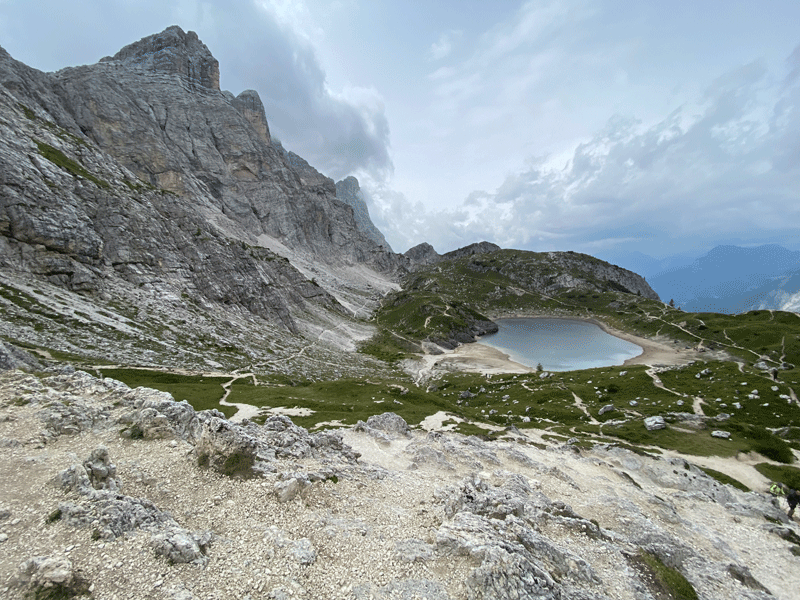
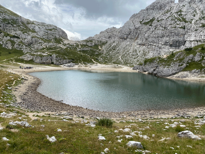
Lago di Coldai
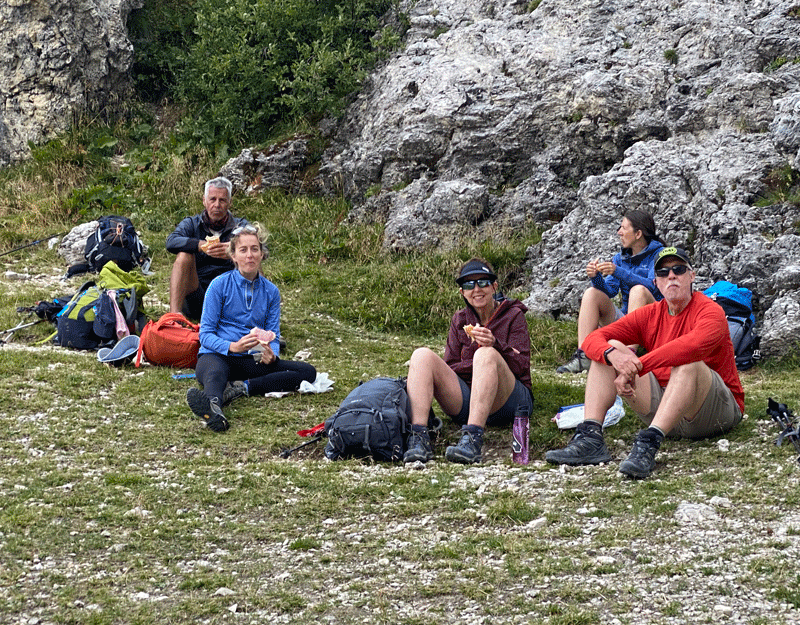
Time for lunch
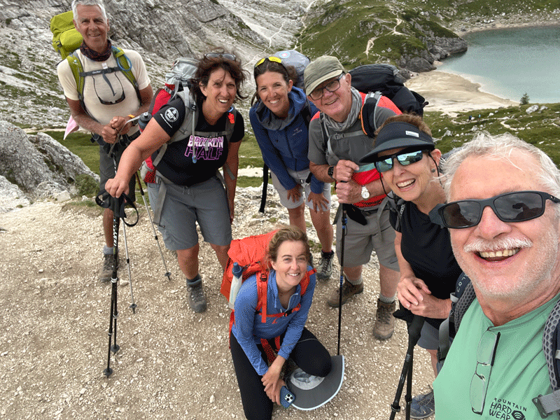
I fear this is Mick telling another joke!
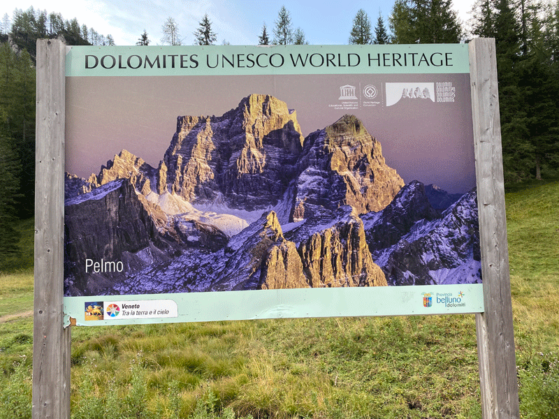
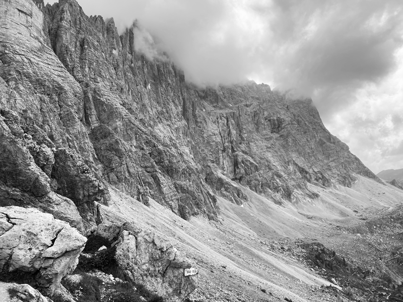
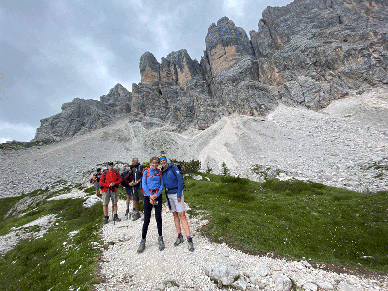
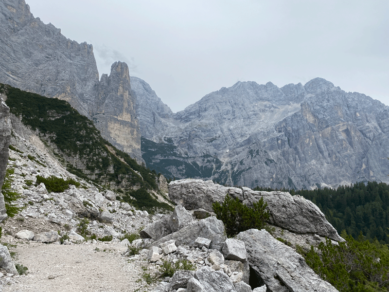
The Civetta on the left
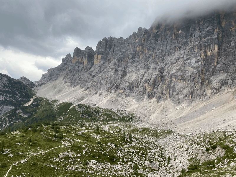
Looking back, with the Civetta on the right
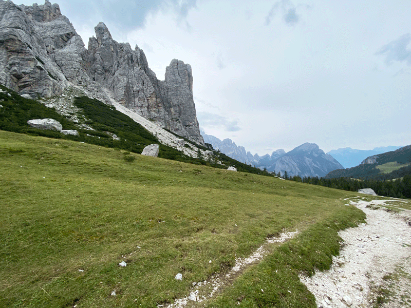
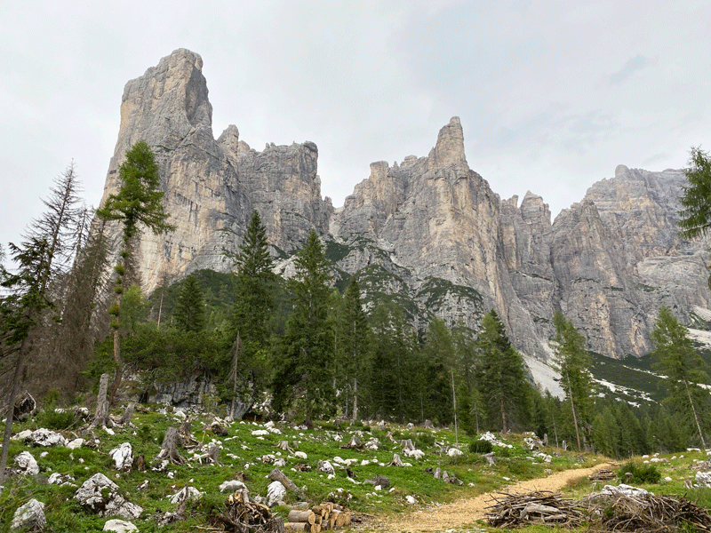
Probably Moiazza Nord ahead
Definitely in for a change of weather!
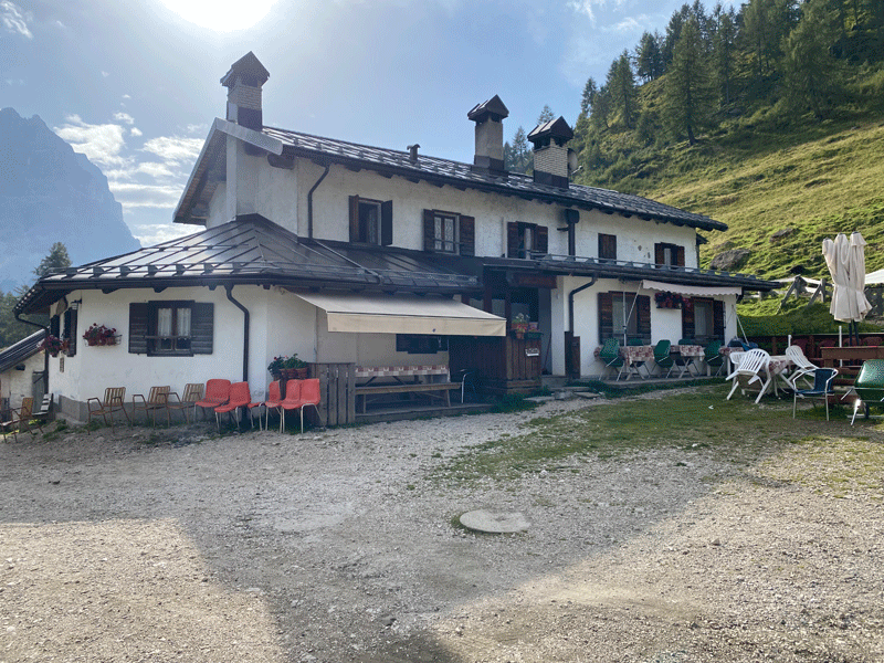
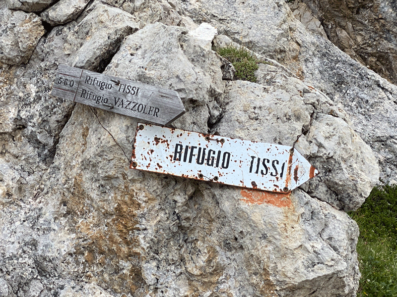
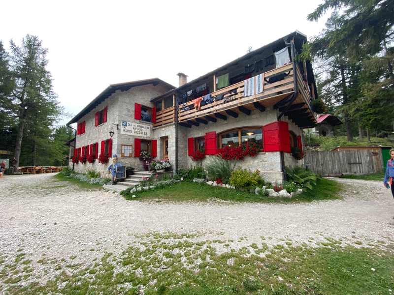
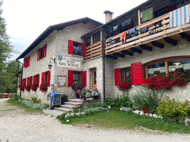
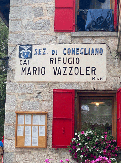
Rifugio Vazzoler 1714m
Spaghetti Junction
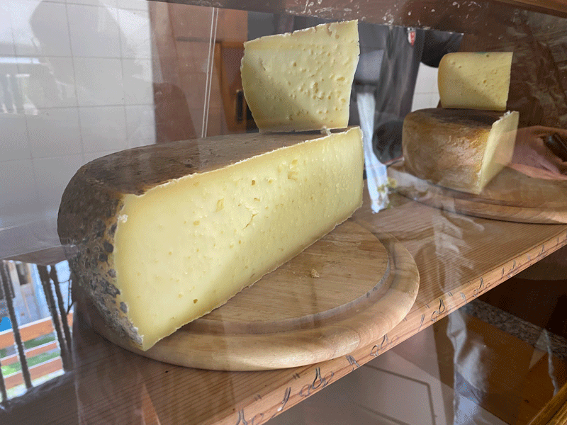
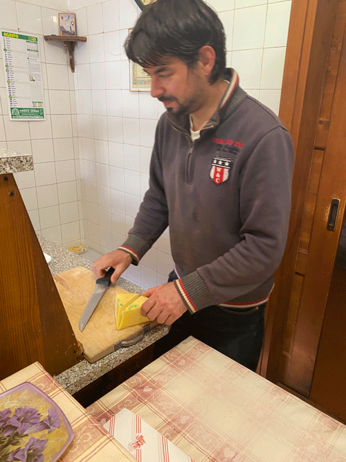
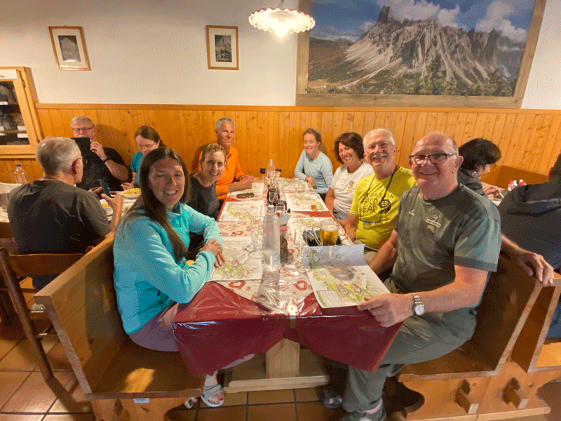
Dinner
|
||||||||||||||||||||||||||||||||