Home  

Recent Activities

The Name

Mountain Walks

Pilgrim Walks

Fell Walks

Coast Walks

Other Walks

Strolling

Hiking Statistics

Narrowboating

River Cruises

Travel

Cornwall Cathedrals Copyright


Alta Via Stage 9.

Tuesday 29th August 2023
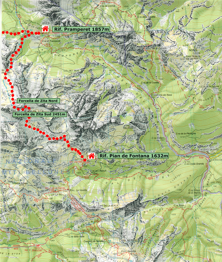
To Rifugio Pian de Fontana


The original plan to get to Rifugio Pian de Fontana is shown below. However due to the inclement weather and the fact that this would have been a big day, including exposed areas such as Forcella de Zita Sud, we decided on an alternative up the Val de Grisol.

Original Plan

Distance Time Elevation in meters

Km
Elapsed
Hrs-Mins
Moving
Hrs-Mins
Gain Loss Min Max
16.7   6H30 1085 1059    


Base map courtesy of Tabacco Maps

Base map courtesy of Tabacco Maps


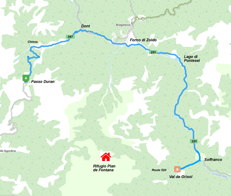
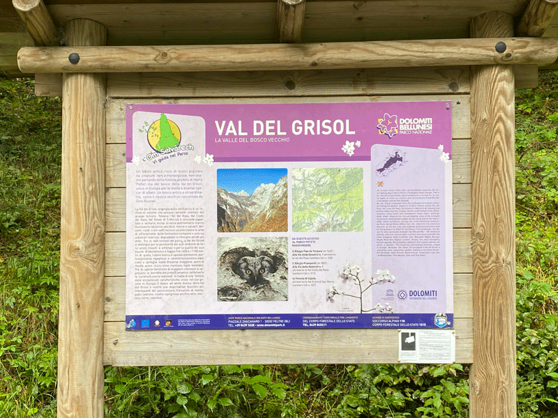
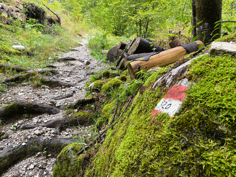
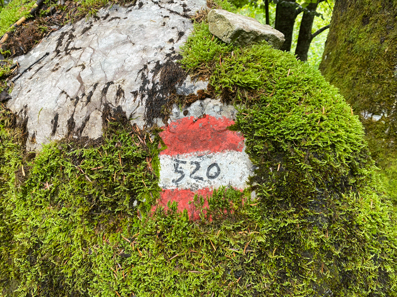
Val de Grisol - Route 520
Distance Time Elevation in meters

Km
Elapsed
Hrs-Mins
Moving
Hrs-Mins
Gain Loss Min Max
6.73 4H11 3H45 (*) 1,113 183 693 1,629


(*) Best estimate


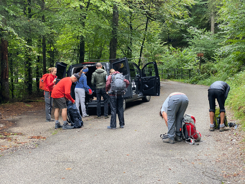
Val de Grisol was 24 km by taxi and took approximately 40 minutes
Courtesy of Michelin Maps

Base map courtesy of Tabacco Maps

Base map courtesy of Tabacco Maps

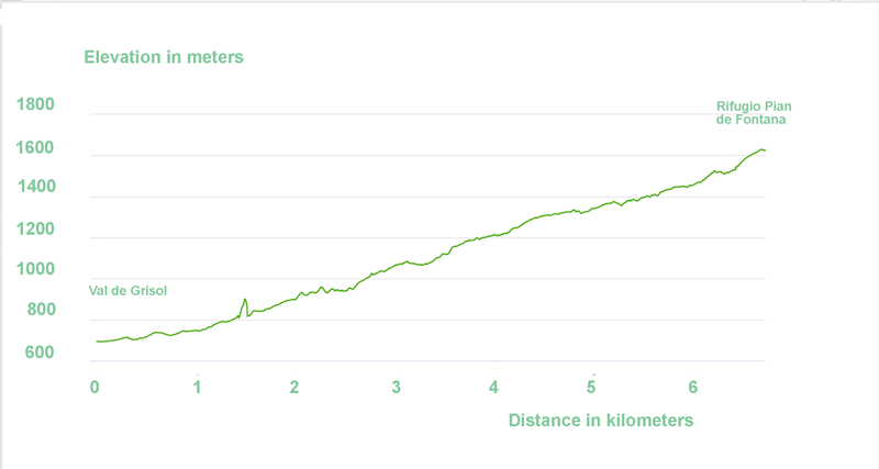
Elevation diagram courtesy of Garmin

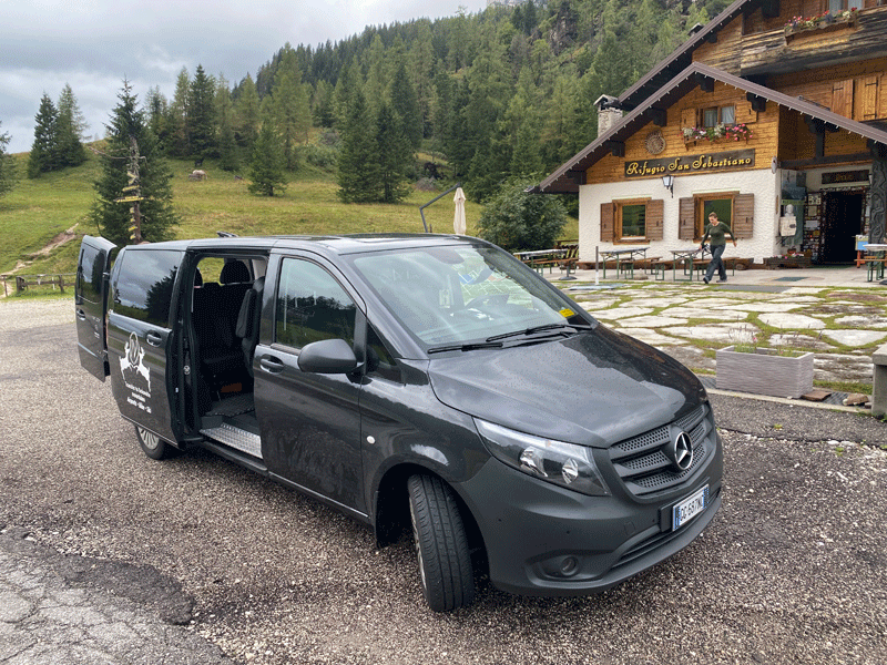
Taxi from Rifugio San Sebastiano

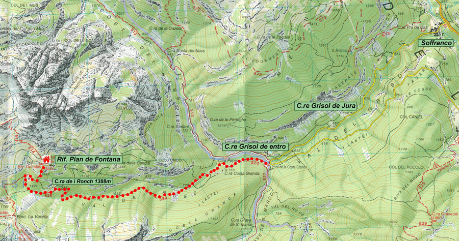
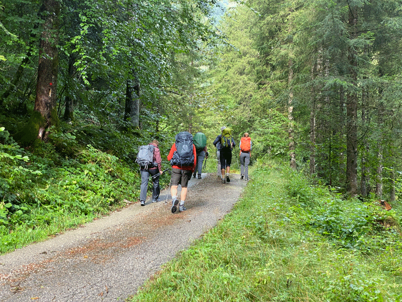
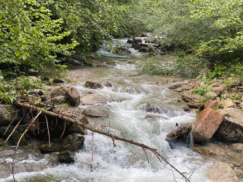
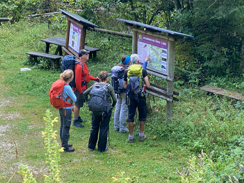
Arriving at our start point..... Val de Grisol. It was 9-45 a.m. when we were ready to start.


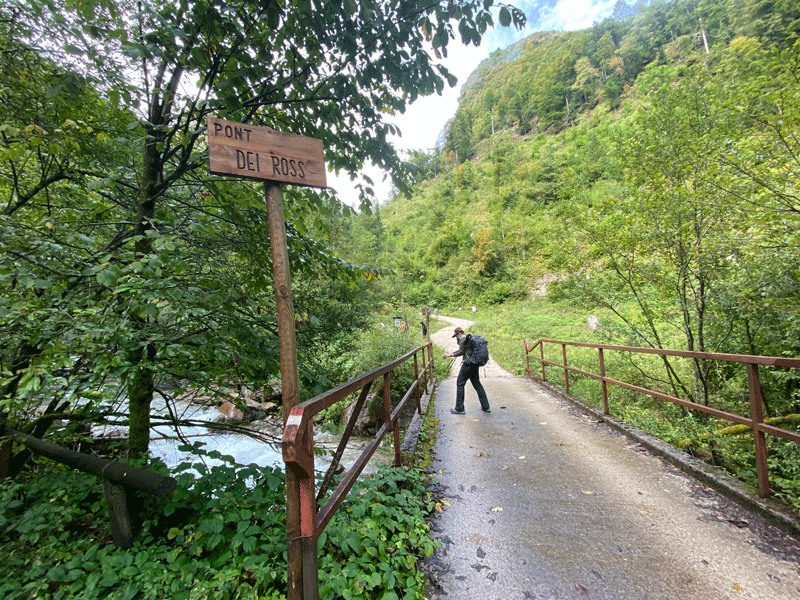
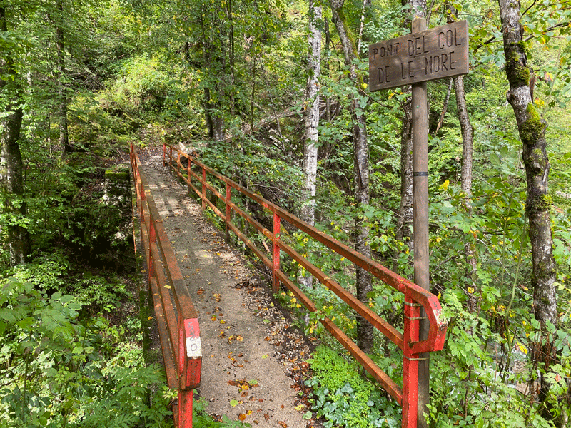
Pont Del Col de Le More


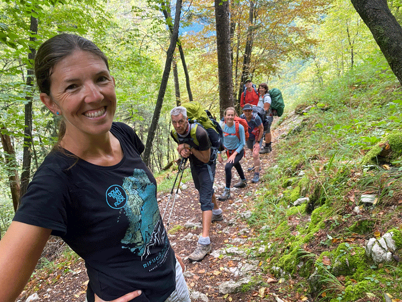
One person smiling...... but the rest look ready for the knacker's yard!
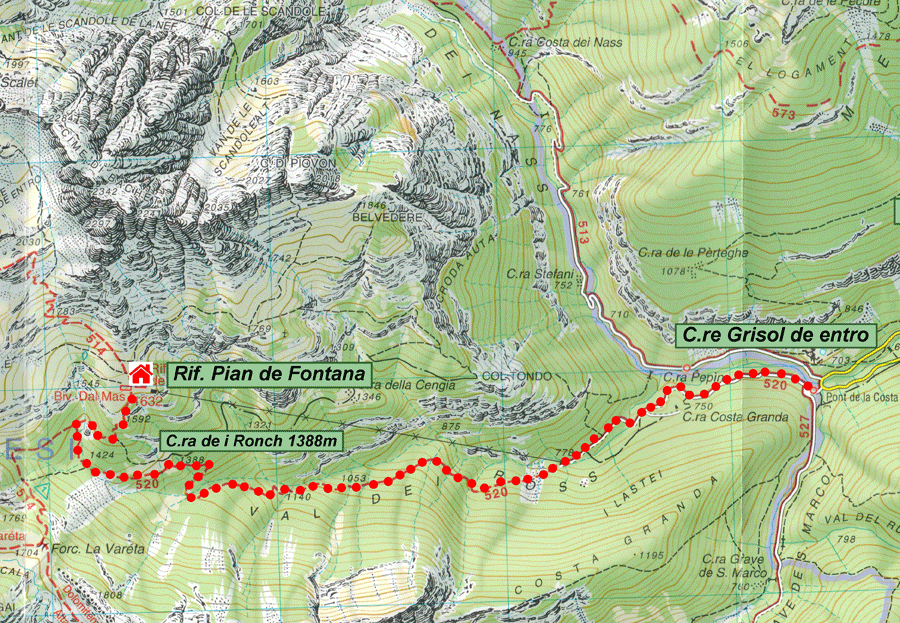
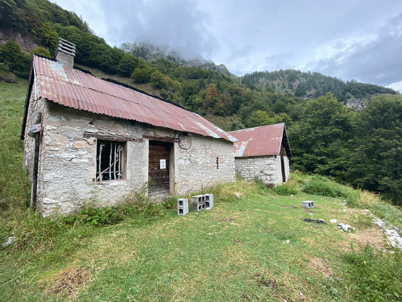
Casera dei Ronch

Structures for summer mountain grazing (shelters for the cattle and the guardians, premises for the preservation, processing, and deposit of the cheese products), in a rather good state of conservation (the structures were recovered in 1945), abandoned since 1958.

Ref:https://www.dolomitipark.it/en/nature-and-history/mankind/architectures/casera-de-i-ronch/

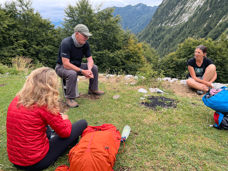
Time for lunch and another joke........ the quality of the jokes is deteriorating day by day!


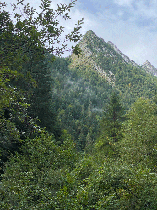
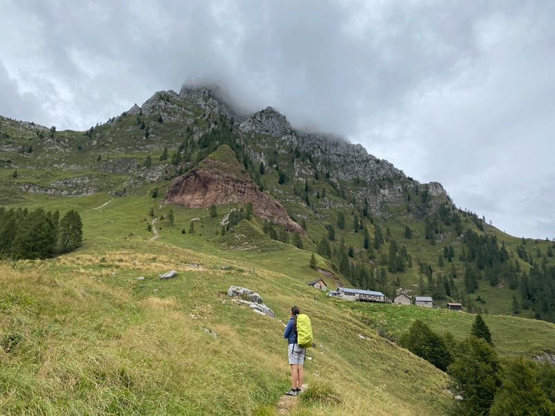
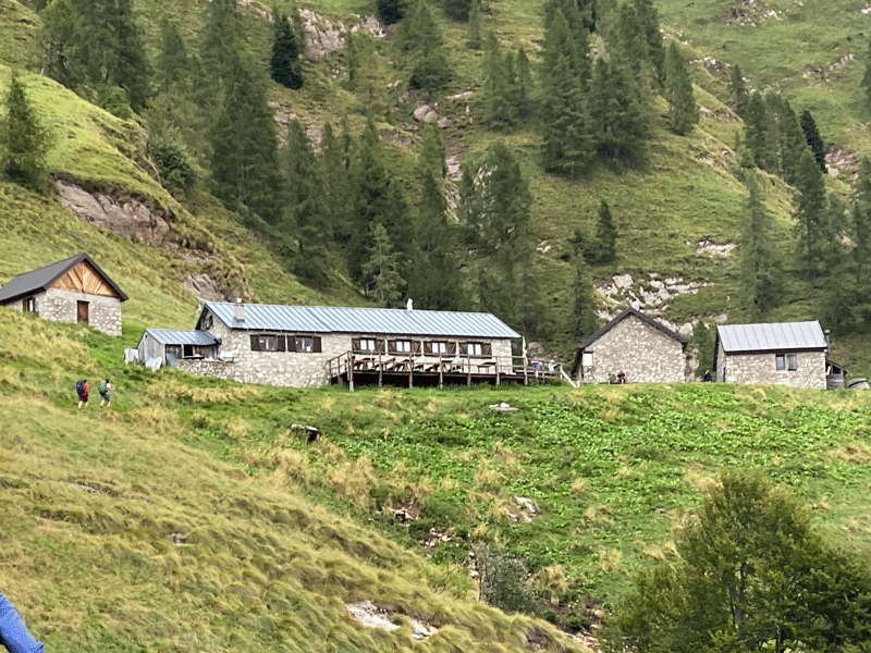
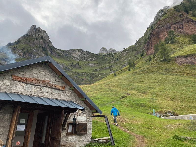
Rifugio Pian de Fontana comes into sight


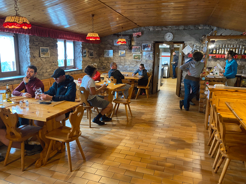
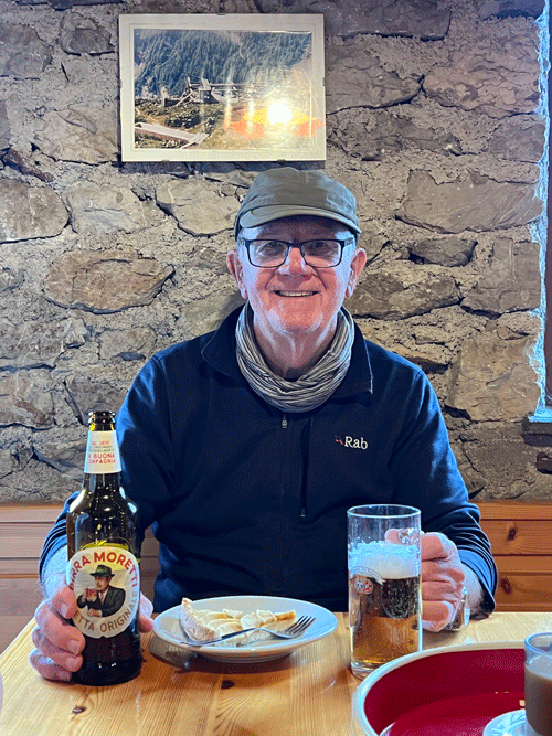
A beer at lunch time and a nap in the afternoon........ what more could you ask for?

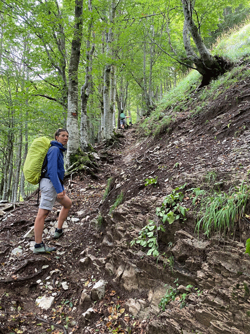
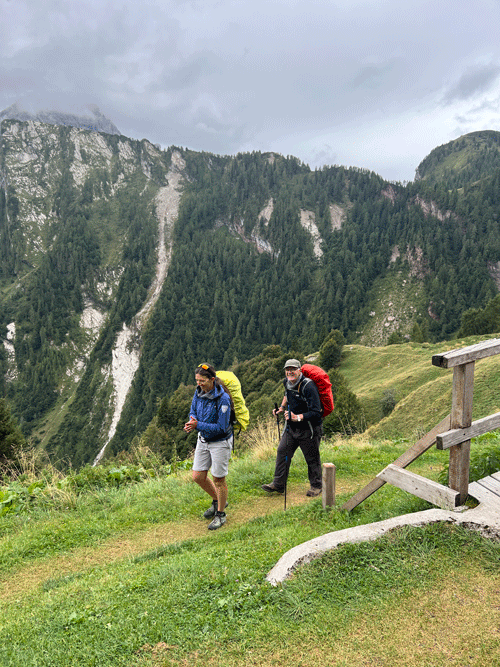
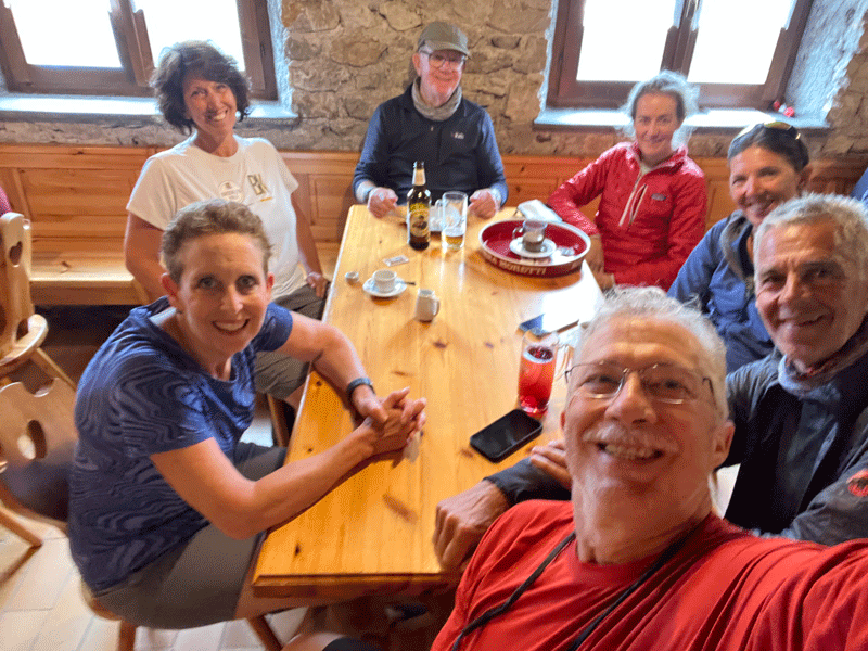
Like the jokes, the quality of the selfies went downhill as well!


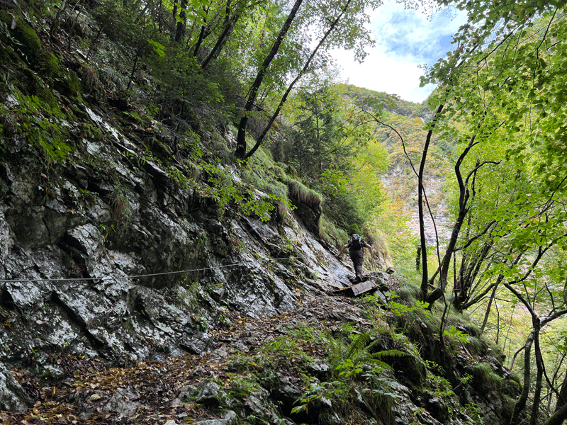
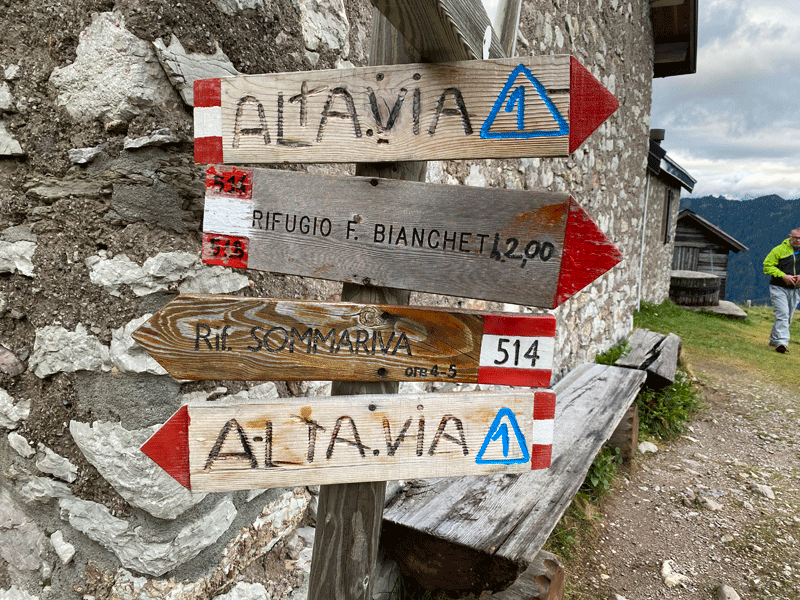
If we had followed the original plan we would have approached Pian de Fontana on Route 514 down this steep slope

Rifugio San Sebastiano - Rifugio Pian de Fontana

For those interested to see what the original route would have been like I recommend you look at Jim Block's website

https://jimblockphoto.com/portfolio/dolomites/san-sebastiano/

It looks a difficult route, and Jim Block fell even in dry conditions. Not the sort of place to be caught in inclement weather and on wet rocks.


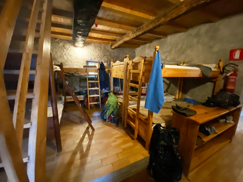
The dorm..... a real obstacle course for those that have to get up in the
dark in the middle of the night to find the loo!