The Hebridean Way
Friday 6th May 2022
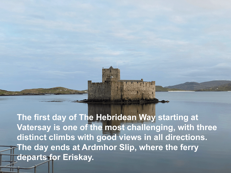
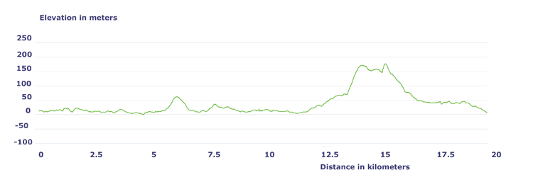
Day 1. Schedule
| Distance |
Time |
Elevation in meters |
Km |
Elapsed
Hrs-Mins |
Moving
Hrs-Mins |
Gain |
Loss |
Min |
Max |
| 24 |
|
7H30 |
620 |
620 |
|
250 |
|
|
|
|
|
|
|
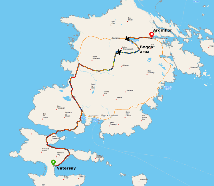
Base map courtesy of www.explore-western-isles.com


Day 1 Actual Walking
| Distance |
Time |
Elevation in meters |
Km |
Elapsed
Hrs-Mins |
Moving
Hrs-Mins |
Gain |
Loss |
Min |
Max |
| 19.49 |
6H00 |
3H54 |
352 |
352 |
0 |
177 |
|
|
|
|
|
|
|

| |
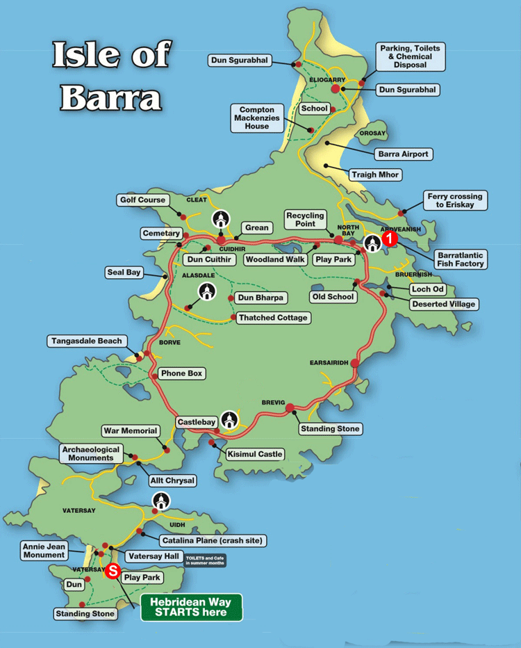
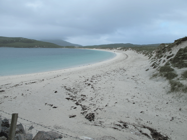
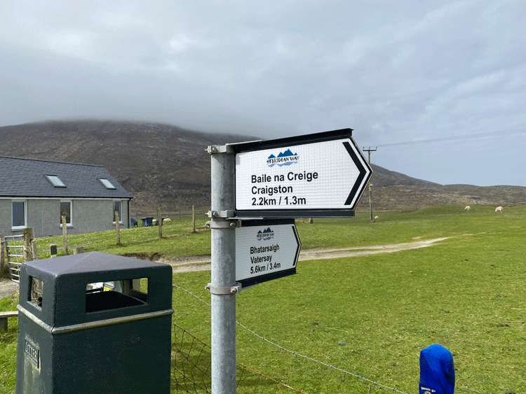
Vatersay
Vatersay lies to the south of Barra, facing Castlebay across the Sound of Vatersay. Only a narrow strip of machair, or sandy grassland and dunes, prevents it becoming two separate islands. It has been the most southerly inhabited island in the Western Isles since 1912, when Mingulay was abandoned. People have lived here for thousands of years, but Vatersay only really began to feature on the map as a result of land reform. By 1906 the island had been owned for many years by Lady Gordon Cathcart, who had visited it just once during the period. Her tenants farmed the whole island as a single holding.
Pressure on land throughout the Western Isles led one man to sail to the island and invoke an ancient right by erecting a thatched dwelling and lighting a fire within a single day. He was followed by others, who together became known as the Vatersay Raiders. Some were rewarded with imprisonment, but in 1909 the Government responded more positively by buying the island and divided it up into 58 crofts. During the 1900s the island became known mostly for rearing cattle, and for lobster fishing. Cattle were transported to market by ferry from Castlebay, but they first had to swim the 250m Sound of Vatersay to Barra. In 1986 a prize bull called Bernie drowned while making the crossing, and long-standing calls for a fixed link to Barra increased.
Construction began on a 250m causeway in 1989, and it officially came into use in July 1991.
(Courtesy of www.undiscoveredscotland.co.uk) |
|
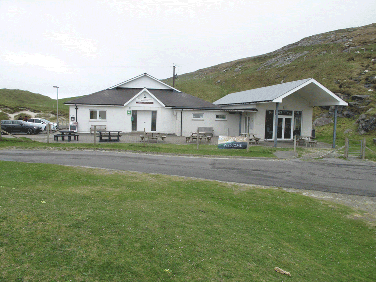
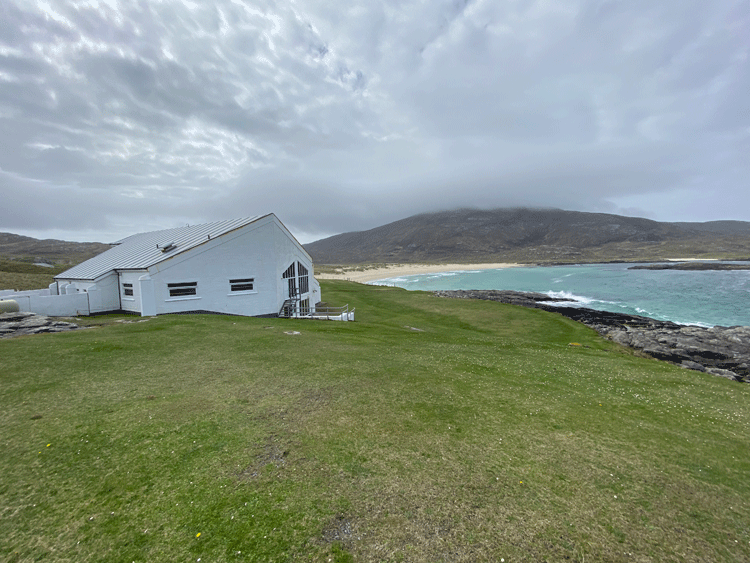
| Vatersay Hall and Cafe is run by the community, for the community. The Cafe has a simple, tasty menu of Homemade soups, sandwiches, toasties, paninis, scones, cakes, tea, coffee and soft drinks. Burgers and fries are available during summer. |
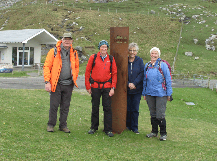
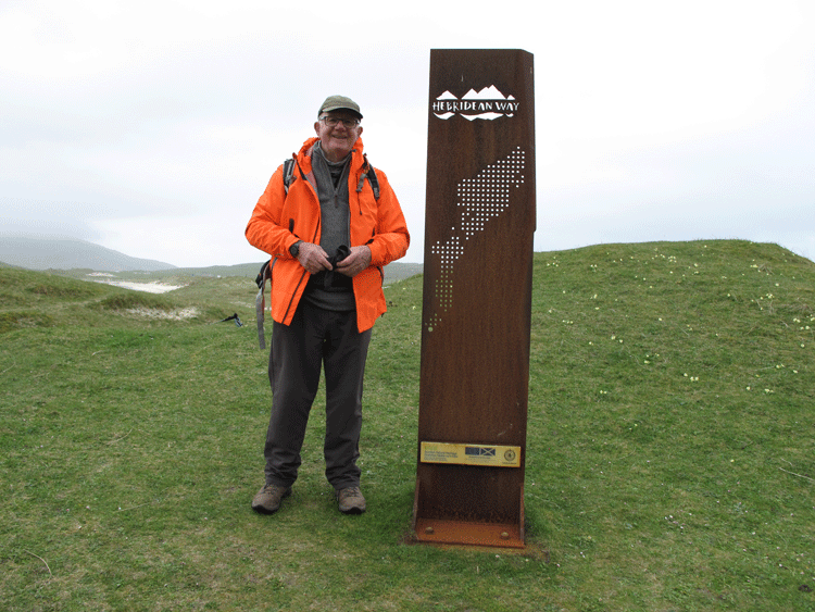
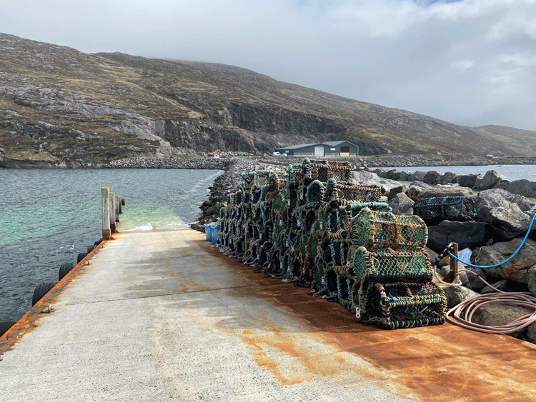
Start of the Hebridean Way at Vatersay
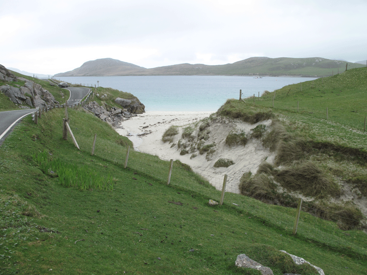
Looking back to the start point
| |
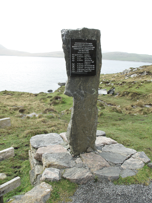
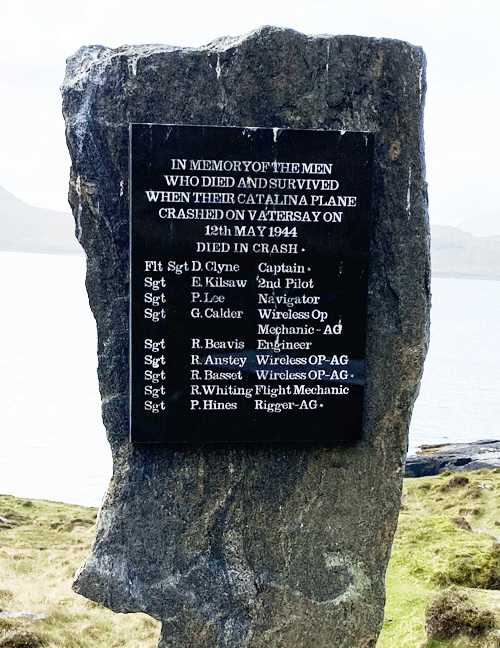
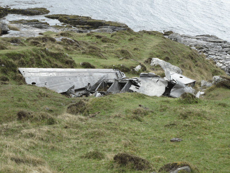
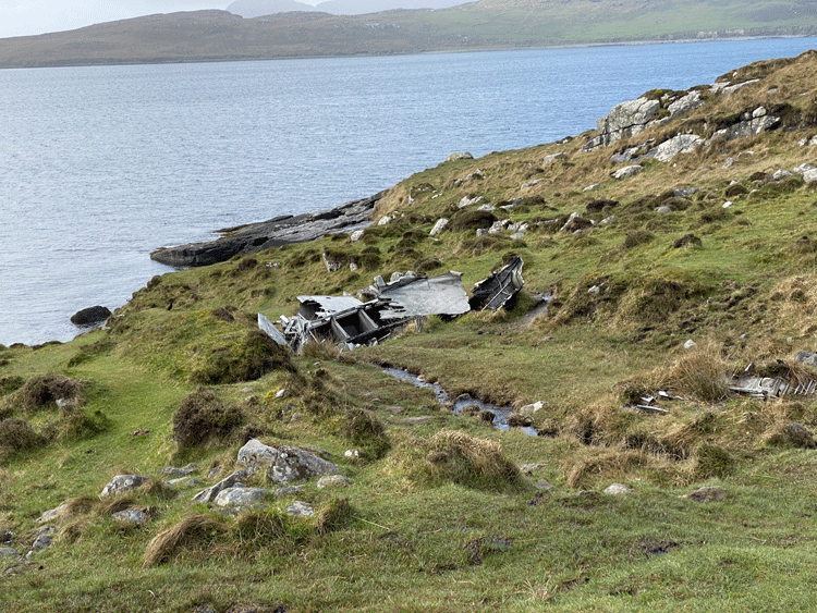
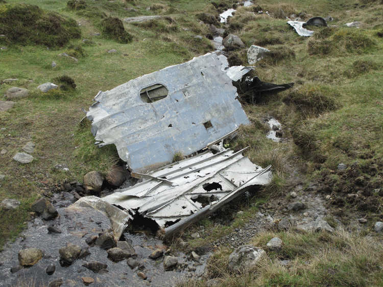
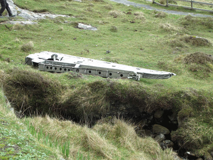
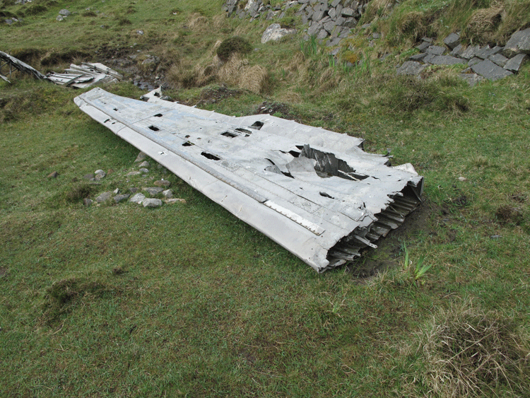
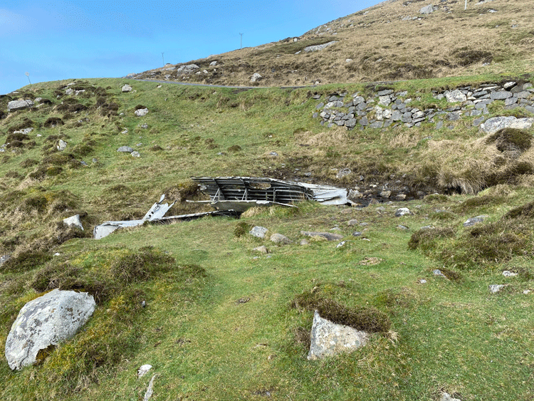
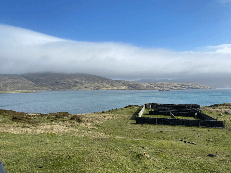
Catalina Crash Site
Undoubtedly the remote location of this site at the very southern tip of the Western Isles accessible only by ferry or flight from the UK mainland has contributed to the lack of interference with the wreckage parts, despite being so near to a road, and so well-publicised. .
The Catalina crashed into the 172m high hill of Heiseabhal Beag on Vatersay, and all of the wreckage has subsequently ended up lying at the bottom of the hill on its eastern flank, between the public road that runs through Vatersay and the shoreline of Vatersay Bay. Remarkably 6 crew survived the crash. There is also a memorial to the victims of the crash at the site.
(Courtesy of www.edwardboyle.com) |
|
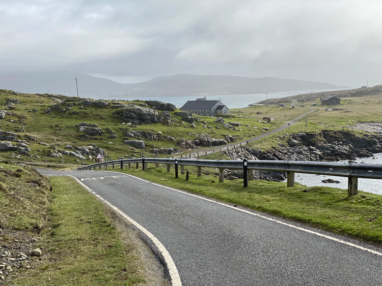
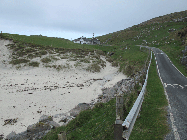
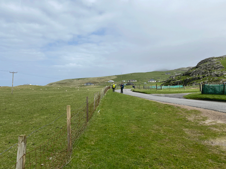
Approaching the causeway between Vatersay and Barra
Beinn Tangabhal shrouded in mist
| The Hebridean Way leaves the road at this point to go over Beinn Tangabhal; we opted for the road route as far as the Castlebay T-junction: Alpine Exploratory recommendation "In mist, heavy rain or if visibility is poor, we recommend sticking to the road to bypass this section. Navigation is tricky, relying on seeing the next marker post and with only a thin trail underfoot". |
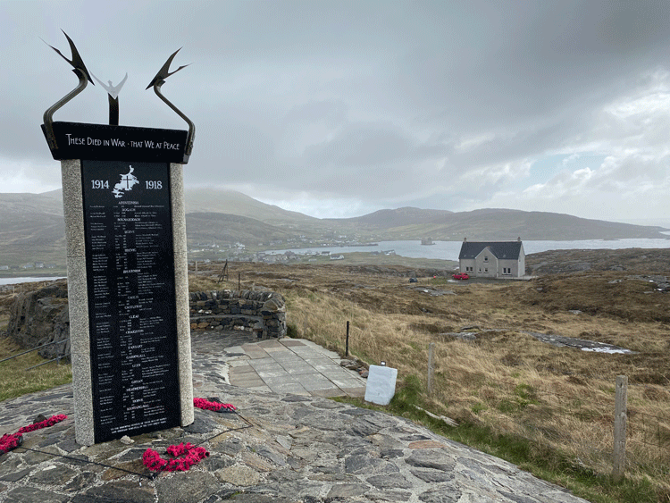
| The war memorial overlooking Castlebay. We managed a short break here sitting with our backs to the wall for a few minutes respite from the wind! |
| At the T-junction, we took the A888 towards Tangasdale and the hotel on the beach where we had arranged to meet Sue. If we had stuck to the Hebridean Way route this is where we would have come out o the A888. Below shows Beinn Tangabhal shrouded in mist. |
| Heading up the A888. The roof of the beach hotel can just be seen to the right of the telegraph pole. |
| The Isle of Barra Beach Hotel, Tangasdale Beach |

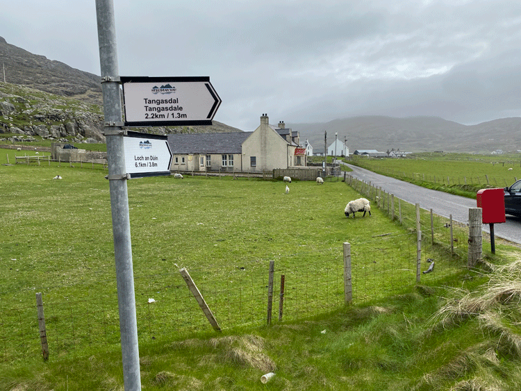
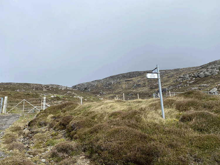
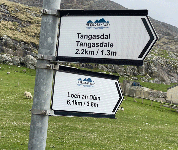
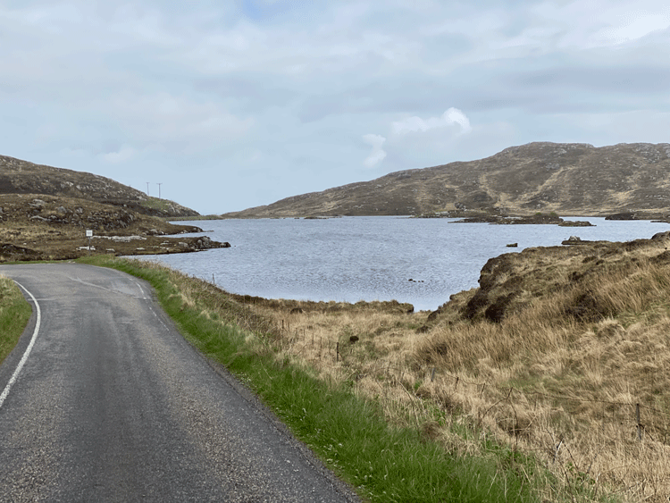
| A couple of kilometers after the Isle of Barra Beach Hotel we
turned right towards Loch an Duin |
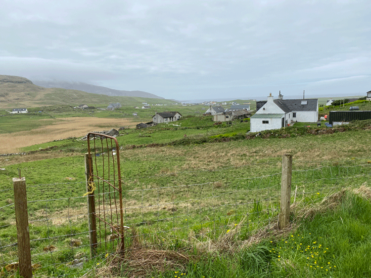
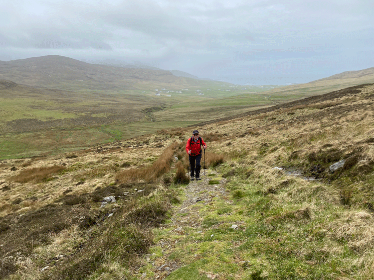
| Looking back from whence we came as we progressively climbed to the moor |
| The trail took a sharp left as we climbed further. Initially a dry path, this turned into a bog as we progressed. They had tried to put down plastic netting to bind the path, but my boot went in several times with mud above the top of the boot! |
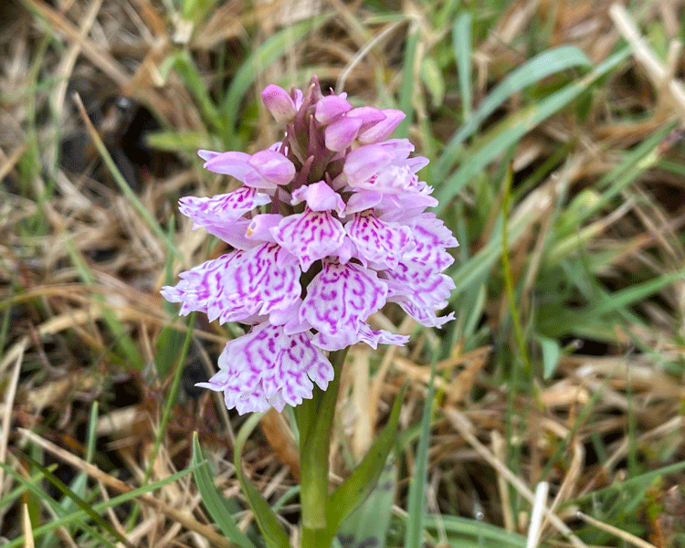
A small orchid in the bog
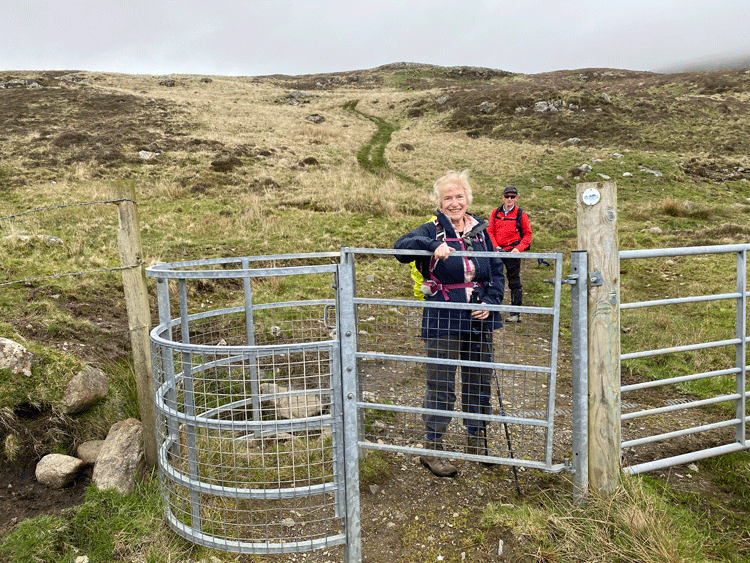
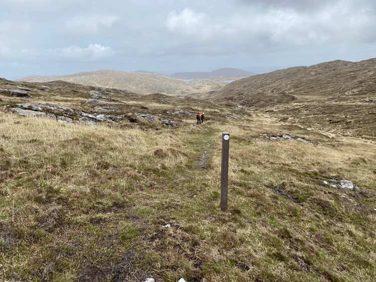
The marker posts were useful in this section
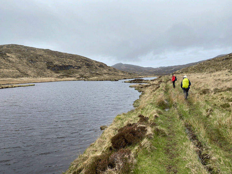
| Walking alongside Lochan na Cartach as we headed back to the A888 and Ardmhor |
Walking alongside Loch an Duin
|