| About | Home | Recent Activities |
|
Hiking Statistics
|
||
|
Narrowboating |
River Cruises |
Travel |
| Cornwall | Morganeering | Copyright |
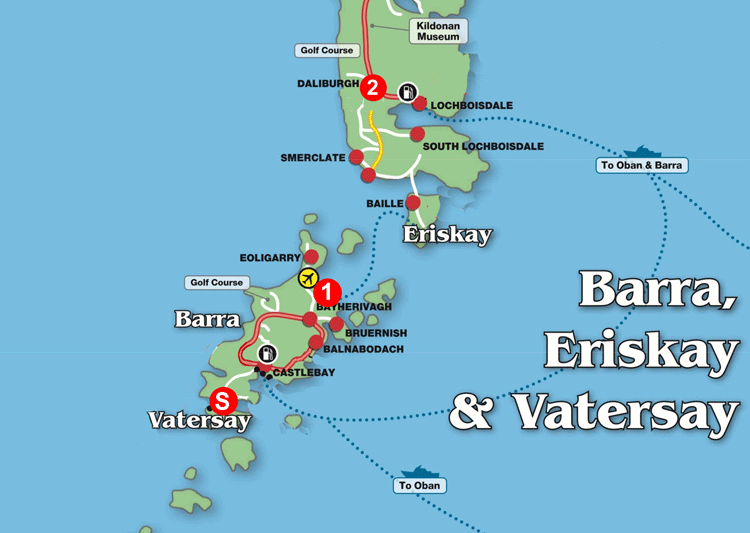
The Hebridean Way Saturday 7th May 2022
Day 2 Schedule
Base map courtesy of www.explore-western-isles.com
Day 2 Actual
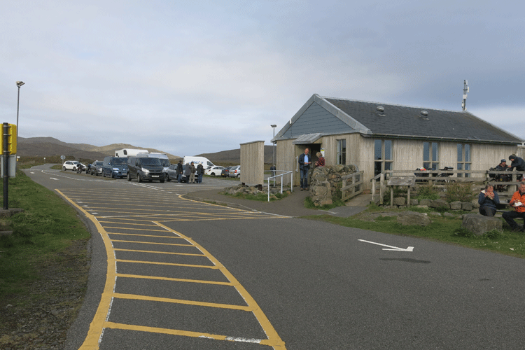
Ardmhor Slip ferry terminal..... at least you can get a coffee here
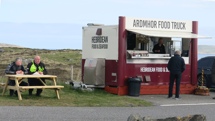
The Ardmhor food truck
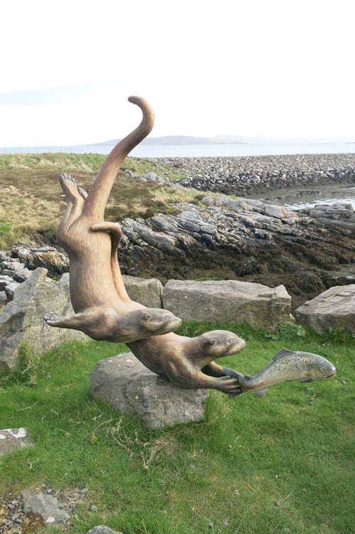
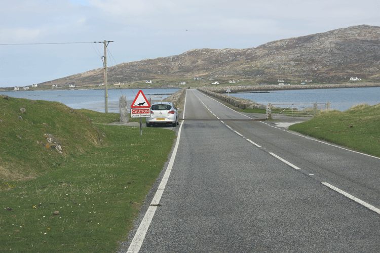
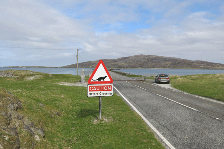
There were many signs for otters along the route, but we
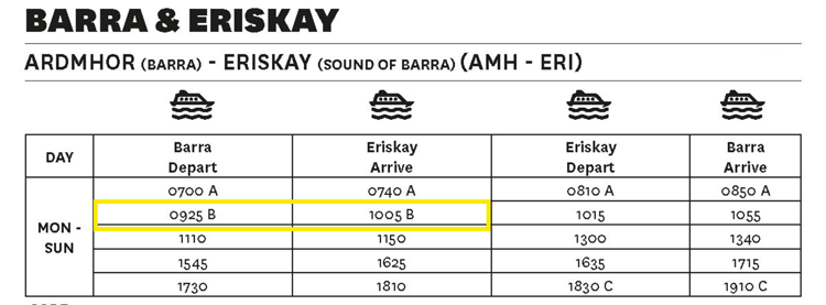
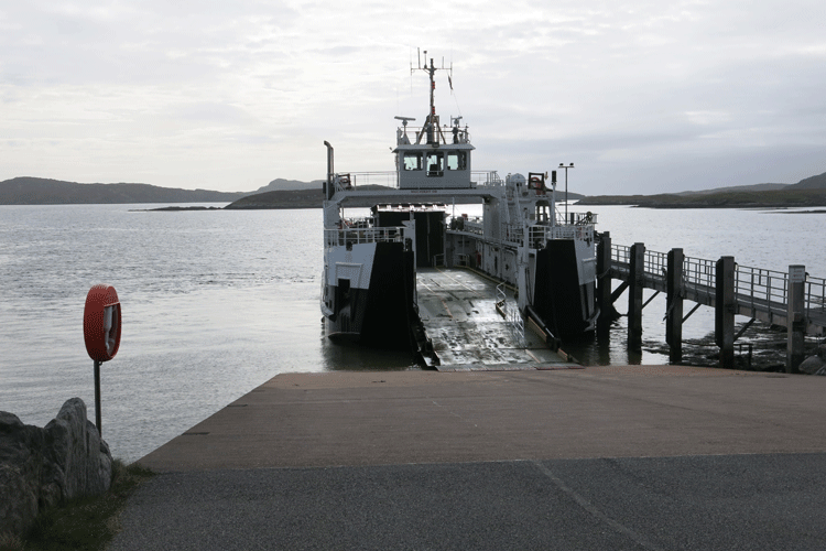
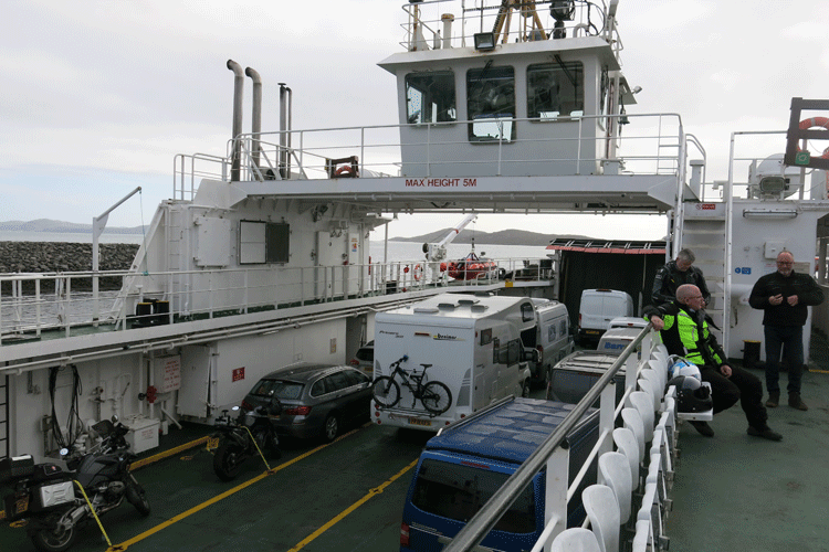
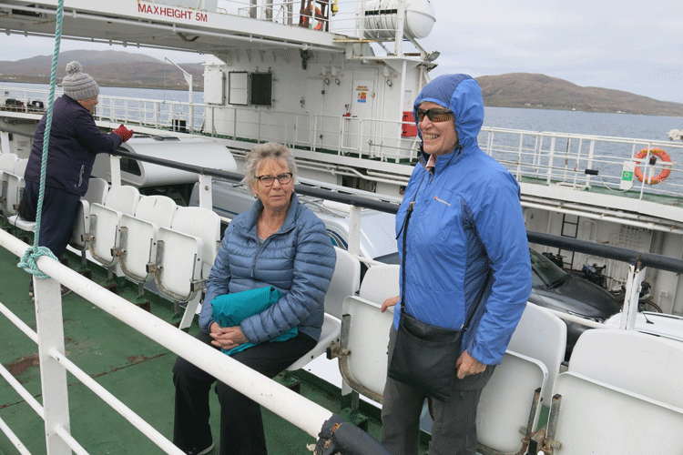
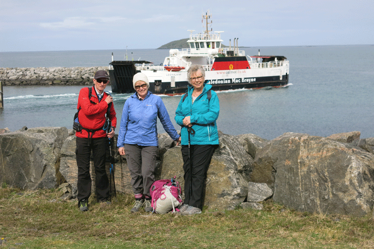
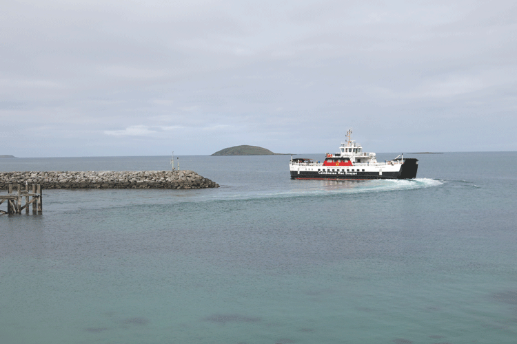
The 09-25 hrs ferry to Eriskay
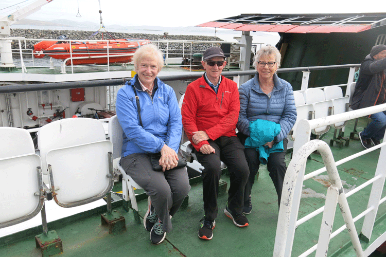
These three keep popping up in my photos!
Is it a bit windy Lesley?
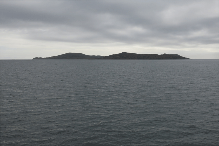
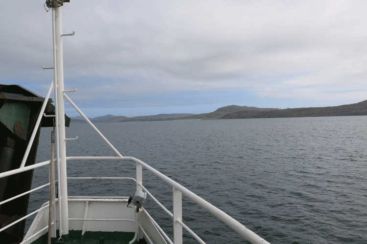
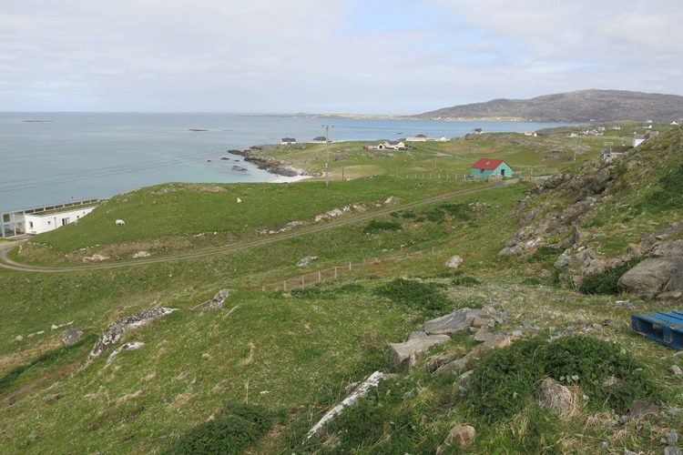
Approaching Eriskay
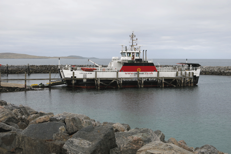
Docking at Eriskay
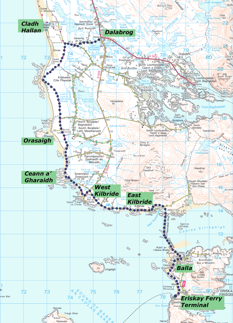
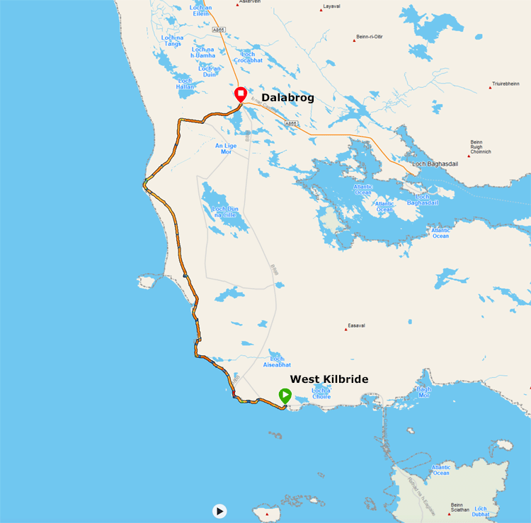
Garmin Data West Kilbride to Dalabrog
The ferry returning to Barra as we are about to set off towards Dalabrog.
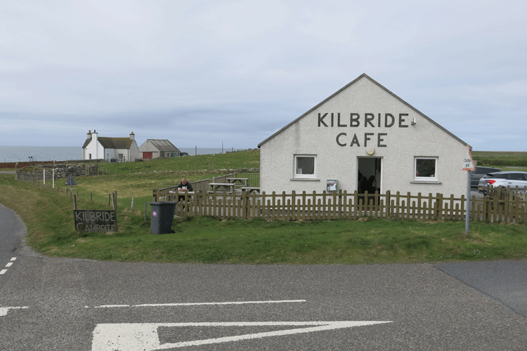
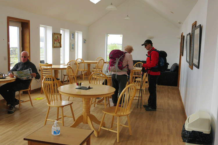
Sue walked the first section as far as East Kilbride with Jim & Lesley. We stopped at the cafe at West Kilbride campsite (one of the few open along the route) and Mick walked the remainder to Dalabrog.
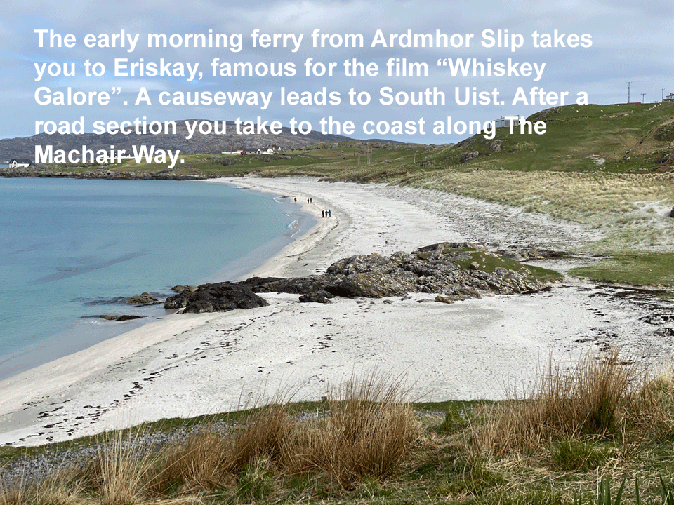
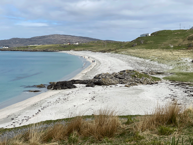
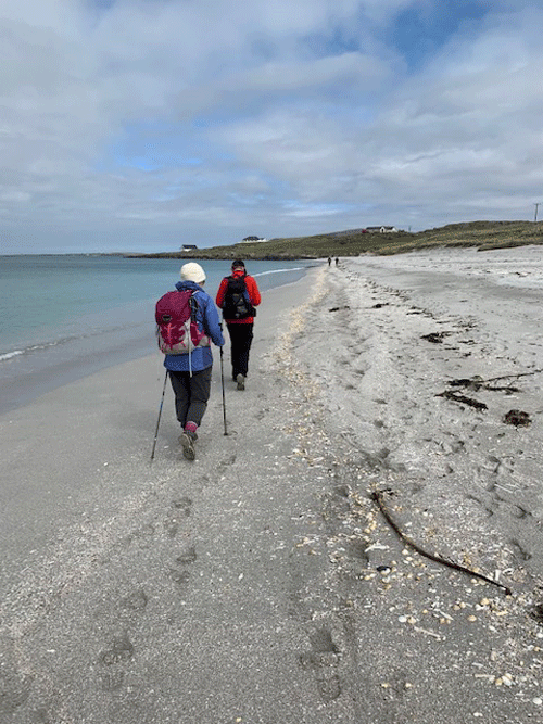
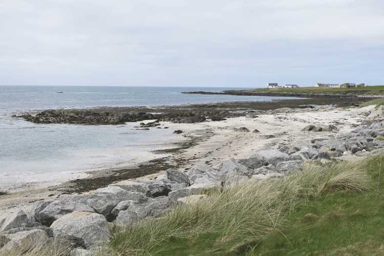
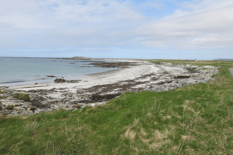
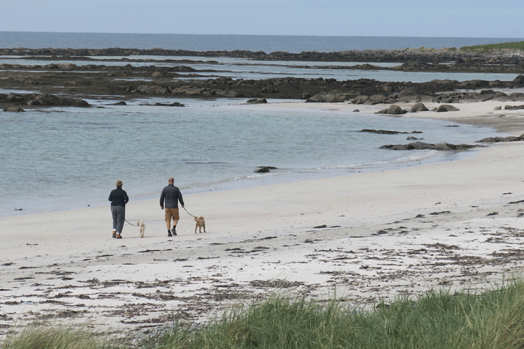
The Hebridean Way goes along the beach
Looking back to the ferry port having driven up the hill by car
Looking ahead in the direction of the causeway
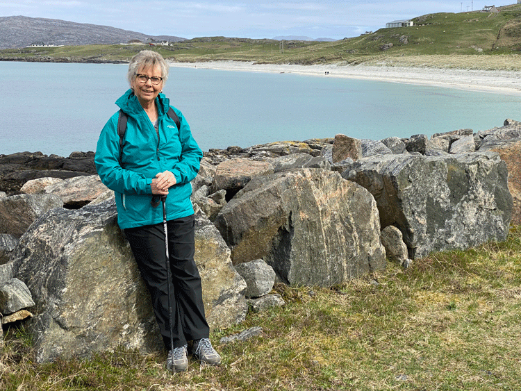
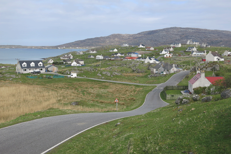
My favorite view of Eriskay
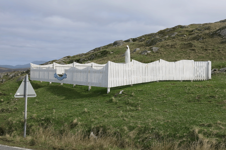
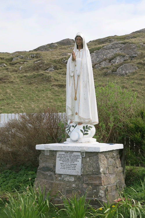
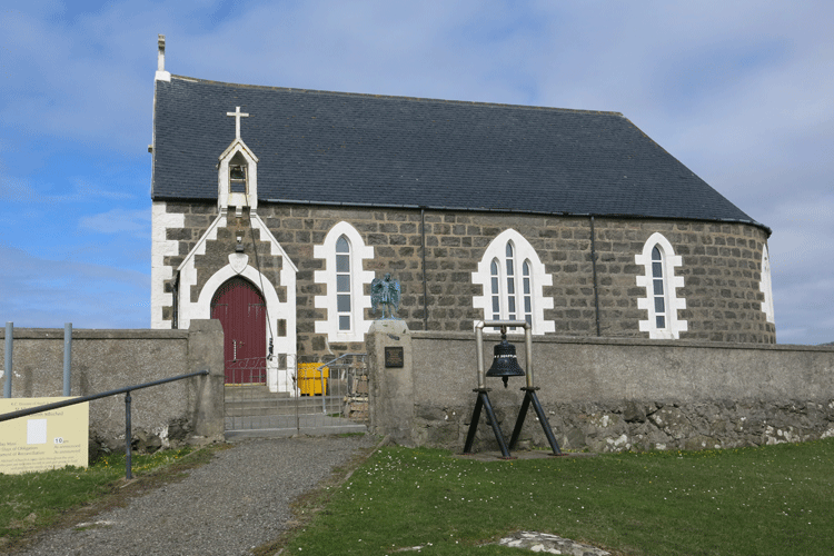
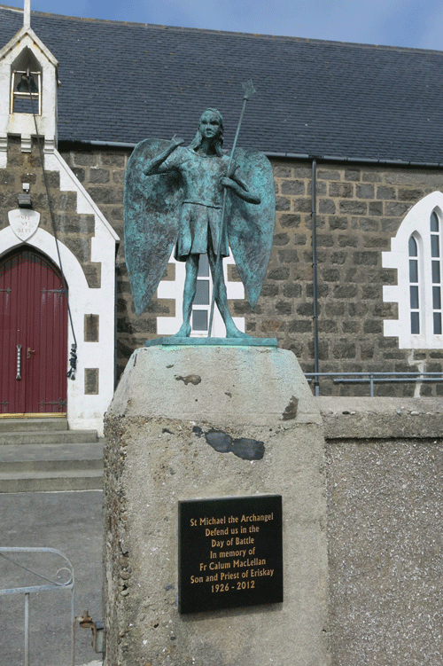
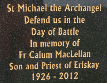
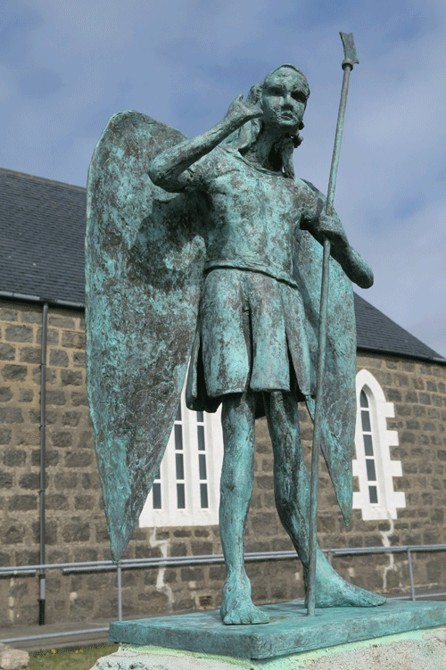
St Michael's Church, Eriskay
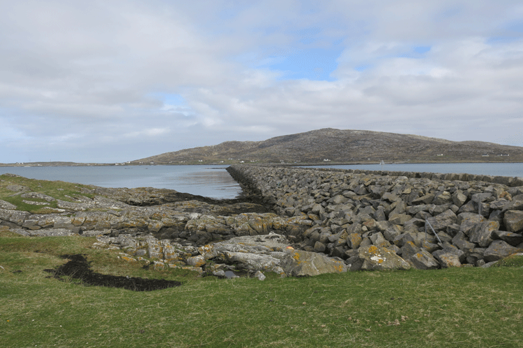
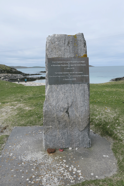
The causeway leading to South Uist, completed in 2002
The causeway
South Uist
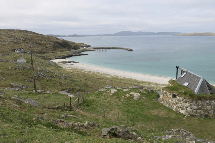
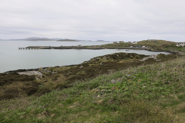
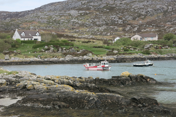
Bagh Shaltabhaig, Ludag
West Kilbride Cafe and Campsite
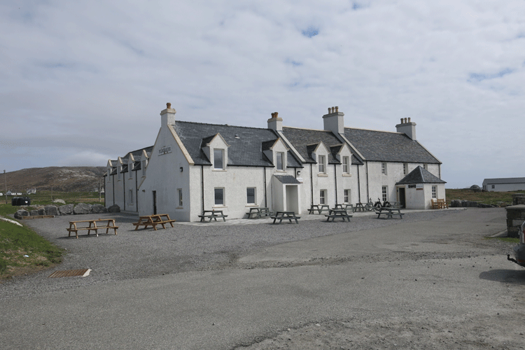
Pollachar Hotel
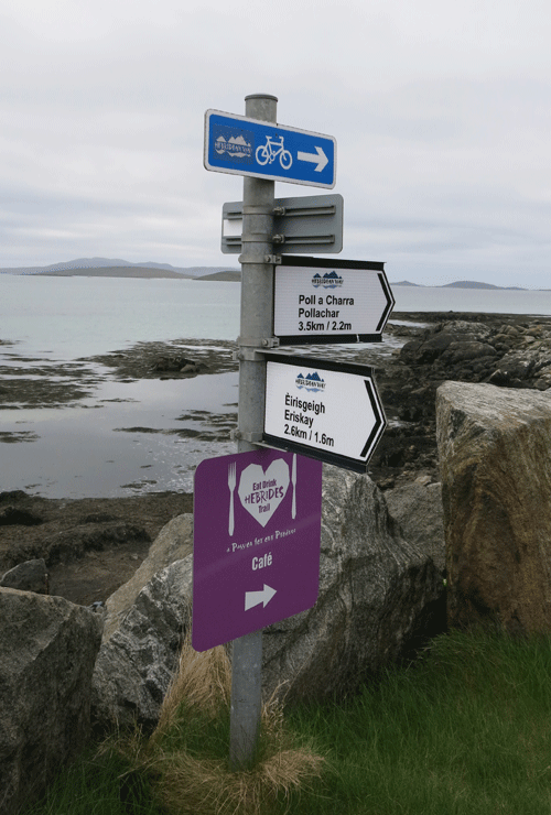
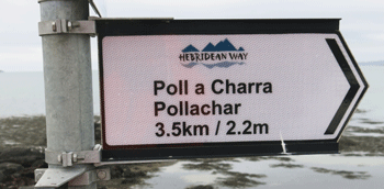
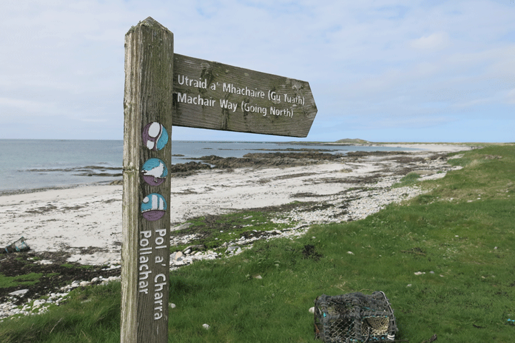
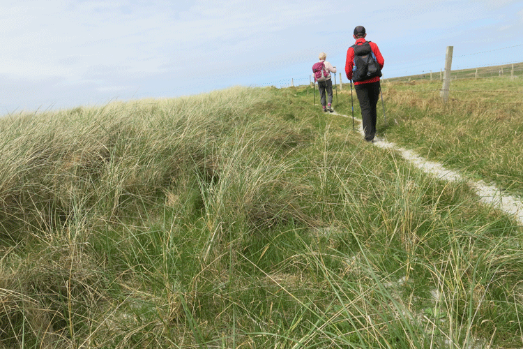
The Machair Way
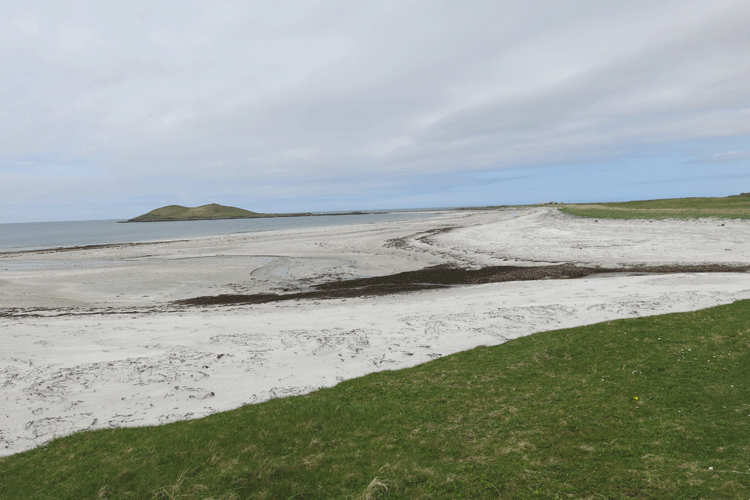
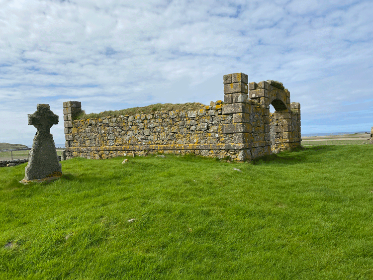
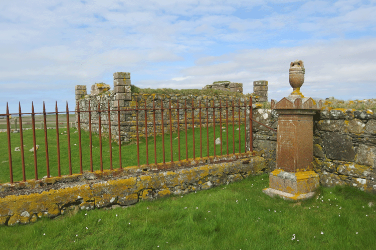
Orasaigh off to the left
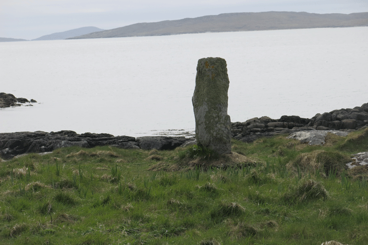
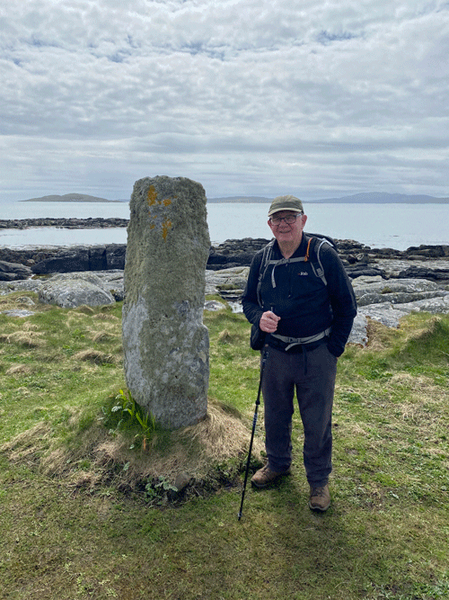
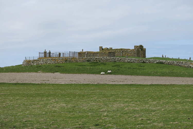
Burial ground adjacent to Orasaigh
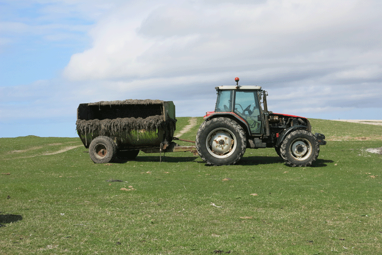
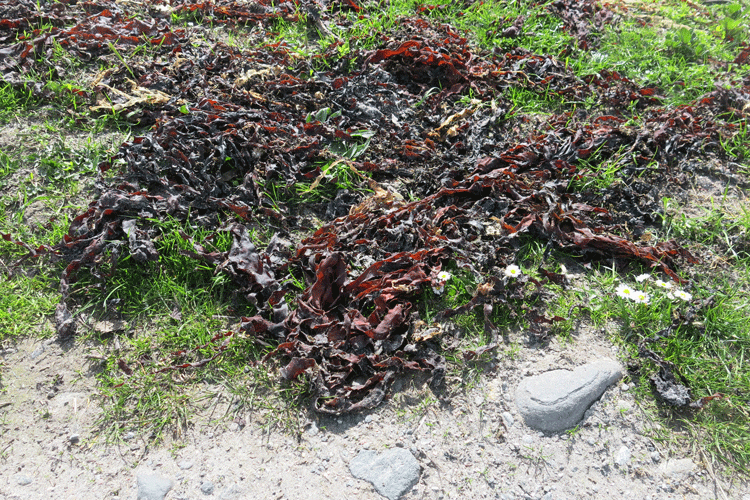
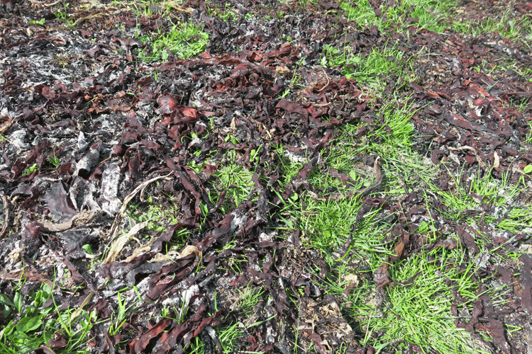
Seaweed being used as fertilizer
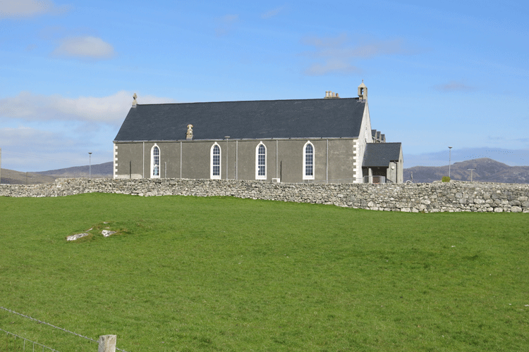
Dalabrog Church
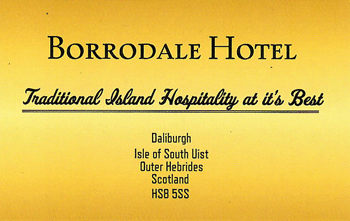
Accommodation
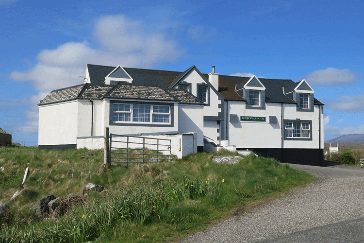
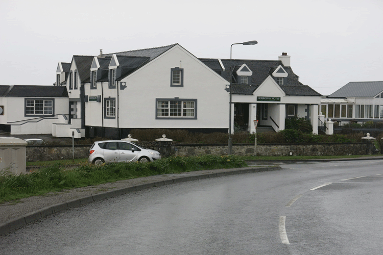
The Borrodale Hotel, Dalabrog, as approached from the beach
The Borrodale Hotel, main entrance
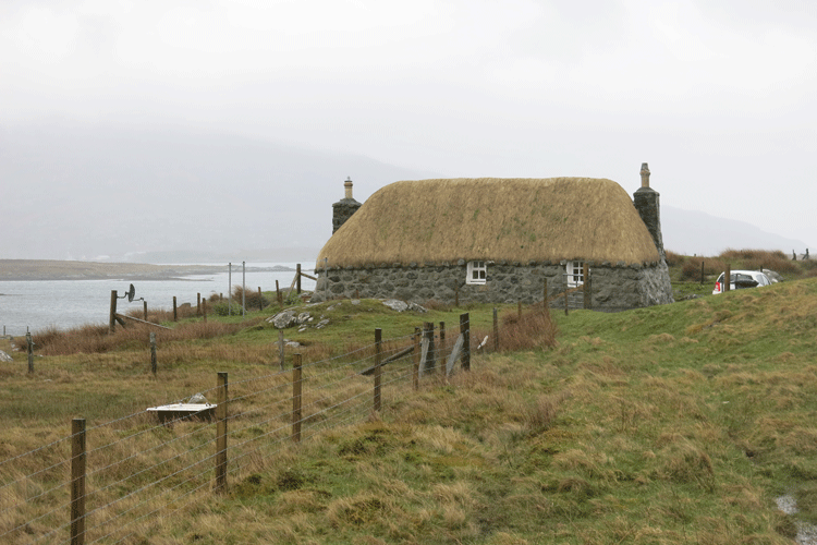
Crofter's Cottage, South Boisdale
|
||||||||||||||||||||||||||||||||||||||||||||||||||||||||||||||