| About | Home | Recent Activities |
|
Hiking Statistics
|
||
|
Narrowboating |
River Cruises |
Travel |
| Cornwall | Morganeering | Copyright |
|
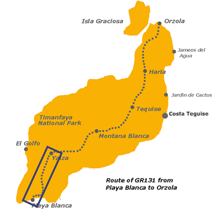
Lanzarote
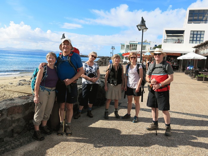
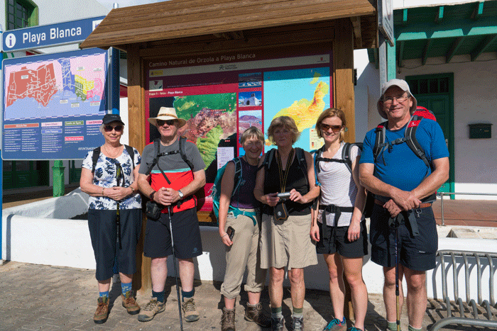
Ready for off, Playa Blanca seafront. L to R: Joan, Andrew, Sue, Helen, Anna and Mick
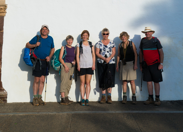
L to R: Sue, Mick, Joan, Helen, Anna and Andrew (Photo: Andreas Weibel)
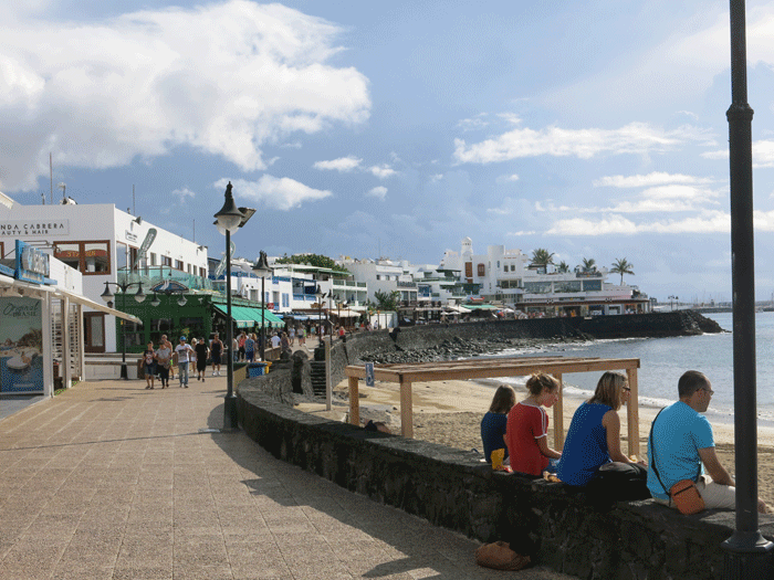
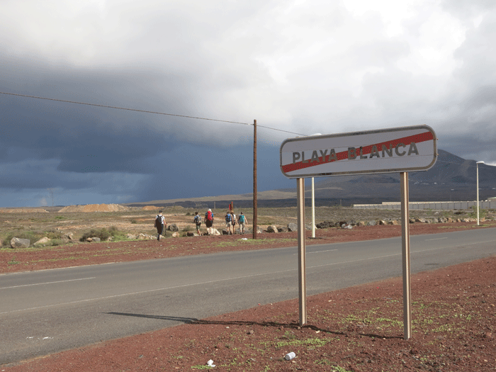
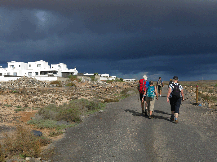
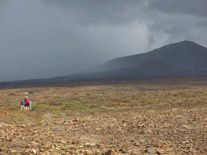
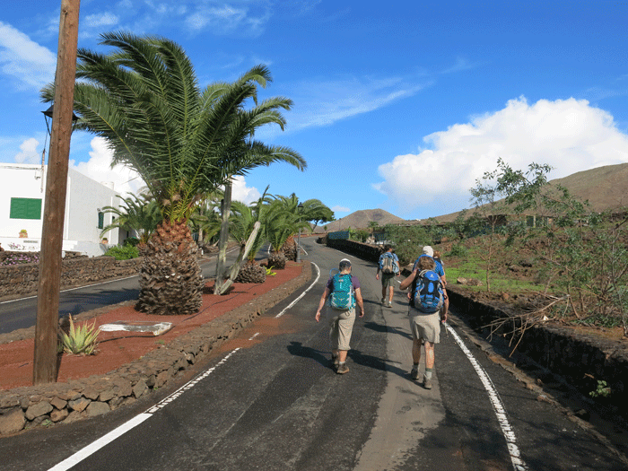
Leaving Playa Blanca and heading towards the mountains. It was looking black overhead
Guide Andreas explaining the route
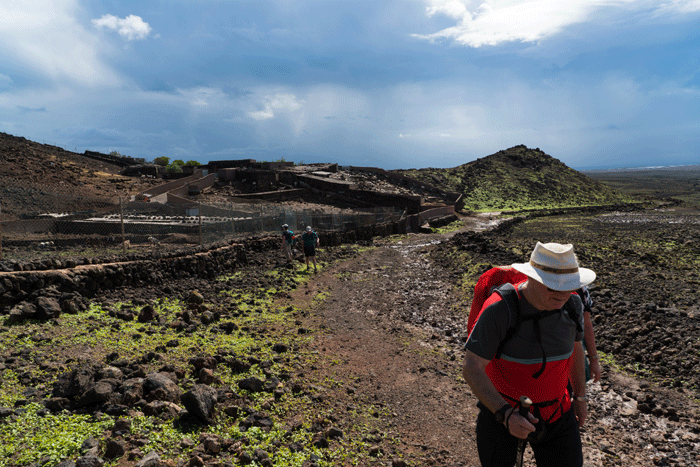
The black clouds were getting closer!
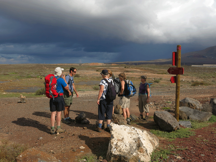
Are the clouds getting darker?
Heavy rain over the mountains, but we were just on the fringe of it.
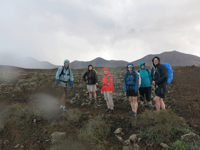
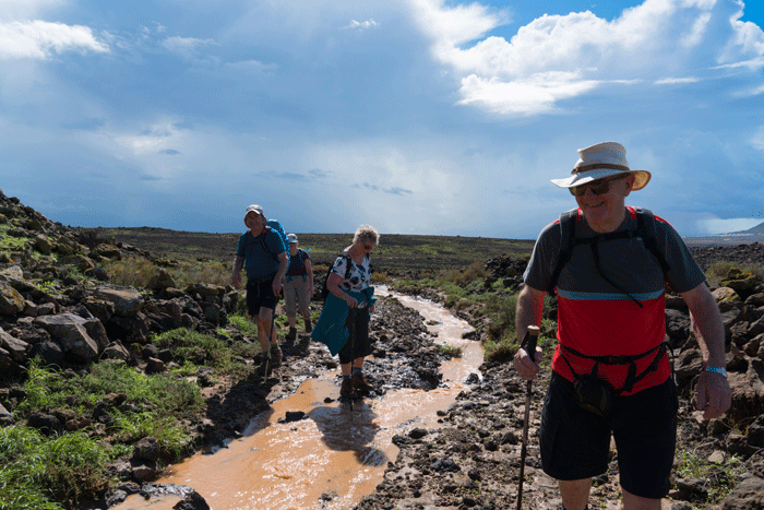
L to R: Andreas, Helen, Joan, Anna, Sue and Andrew
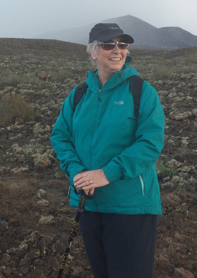
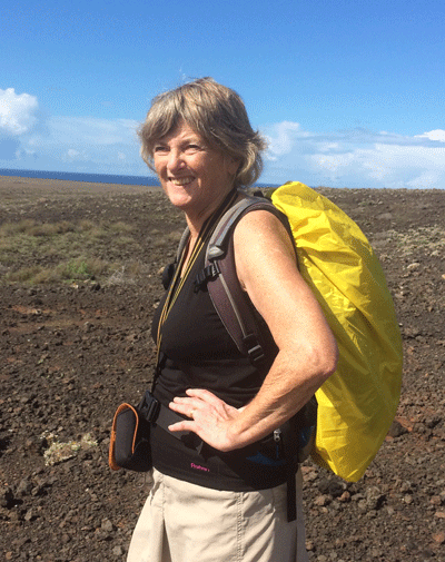
Sue (Photo: Anna)
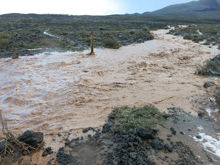
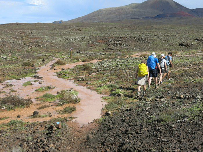
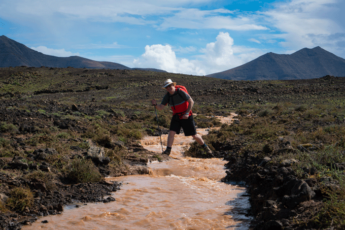
Houston, we have a problem! We could see the path ahead but how to get to it?
(Photo: Andreas Weibel)
(Photo: Andreas Weibel)
Helen (Photo: Anna)
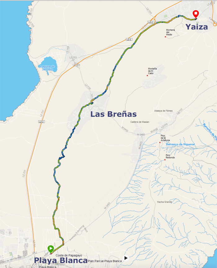
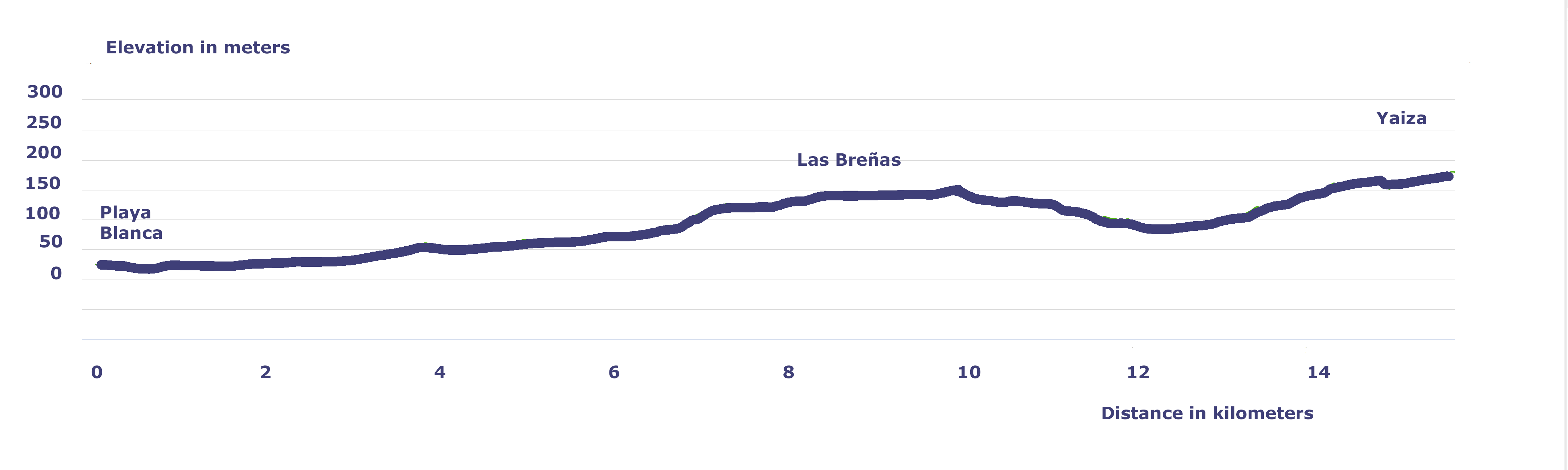
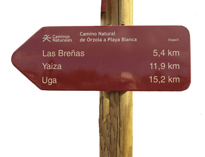
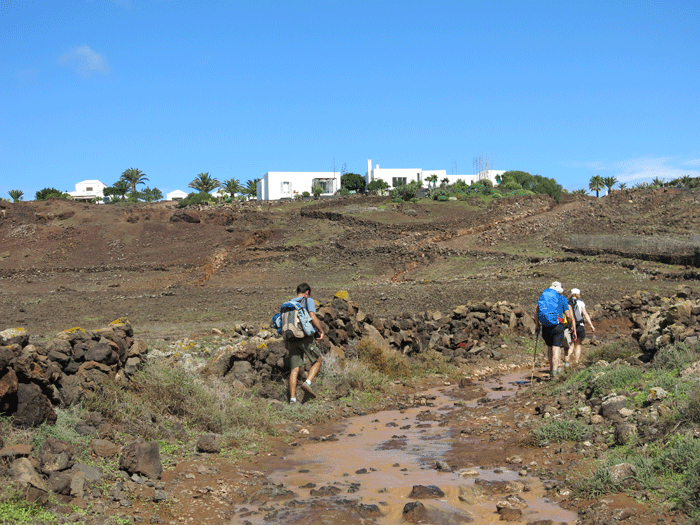
We were soon approaching Las Breñas, our designated lunch stop
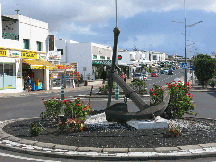
Looking back along the route from Playa Blanca
Passing a goat farm just before Las Breñas (Photo: Andreas Weibel)
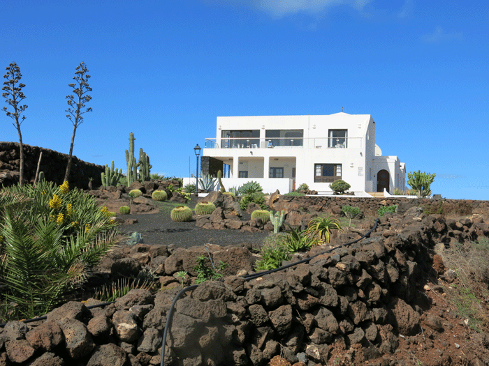
A typical house in Las Breñas.........
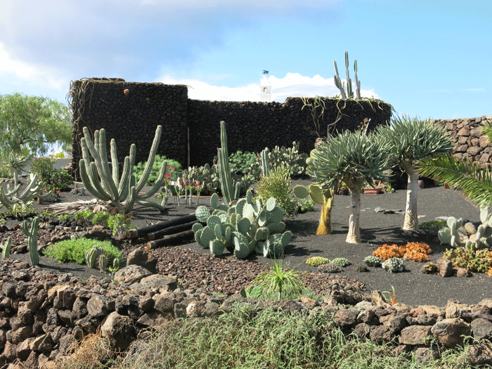
..... and a garden of volcanic lapilli and cacti.
Entering Las Breñas
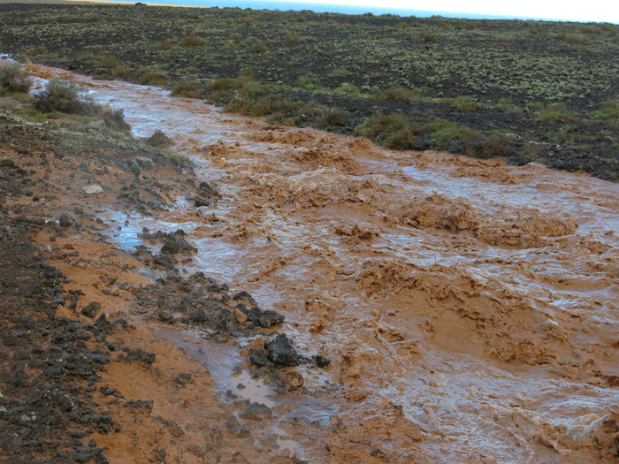
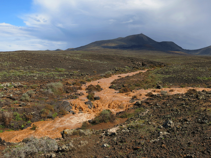
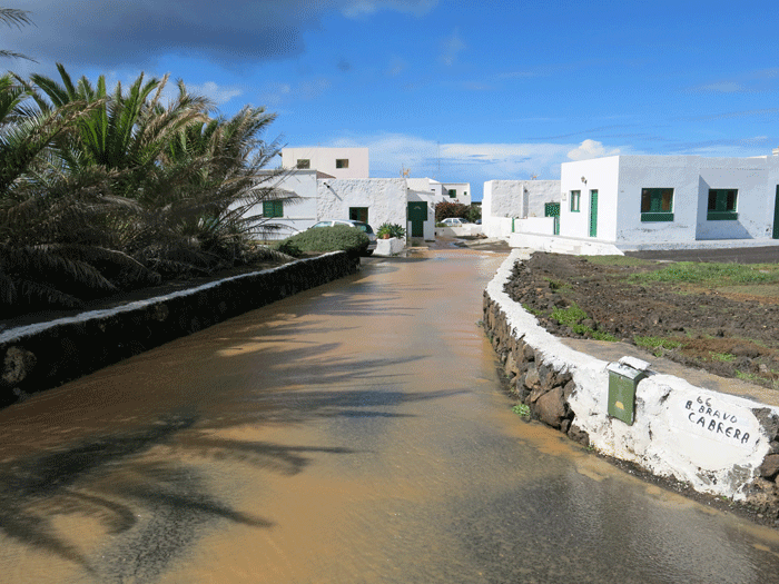
Flash floods after the heavy rain
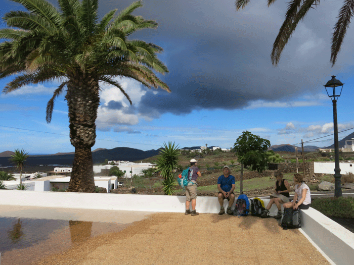
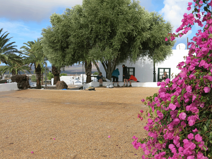
It was soon spotting with rain again as another black cloud approached
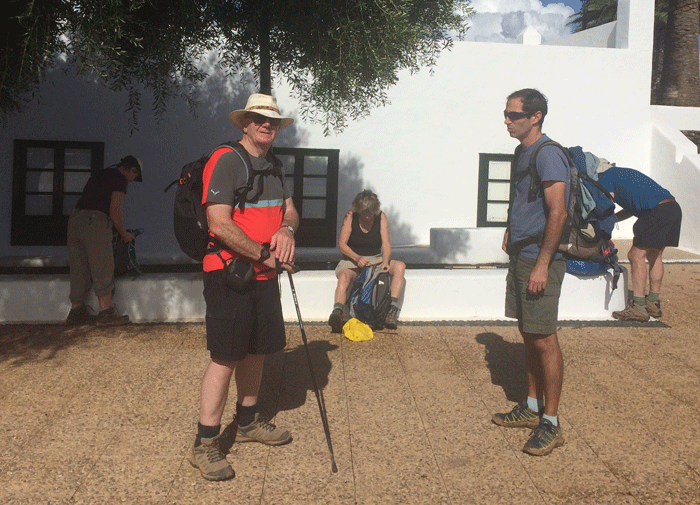
So we sheltered under a large tree of the olive genus
Mick and Andreas (Photo by Anna)
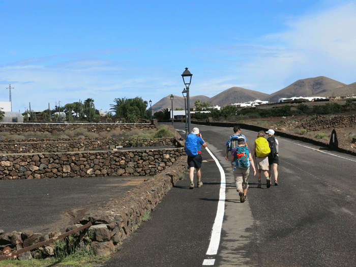
Leaving Las Breñas
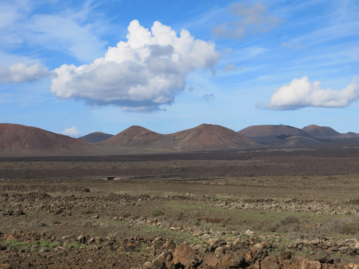
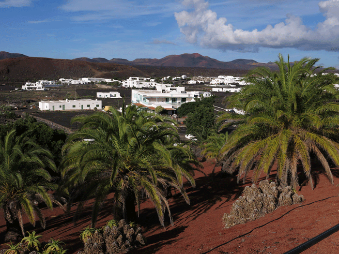
View towards Timanfaya National Park
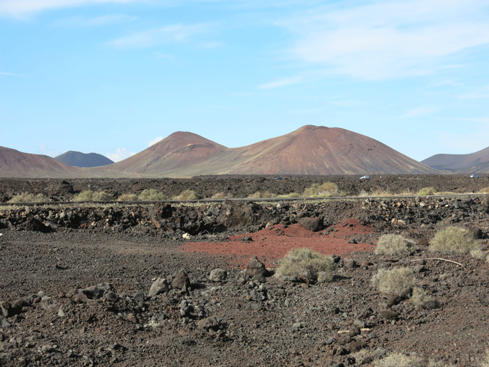
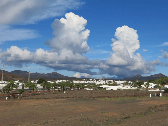
Looking towards Yaiza
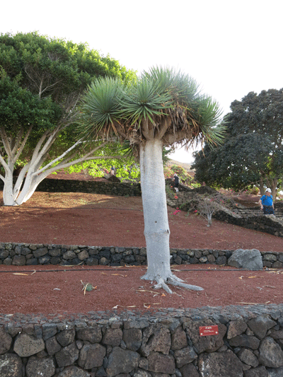
Dracaena draco (Drago or Dragon Tree)
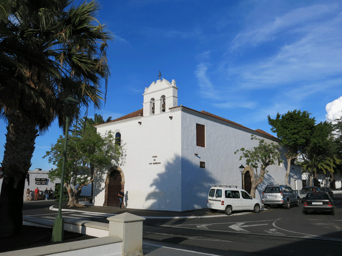
Iglesia de Santa Maria de los Remedios, founded in 1699 as a hermitage
(Photo: Andreas)
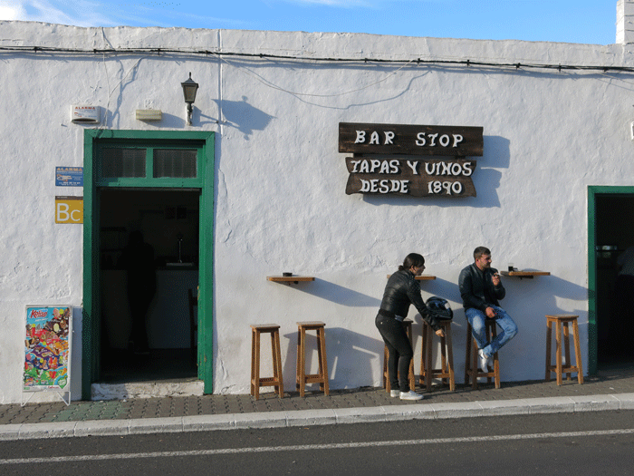
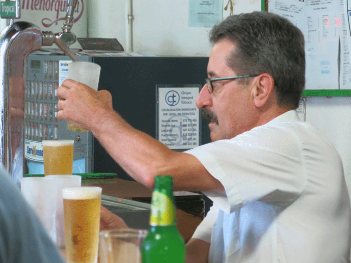
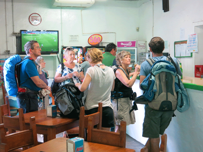
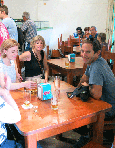
And as always, next to the church, is a bar!
The patron could not pour cañas fast enough to satisfy the mob!
| |||||||||||||||||||||||||||||||||||||