| About | Home | Recent Activities |
|
The Strollers
|
||
|
Narrowboating |
River Cruises |
Travel |
| Cornwall | Morganeering | Copyright |
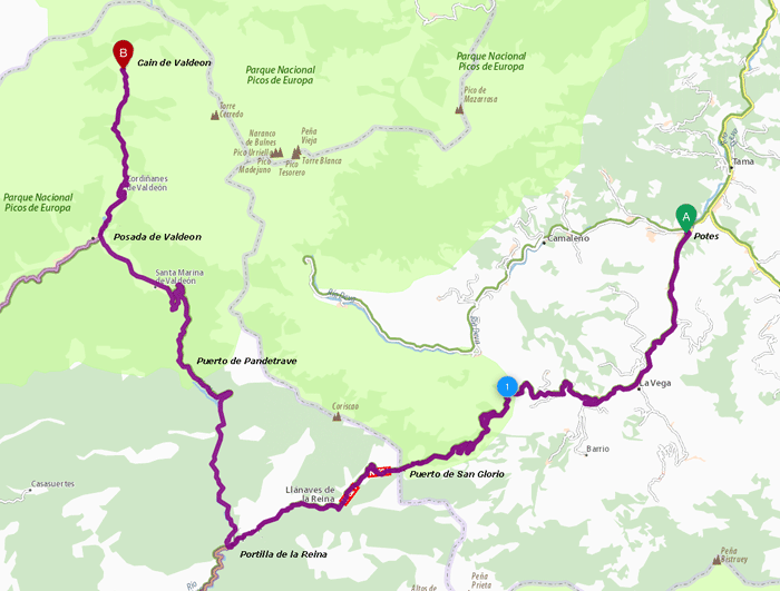
Picos de Europa 29th August 2016
Potes to Poncebos is 56 km and takes approximately 1 hour 20 minutes to drive
The drive from Potes to Cain is 65 km and takes approximately 1 hour 45 mins
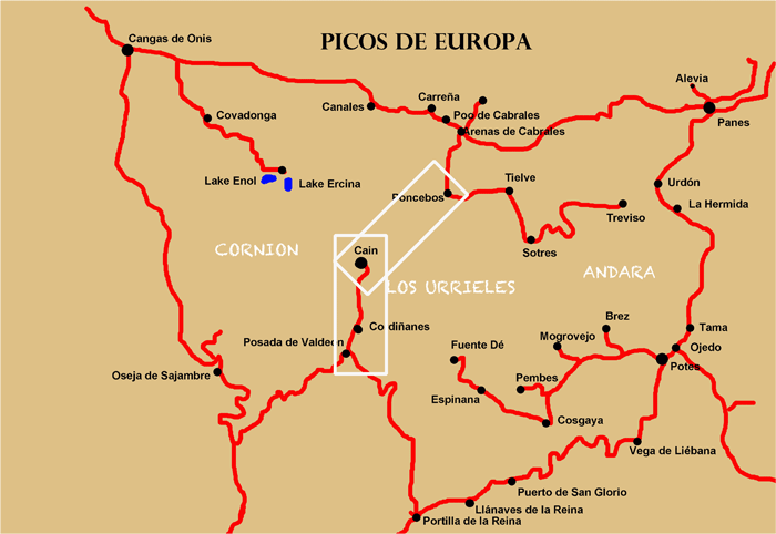
Location Map
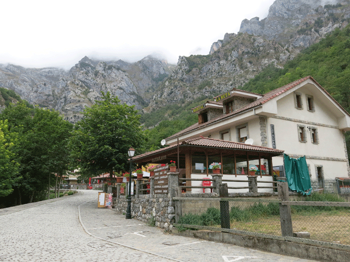
Hostal La Ruta in Cain
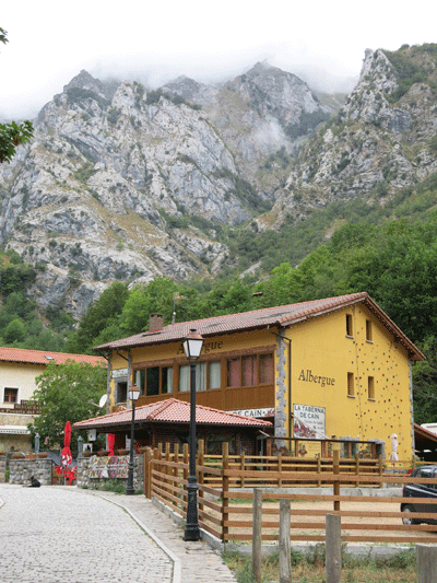
Albergue "La Taberna de Cain"
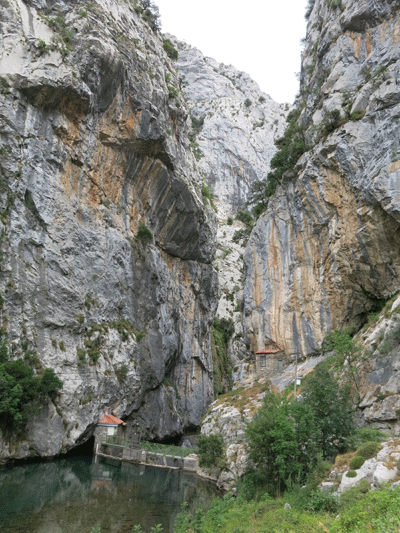
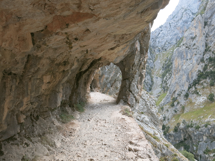
Start of "Ruta de Cares" at Cain
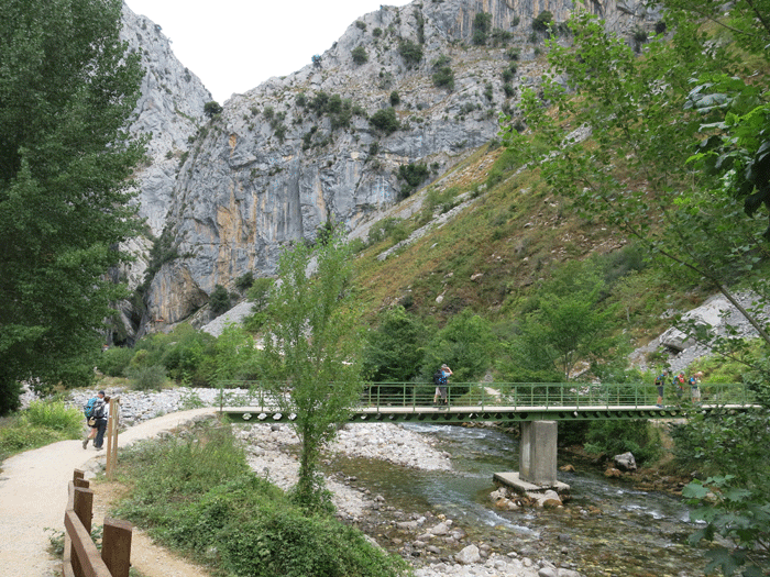
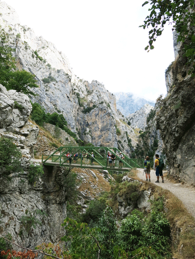
Puente de le Rebecos, 1.5 km into the walk from Cain
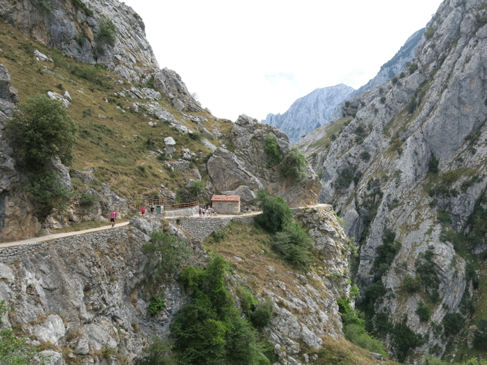
Puente de Bolin
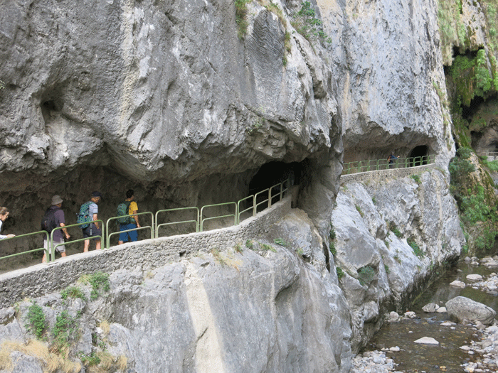
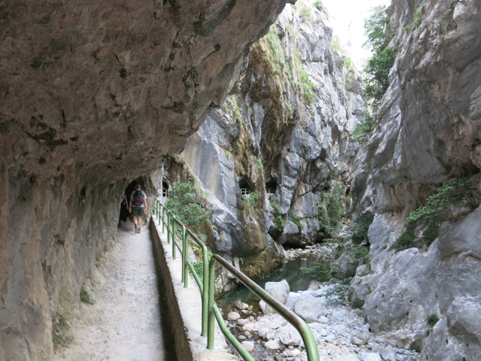
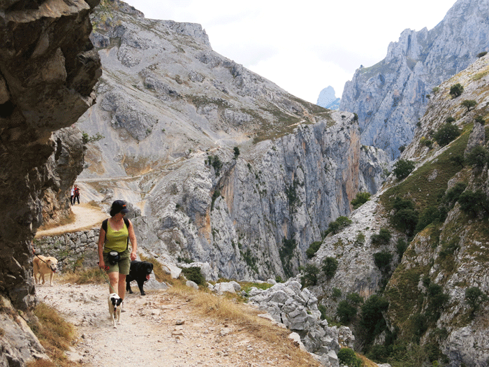
Culiembro, 5 km into the walk from Cain
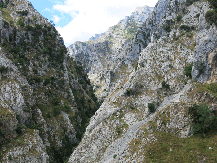
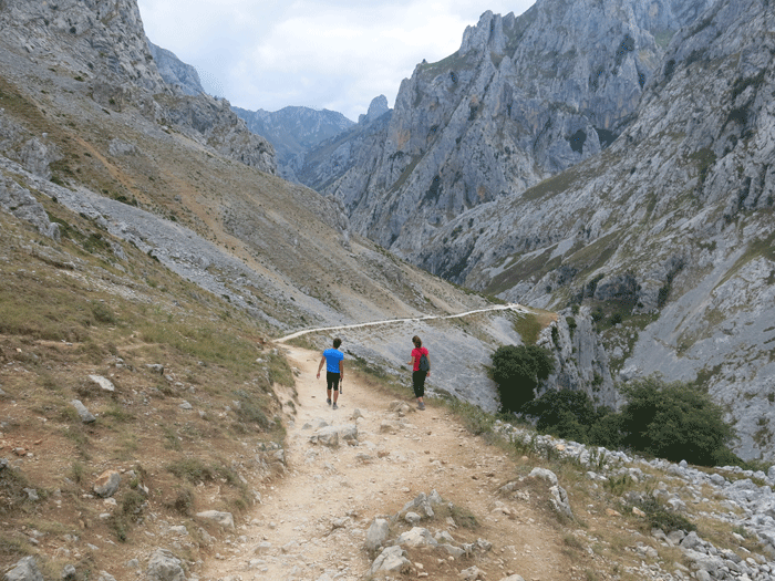
The climb to Los Collados, the highest point, 9 km into the walk
View down to Poncebos from Los Collados
|