
Traverse of Picos de Europa
2nd - 9th September 2018
Close to Spain's northern coast, the Picos de Europa is a region of stunning steep-sided valleys, isolated villages and picturesque limestone peaks. This walking holiday made a west to east traverse passing through the Western and Central massifs, staying in mountain refuges for four of the seven nights. From Soto de Onis, 4 kilometers east of Cangas de Onis, we transferred by mini-bus to the Covadonga Lakes and on to Pan de Carmen, our starting point at approximately 1,100 m of elevation.
Hiking by way of the Vegarredonda Refuge we climbed to Mirador de Ordiales and to Pico Cotalba (2,026m).
From Refugio Vegarredonda we retraced our steps and reached the southern end of Lake Ercina, Fuente Las Reblagas, before passing through Las Bobias on the way to Vega de Ario, where we stayed at Refugio de Marques de Villaviciosa.
The plan was to descend the 1500 meter-deep Garganta del Cares, following the Shepherd's Path via Ostón and the Canal de Culiembro, a spectacular cliff-side path that is one of the great Picos walks. Unfortunately, due to a thunder storm with spectacular lightening strikes this was considered to be too dangerous, hence we retraced our way back to Lake Ercina and a taxi transfer to Poncebos.
The day's hike from Poncebos to Refuge Pico Urriellu involved some 2,000 meters of climbing; roughly half the group walked the first 400 m of climbing over two hours up the Canal de Tejo, whilst the other half opted for the funicular which covers the same height gain in eight minutes.
Over-nighting at a refuge beneath the awe-inspiring Naranjo de Bulnes peak, we continued the hike the next day across a lunar landscape to the superb viewpoint Collado Horcados Rojos, which involved some exposed scrambling. Cables are bolted to the rock face to assist with the scramble, but they have not been maintained due to a dispute between national and local government, and we were encouraged not to use them at all for safety. The climb to the summit of Torre de los Horcados Rojos (2,562m) meant and additional ascent/descent of 150 meters for those who chose to do it. From the Collado Horcados Rojos, a short descent and and even shorter ascent took us to the delightful Cabaña Veronica where we had lunch. An interesting traverse over an area of broken moraine took us down to Hotel-Refugio de Áliva, which had all the luxuries of a hotel rather than a refuge.
The final day saw us descending to Espinama, after first visiting Collado de Valdecoro and Pico de Valdecoro (1,836m). |
Flight Details
| |
Departure |
Arrival |
| Sunday 2nd September |
EZY3083 ETD Stansted 07:00 hrs |
ETA Avilés, Asturias 10:00 hrs |
| Sunday 9th September |
EZY3084 ETD Avilés, Asturias 10:35 hrs |
ETA Stansted 11:25 hrs |
Avilés is, with Oviedo and Gijón, one of the main towns in the Principality of Asturias. It occupies the flattest land in the municipality, in a land that belonged to the sea, surrounded by small promontories, all of them having an altitude of less than 140 metres. Situated in the Avilés estuary, in the Northern Central area of the Asturian coast, west of Peñas Cape, it has a national seaport and is an industrial city. It is close to popular beaches such as Salinas. It also has important churches like St. Thomas of Canterbury. Avilés has the Centro Cultural Oscar Niemeyer, too.
(Wikipedia) |
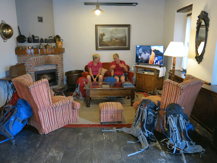
Accommodation in Soto de Cangas
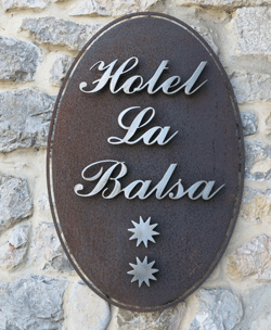
La Balsa
Calle Soto De Cangas 53
Cangas de Onis
Asturias 33589
Tel: 9859 40056
La Balsa
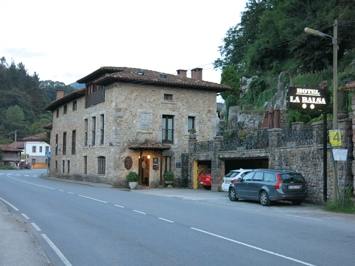
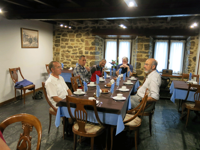
Good comfortable rooms with en suite..... luxury before the Refugios!
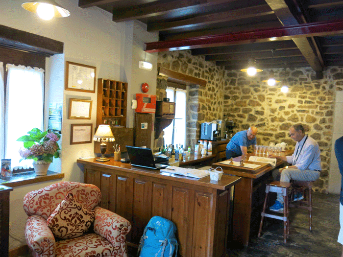
Reception at La Balsa
.
L to R: Mike, Stuart, Julian, Andrew and Graham
Cangas de Onis
As we had most of the afternoon free we were able to walk the four kilometers to Cangas de Onis for a bit of sightseeing.
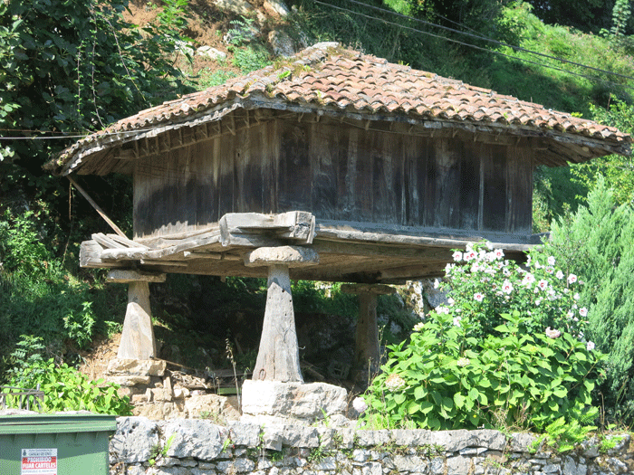
One of the many horreos in the area
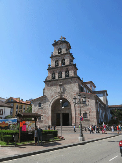
Church of Our Lady of the Assumption of St. Mary
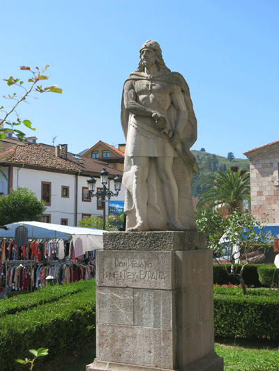
The statue of Don Pelayo
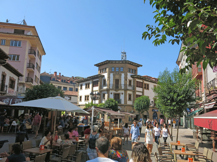
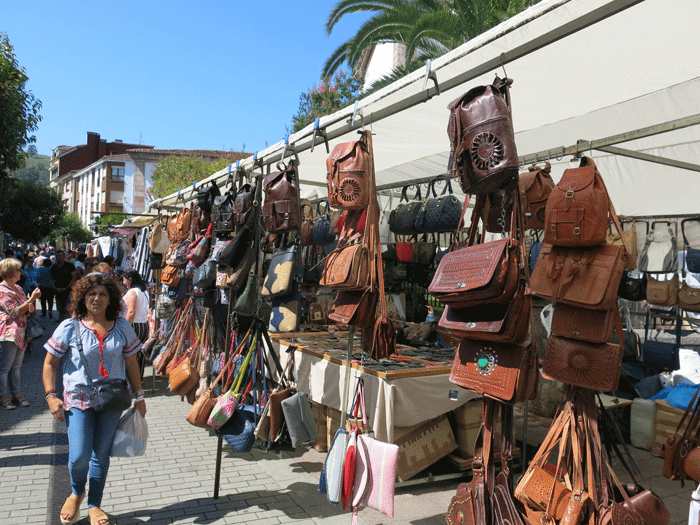
Busy Sunday street market
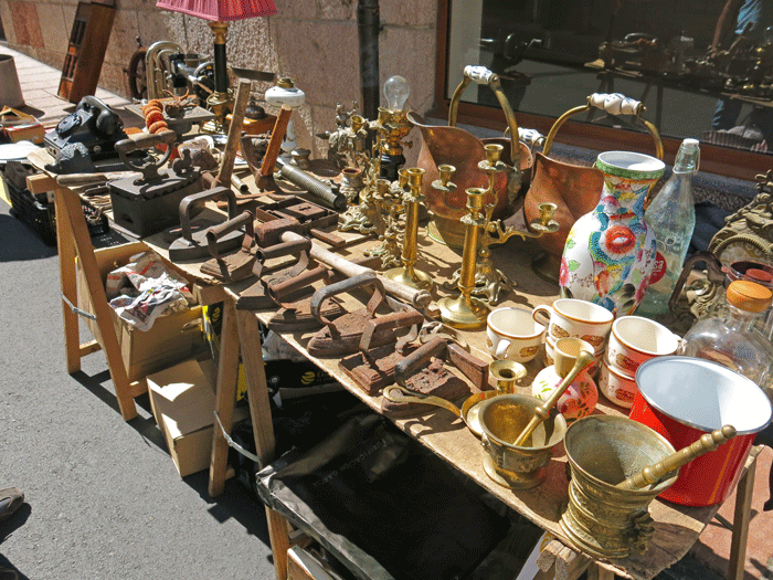
Bric-a-brac
.
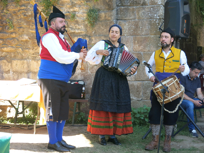
Local entertainers
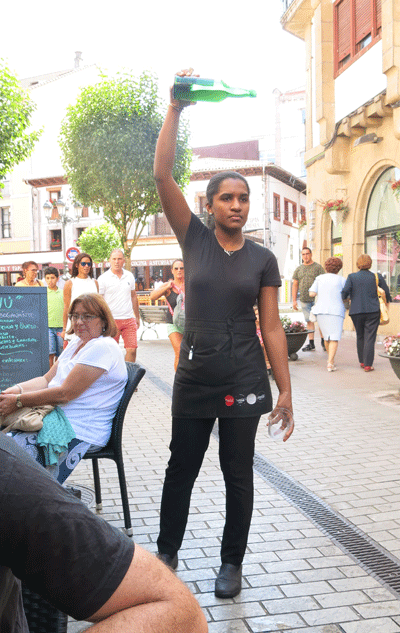
Pouring the cider to aerate it. It is amazing how they pour it from a
height without even looking at the glass below.
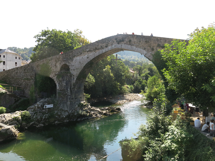
Puente Romano
Hiking Schedule
| Day |
To |
Distance |
Time |
Elevation in meters |
| |
|
Km |
Elapsed
Hrs-Mins |
Gain |
Loss |
Min |
Max |
| 2 Sep |
Soto de Cangas to Cangas de Onis |
8 |
2H00 |
|
|
|
|
| 3 Sep |
Refugio de Vegarredonda |
14.9 |
7H37 |
1,126 |
723 |
1,054 |
1,974 |
| 4 Sep |
Vega de Ario |
16.53 |
7H08 |
710 |
554 |
1,054 |
1,652 |
| 5 Sep |
Lake Ercina via Belbin |
8.45 |
3H03 |
142 |
643 |
1,056 |
1,651 |
| 6 Sep |
Refugio de Urriellu |
9.80(*) |
5H08 |
1,315 (*) |
61 |
700 |
1,920 |
| 7 Sep |
Refugio de Áliva |
12.88 |
7H57 |
743 |
1,092 |
1,658 |
2,405 |
| 8 Sep |
Espinama |
11.49 |
5H10 |
331 |
1,104 |
874 |
1,858 |
| 9 Sep |
Return to Avilés |
|
|
|
|
|
|
| |
Total |
82.05 |
|
4,367 |
4,177 |
|
|
|
(*) estimated as Garmin could not locate satellites for a while from Bulnes |
|
