| About | Home | Recent Activities |
|
The Strollers
|
||
|
Narrowboating |
River Cruises |
Travel |
| Cornwall | Morganeering | Copyright |
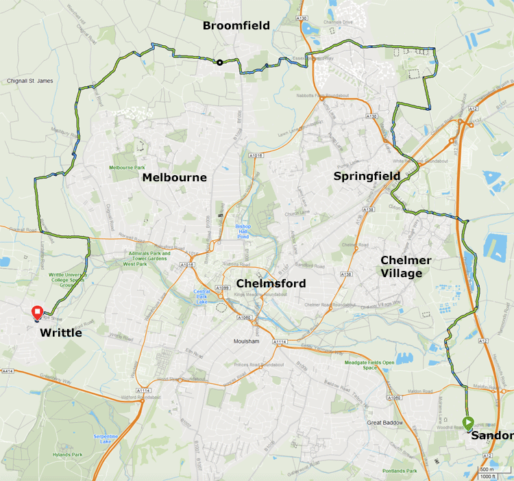
Sandon to Writtle Monday 9th July 2018
Garmin GPS data
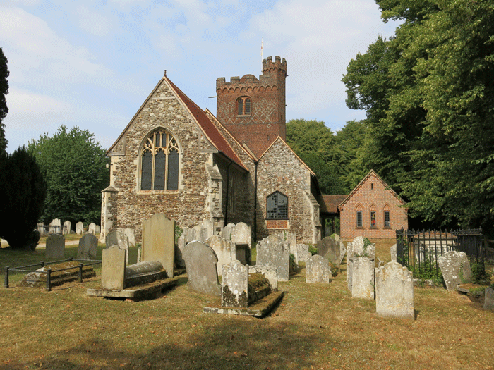
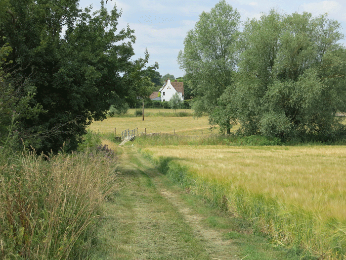
The Starting Point - St. Andrew's Church, Sandon. From here the route goes
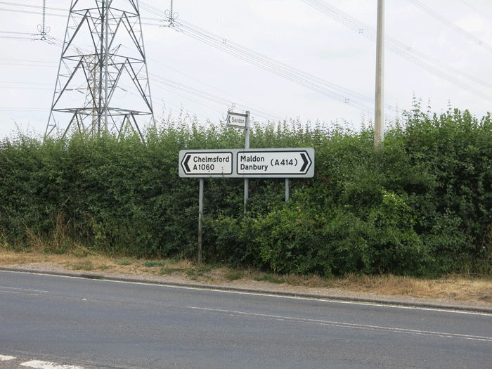
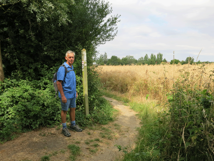
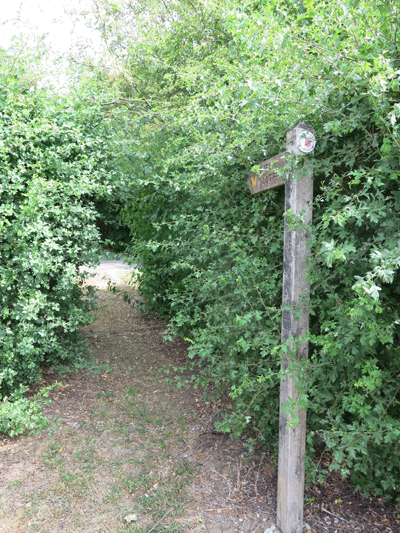
Turning left on the Maldon Road you can either take a diagonally path across the field, or go a little
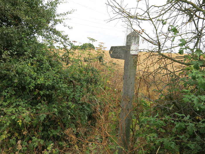
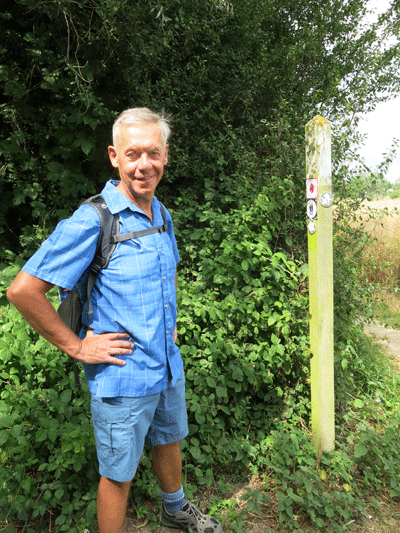
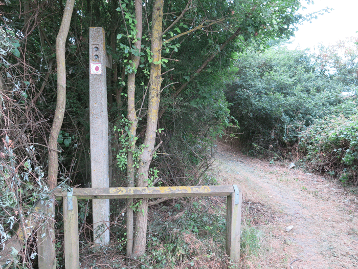
The waymarker, indicating the diagonal route across the field.
The diagonal path in January 2018
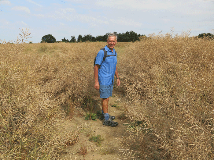
The path today, dry and overgrown
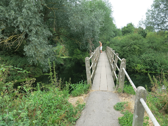
At the bottom of Sandford Mill Lane a small bridge takes you over a branch of the River Chelmer.
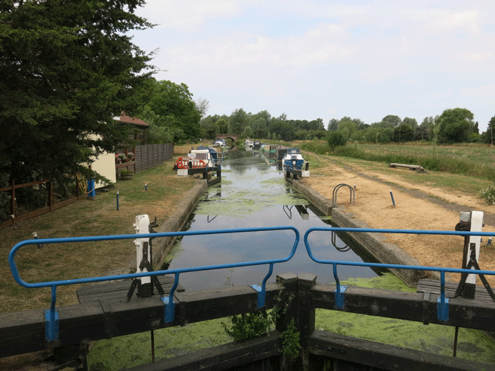
Sandford Mill Lock. Turning right along the canal here, towards Maldon, the route passes under the
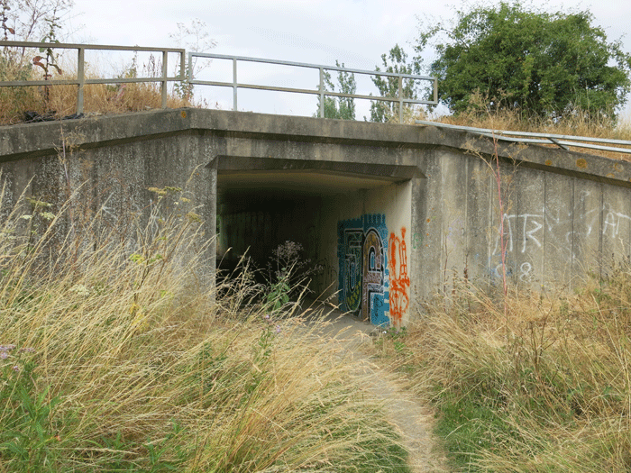
Leaving the A12 and heading to the underpass of the A12
A12 underpass
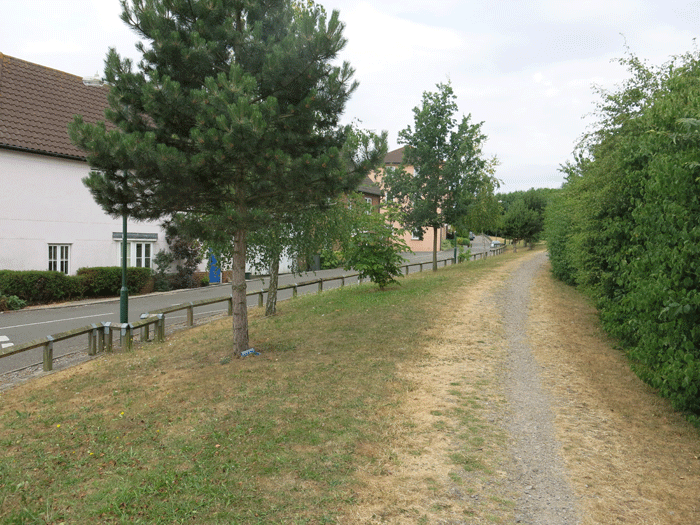
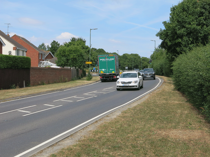
The route continues up a road called Townsend, alongside new houses. Here the route is not so
Map data @2018 Google
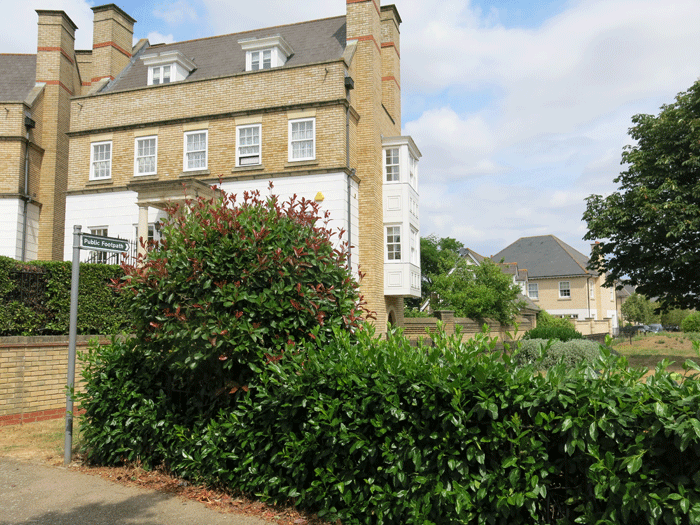
The path goes off to the right before the roundabout
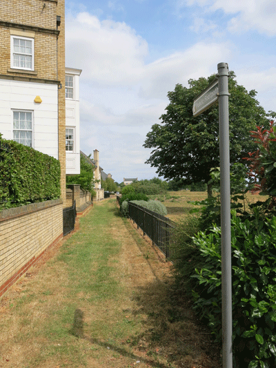
Footpath to the right of the houses
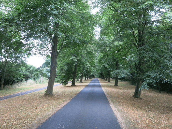
The tree-lined entrance to New Hall School
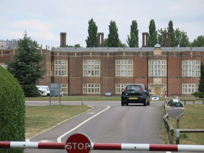
New Hall School
Back on track again, just to the right of New Hall School entrance
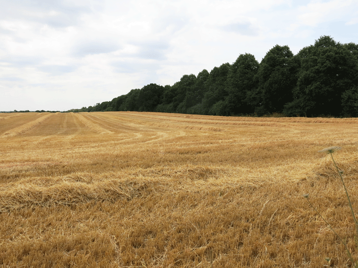
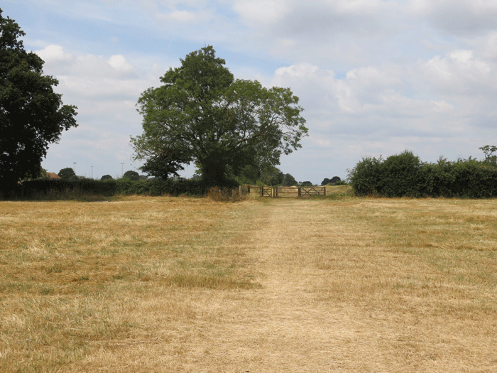
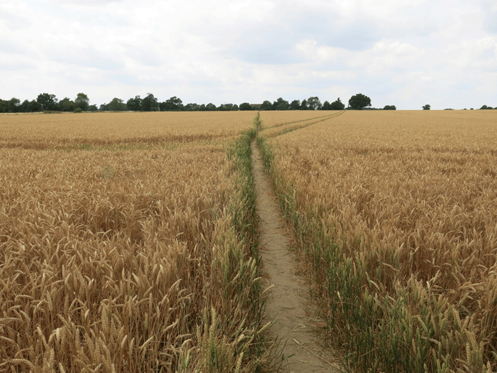
Really dry fields as we head out into the countryside again towards Broomfield
The stretch behind New Hall School as we headed towards Essex Regiment Way
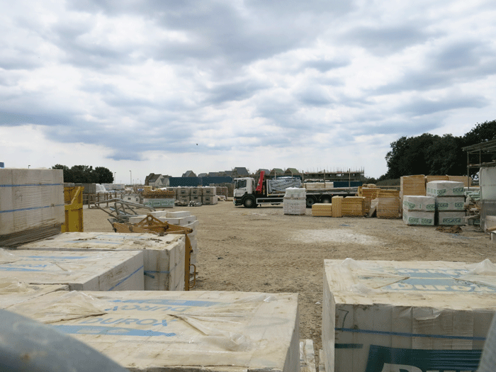
We were soon in the middle of a building site that is the extension to Beaulie Park housing
This path led to Essex Regiment Way, which we crossed and joined a smaller road behind it. Here
Crossing two bridges over the River Chelmer as we approached Mill Lane
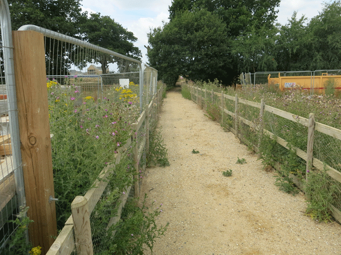
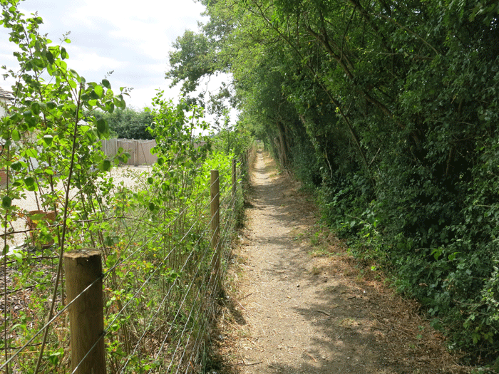
We took a small snicket off Mill Lane which led to Broomfield Football Club
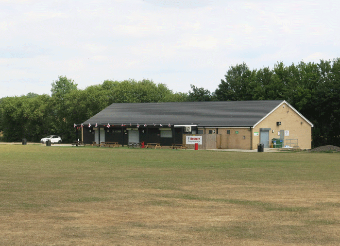
Broomfield Football Club.... a good place for lunch on the benches provided. After that we emerged
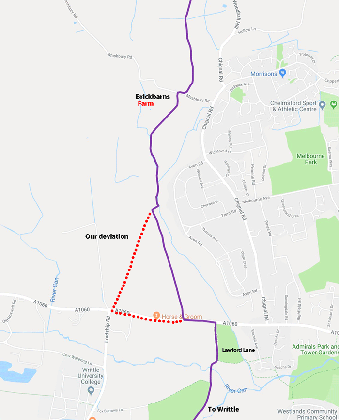
The path arced to the right crossing a small road until we came to a second small road, by Brickbarns
Map data @2018 Google Lawford Lane soon changes to a dirt track and ends up in the centre of Writtle
|
||||||||||||||||||||||||||||||||