
Tour du Mont Blanc
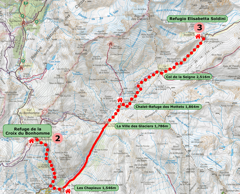
Refuge de la Croix du Bonhomme - Rifugio Elisabetta
Tuesday 13th August 2019
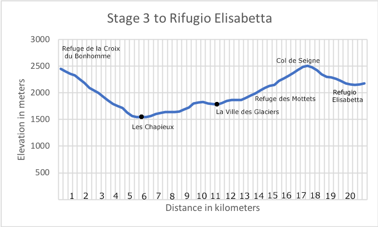
Stage 3. Schedule
| |
From |
To |
Distance Km |
Time Hrs |
Ascent m |
Descent m |
| 3-1 |
Refuge de la Croix du Bonhomme (2,433m) |
Chalet de Plan Varraro (2,103m) |
3.0 |
|
|
450 |
| 3-2 |
Chalet de Plan Varraro (2,103m) |
Les Chapieux (1,549m) |
2.5 |
|
|
470 |
| 3-3 |
Les Chapieux (1,549m) |
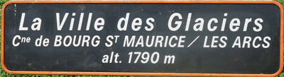
La Ville des Glaciers (1,789m) |
5.5 |
|
434 |
190 |
| 3-4 |
La Ville des Glaciers (1,789m) |
Refuge des Mottets (1,870m) |
2.0 |
|
90 |
|
| 3-5 |
Refuge des Mottets (1,870m) |
Col de la Seigne (2,516m) |
4.5 |
|
655 |
|
| 3-6 |
Col de la Seigne (2,516m) |
Rifugio Elisabetta (2,180m) |
4.0 |
|
|
370 |
| |
Refuge de la Croix du Bonhomme (2,433m) |
Rifugio Elisabetta (2,180m) |
21.5 |
7H30 |
1,015 |
1,290 |
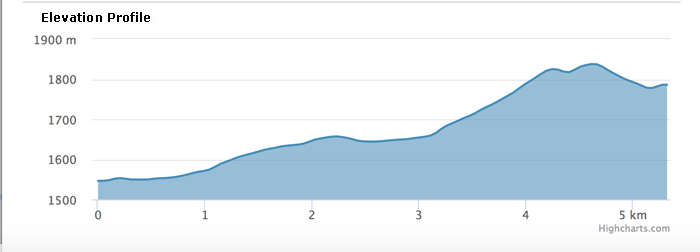
Garmin GPS Actual Data
Refuge de la Croix du Bonhomme - Les Chapieux
| Distance |
Time |
Elevation in meters |
Km |
Elapsed
Hrs-Mins |
Gain |
Loss |
Min |
Max |
| 5.1 |
1H58 |
- |
884 |
1,549 |
2,433 |
|
|
|
|
|
|
Garmin GPS Actual Data
Ville de Glaciers to Refugio Elisabetta
| Distance |
Time |
Elevation in meters |
Km |
Elapsed
Hrs-Mins |
Gain |
Loss |
Min |
Max |
| 10.19 |
4H38 |
738 |
364 |
1,787 |
2,514 |
|
|
|
|
|
|
Garmin GPS Actual Data
Refuge de la Croix du Bonhomme to Refugio Elisabetta excluding the shuttle
bus from Les Chapieux to La Ville de Glaciers
| Distance |
Time |
Elevation in meters |
Km |
Elapsed
Hrs-Mins |
Gain |
Loss |
Min |
Max |
| 15.29 |
6H36 |
738 |
1,248 |
1,549 |
2,514 |
|
|
|
|
|
|
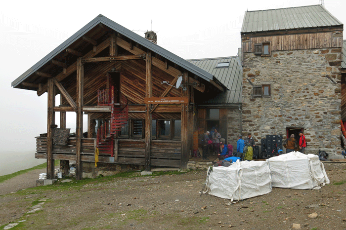
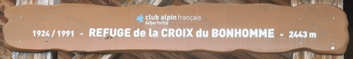
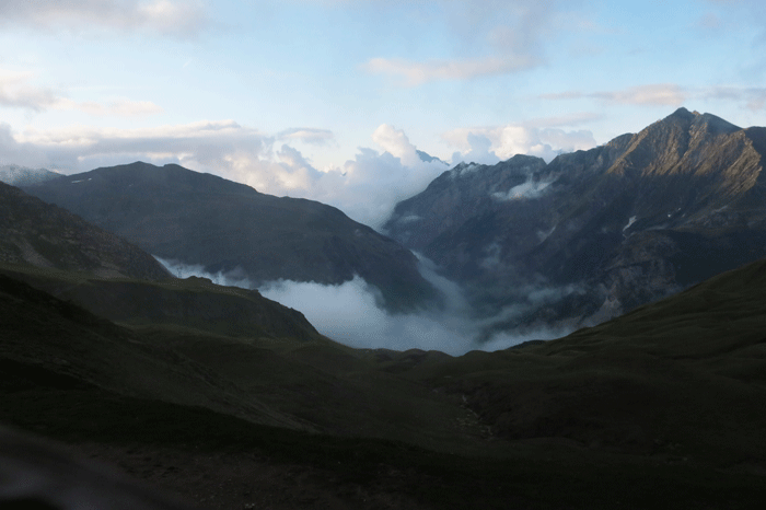
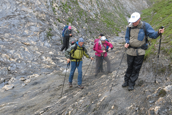
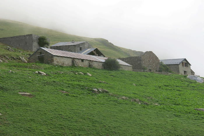
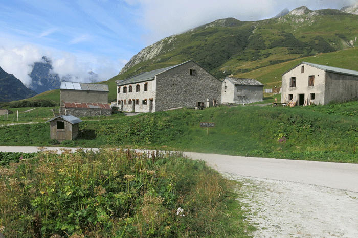
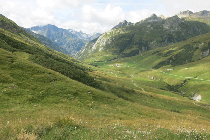
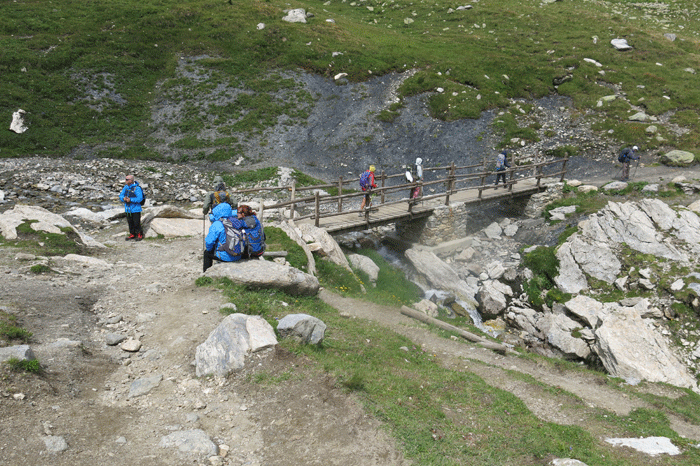
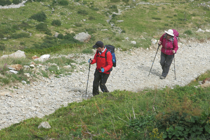
Early morning at Refuge de la Croix du Bonhomme

.
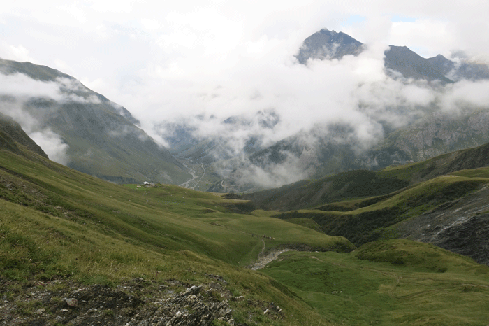
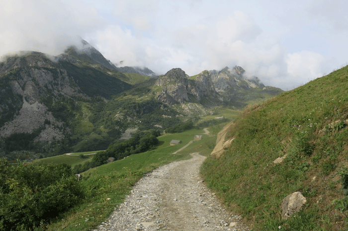
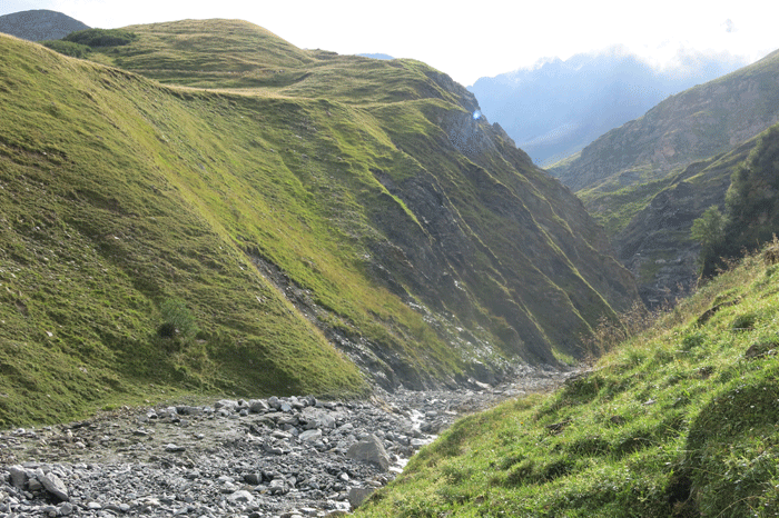
View towards Les Chapieux
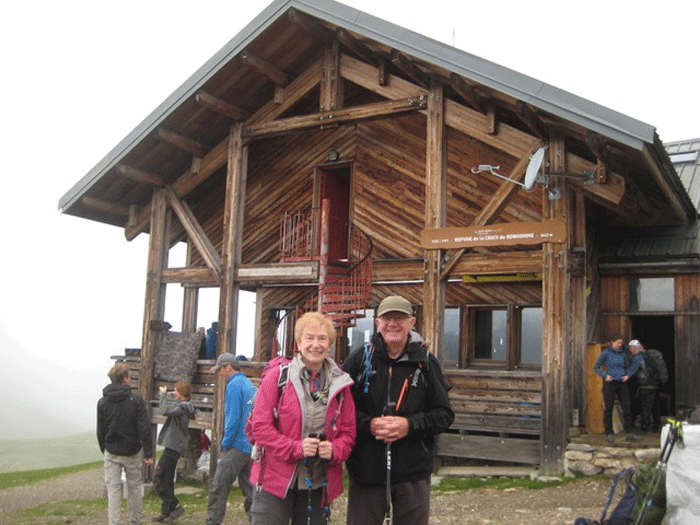
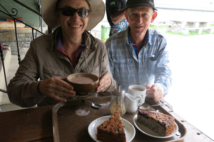
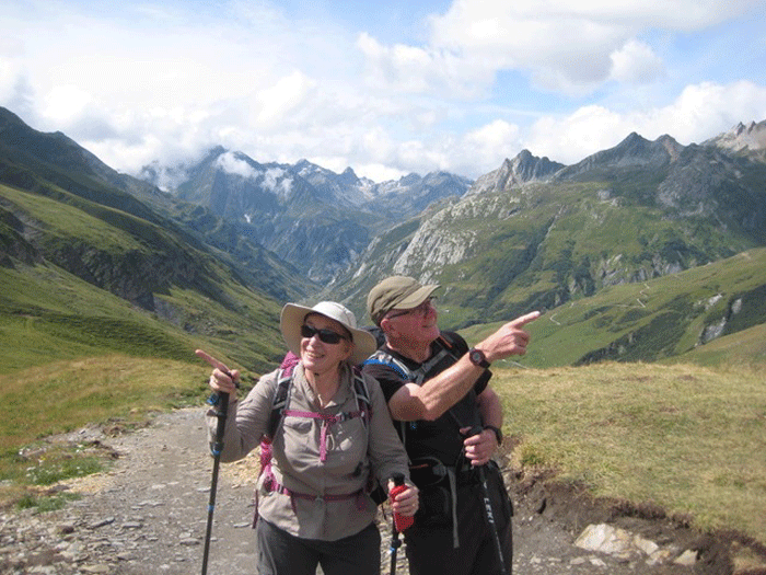
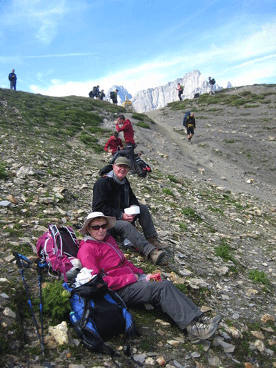
Lesley and Mick
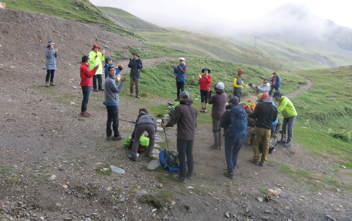
I joined a Korean group for pre-walk limbering up exercises; I have to say that it really helped!
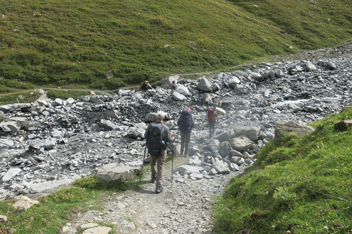
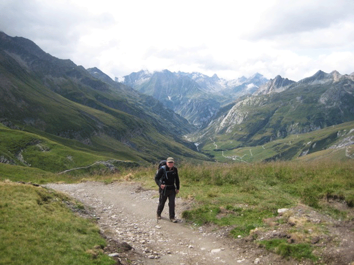
Leaving Refuge de la Croix du Bonhomme
.
.
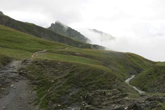
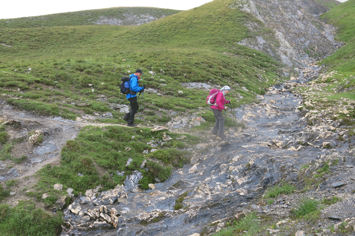
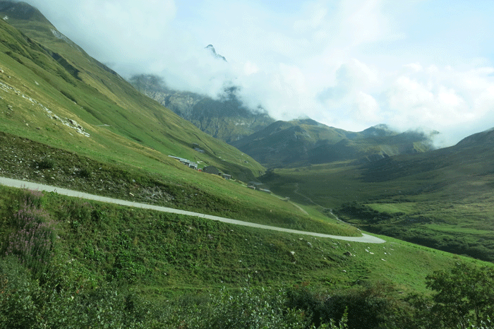
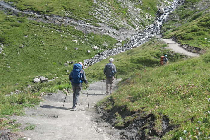
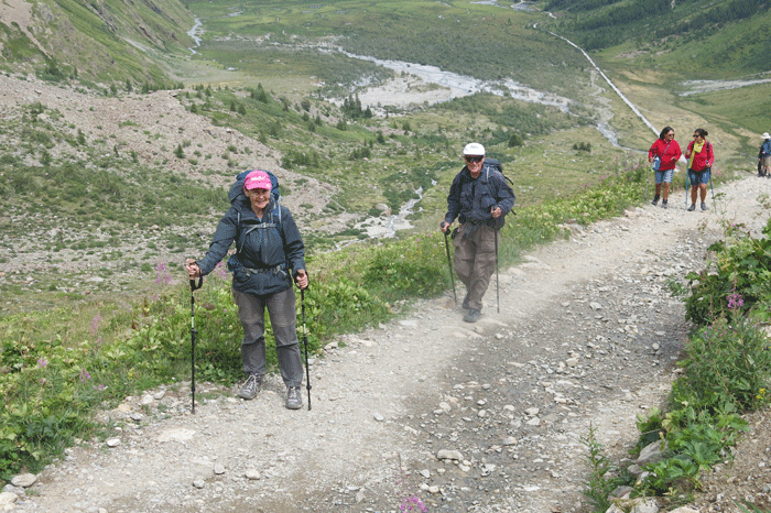
Dropping down to Les Chapieux; you can just see the road at the bottom
of the valley heading towards Valle de Glaciers.
Looking back up the hill towards Refuge de la Croix du Bonhomme
.
Descending to Les Chapieux
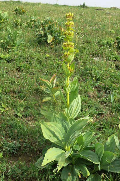
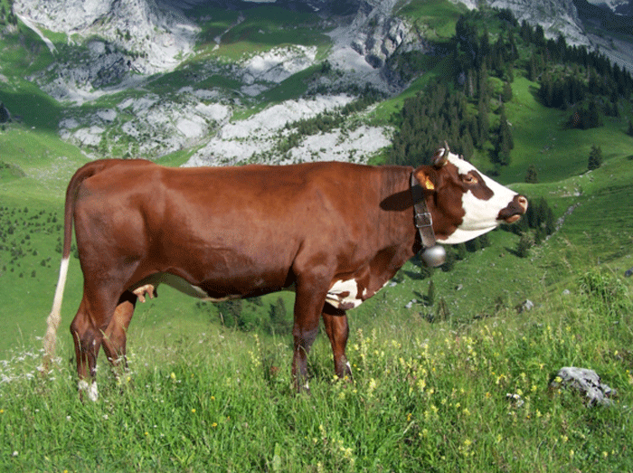
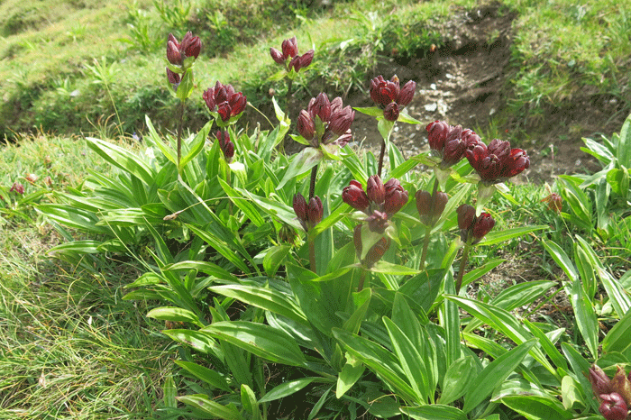
Great yellow gentiane (Gentiane Jaune - Gentiane lutea)
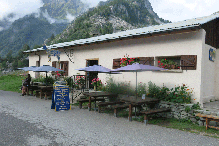
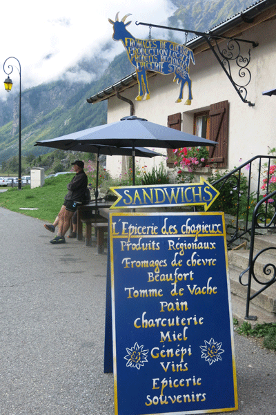
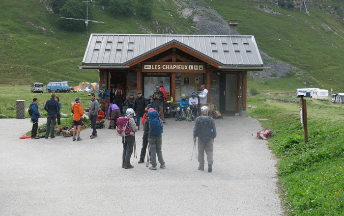
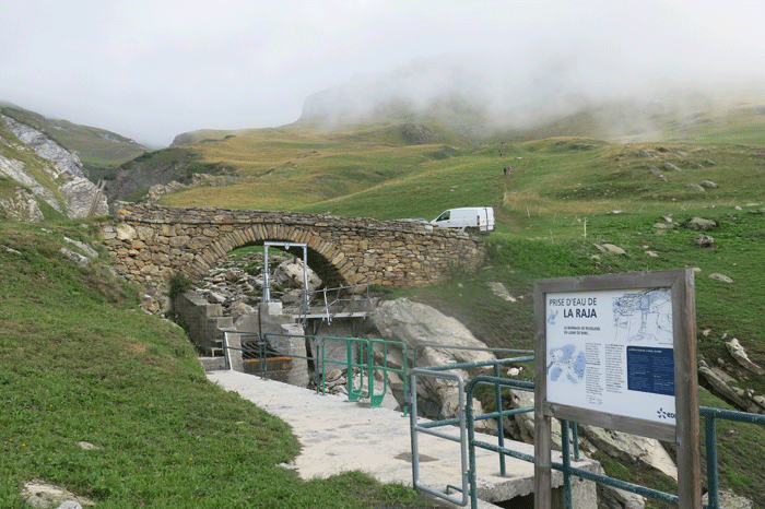
Les Chapieux
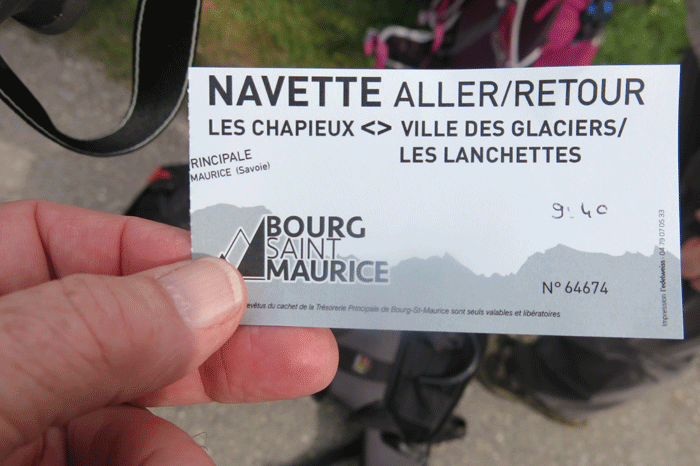
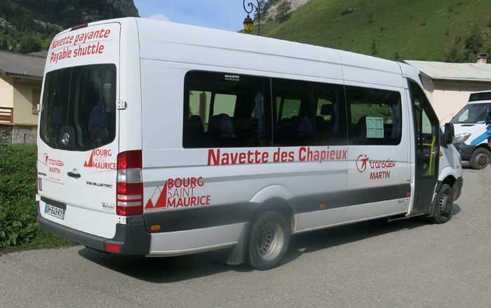
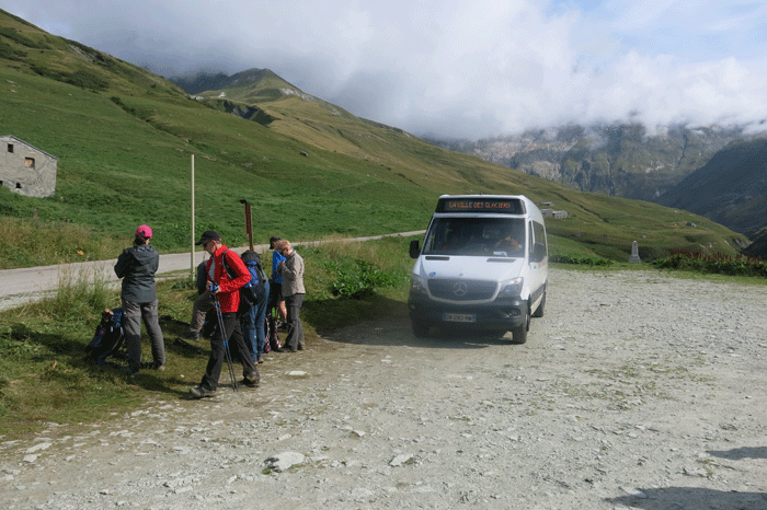
Euro 3.50 for the shuttle bus between Les Chapieux and Valle des Glaciers for adults single or return;
children under 12 free
.
The mini-bus goes from an elevation of 1,546 m at Les Chapieux to 1,786 m at La Ville de Glaciers over a distance of 5.4 km. There is an ascent of 434 m, and a descent into La Ville de Glaciers of 190 m
Navettes de Chapieux - Summer 2019
Saturday 6th July - Sunday 25th August - every day |
| Les Chapieux |
Selogne |
La Ville des Glaciers |
Parking des Mottets |
Les
Lanchettes |
| 08:30 |
08:40 |
08:50 |
|
|
| 08:40 |
08:50 |
09:00 |
09:10 |
09:15 |
| 09:05 |
09:15 |
09:25 |
|
|
| 09:40 |
09:50 |
10:00 |
|
|
| 09:45 |
09:55 |
10:05 |
10:15 |
10:20 |
| 10:15 |
10:25 |
10:35 |
|
|
| 10:50 |
11:00 |
11:10 |
|
|
| 11:00 |
11:10 |
11:20 |
11:30 |
11:35 |
| 11:25 |
11:35 |
11:45 |
|
|
| 12:10 |
12:20 |
12:30 |
|
|
| 13:30 |
13:40 |
13:50 |
|
|
| 13:55 |
14:05 |
14:15 |
14:25 |
14:30 |
| 14:05 |
14:15 |
14:25 |
|
|
| 14:40 |
14:50 |
15:00 |
|
|
| 15:05 |
15:15 |
15:25 |
|
|
| 15:35 |
15:45 |
15:55 |
|
|
| 16:00 |
16:10 |
16:20 |
|
|
| 16:10 |
16:20 |
16:30 |
16:40 |
16:45 |
| 16:40 |
16:50 |
17:00 |
|
|
| 17:15 |
17:25 |
17:35 |
|
|
| 17:30 |
17:40 |
17:50 |
|
|
Navettes de Chapieux - Summer 2019
Monday 26th August - Saturday 31st August -every day |
| Les Chapieux |
Selogne |
La Ville des Glaciers |
Parking des Mottets |
Les
Lanchettes |
| 09:30 |
09:40 |
09:50 |
10:00 |
10:05 |
| 10:40 |
10:50 |
11:00 |
11:10 |
11:15 |
| 11:50 |
12:00 |
12:10 |
12:20 |
12:25 |
| 14:00 |
14:10 |
14:20 |
14:30 |
14:35 |
| 15:10 |
15:20 |
15:30 |
15:40 |
15:45 |
| 16:20 |
16:30 |
16:40 |
16:50 |
16:55 |
.
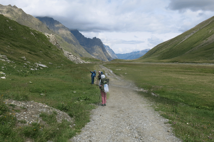
Heading to Valle des Glaciers
.
La Ville des Glaciers
Vente Beaufort Cheese Plant
Raw and whole milk: it is the basis of the Beaufort. It goes through several stages of renneting, curdling, of cutting, brewing, cooking to finally reach the phases of casting (in a wooden circle, where the characteristic concave heel of this cheese comes from) and pressing.
Flipped over and then salted, the wheels of about 40 kg are finally reaching the maturing process on spruce shelves in cellars, they will be turned over and salted about twice a week, and this for at least 5 to 12 months before the Beaufort is ready to be tasted. An entire program to get an exquisite result! |
20 minutes to Refuge des Mottets
Looking back from whence we came
.
.
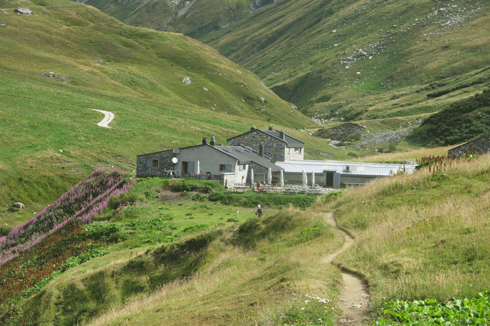
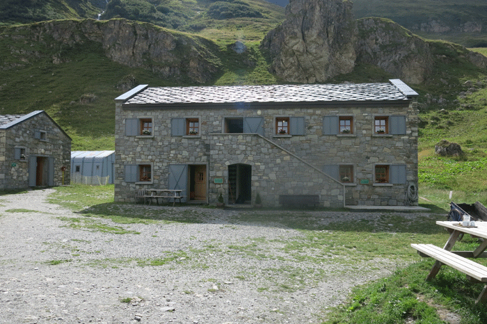
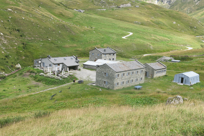
Refuge des Mottets
.
.
.
.
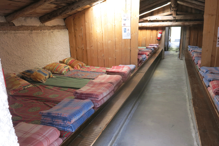
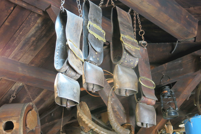
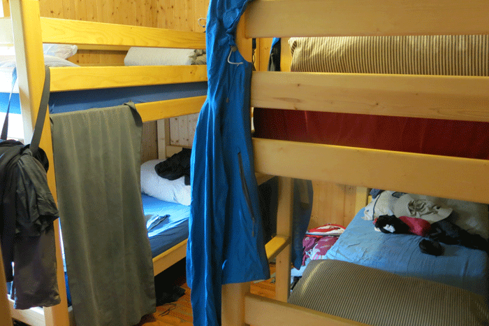
Sleeping accommodation at Refuge des Mottets
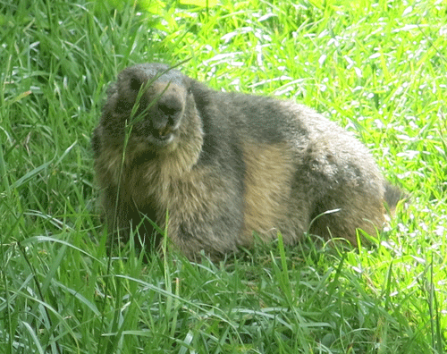
Monty the marmot

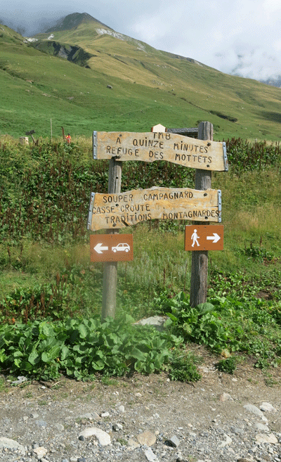
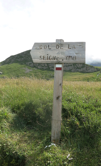
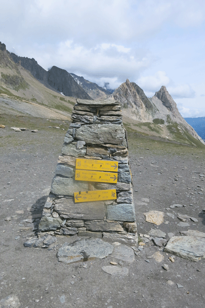
Signposted two hours to Col de la Seigne, Italy
(Note the alternative higher route via Refuge Robert Blanc at this point)
.
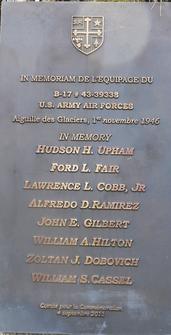
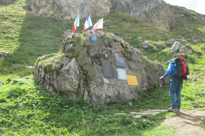
B-17 Serial number 43-39338, the ill-fated aircraft which crashed into Mont Blanc on November 1 1946, was a Boeing model 299, more commonly known by the US Army Air Force designation of B-17G. It was one of the 8,680 B-17G’s built between 1943 and 1945. Although designed as a bomber, at the conclusion of WW-2, a number of these versatile 4-engined airplanes were used by the US Army Air Force’s European Air Transport Service, mainly for troop transport, the role in which the aircraft piloted by Col. H.H. Upham was operating at the time of the crash.
At approximately 4 a.m. local time on November 1st 1946, the flight of a B-17 “Flying Fortress” abruptly and catastrophically ended when it crashed into the 12,500 feet high Aiguille des Glaciers, on the south-west shoulder of Mont Blanc, practically on the French-Italian border. The impact was such that the aircraft completely disintegrated, scattering mechanical parts and the remains of its 8-man crew over a wide area on both sides of the border. The nearly-new B-17 model G, serial number 43-39338, was assigned to the USAAF’s European Air Transport Service (EATS), the 15th Troop Carrier Squadron of the 61st Troop Carrier Group, and had totalled less than 200 flight hours . It was en route from the Capodichino Air Base in Naples (Italy) to Bovingdon, a small town near Southampton in England. For an as-yet unexplained reason, at the moment of the crash, the aircraft was more than 90 miles east of its planned flight path.
It was not until July 1947 that a French Alpine Patrol chanced on the impact site and found fragments of wreckage at around 12,000 feet, just below the summit of the Aiguille des Glaciers, part of Mont Blanc, the highest mountain in Europe. Despite the deep snow and treacherous conditions they managed to recover a number of human remains and documents. These were brought down to their base at Bourg Saint-Maurice for examination. The documents identified the aircraft as the missing B-17. The human remains, evidently those of the crew, were carefully conserved for consignment to the American authorities. |
Looking back on Refuge des Mottets
Looking back to La Ville des Glaciers
Mick
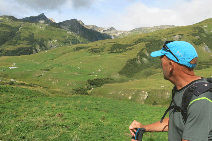
Just look at that!
Heading to Col de la Seigne
.
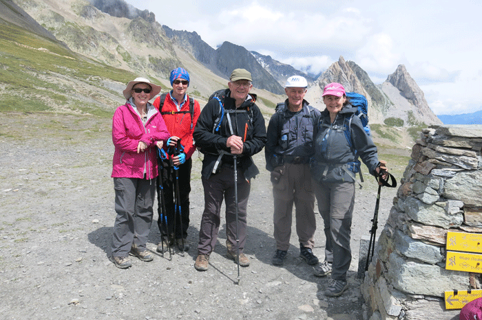
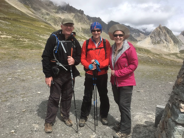
At Col de la Seigne, 2,516m, the border between France and Italy
Mick, Jim & Lesley
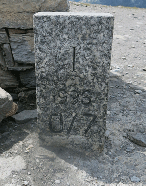
The border marker
Col de la Seigne 2,516m
Lunch just below Col de la Seigne

.

La Casermetta
Owned by the Autonomous Region Valle d'Aosta and run by the Courmayeur "Montagna Sicura" Foundation, the Casermetta in Val Veny is the Espace Mont Blanc centre for transboundary environmental education. It houses an educational center, display and reception area for hikers and a shelter for hikers (abri du randonneur).
The Col de la Seigne was an ancient route for goods passing between Italy and France. The name is old and of an uncertain origin. The medieval terms Mons Senae, Collium de Senia, Alpis Seniae make reference to the "Colle del Sengale", while the Celtic term "sange" means marshy land, which is found lower down in the area of Lake Combal. Col de la Seigne became well known due to the Tour du Mont Blanc, but it acquired notoriety during the Second World War when a series of military outposts were built along the frontier between France and Italy. |
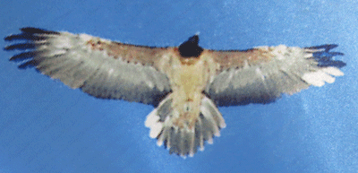
Display of an eagle in La Casermetta
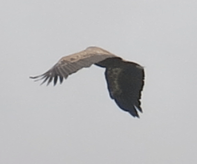
One of several eagles flying above us
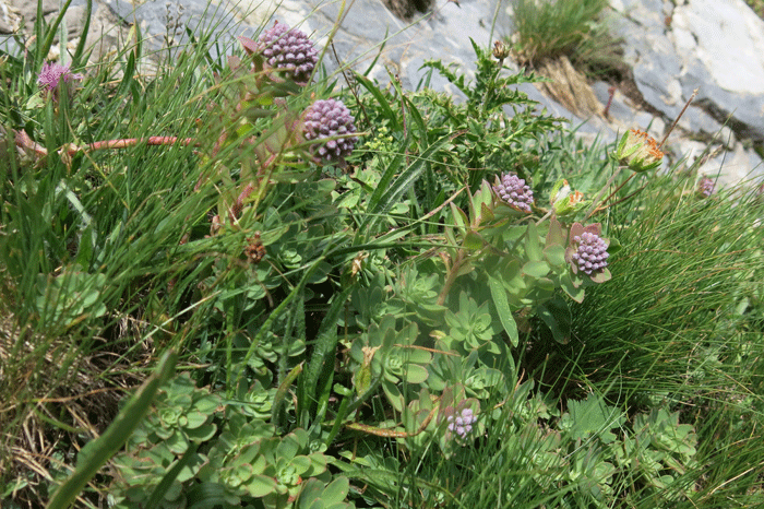
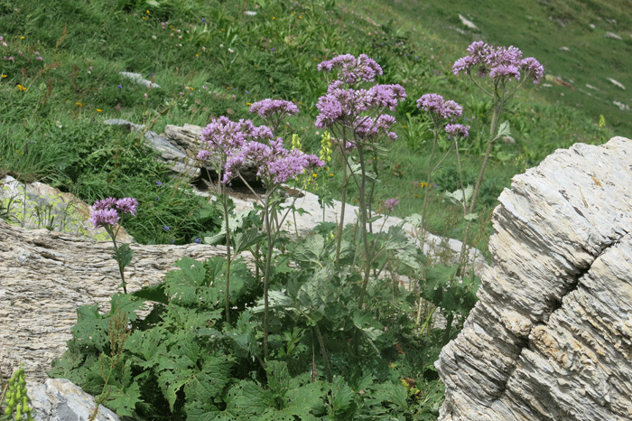
Purple Gentiane (Gentiane paupre)
.
.
.
.
.
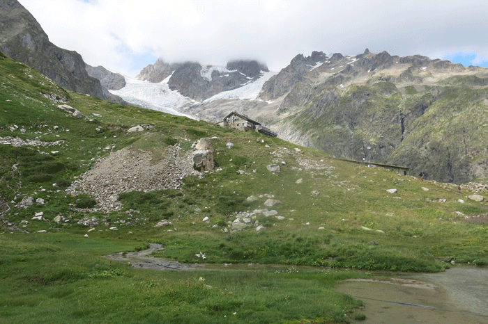
Approaching Refugio Elisabetta
Glacier du Petit Mont-Blanc
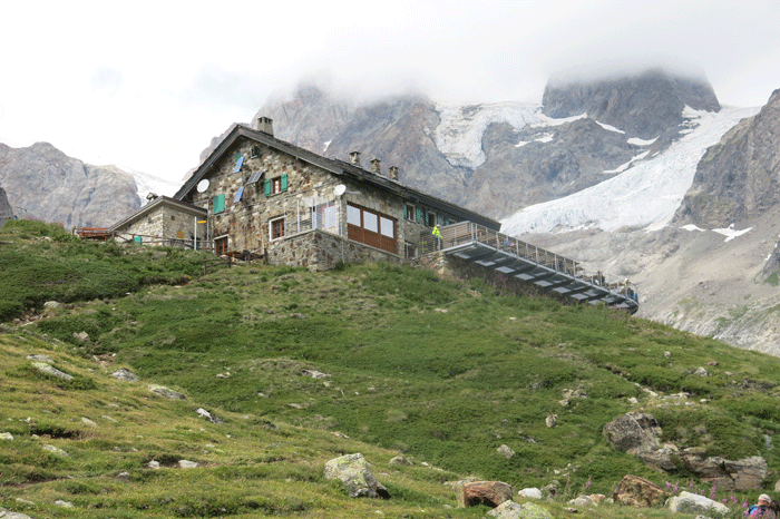
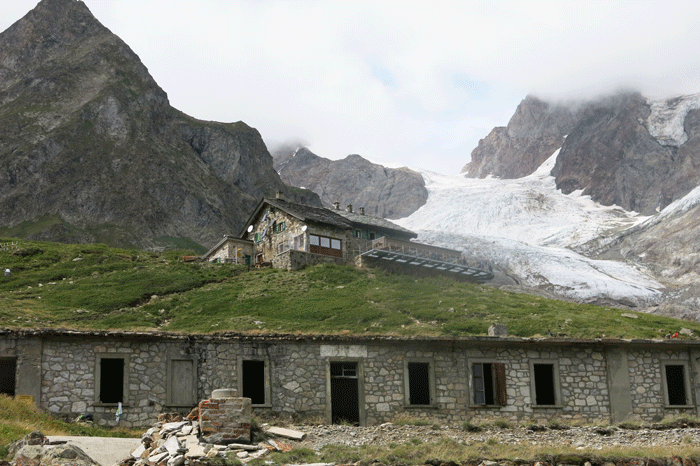
Refugio Elisabetta 2,195m
One of the rare occasions when Mick reached the destination first; Kath and Bob in close second!
Then the weary Knights!
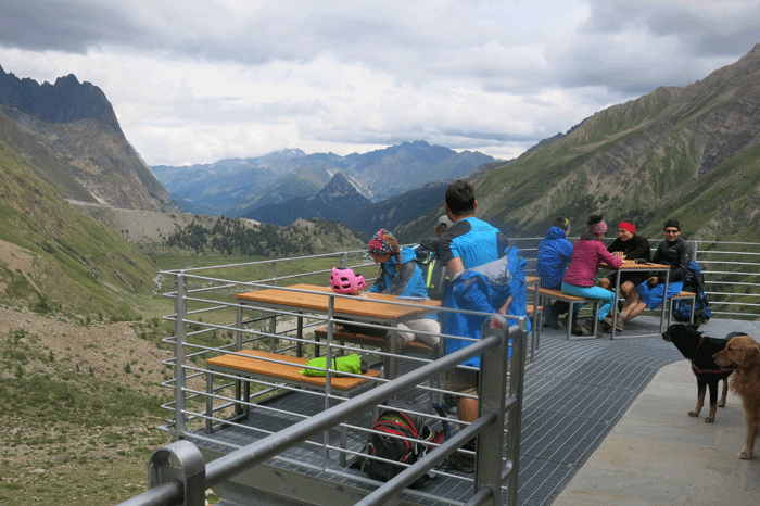
View from the terrace
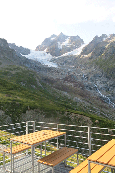
.
.
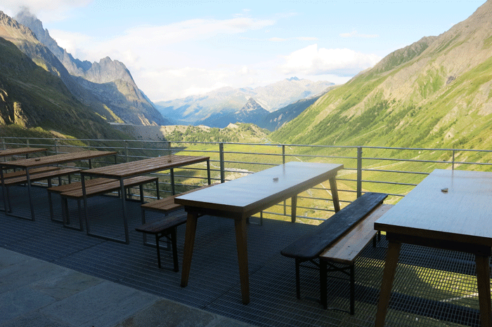
View down the valley in the direction of Courmayeur
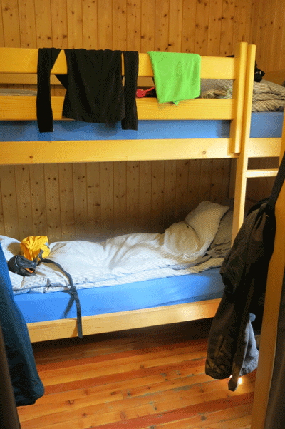
Our room with 6 bunk beds. Cosy!
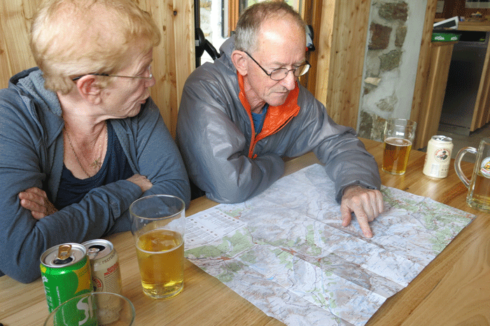
Planning the next day's route over a beer
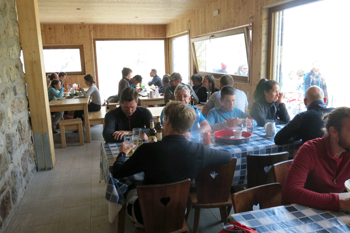
Waiting for dinner
|
